The Bay Area Ridge Trail is a work in progress trail that circumnavigates the San Francisco Bay. It passes through many beautiful parks and is very public transit accesible. As there are still many gaps in the official trail. I have been working on section hiking the traversible route on the FKT website. Link here.
This trail remind me of the Tahoe Rim Trail, a beautiful trail around a beautiful body of water. There are a few road walks in this route (the biggest one being Hwy 37, which I have not done) but every section I have done so far has been very pleasant. Urban hiking has a different pace then wilderness, sure there are more roads and homes, but the going is a lot more varied and it keeps you on your toes.
For many of these overnights I stealth camped in places I was not supposed to. I won’t comment on the morality of this approach, but if you are quiet and careful, it would be very unlikely to be caught. Pack light to avoid suspicion, camp far from the trail and setup and takedown camp in the dark if possible.
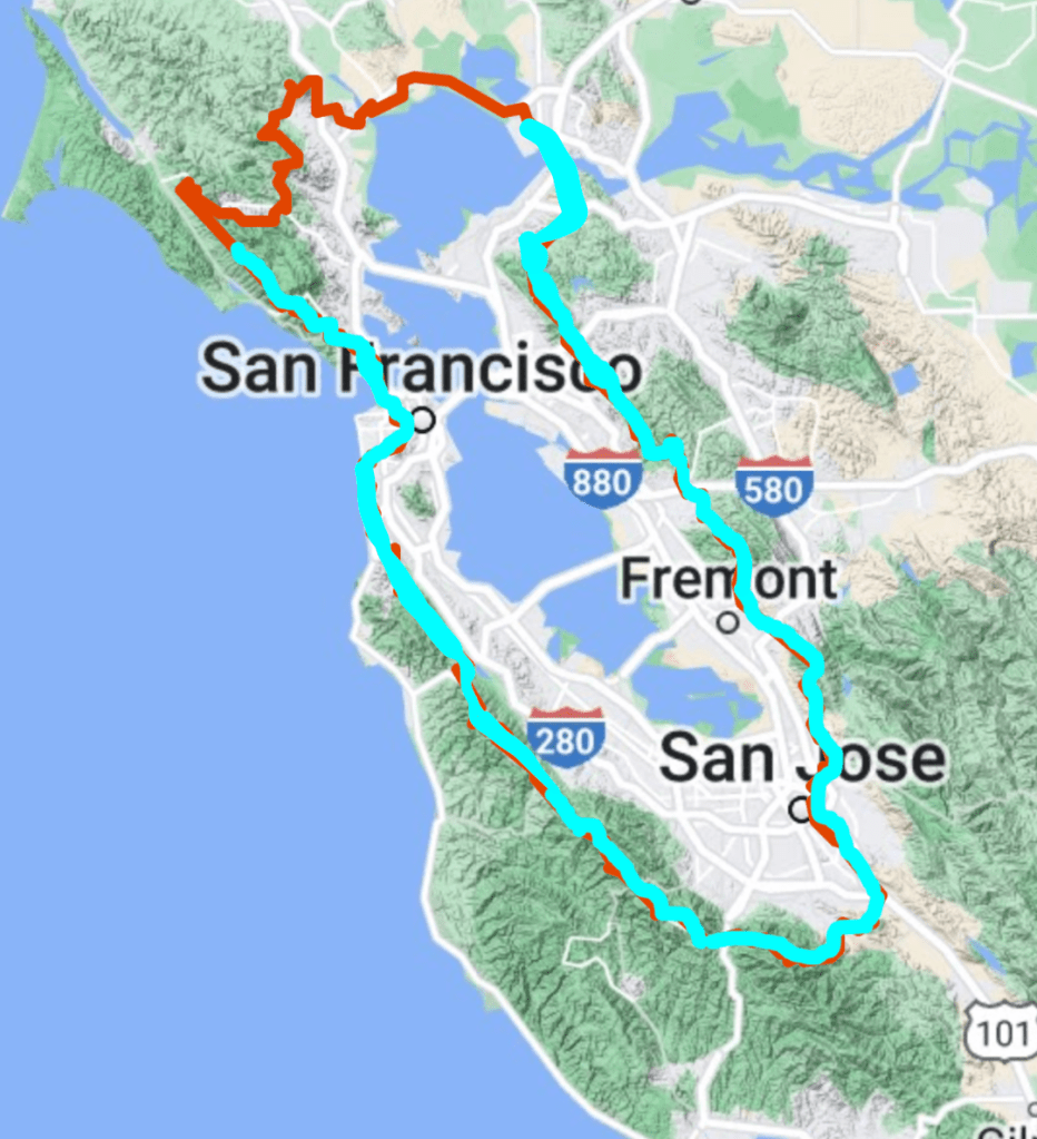
A few trip reports from sections that I have done (trip reports are not chronological, but organized geographically from the Carquinez Bridge clockwise)
- Berkeley to Vallejo (26 mi.)
- East Bay Skyline Central, see: Berkeley to Livermore
- Castro Valley BART to Moraga (21 mi.)
- Castro Valley BART to South Hayward BART (20 mi.)
- South Hayward BART to Fremont BART (10 mi.)
- Fremont BART to Milpitas BART (22 mi.)
- Milpitas BART to Santa Teresa Light Rail (21 mi.)
- Winchester Light Rail to Santa Teresa Light Rail (45 mi.)
- Palo Alto Caltrain to Los Gatos Bus Station (45 mi.)
- SF Zoo to Palo Alto Skyline (55 mi.)
- Golden Gate to Daly City BART (12 mi.)
- Southern Marin, see Golden Gate to Drake’s Bay
