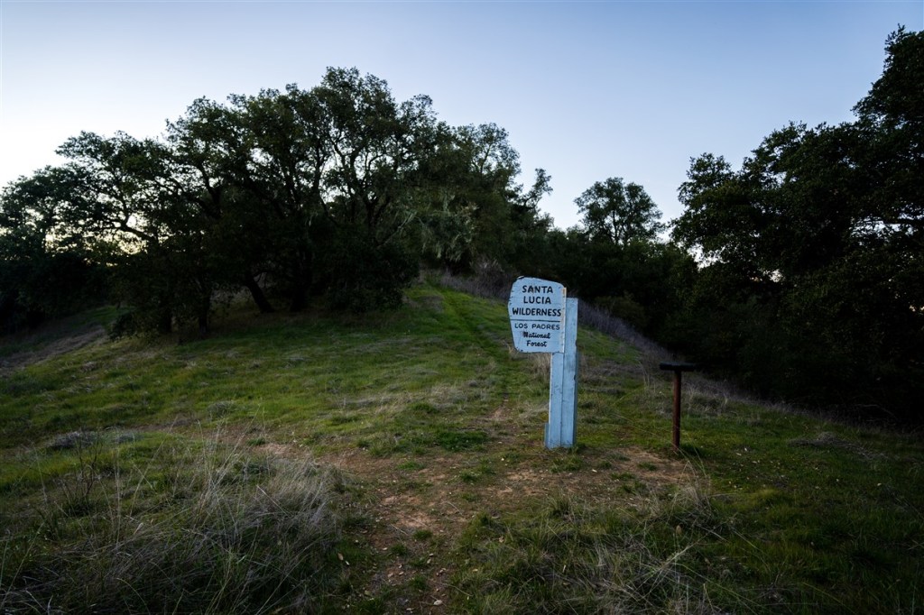
The Condor trail is a trail that goes from Lake Piru in Los Angeles County, to Botchers Gap in Big Sur. The trail is a work in progress: there is some road walking and bushwhacking, but also lots of good trail. At least as of 2020, there was not much information about the trail online. One person had successfully thru-hiked the trail in the past, and potentially a few other. I wrote to the trail’s creator and got no response.
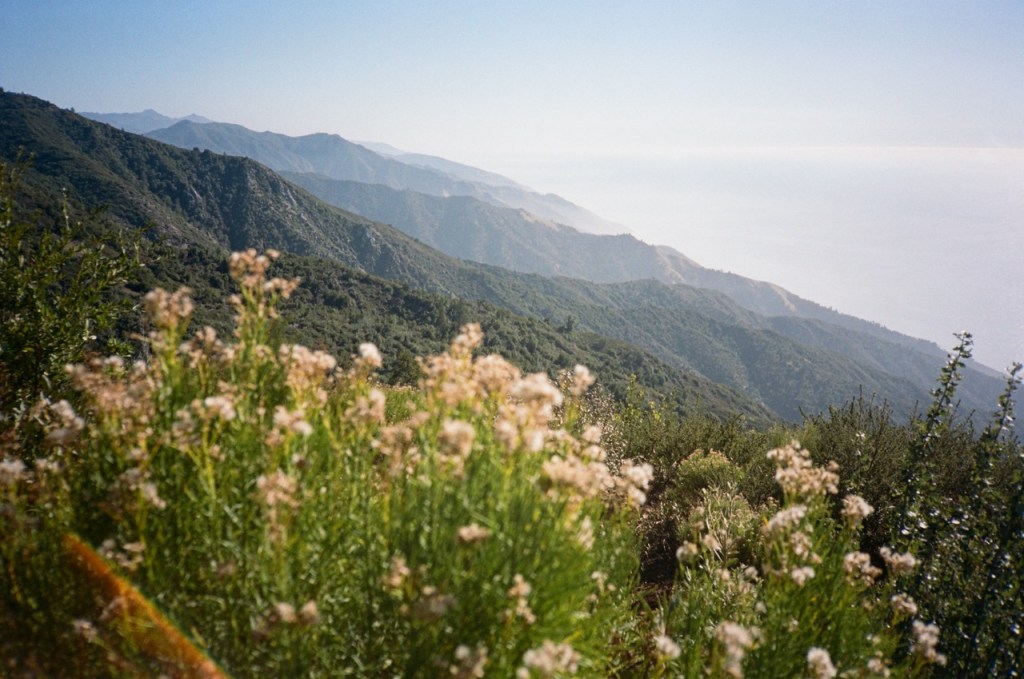
The trail features stunning natural beauty, solitude, and remoteness. Depending on the weather (beware atmospheric rivers!) this trail is best hiked between February and April. Few other trails can be hiked in February, so it was an easy choice to try out the Condor trail.
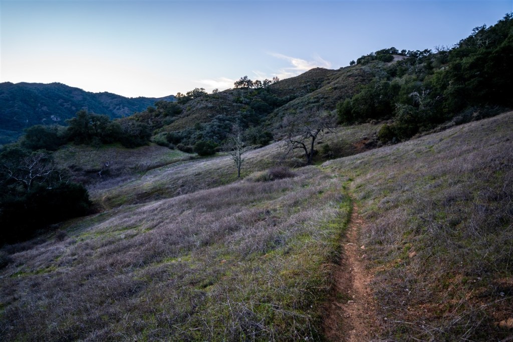
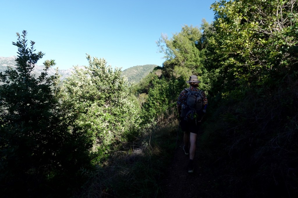
At the end of January in 2020, my friend Matt dropped me off at Lake Piru. He was starting a full-time job the next day and he said it felt like taking the adventurous part of him out back and shooting it. I walked north into Los Padres National Forest, largely unknown territory for me. The first day was quite humbling, I wasn’t on the PCT anymore! Up and over a large climb on faint trails, and then down to a creek with no trail.


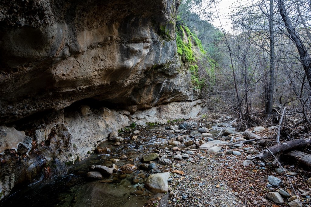
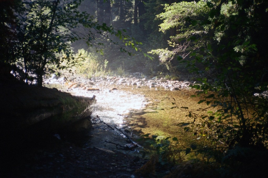
The going in the creek was quite slow. There was no trail at all and many times it was easier to go straight up the creek. I pushed on, covering about a mile an hour. The bush was thick. I lost one of my waterbottles because it got snagged in the bushes and I didn’t notice. The sun sets early in this time of the year, and I found a place to camp just as the last light disappeared.

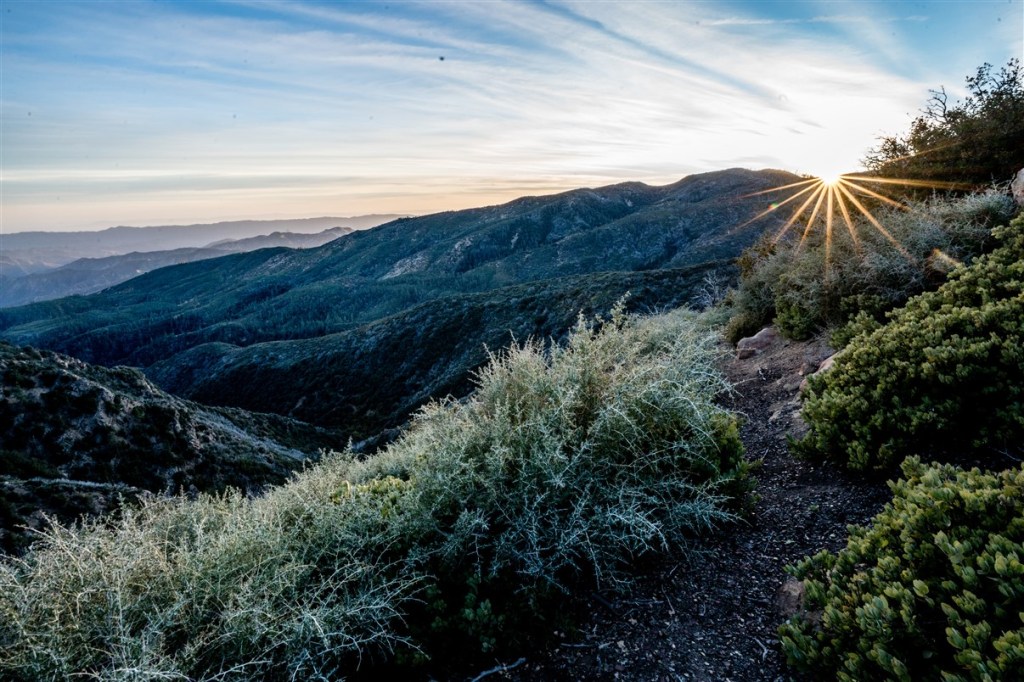
The next day the going slowly got better, after a few more miles of bushwacking up the creek, I climbed up and out of it on a faint use trail. The terrain was extremely beautiful and remote. I felt like I was hundreds of miles from civilization, even though I was actually pretty close to LA. I camped that night in the Sespe drainage.

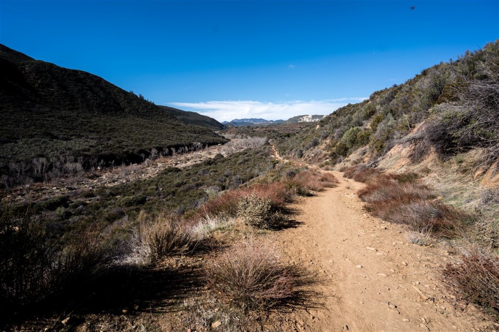
I did not see anyone the first two days of the Condor trail, but saw a fair number of people in the Sespe draignage. The trail was in excellent condition and the going was fast. I reached the Piedra Blanca trail and hitched into Ojai.
In Ojai I resupplied, and tried to do more research on the trail ahead. I reached out to a few people on facebook, and a guy named Matthew wrote back to me. We talked on the phone for about 30 minutes and he gave me some advice on the trail ahead. Having an idea of which sections would be particularly bushwhacky helped me plan food and approximate miles. He warned me of a few sections that were particularly heinous, and gave me a few potential routes to bypass these sections.
In the Los Padres National Forest, trail conditions change rapidly. Trail maintenance can seem Sisyphean as brush grows in quickly. Poor trail conditions lead to low trail traffic, a vicious cycle. Because trail conditions vary greatly, I’d recommend checking this site before you go: https://www.hikelospadres.com/hiking-trails.html.
After speaking with Matthew, I felt a lot more confident that I could move forward safely. I found a place to watch the Super Bowl, and unfortunately the Niners lost. Unable to get a ride to the trail that evening, I stealth camped in the park. It was a cold 24 degrees, unusually chilly for Southern California.

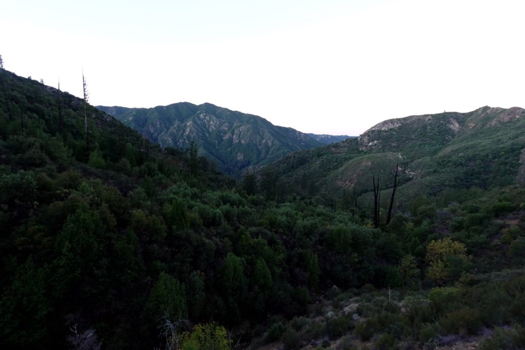
I got a hitch back to trail the next morning, and I began to settle into more of a rhythm. Due to snow I had to take a detour, but I was going north and starting to really enjoy the trail. After a bit more bushwacking and another detour, I camped at the upper headwaters of the Sisquoc River a few nights later.
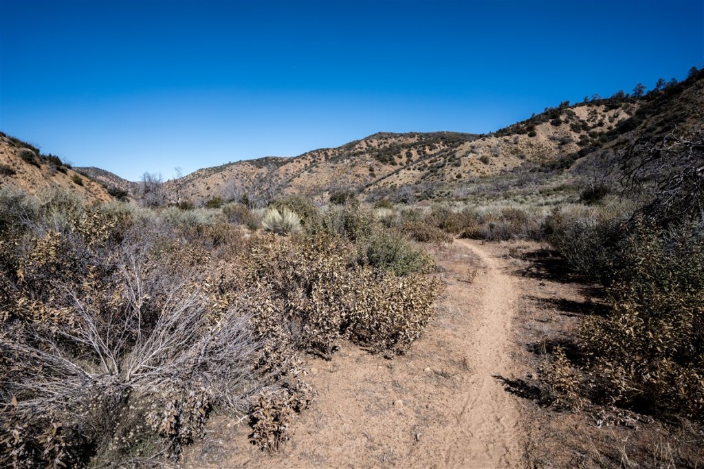

The Sisquoc was beautiful and remote, but the trail conditions started to deteriorate quickly. Matthew warned that if I stayed on these trails, the climb out of the lower Sisquoc was one of the toughest bushwhacks on the trail. He said there was a long stretch of bushwhacking up old firebreaks with no water.


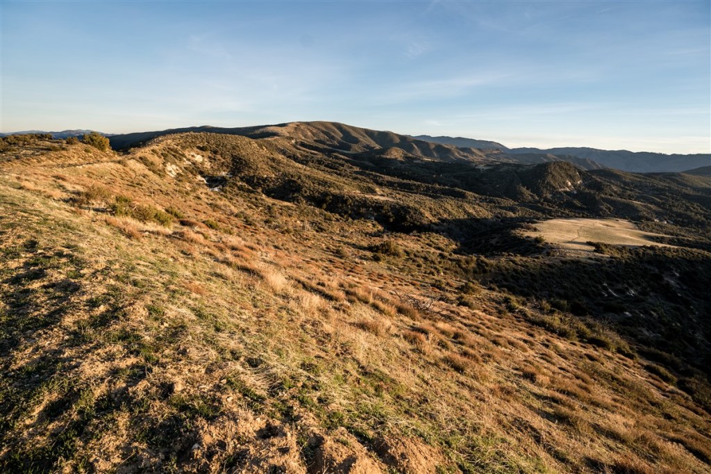
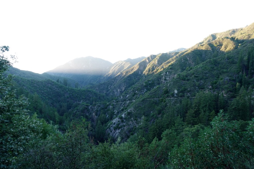
I decided to take a major detour from the trail, climb out of the Sisquoc and follow the Sierra Madre dirt road instead. The views were incredible, the going was fast and I still didn’t see any people. I gazed down at the bush filled Sisquoc below.
One theme of this trail for me was distractions from the outside world. Unlike the PCT where I was almost 100% focused on the trail. The democratic primary, the superbowl, a rocky relationship with my partner at the time and my job hunt all distracted me from the trail. But, perhaps the biggest distraction of all came as I walked across Sierra Madre Rd. I thought I had graduated college two months prior, but I got an email from my advisor saying that one of the classes I took the last semester did not count for the breadth requirement. I was quite suprised and confused. She told me that I needed to fill out some forms and return to Berkeley for an appeal hearing. I told her I was in the middle of the wilderness.
I walked 45 miles that day thinking about what to do. She told me my appeal had about a 75% chance of going through. When I started the trail, I thought I had a 100% chance of having a degree.
I camped by the paved road that night and then hitched into Santa Maria the next day. I tried to explain what I was doing to the man who picked me up, but he didn’t understand at all. Out here all alone? Sleeping outside? Unlike on other long trail where there is a community of other hikers and trail towns, I felt like a pioneer on the Condor Trail. This may make hitching and resupply slightly harder, but it for sure makes it more of an adventure.
After a day in town resupplying, eating and submitting my (virtual) appeal, I got a hitch back to the trail. This upcoming section featured a few mile stretch of trespassing, which I passed through that night.

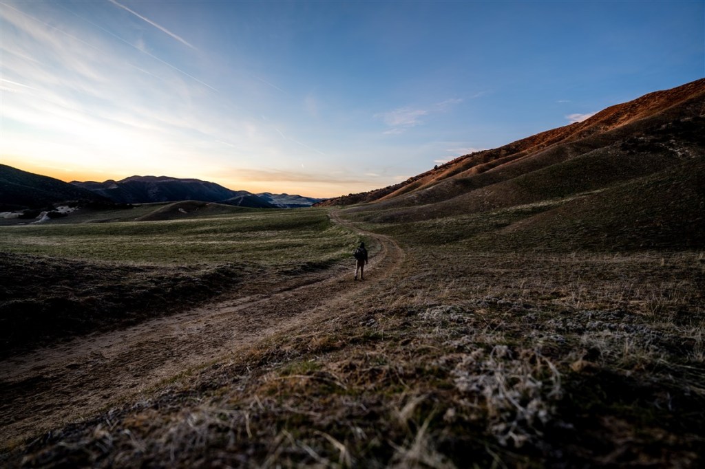
Relieved to have the trespassing out of the way and the appeal submitted, I continued north towards San Luis Obispo. The trail was beautiful, passing through oak woodland and rolling green hills. The next day I got my first glimpse down at San Luis Obispo, and idyllic city surrounded by green grassy hills. Over 200 miles in, this stretch near SLO was only the second stretch where I encountered other hikers.


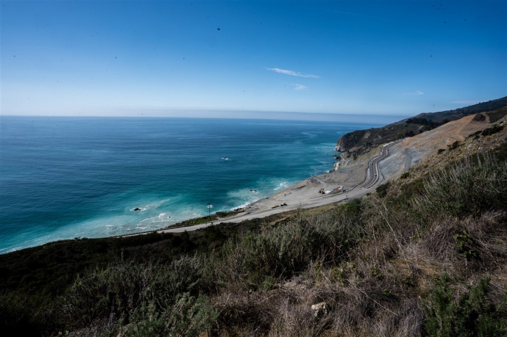
I played frogger across US-101 at the top of the Cuesta Grade, and continued up west Cuesta Rd. Once the trail reaches hwy 41, there is an almost 50 mile paved roadwalk into Big Sur. There is a gap in Los Padres National Forest due to private land holdings and the Hearst Castle. Hopefully one day this gap can be filled in, but the trail follows the road for now.
I walked 8 miles down hwy 41 into the beautiful town of Morro Bay (resupply number three), and continued north along the coast. The road walk was tedious, but it was a welcome change of pace and the miles went by fast. There is not a more beautiful place to roadwalk then hwy 1. I met a lot of bike tourers and even one other road walker. I asked him why he walked the road through Big Sur and not the Condor trail and he looked at me like I was crazy.
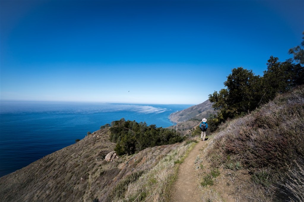
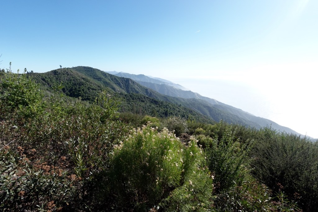
Finally, I got to Big Sur, a beautiful place where the rugged mountains of Los Padres meet the Pacific Ocean. For how crowded Bixby Creek Bridge and Mcvay falls are, I found it suprising I didn’t see many hikers in southern Big Sur.
My friend from the PCT, Clax, joined me for the final section. Unfortunately, I had a job interview in a few days, so I knew I would not be able to finish the whole trail. We made it as far into beautiful Big Sur as we could in a few days. Cone Peak was a logical stopping point, and then we descended 5,000 ft down to the Pacific.


When we got to the road, we hitched to Clax’s car and he dropped me off at my parent’s house. I planned to come back and finish up the trail perhaps after the AZT, but then COVID came and I moved to Bishop. Fire closures and other events prevented me from finishing the trail. Finishing the last forty miles is one of my top priorities, but unfortunately as of 2023, Los Padres is closed due to flooding and landslides.
PART II: November 2025
Almost six years had passed since I first set out on this trail in 2020. I had planned to come back many times, but kept getting stopped by one reason or another. Fires, floods, landslides, road closures etc. all seemed to take turns effecting the area. What had this stretch of land done to receive such a beating?
Matt and I originally planned to hike Homer’s nose, but early season snow storms meant that even the Southern Sierra was thickly blanketed by snow. I threw out finishing the Condor trail as an alternative, and Matt bit. He had a bad experience hiking in Big Sur years ago, but was willing to give it another try since the trail conditions looked more favorable.
I got off work at 2:30 in Mammoth and drove seven hours back to the Bay. The next morning I drove another hour and arrived at Matt’s house at 8am. The two of us and Lexi all had a great breakfast together and caught up. The plan was for Matt and I to hike most of the Sykes/Pine Ridge Loop together, and then for me to split off and continue south on my own. Thus there was really no hurry, and we could sit and enjoy breakfast and conversation.
It was around noon when we finally set out on the trail. Technically the Condor trail ends at Botcher’s Gap Campground, but those trails have been grown over for years, and I decided to make an alternate ending at Pfeiffer Big Sur State Park instead. This is a park I grew up camping at once a year. To me, this is the heart of Big Sur.
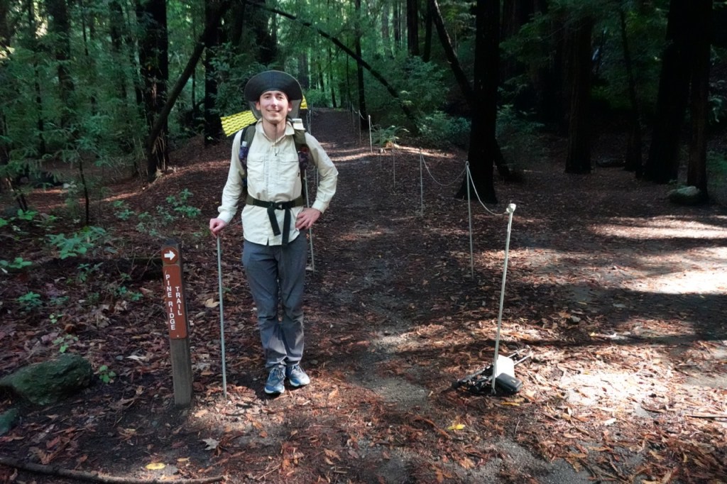
After paying the parking fee, and having a nice conversation with the ranger, we set off up the trail. It felts good to be hiking again after so much time in the car. Big Sur was even more rugged and beautiful than I remembered. This trail was a veritable wilderness freeway though and we made miles quickly. Soon we had passed most of the 27 people the ranger told us were out on the trail.

We opted not to detour to Sykes Hot Springs, and continued on to Redwood camp instead. We found a beautiful campspot under some redwoods at last light, and pitched our tarps. With the 5pm sunsets, we had lots of time to talk late into the night before it was time to go to bed.


The next day we climbed steeply into and out of branches of the Big Sur River. The miles passed by too quickly, and soon Matt and I were saying our farewells. I told him I’d be back to his house for dinner the next day. I knew I could only make it if everything went to plan.
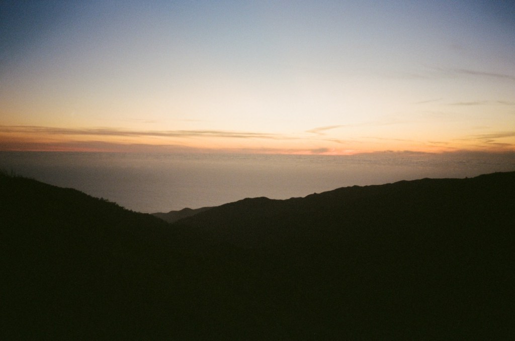
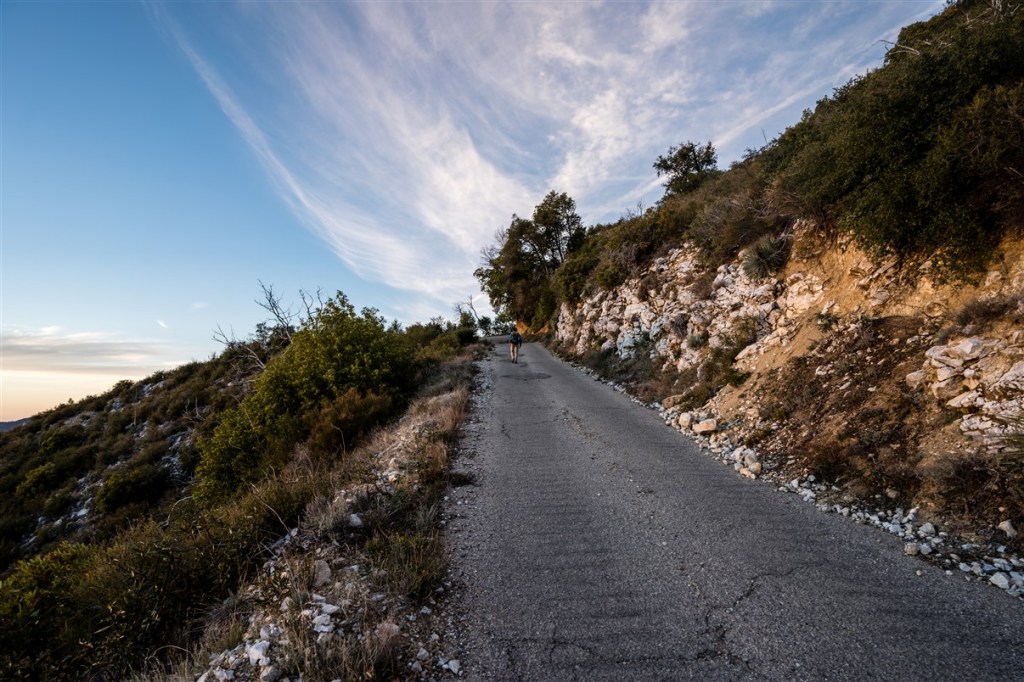
The views along the Coast Ridge Road were beautiful. The miles came quickly, and soon I was on the trail portion of the ridge. The trail was a bit bushy in places, but overall not too bad. Since the trail stayed on the ridge, mostly in a fire cut, navigation was pretty easy. I hiked on into the fading light, and night hiked another hour for good measure. I wanted to get to Nacimiento Ferguson at a reasonable time the next day for hitchhiking. At this time of year it never hurts to do a bit of night hiking, as the days end so soon.
I planned to stay up until 8pm, but by 7:15pm I was drifting off to sleep.


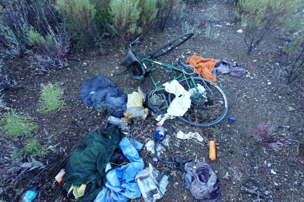
The trail continued along the ridge, occasionally contouring around. It appeared that the trail was following an old road, long ago abandoned. A few miles into my morning, I found an abandoned bike. I am guessing that a bicycle tourist tried to hike their bike through the wilderness, and got frustrated by all the bush. In a moment of sheer despair, they must have abandoned all of their belongings and proceeded on foot.
The trail got bushier and bushier. I spent 10 minutes on my hand and knees crawling through one section. Just as I was starting to get discouraged, the bush cleared, and a trail reemerged.


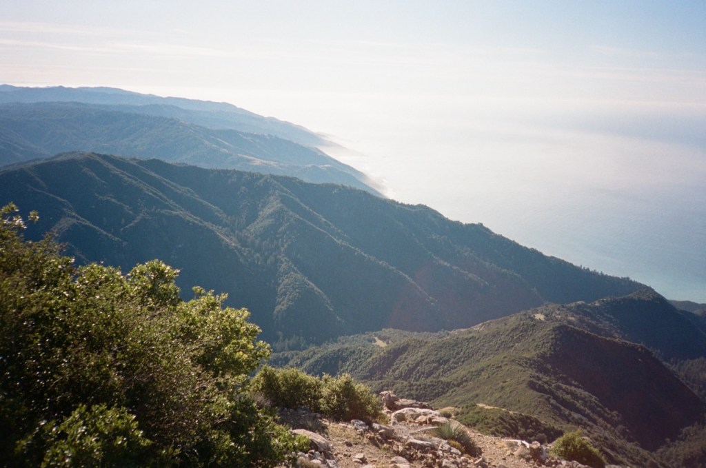
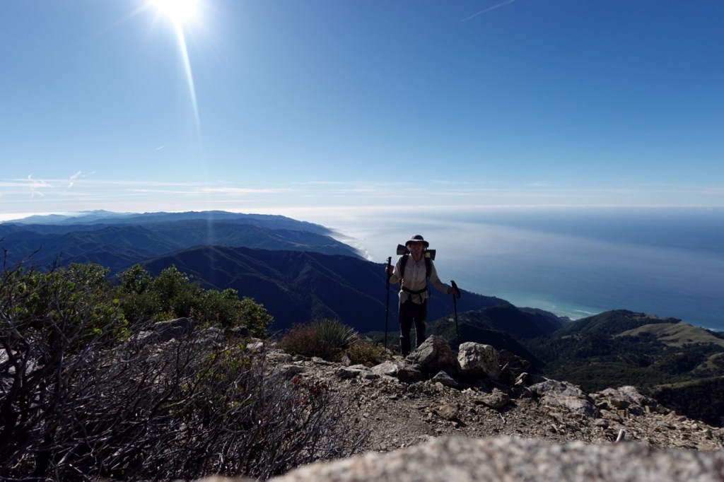
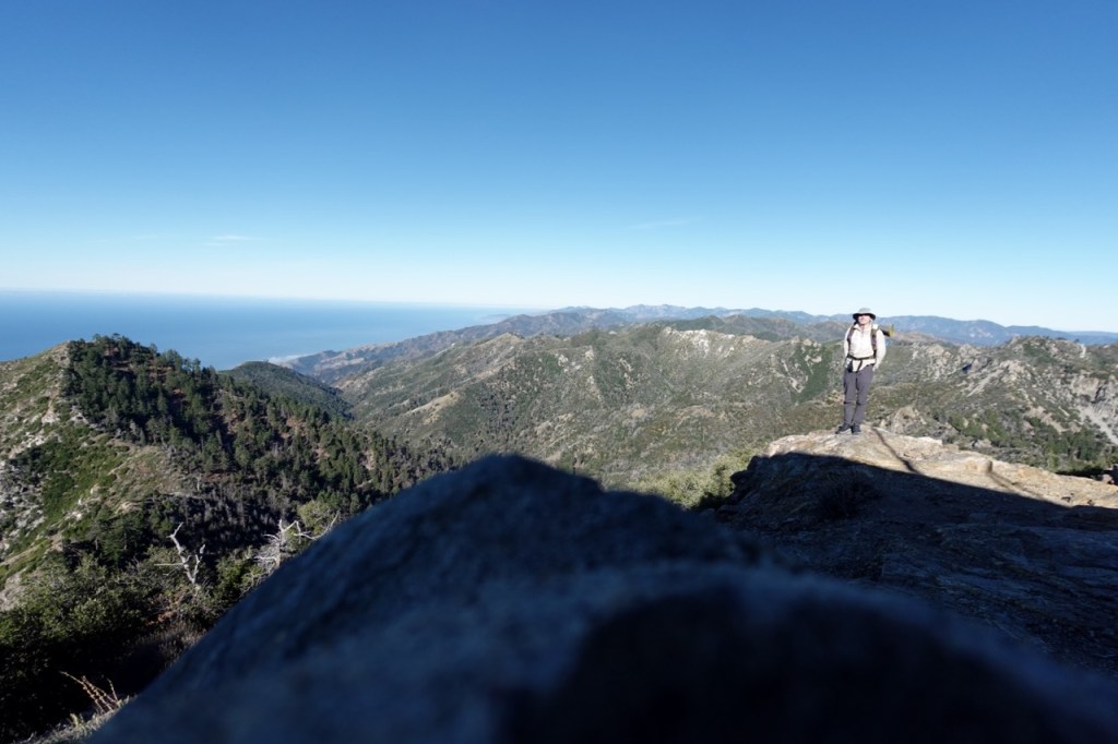
As I approached Cone Peak, I opted to take the north ridge, as I heard the nearby trails were not in great shape. This ended up being a great choice. The views were spectacular, and there was a use trail most of the way.

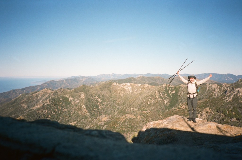
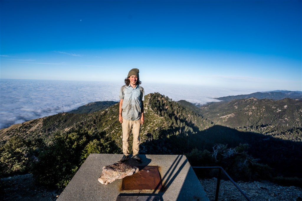
I reached Cone Peak, where I had gotten off the trail in 2020. It felt great to connect my footsteps, and I took a nice long break to take in the view. A pair of hikers was leaving the summit as I arrived, so after 40 minutes or so, I hiked on after them.


I caught the hikers a mile or two before the road, and talked to them briefly. I told them I would be hitching at the road, and might see them there. I didn’t want to be too direct, but I wanted to plant the idea in their head of picking up a hitchhiker, and allow them time to discuss it with eachother.
When I got to Nacimiento Ferguson, traffic was much lighter than expected. The two hikers arrived to their car, and I asked them for a ride directly. Luckily, they said yes. They took me all the way to Salinas. I treated the two of them to some In n Out, and then took 2 hourish buses back to Watsonville and then Santa Cruz. All for $2. I walked back up the hill to Matt and Lexi’s house, and I was back in time for a delicious dinner from chef Matt. What a way to celebrate finishing the Condor Trail. Los Angeles County to Big Sur.
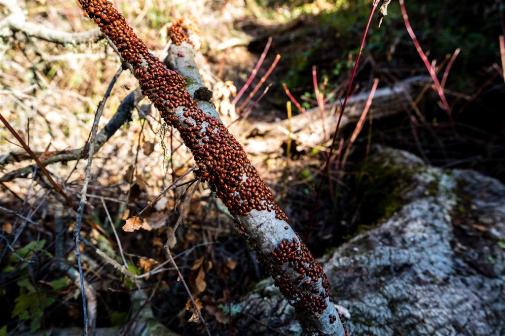
Overall there were some rough parts, but I really enjoyed the Condor trail. It gave me solitude and challenged me in ways that the triple crown trails did not. Los Padres is a beautiful and under appreciated part of California. Even with all the talk about over crowding at our national parks, there are still many beautiful places where you will find no one. Ticks, bushwhacking and poison oak are a small price to pay for solitude.
Film from the last section: