Over the last 10 years, I have developed an obsession with Death Valley National Park. I have now gone on 30 or so backpacking trips there, and explored many corners of the park. The whole time, I have always thought about the idea of a backpacking loop around the park in the back of my head.
My friend John hiked his own version of such a loop around the park in 2022. This was a very impressive effort with very long food and water carries. I do not know if I will ever have the time or desire to do a full loop all at once, but over the years I have section hiked my owne version of a loop. My route shares some segments with John’s route. This is inevitable as we both gave eachother beta, and hiked a section together. Surprisingly though, most of the two routes follow different paths, a testament to the many navigational choices one can make when circling the park.
This is not a guide explaining water sources, resupply etc. Even the GPS line is not 100% accurate. Some canyons have dryfalls that require tricky bypasses, which may not be shown on the map. I may write a guide someday, but for now please take all information here with caution.
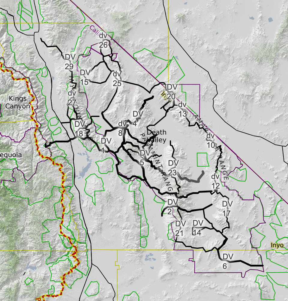
Over the years, as I have tried different routes and ranges, the loop has evolved in my head. Currently the loop stands at 334 miles.
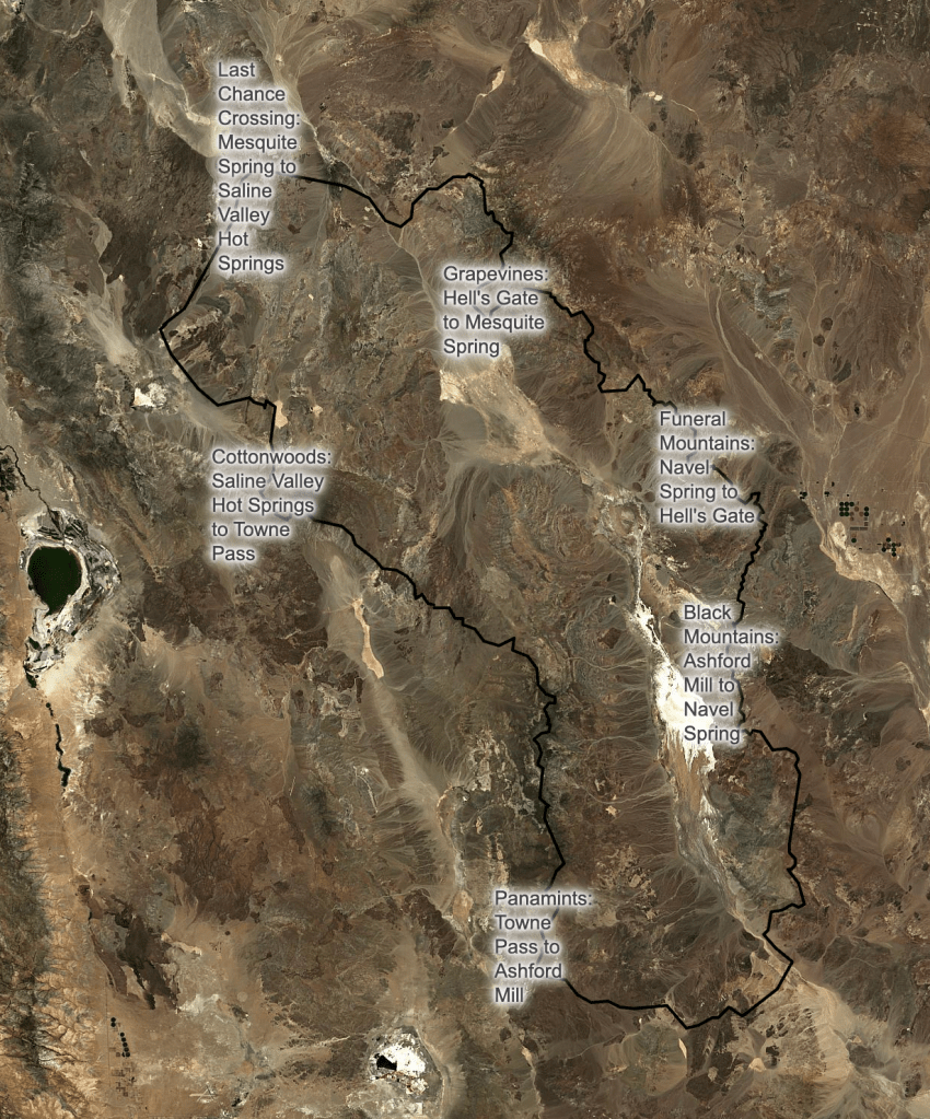
My loop can be broken into six sections:
- Cottonwoods: Saline Valley Hot Springs to Towne Pass (54.4 mi.)
- Panamints: Towne Pass to Ashford Mill (91.2 mi.)
- Blacks: Ashford Mill to Navel Spring (49.7 mi.)
- Funerals: Navel Spring to Hell’s Gate (51.5 mi.)
- Grapevines: Hell’s Gate to Mesquite Spring (58.0 mi.)
- Last Chance Crossing: Mesquite Spring to Saline Valley Hot Springs (33.6 mi.)
