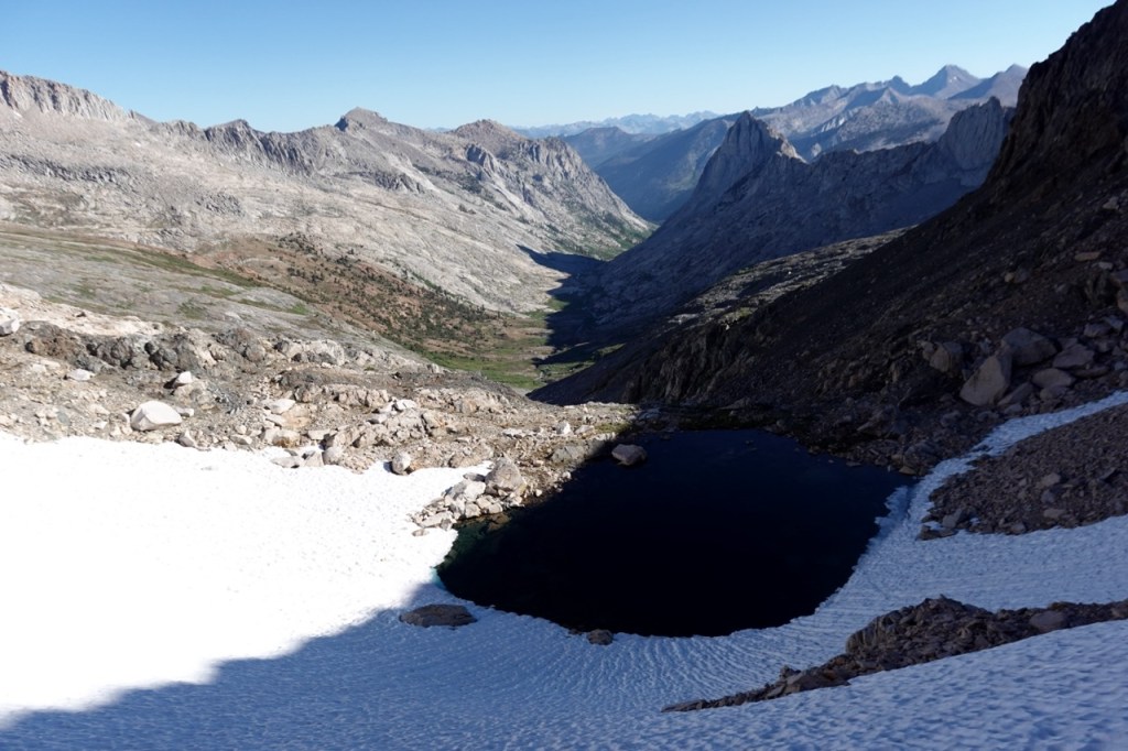
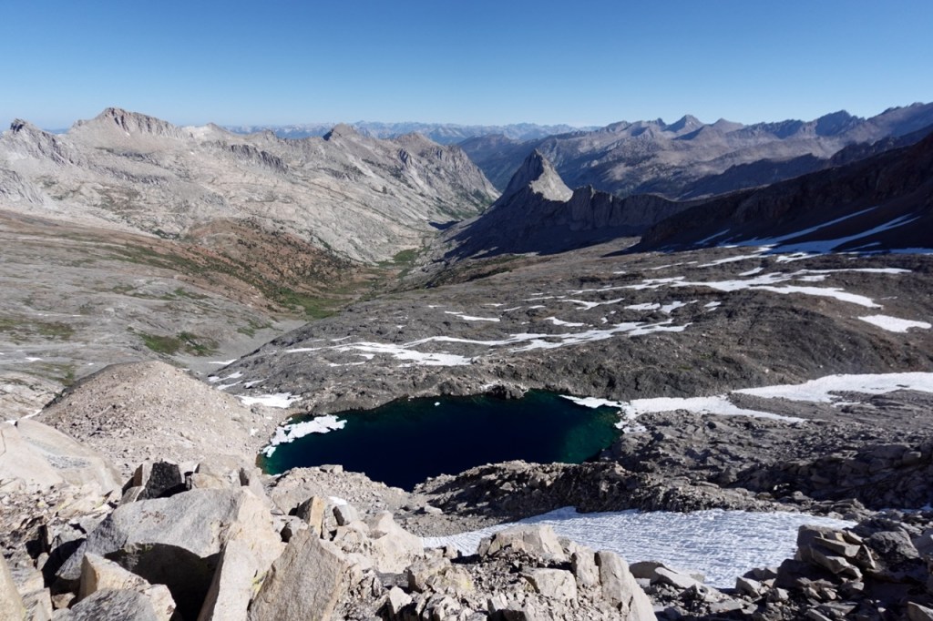
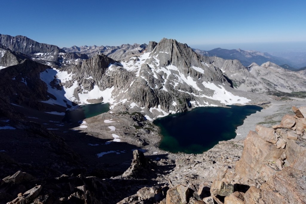
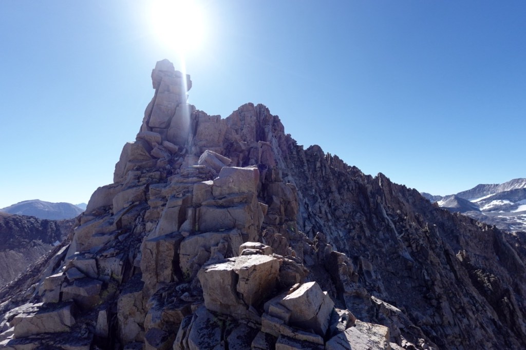
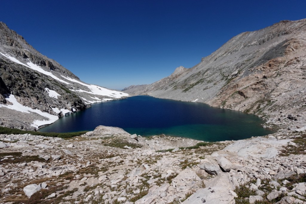
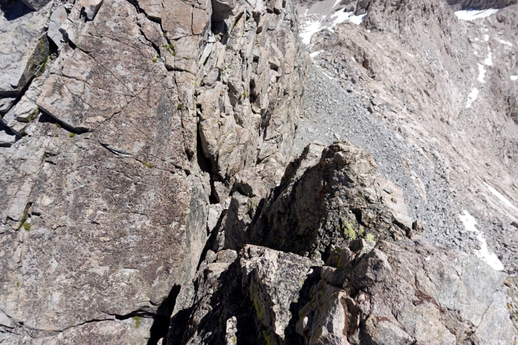
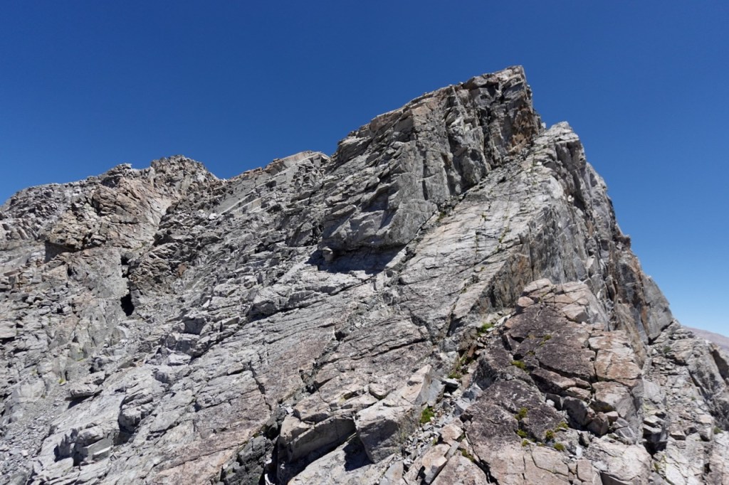
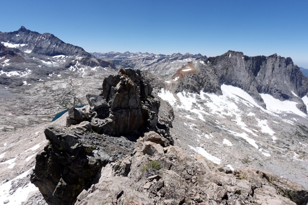
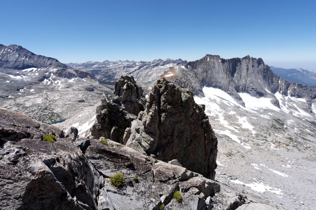
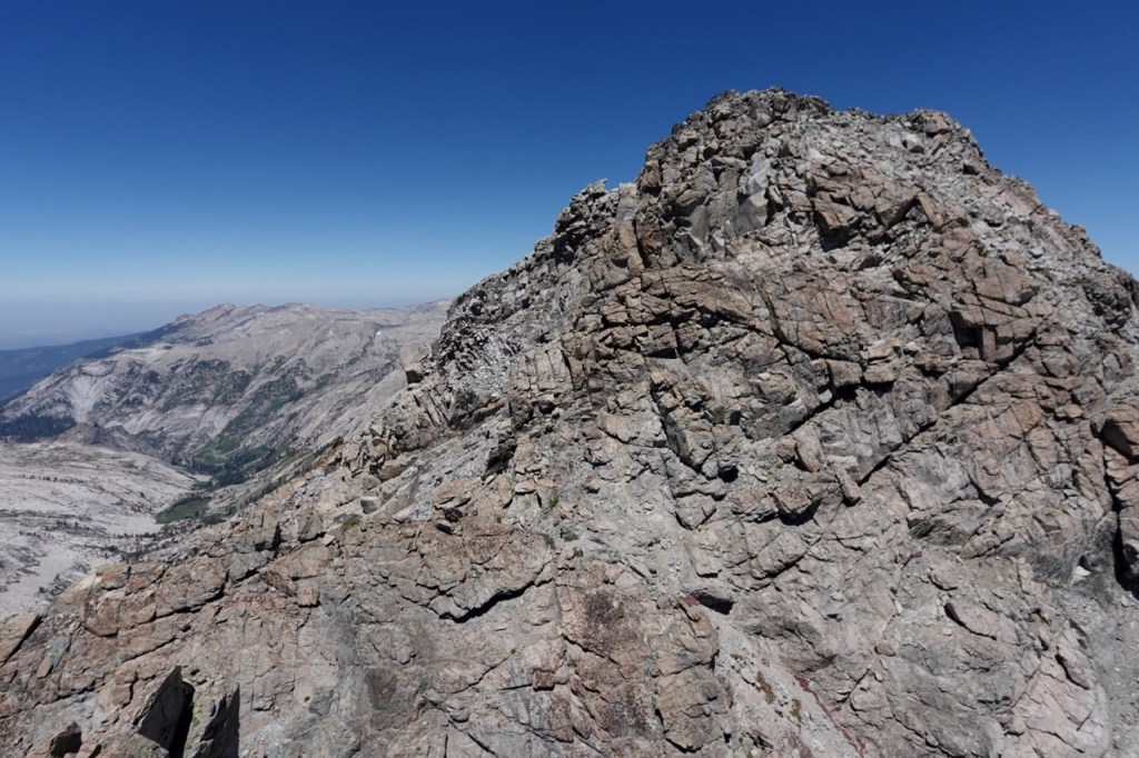
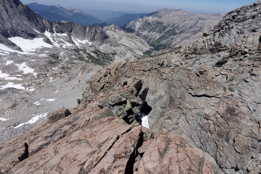
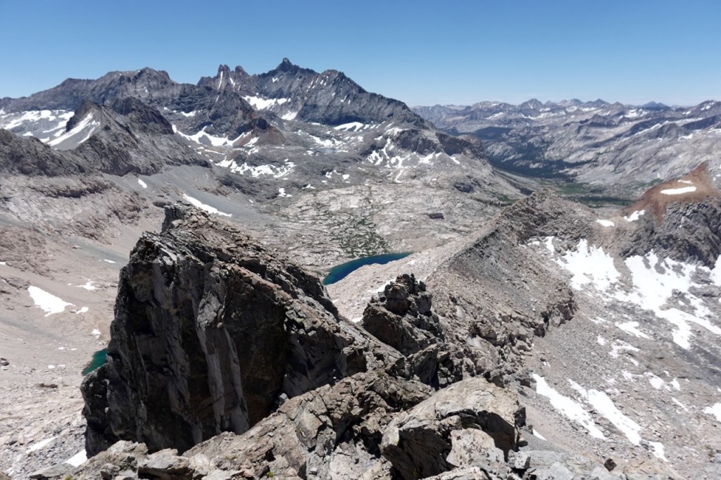
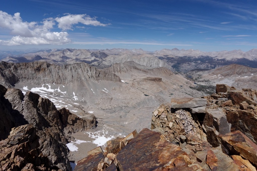
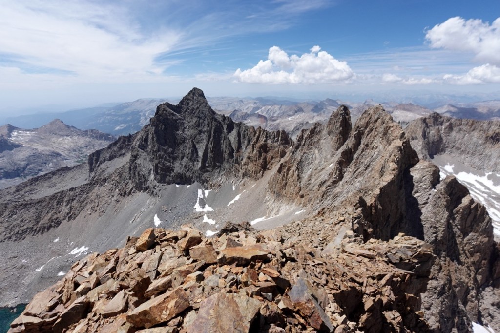
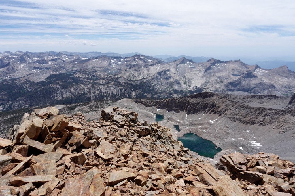
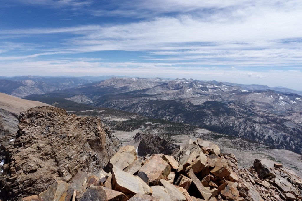
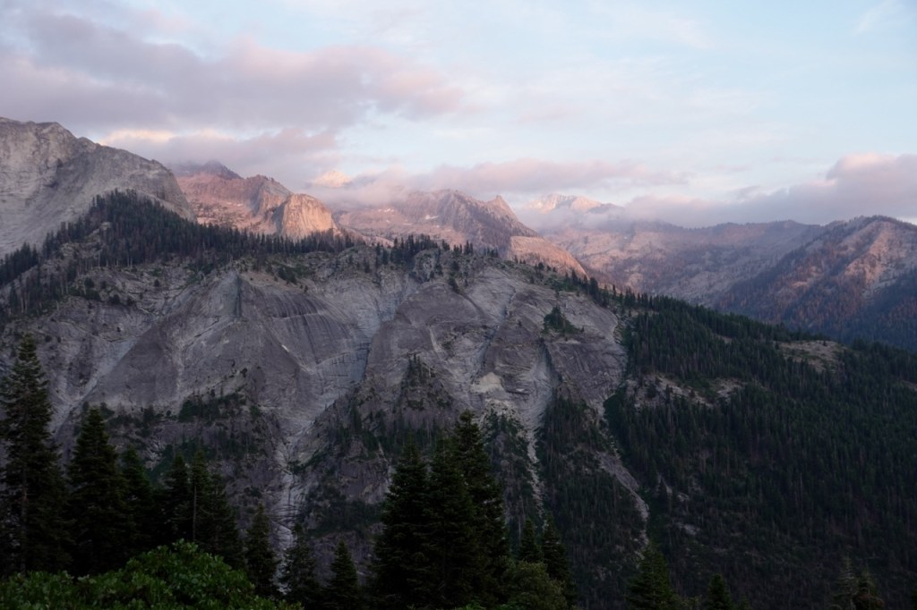
I drove slowly across the hot Central Valley. With no AC, I tried to spread my stops out strategically to cool off. Walmart. Grocery Outlet. Dinner at In N Out. As I climbed the Sierra foothills, the shadows grew longer, and dusk mercifully arrived at last. I found a camp spot just outside the park, and fell asleep.
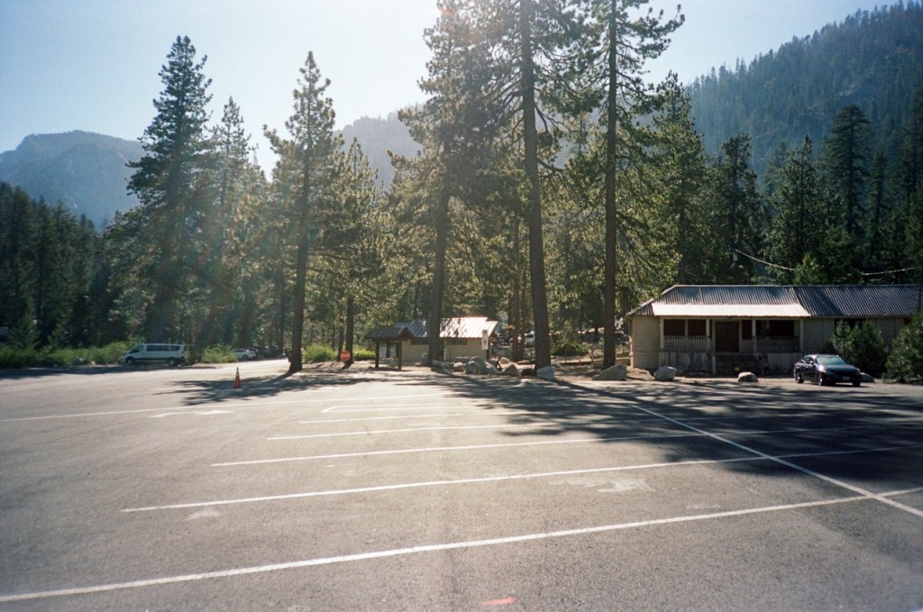
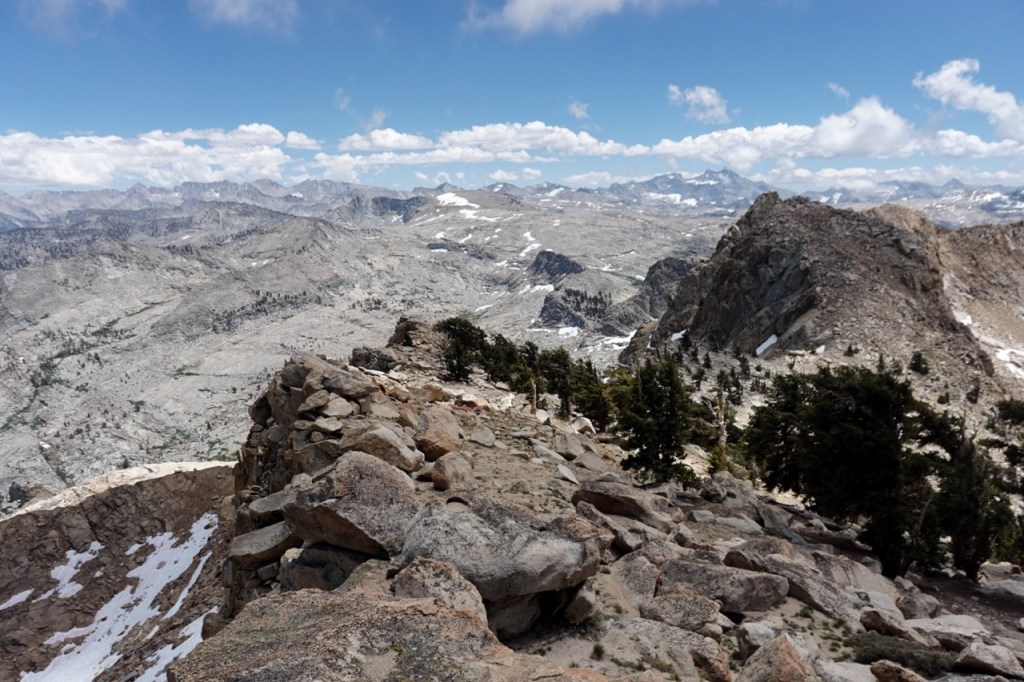
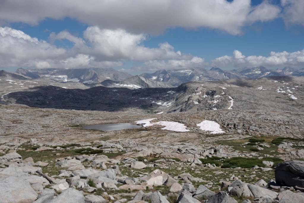
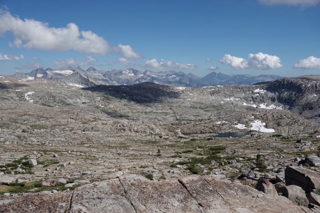
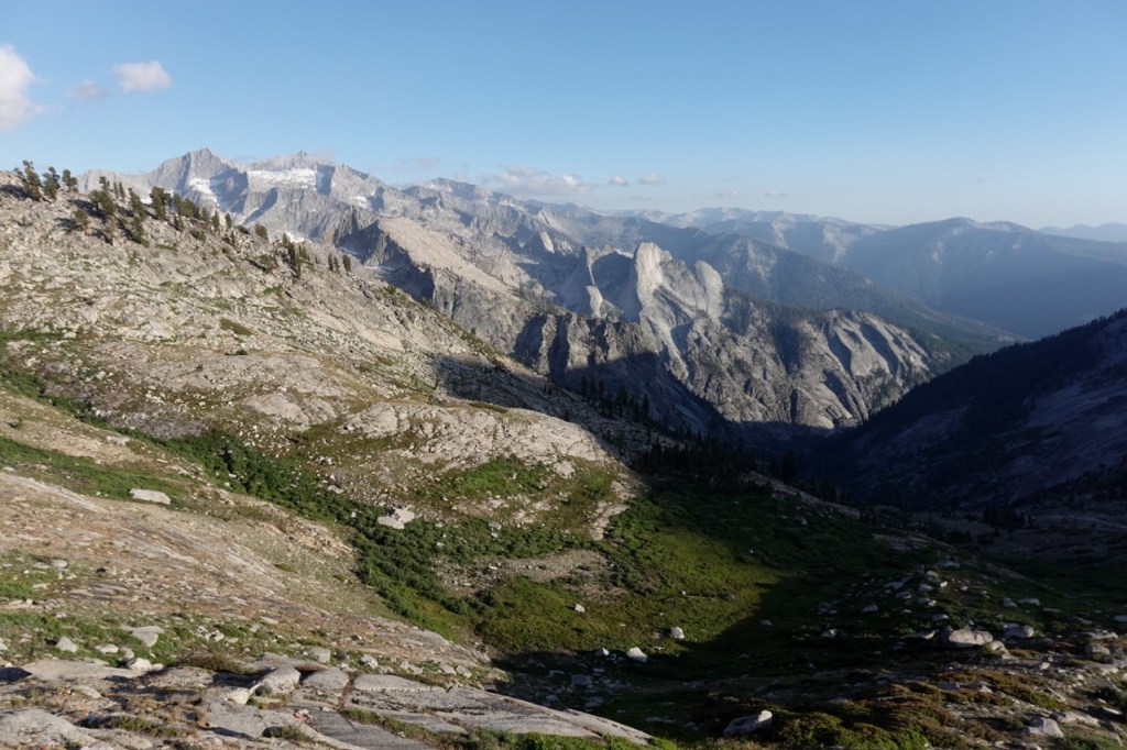
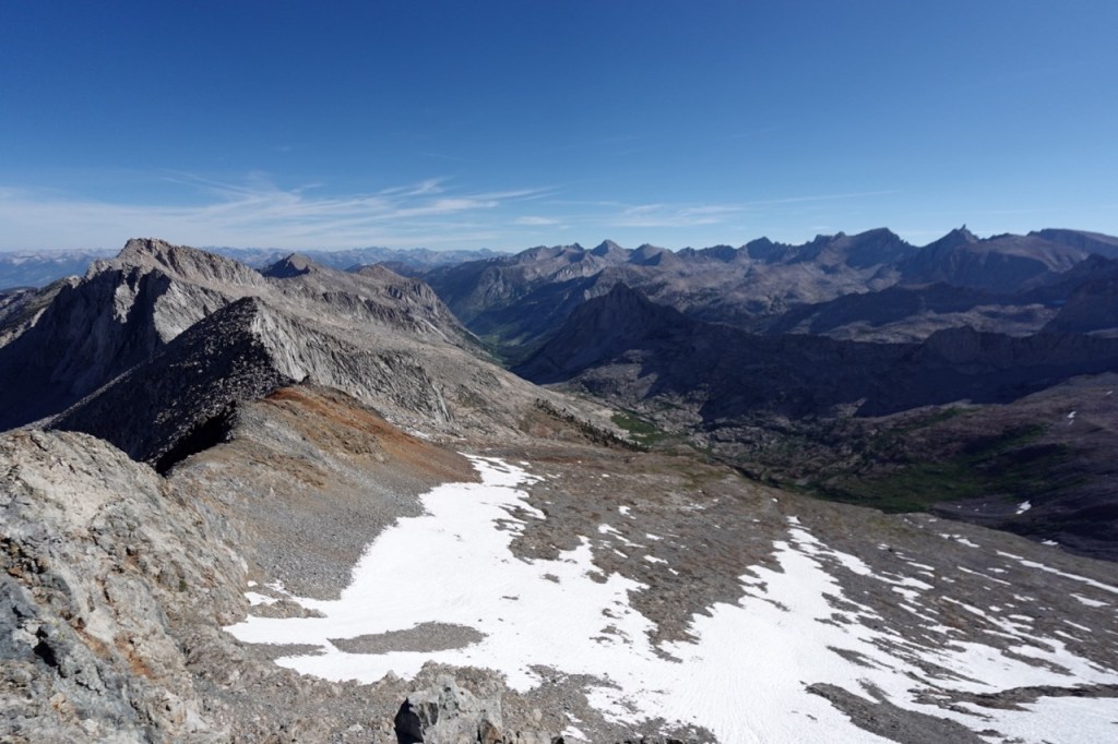
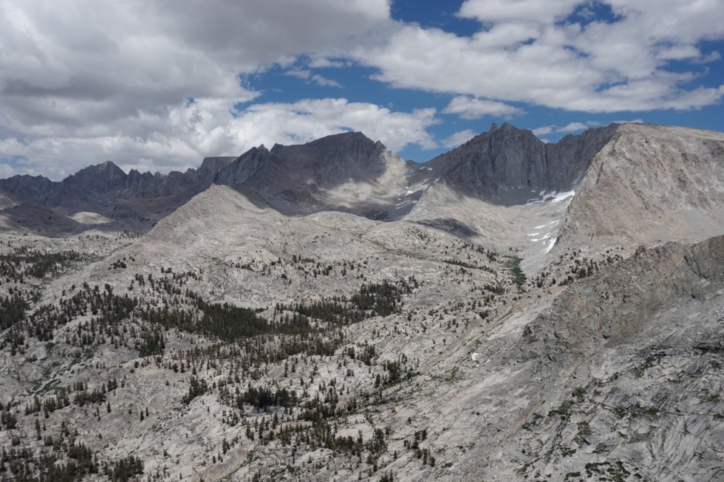
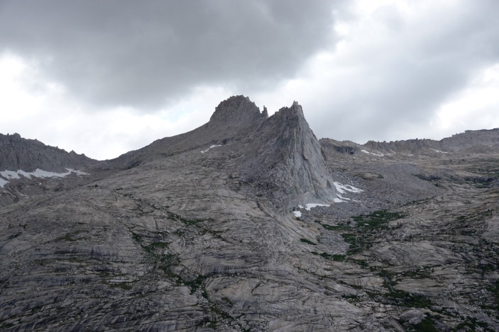
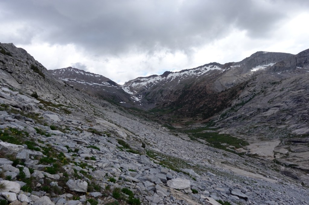
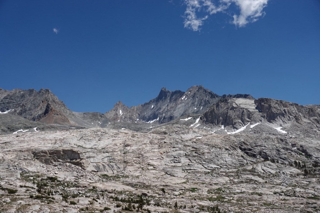
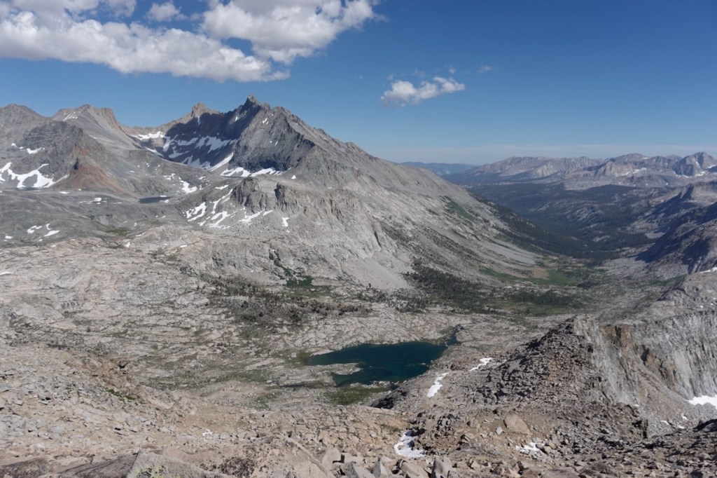
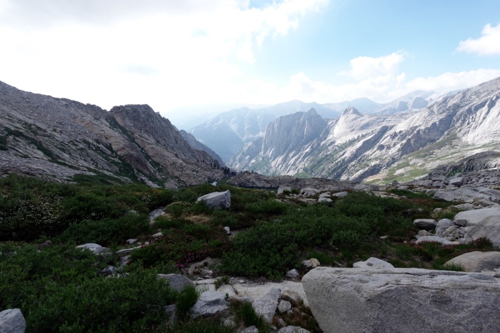
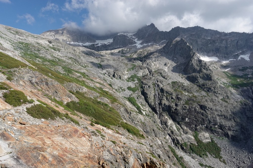
The next morning, I arrived at the ranger station right after they opened. I picked up my permit, loaded my pack with six days of food, and headed up into the backcountry. I walked slowly, loaded down by all the food, and the time in civilization. I saw just two people on the hike up, the only people I would see for the next few days. I climbed Mt. Silliman, and then threaded my way along the beautiful Tablelands. The undulating series of ridges unfurled for miles ahead of me, and looked to provide easy travel. The next few hours were just delightful, gentle ups and downs, and panoramic views into the Kings and Kaweah Basins.
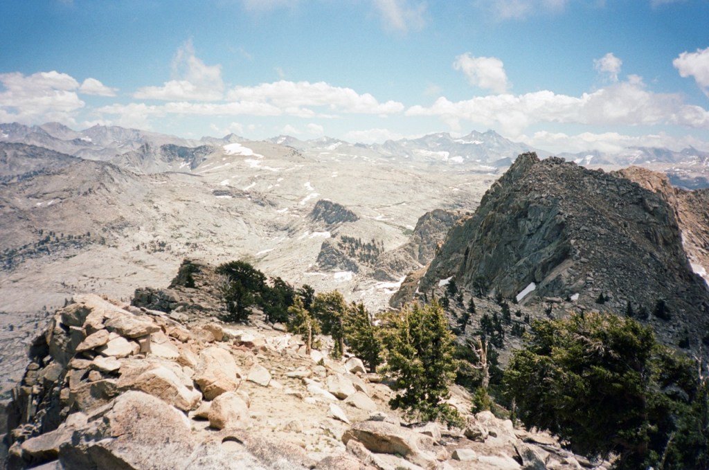
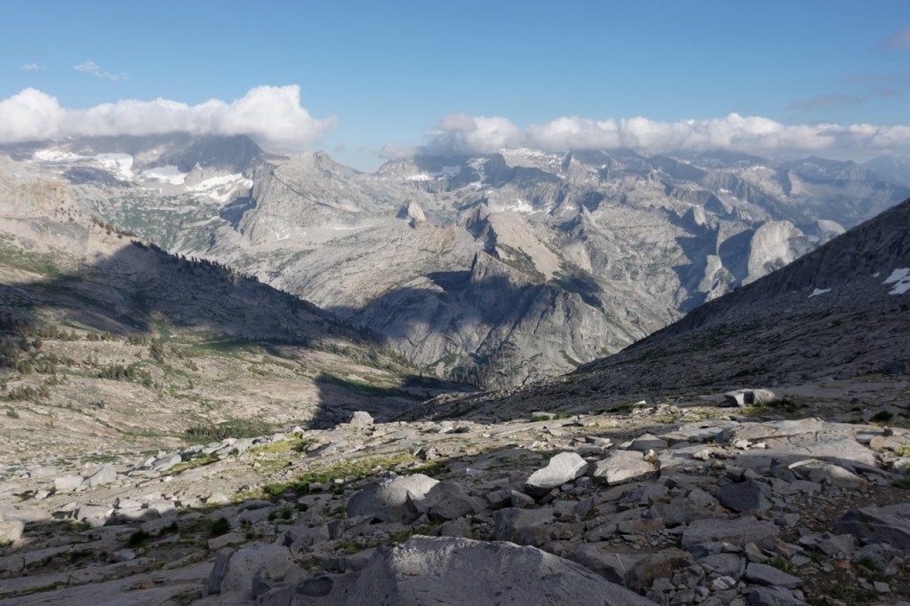
Eventually, I descended down to the Elizabeth Pass trail, and scampered up Elizabeth Pass right before sunset. I found a camp spot just down the other side.
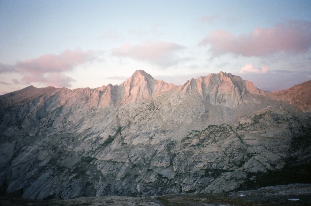
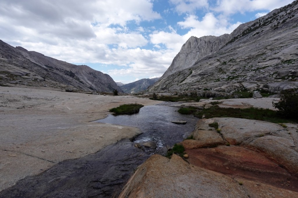
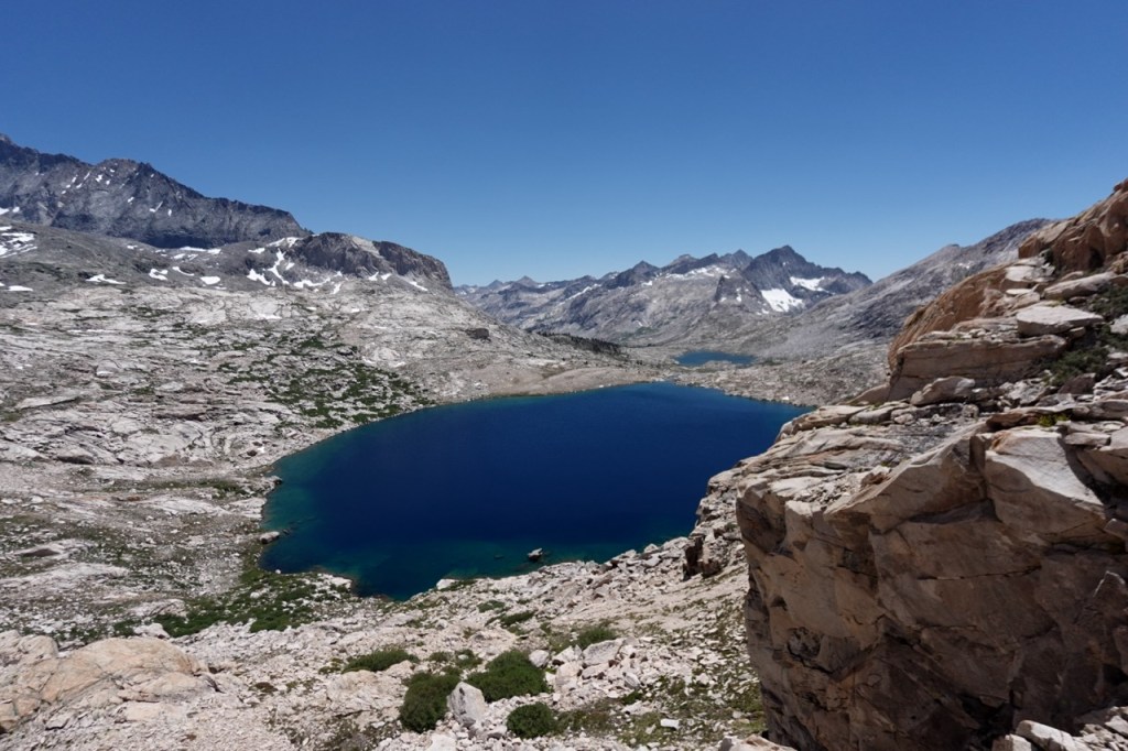
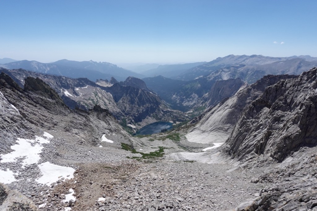
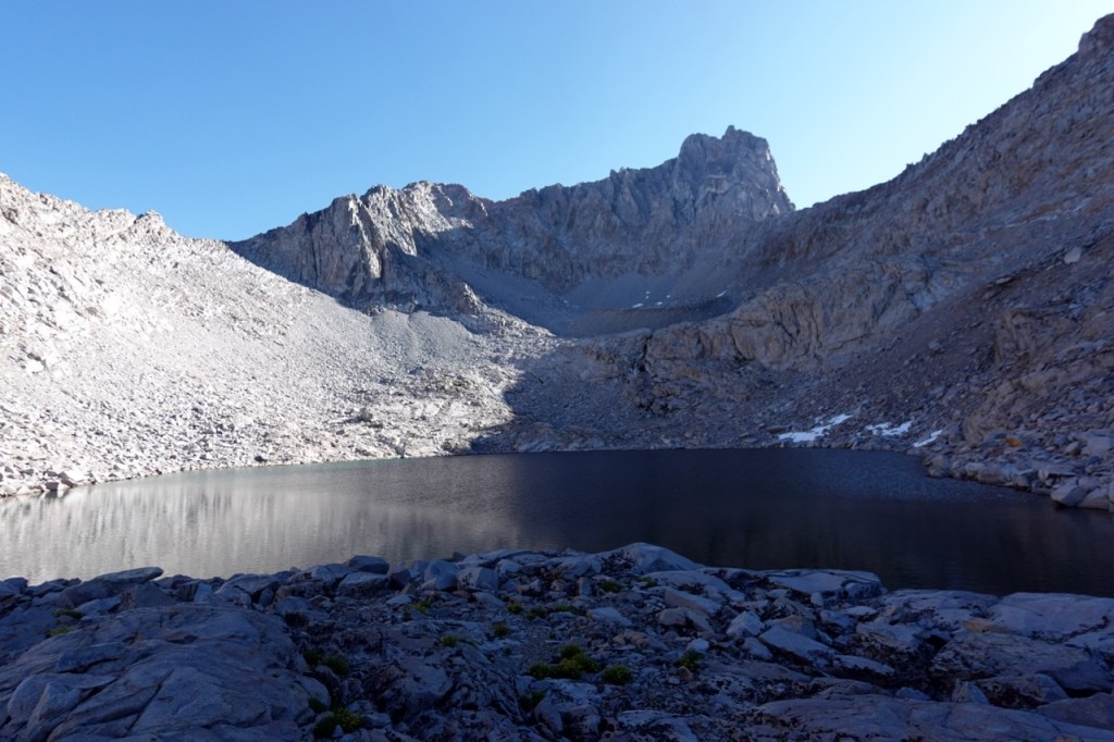
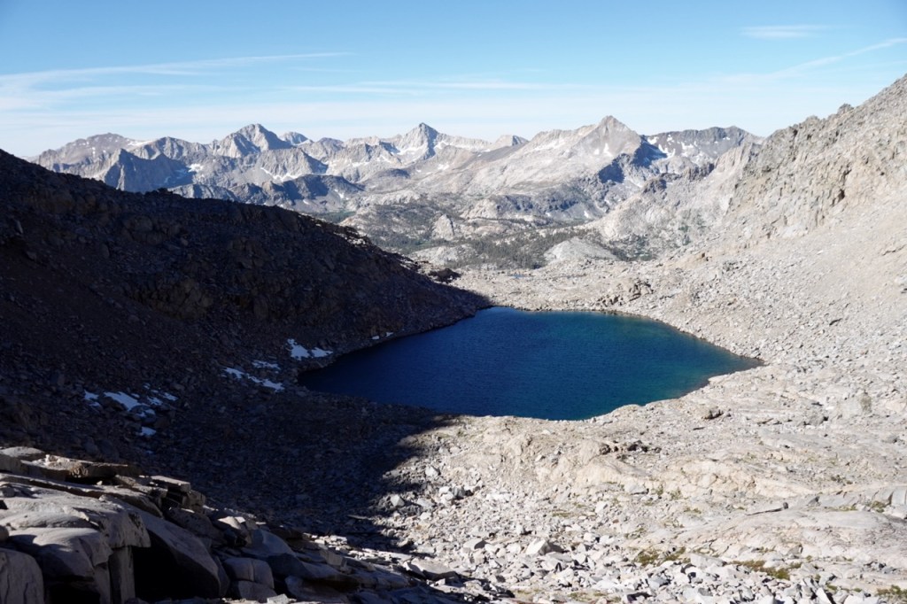
The next morning, I climbed up Copper Mine Peak. Not an SPS peak, but there were great views nonetheless. From there, I made my way down to Cloud Canyon. I made camp quite close to where Matt and I had gotten turned around in a thunderstorm four years prior, and set out to hike two more peaks.
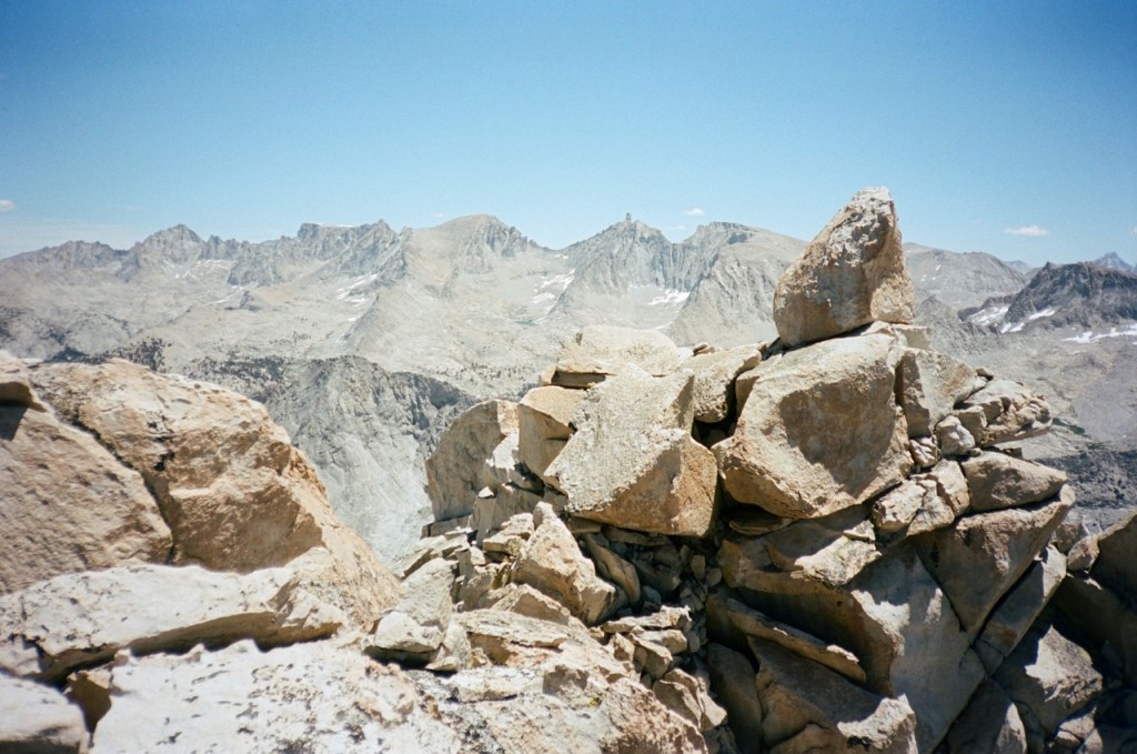
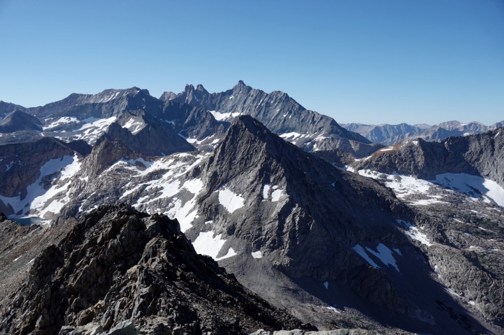
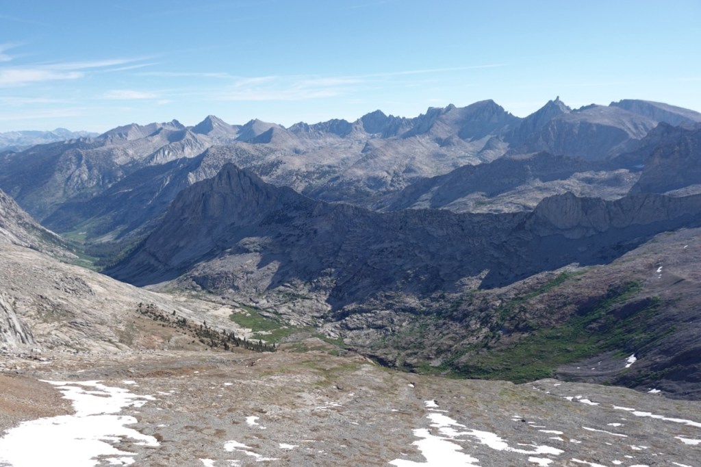
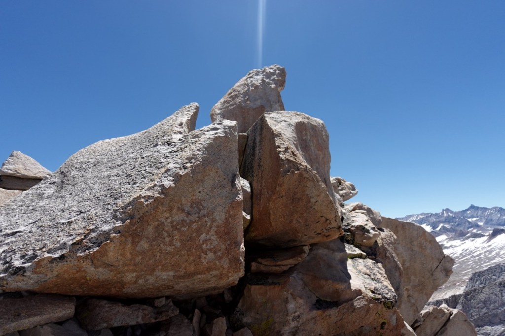
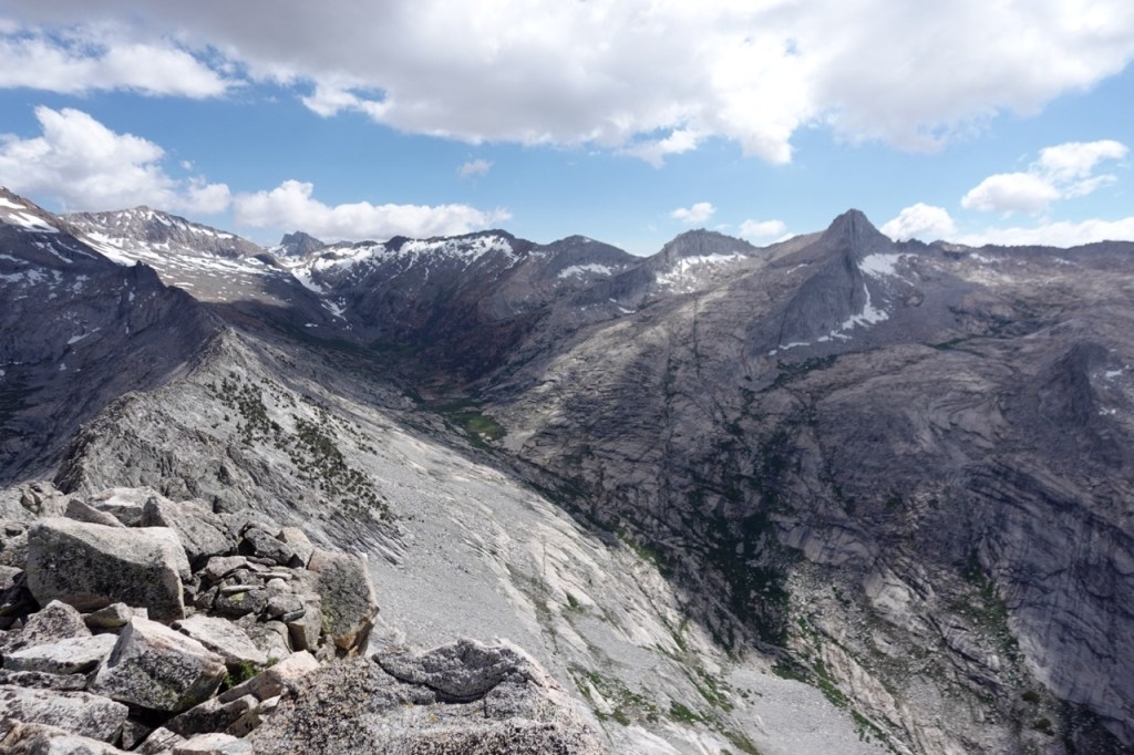
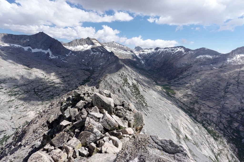
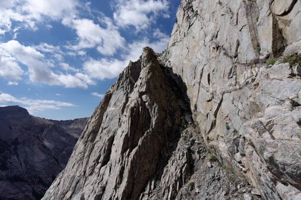
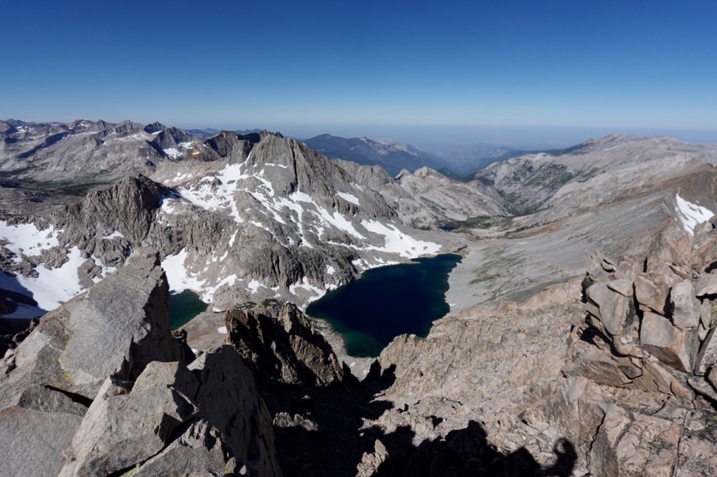
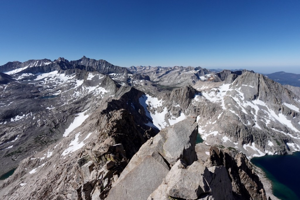
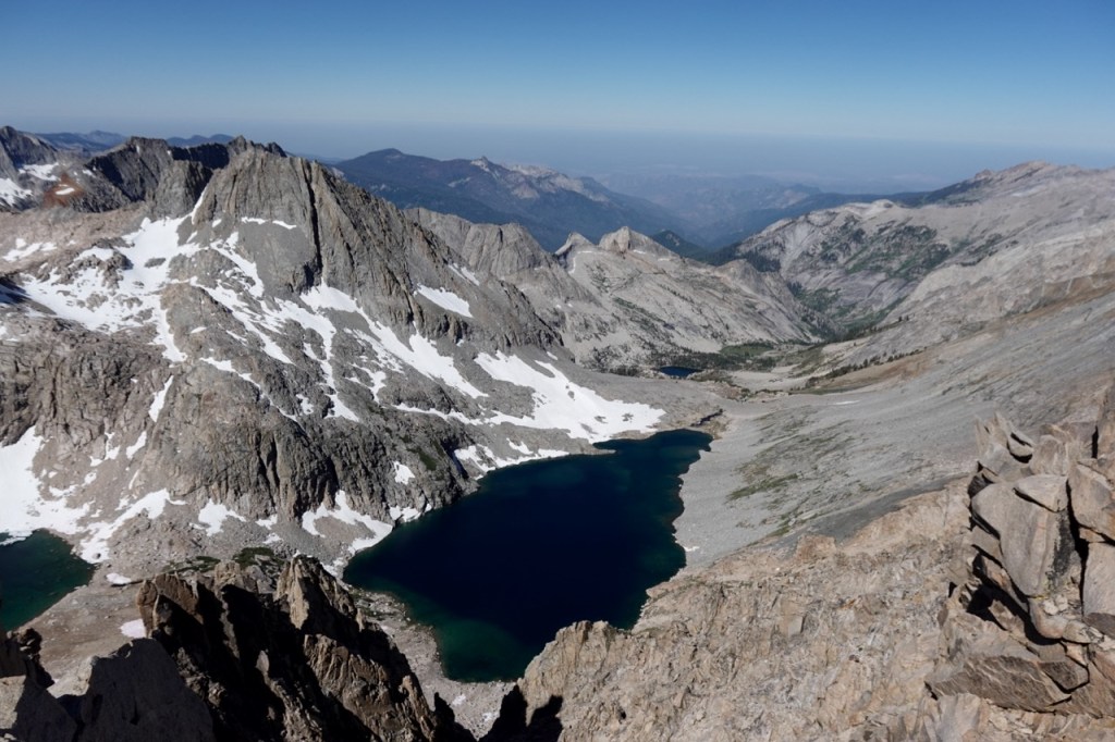
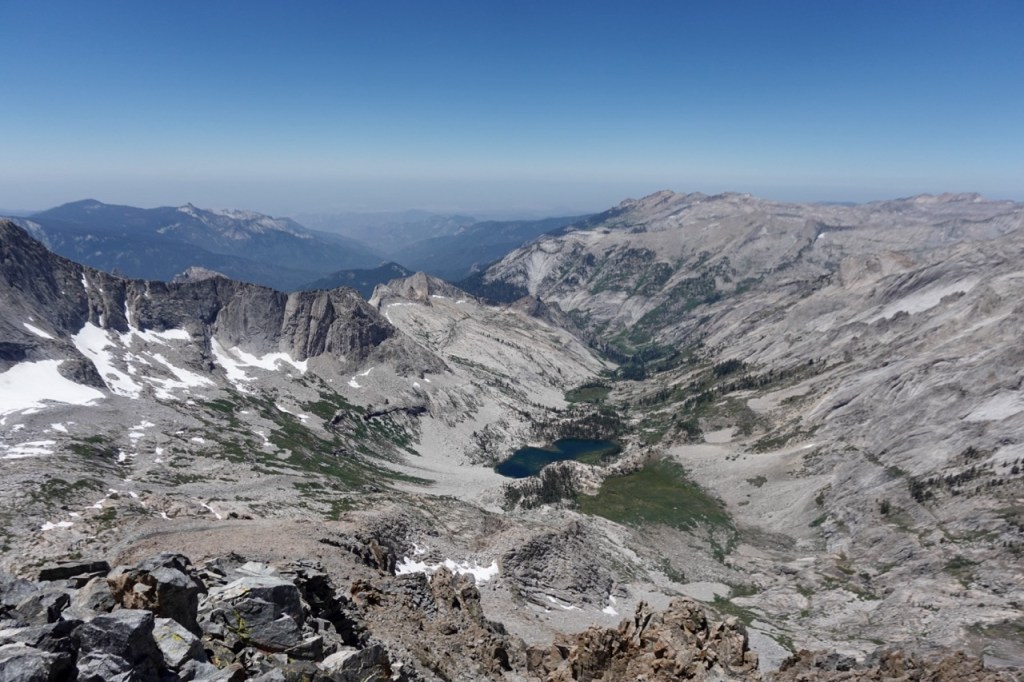
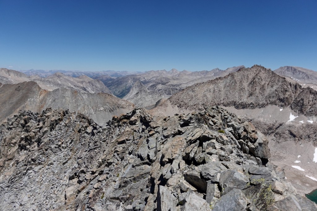
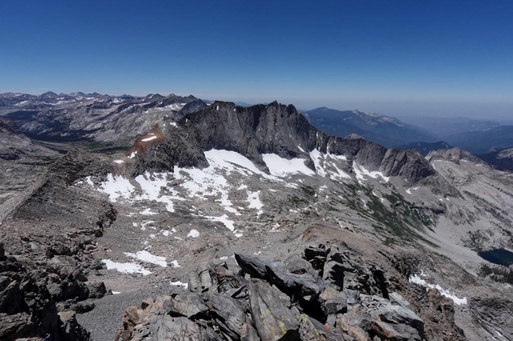
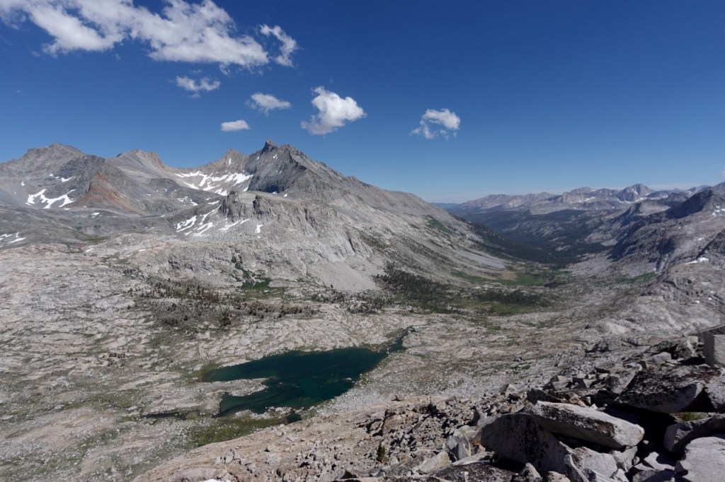
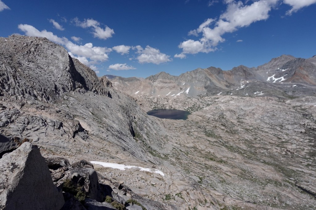
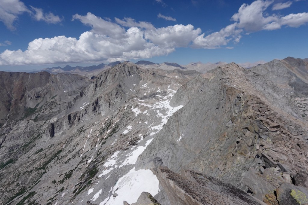
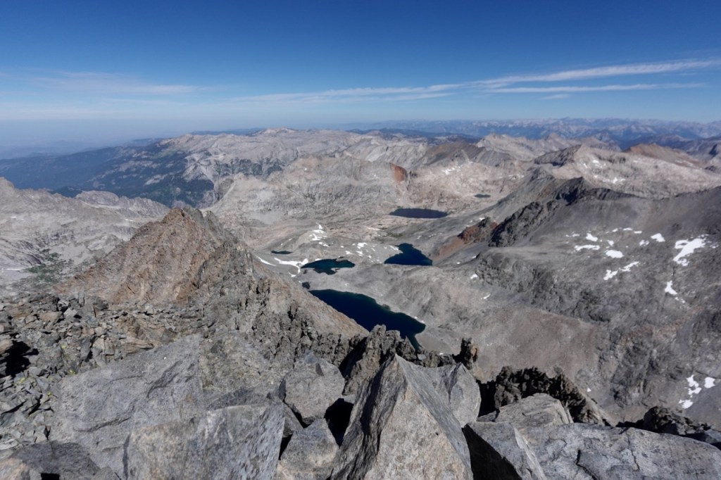
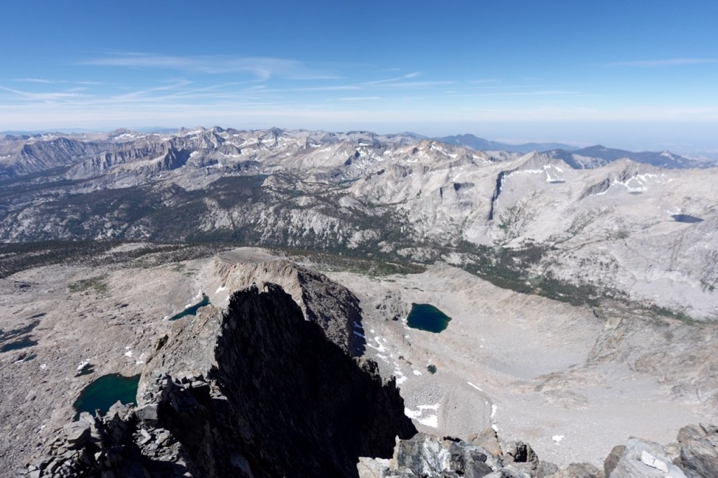
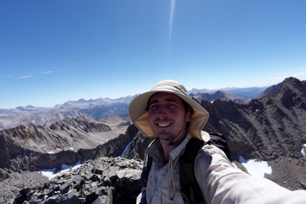
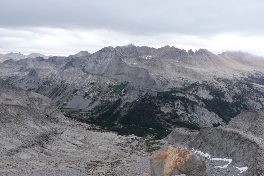
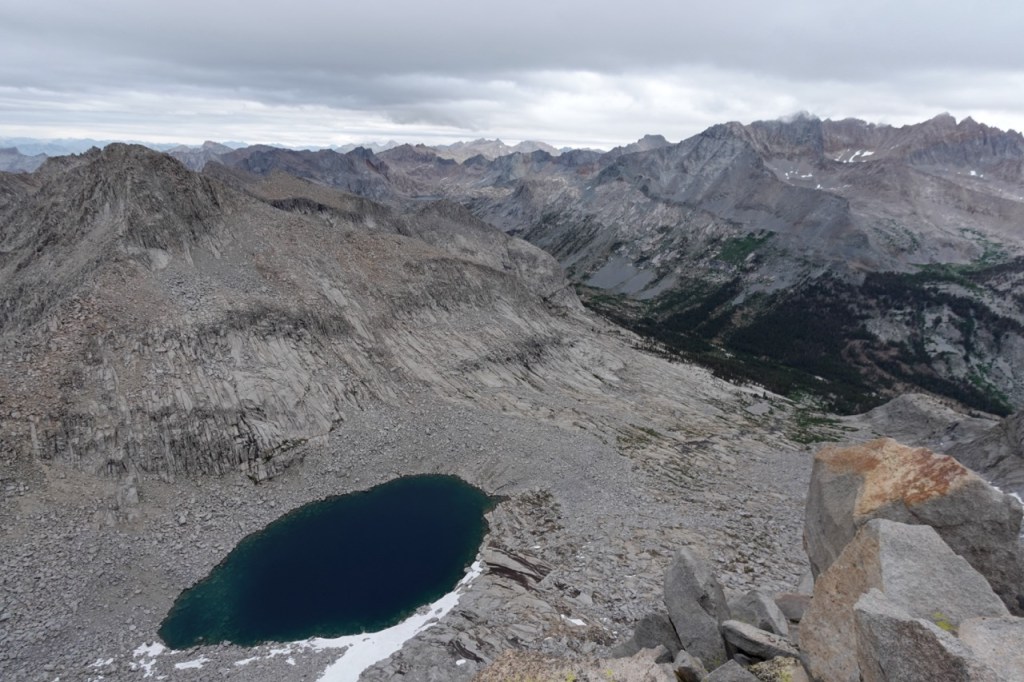
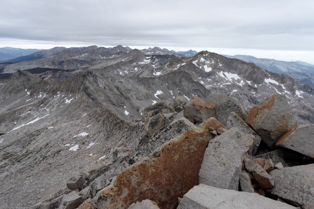
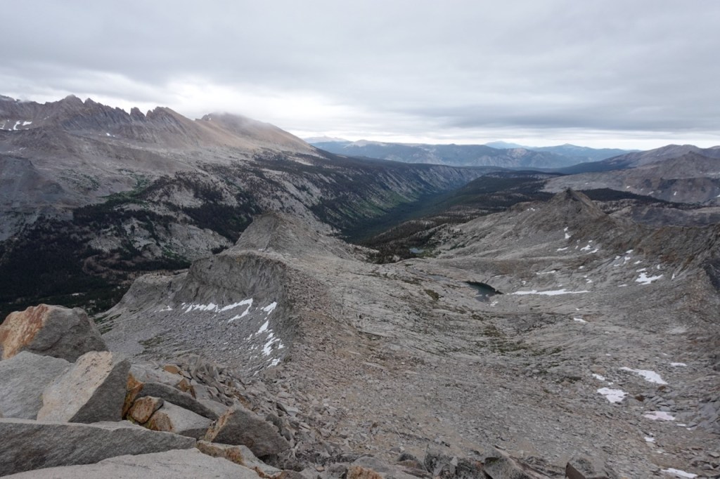
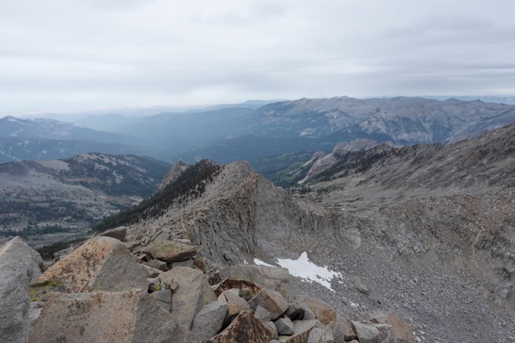
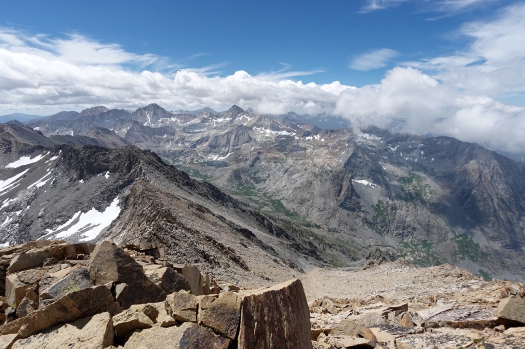
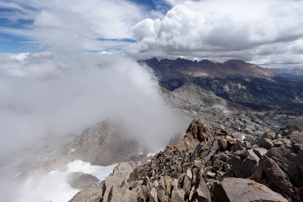
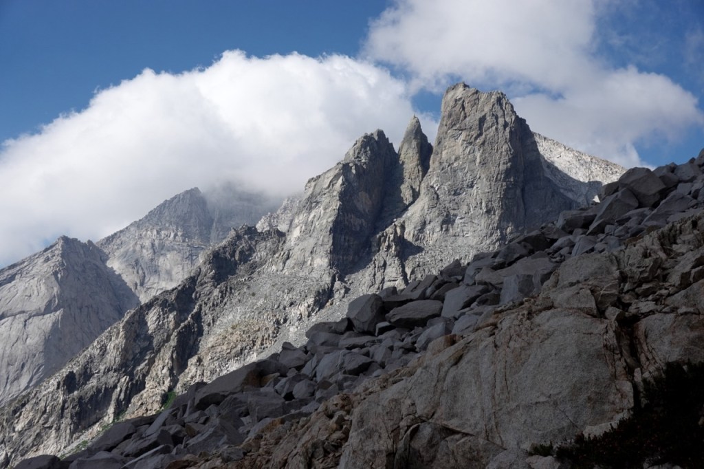
Glacier Ridge went quickly as I bounded up the talus fields. The top was perhaps 15 feet of 4th class — a boulder problem up the exposed summit block. I hastily reversed the moves and then ate lunch just below the summit block. From there, I descended all the way to Cloud Canyon, and began heading up the Whaleback. I ascended class 2-3 terrain up to the long south ridge. From there, I did not have the correct beta. I tried to stay on the ridge, but as the ridge got sketchier, I bailed off the other side. After descending a few hundred feet, I got back on route. The summit provided beautiful views in all directions. What a stunning and remote corner of the range. People in the summit register all raved about the blowhole route, so I decided to try it out.
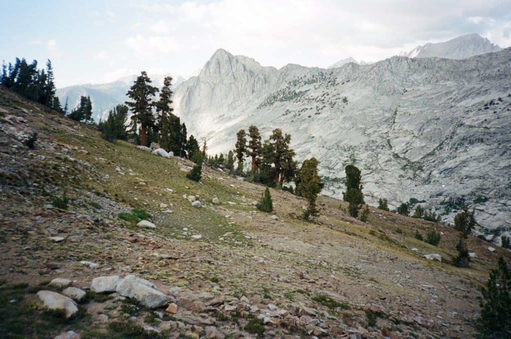
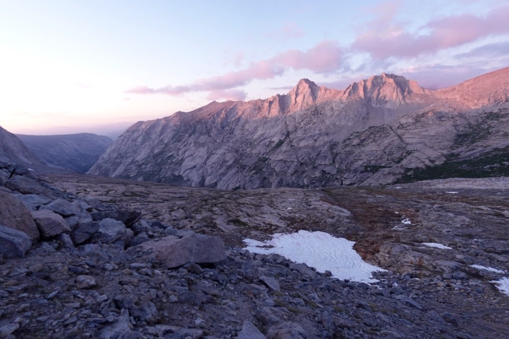
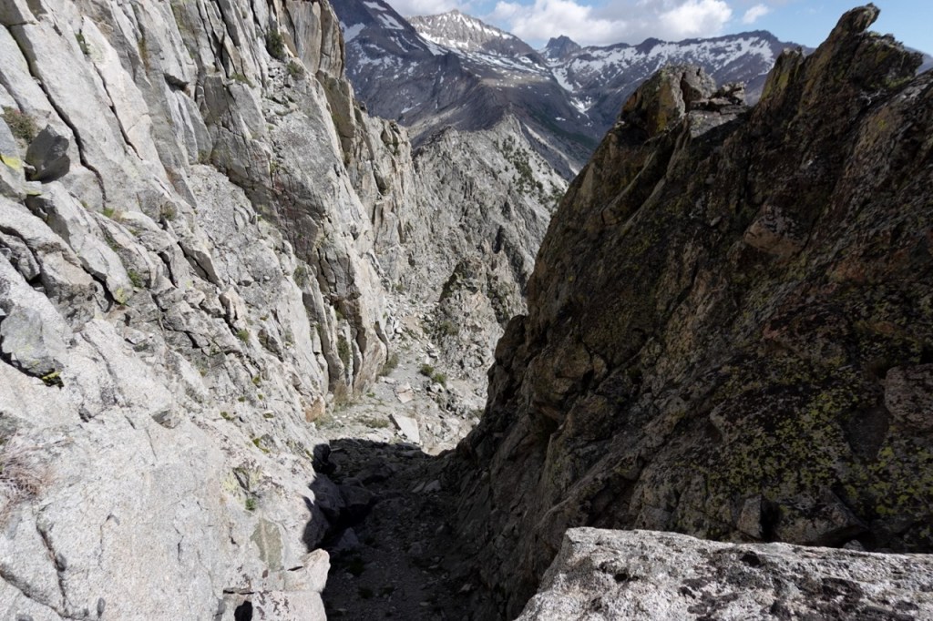
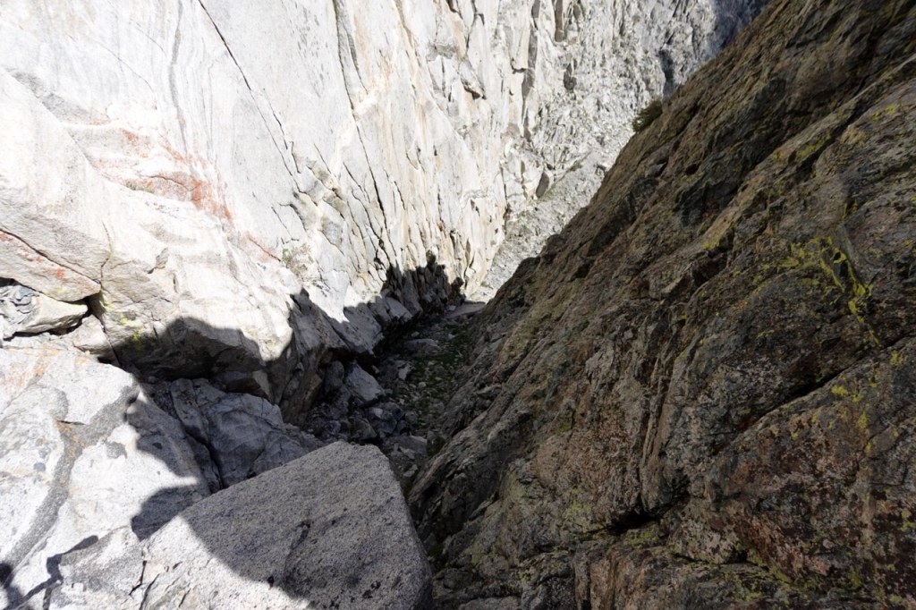
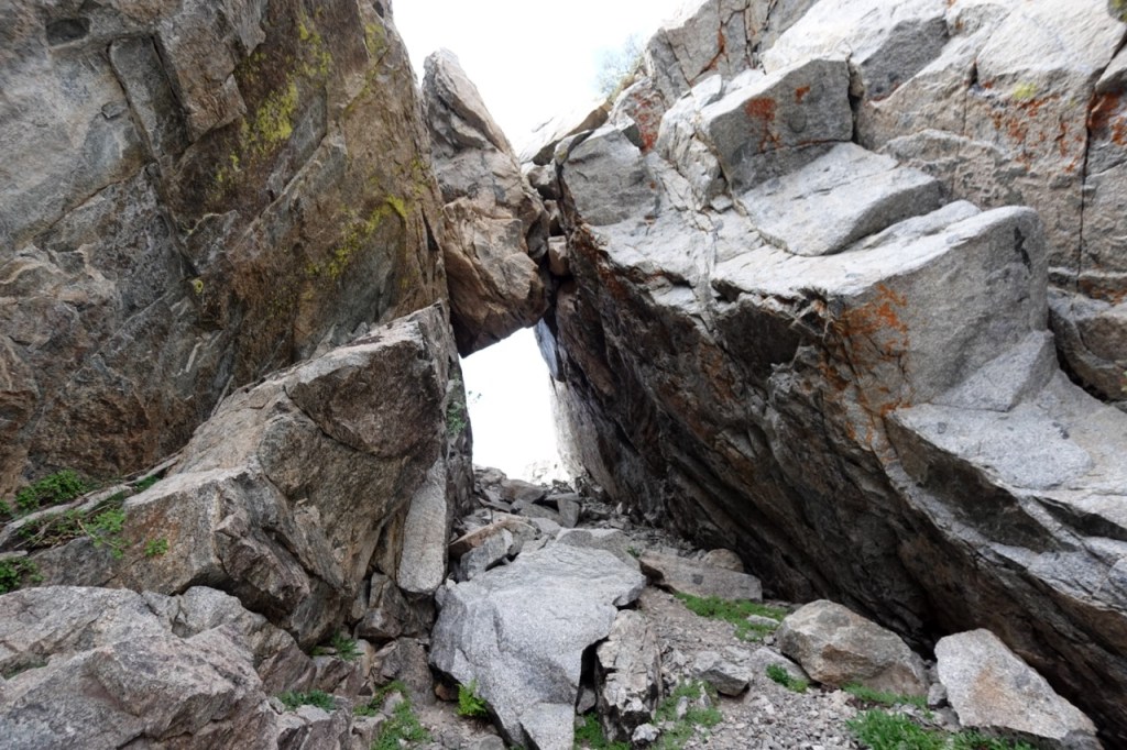
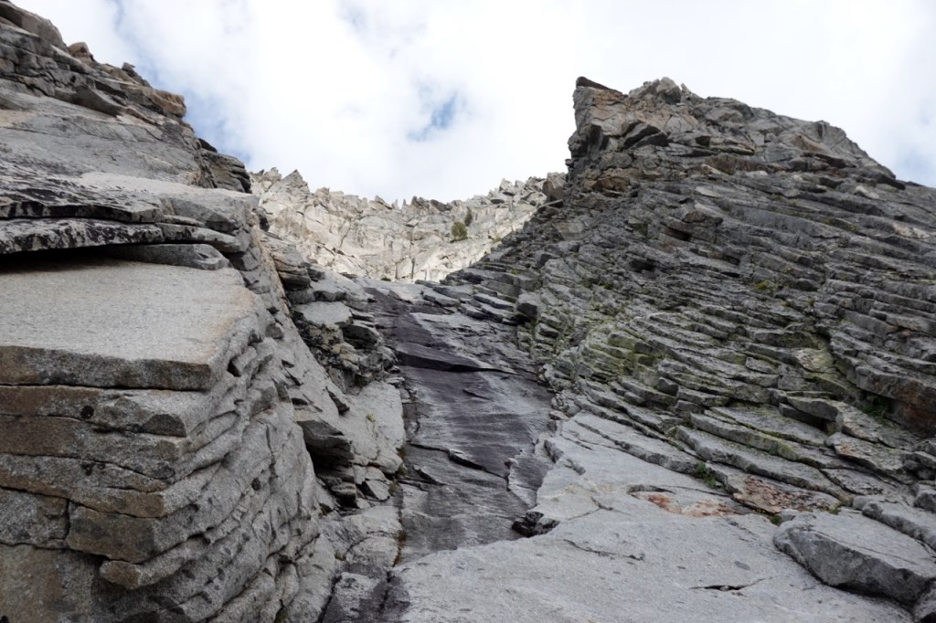
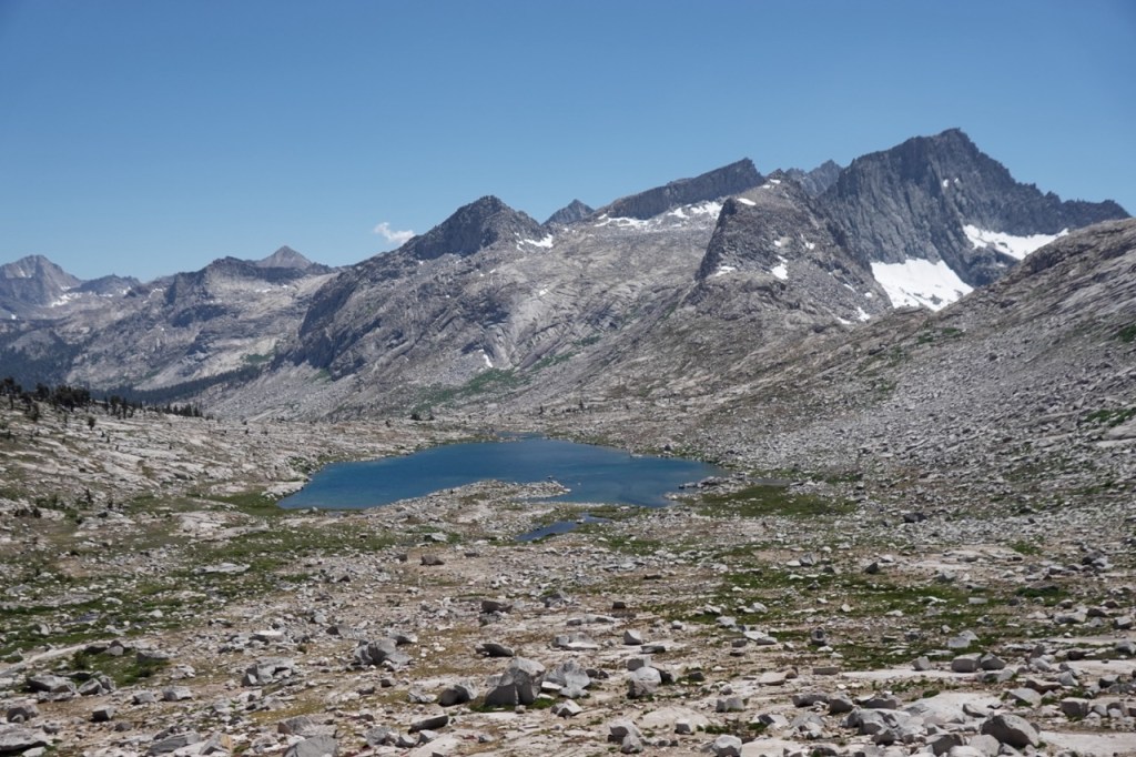
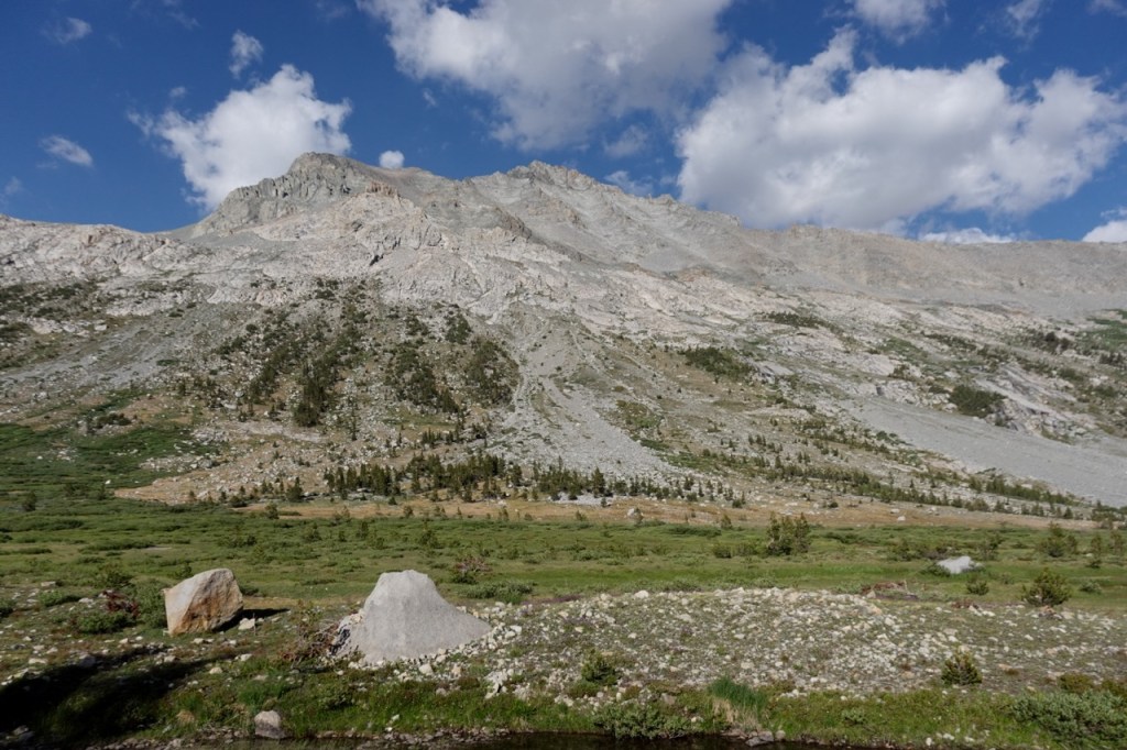
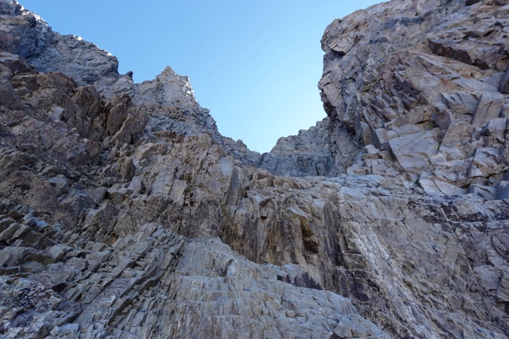
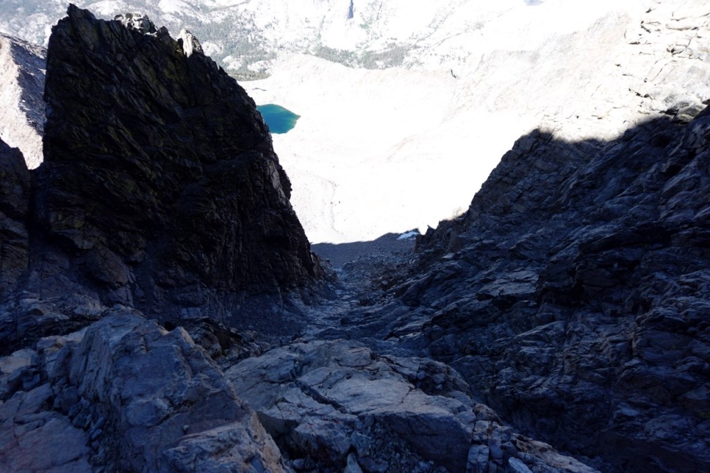
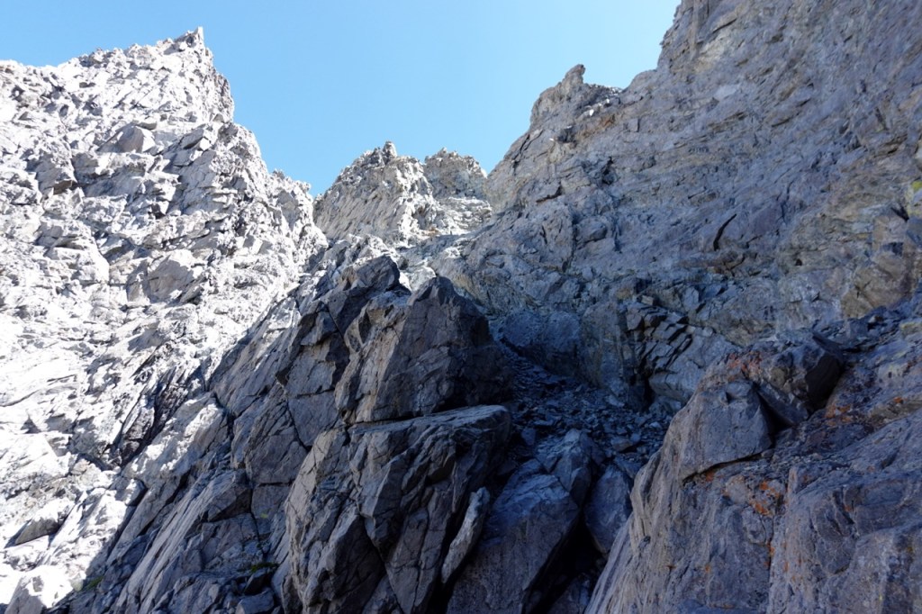
The route follows a series of improbable ledges, goes through some holes in the rock, and then descends steeply back to Cloud Canyon. I must have gotten off route somewhere though, as in the chute, I found 30 feet of steep 4/5 down climbing. Seeing no other way around, I gritted my teeth and headed down the chute. Back on solid ground, I contoured up the canyon, and climbed the last 800 feet or so back to my camp. I debated pushing on to the base of Triple Divide, but I knew I had a lot more peaks to go and decided to save my energy. The sunset over the remote Cloud Canyon was beautiful.
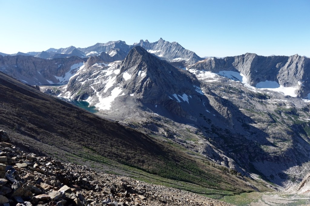
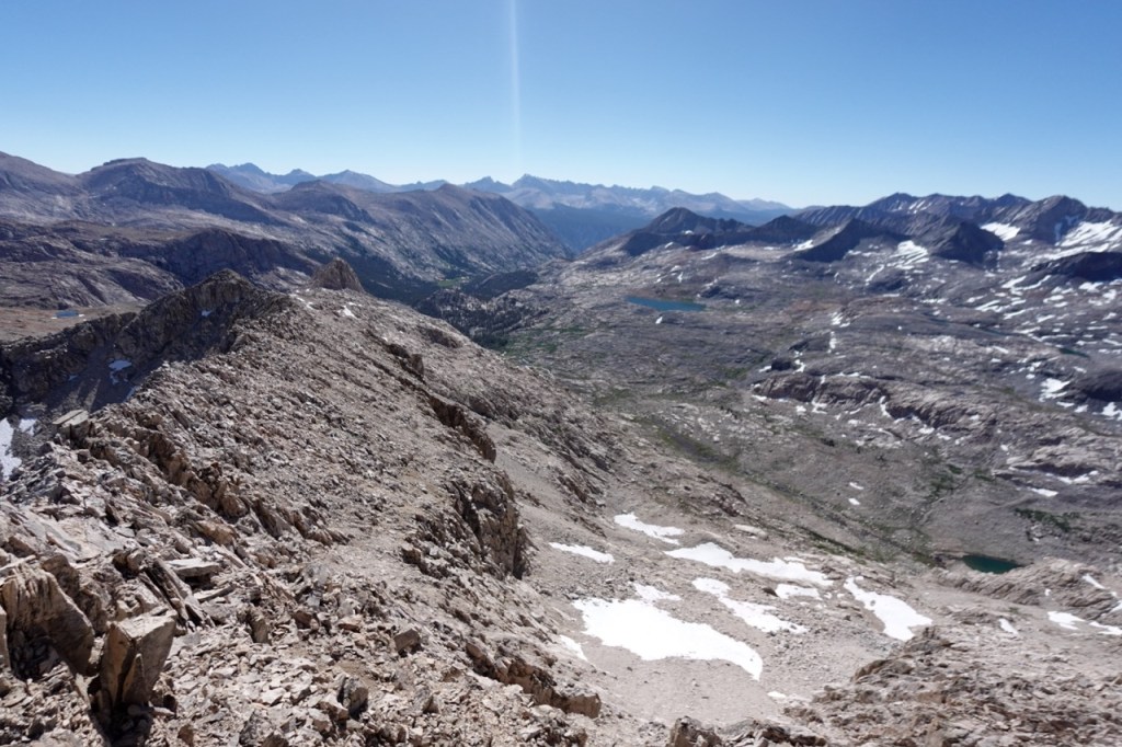
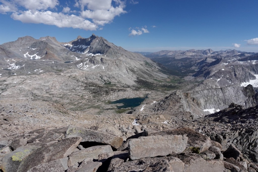
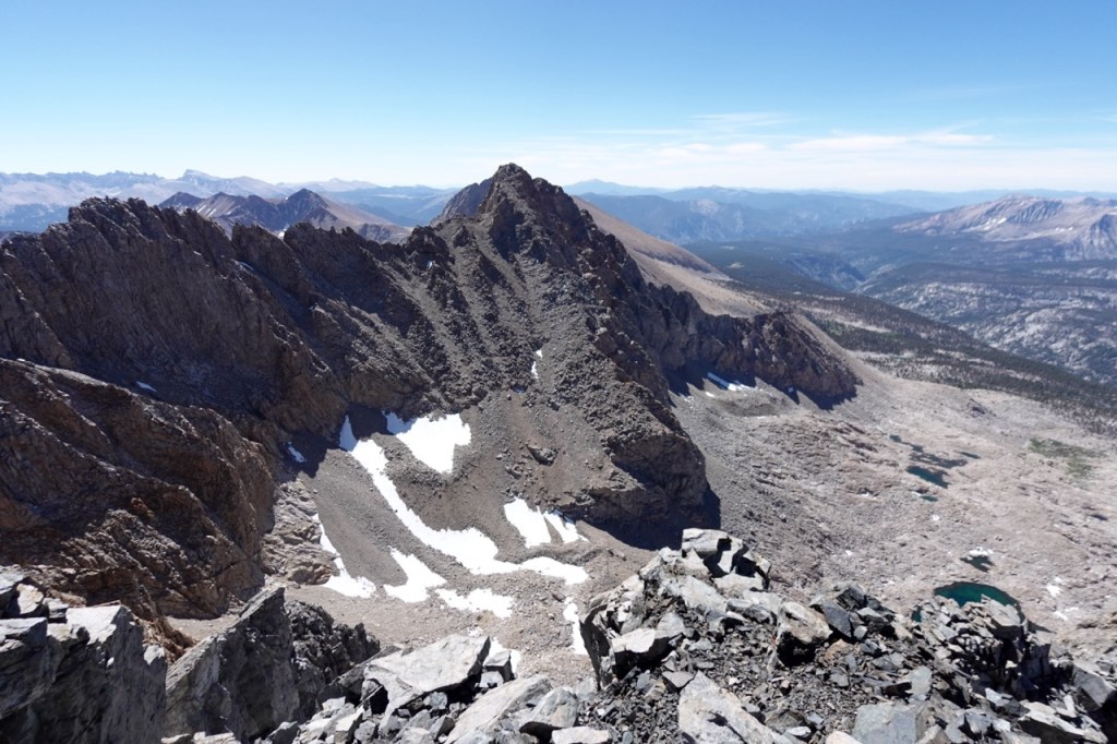
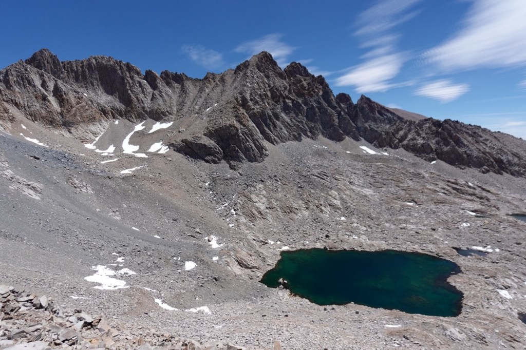
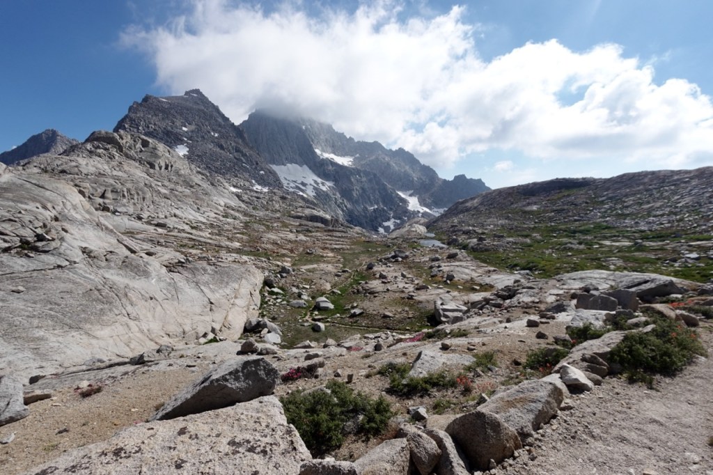
The next day I set my eyes on three peaks. I hoped the weather would cooperate with my ambitions. I left my pack at Triple Divide Pass, and headed up towards the peak. The ridge was slow going, but eventually I reached the summit. I was treated to beautiful views of all three watersheds. On the way down, I took a route more on the Kaweah side, and saved a ton of time. As I was nearing my pack, I ran into the first person I had seen in two days. The man had attempted Lion Rock, but claimed the chute had become purely vertical, and he had to turn around. I gave him some beta on Triple Divide, and I set my eyes on Lion Rock.
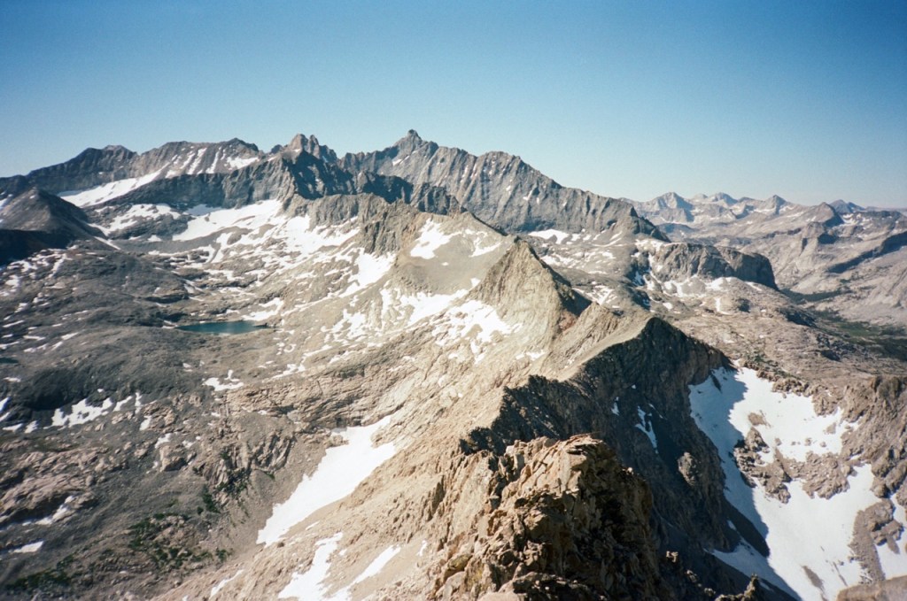
I debated going around and up the third class chute, or taking the more committing 4th class south ridge. It wasn’t entirely clear what route the man had taken. He didn’t give a clear answer beyond vaguely gesturing towards a chute. For a minute I contemplated heeding his warning and playing it safe, but ultimately, I decided he must have been on no route at all. I chose to ignore his warning about the peak, and forged ahead towards Lion Rock Pass.
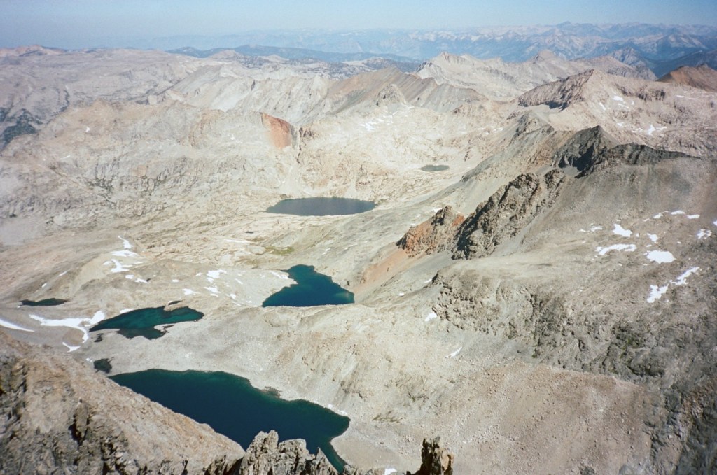
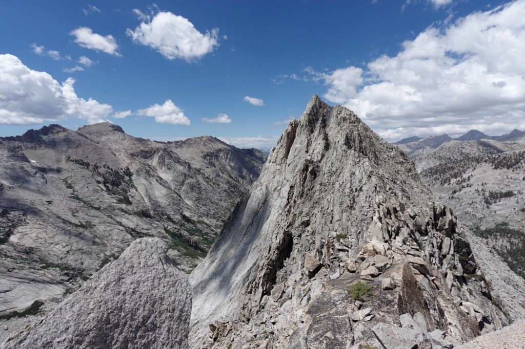
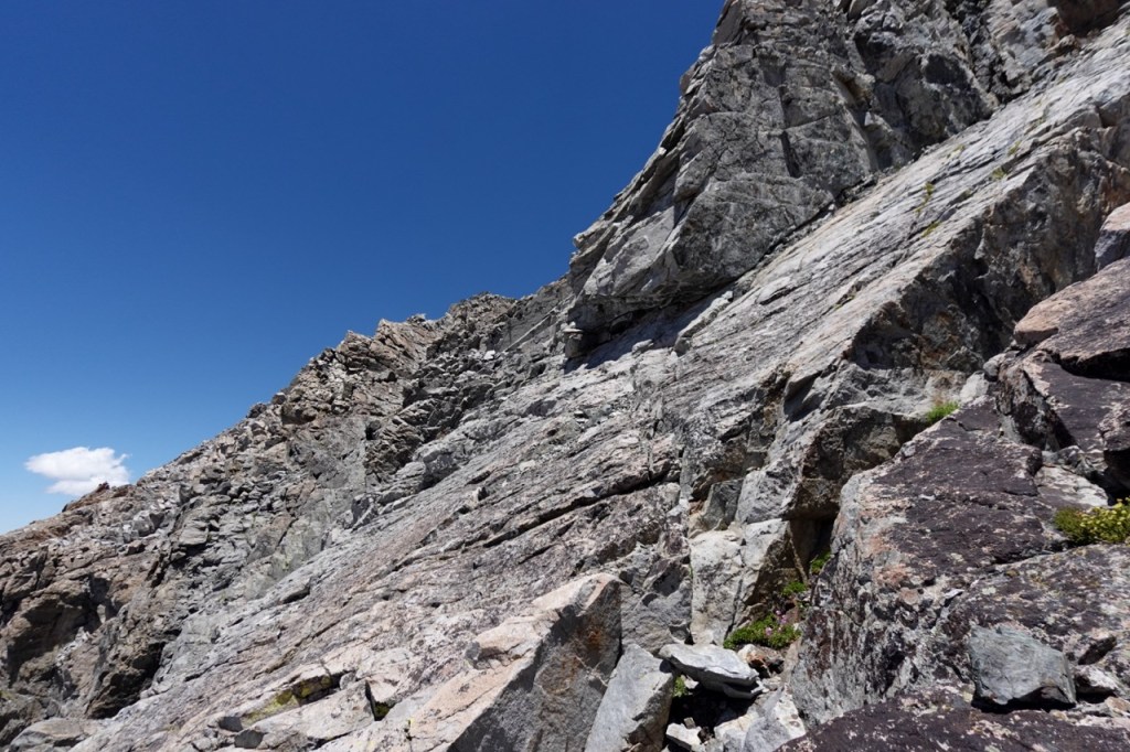
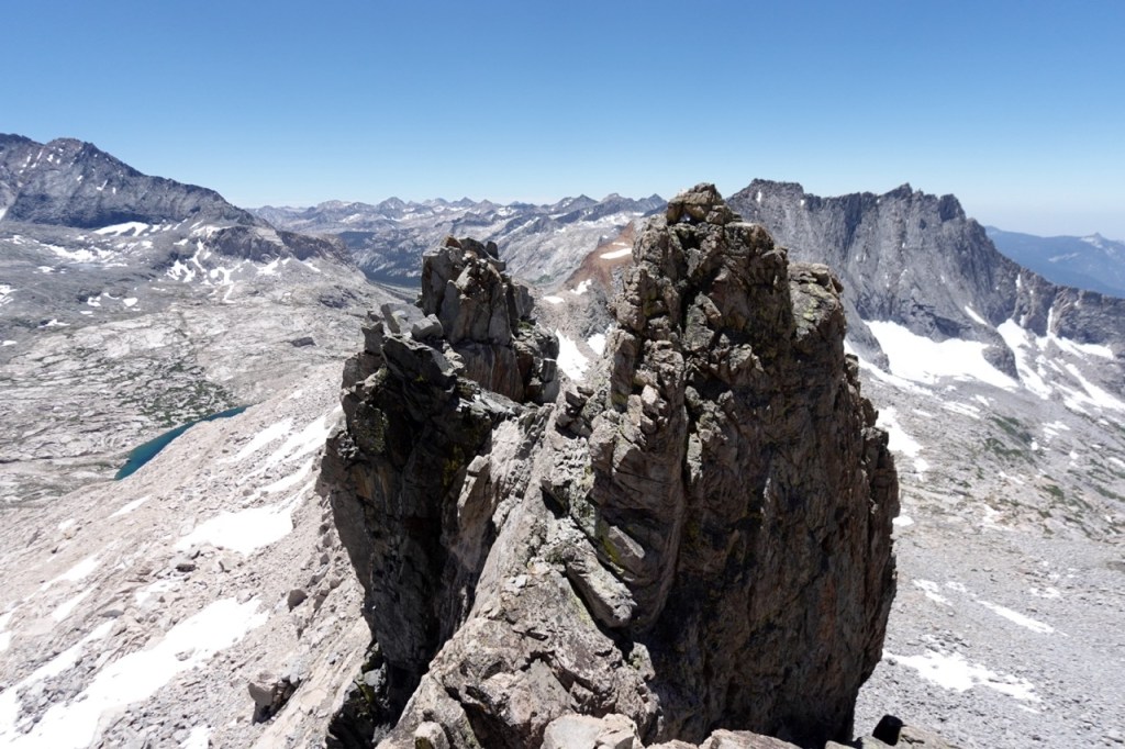
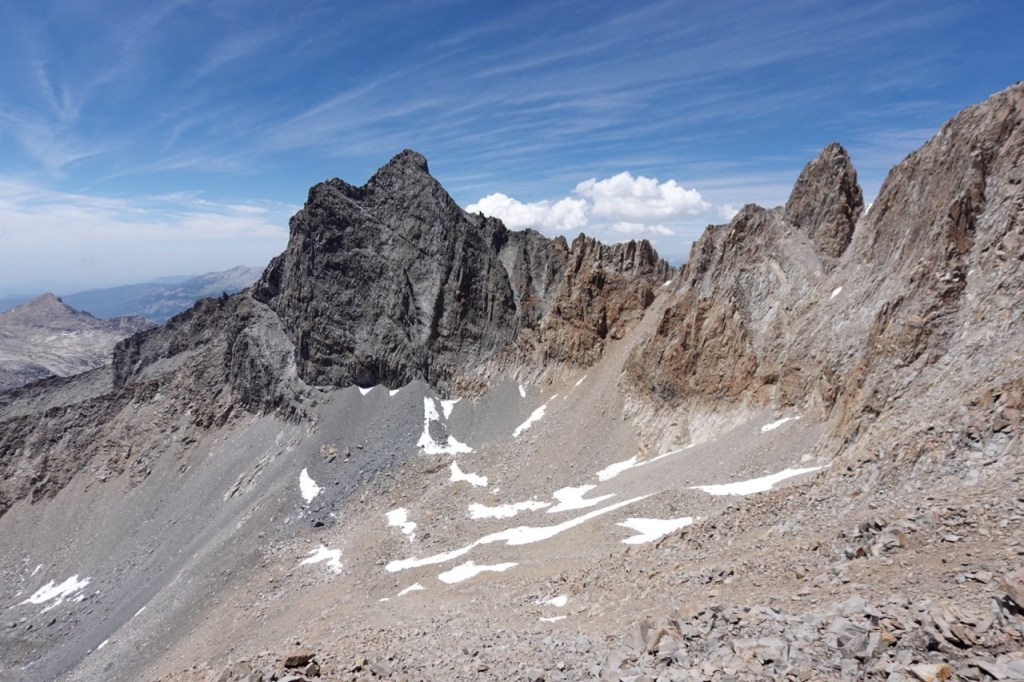
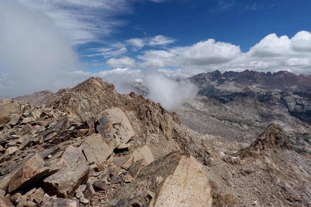
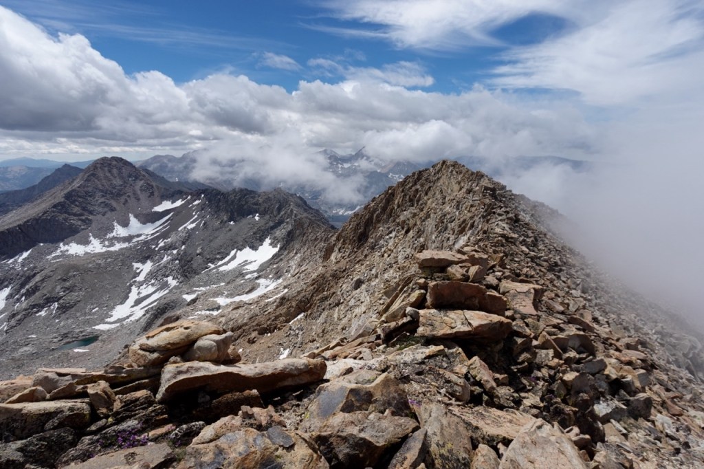
It was a gamble, but if this route went, it would certainly make the day a lot shorter. From Lion Rock Pass, I attained the ridge and left my pack. The route looked highly improbable. I headed up to a knife-edge ridge, and down climbed a few moves of fourth class to a notch. I felt the air expand way below me on either side as I made the moves. Knowing that I would get to climb them the easier way — up — on the way back, filled me with confidence. Even after these moves, I was very unclear where the route went. I could either continue on the ridge, or traverse around a corner. I carefully traversed around the corner. Third class, but with awesome exposure. From there, I climbed up to the false peak, and continued steeply down to another notch. Soon I was on the summit. I took in the views but did not linger long. Luckily, I remembered the down climb well. Soon I was at the fourth class arete, I climbed up it and was reunited with my pack. From there I had a few miles of cross country travel in the direction of Kaweah Gap. I welcomed the change of pace.
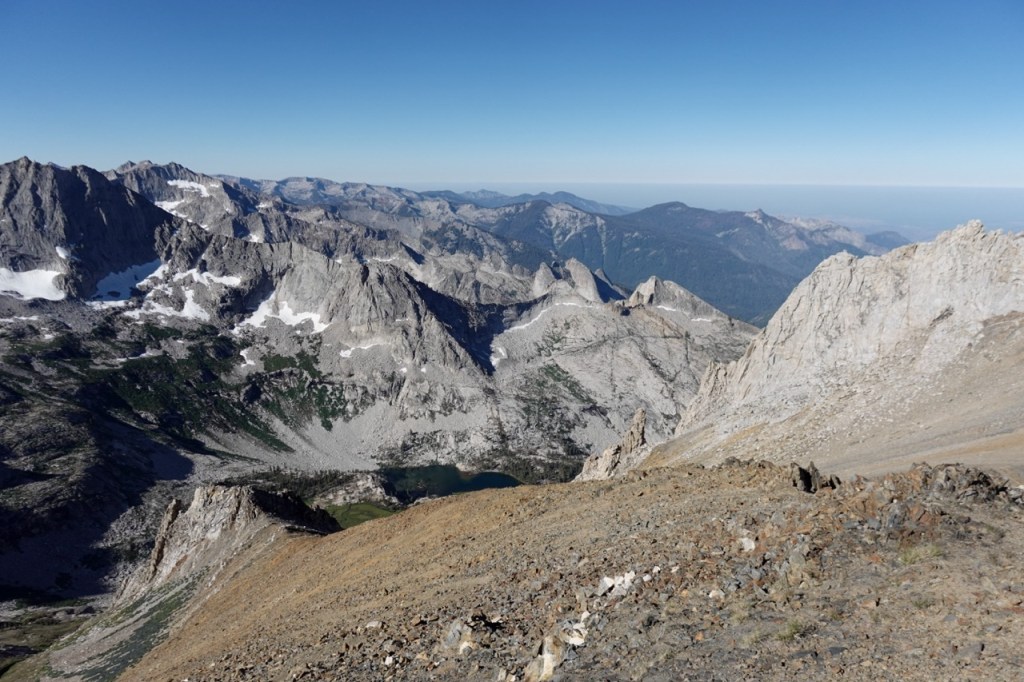
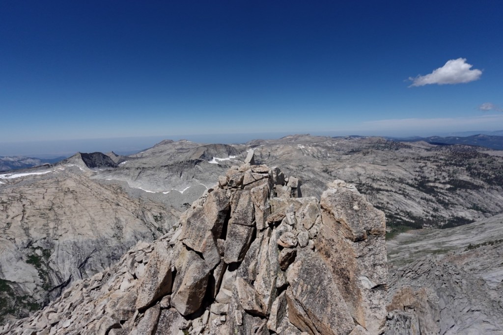
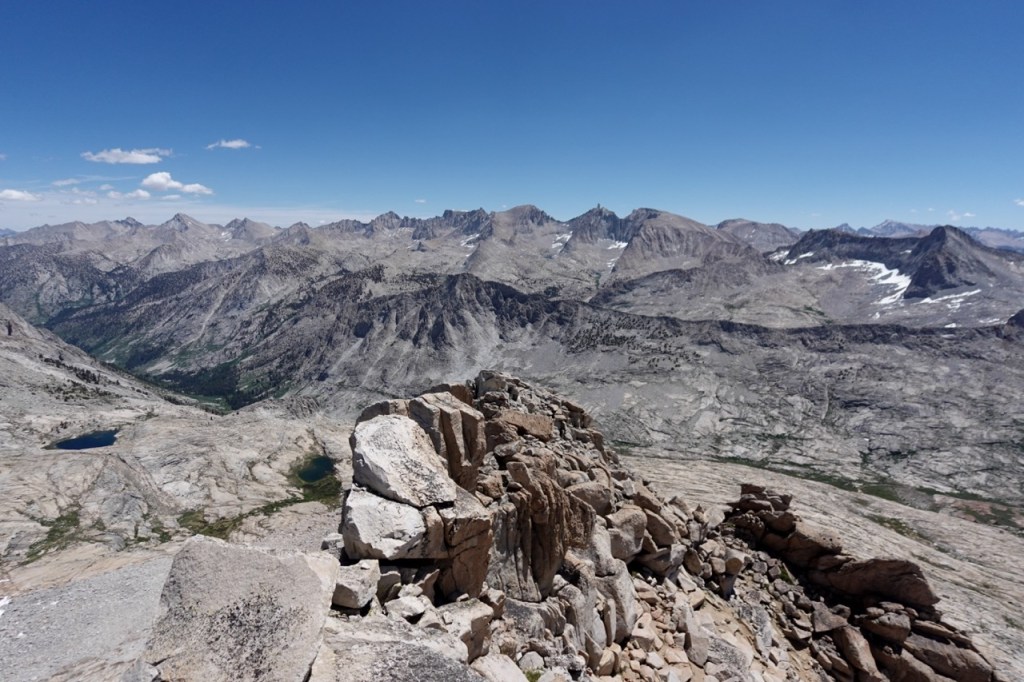
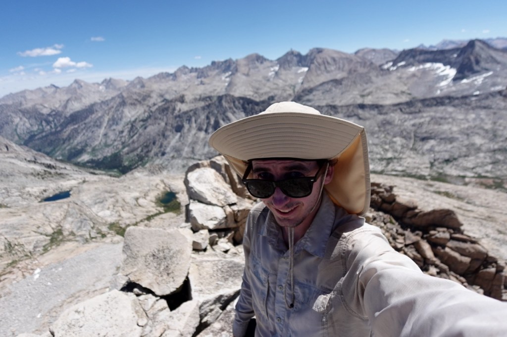
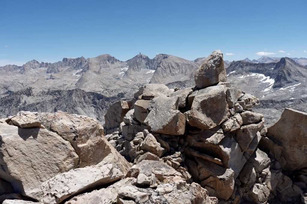
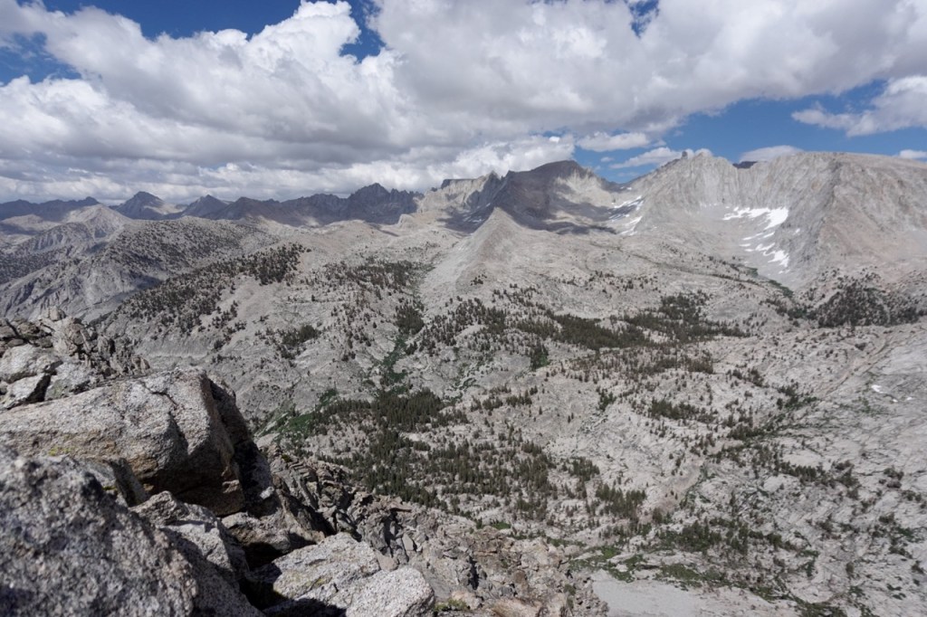
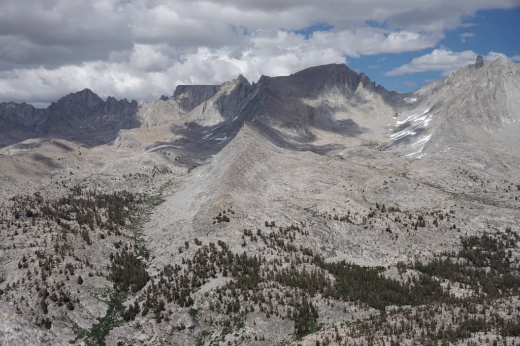
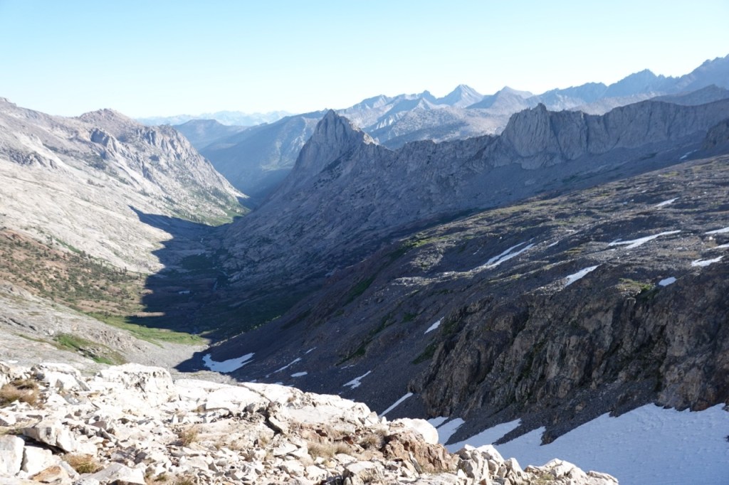
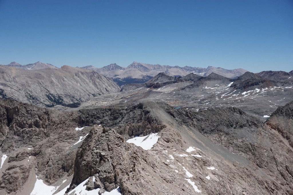
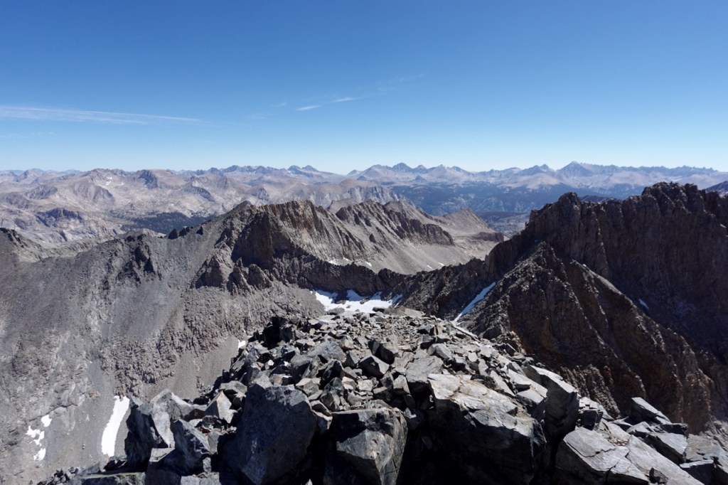
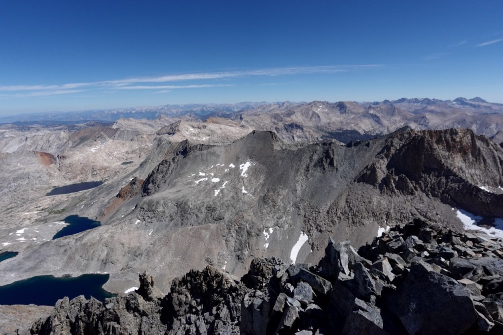
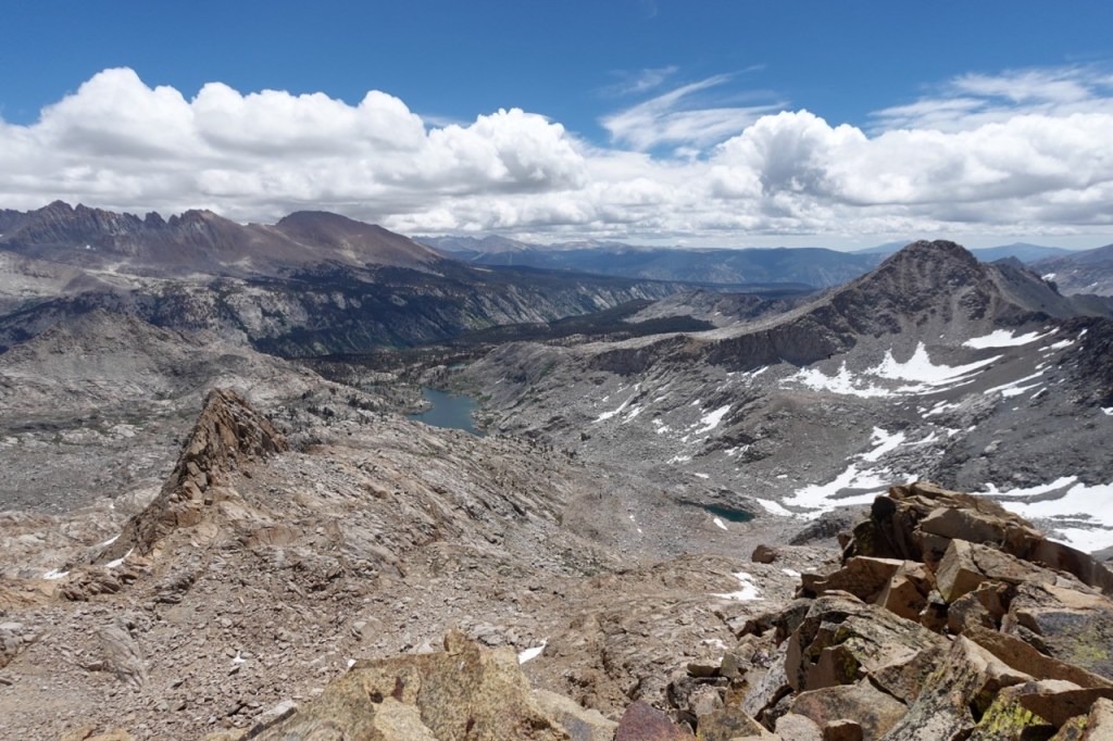
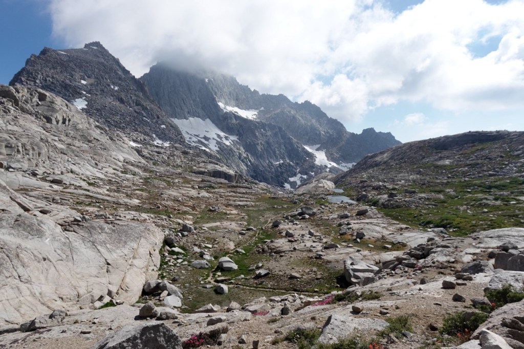
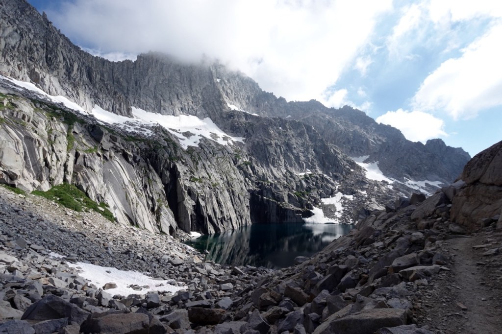
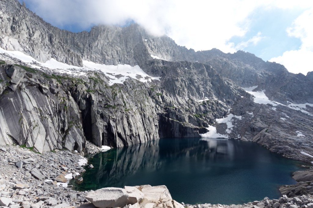
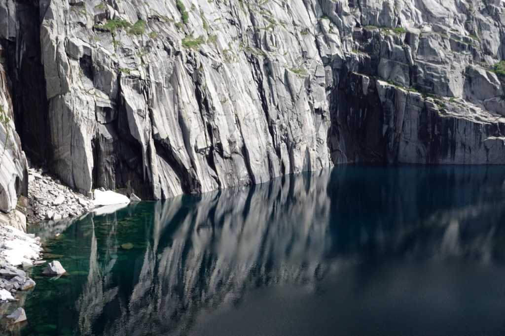
I dropped my pack for the third time that day at the base of Mt. Stewart. I was tired from the big day, but knew that if I could push on, I would have a much greater chance of summiting all ten peaks. The route up Stewart was quite pleasant. Grassy ledges took me about half the way up, and then gave way to the final talus slog to the summit. I took in the sweeping views, in no rush now. I saw the Kaweahs — tomorrow’s objective — looking menacing out to my east. I looked back north at Lion Rock and Triple Divide. To the south, the great western divide continued. Precipice lake looked just to be a small bathtub in the distance.
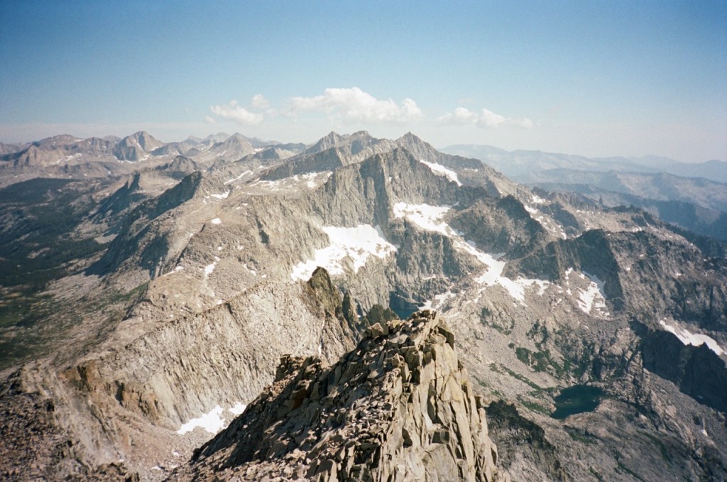
I trotted down the mountain back to my bag. Another mile off trail and I reached the High Sierra Trail. It felt good to be back on trail for the first time in a few days. I setup camp down by the Big Arroyo, well positioned for the last four peaks.
I got up before my alarm on day four. I had been nervous about the Kaweahs ever since I got a proper look at them a few years prior. On paper the day looked easy, only a few miles and 6 or so thousand feet of vert. In reality it would be anything but. The first few thousand feet went by quickly, and I was at the base of Black Kaweah.
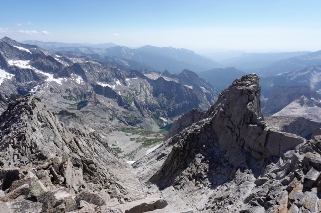
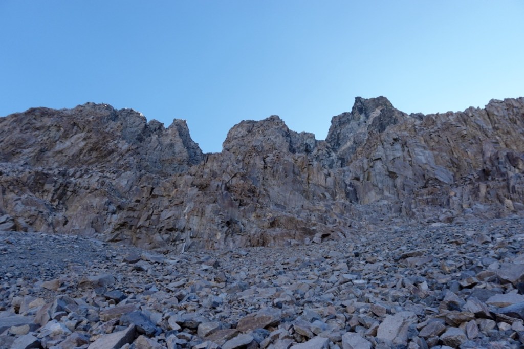
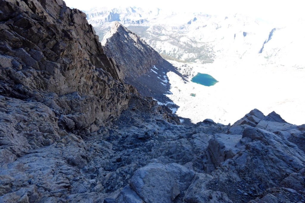
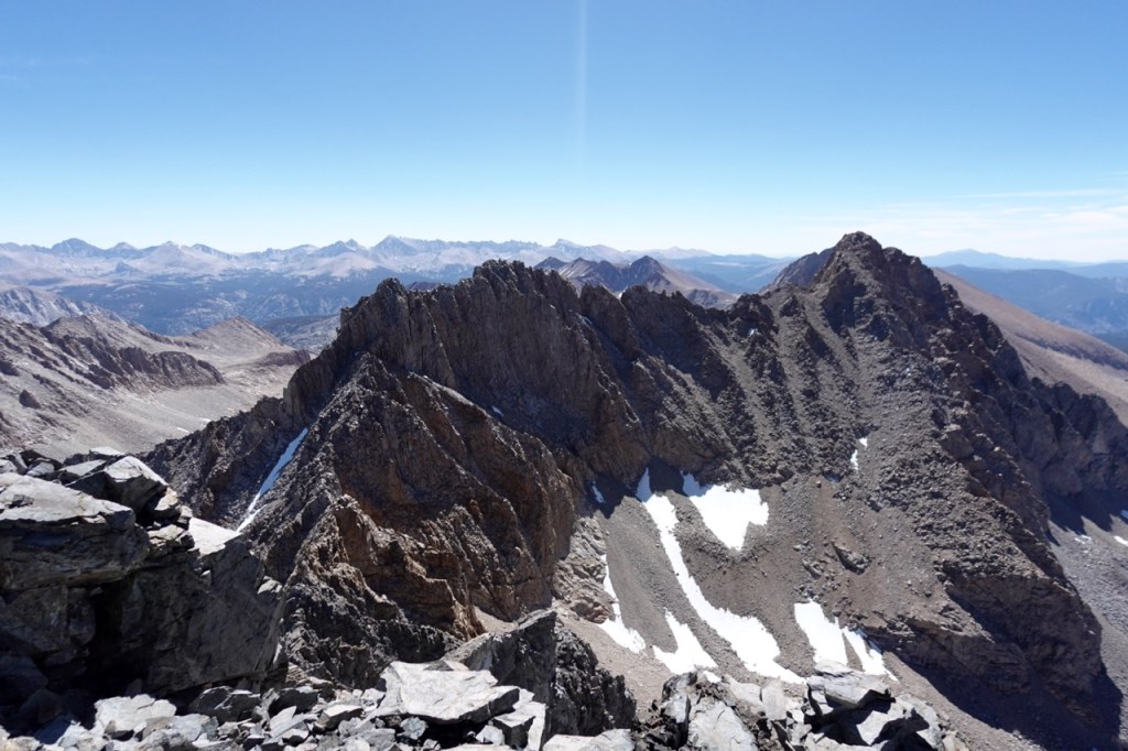
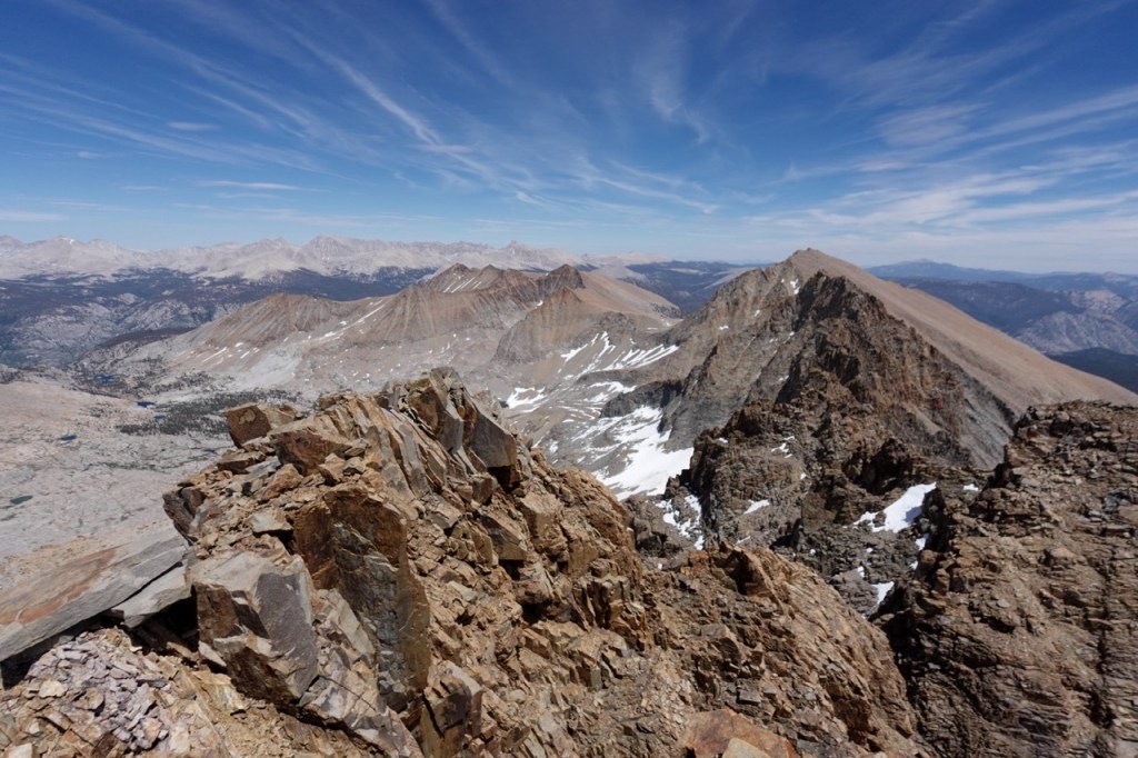
Find the black waterfall. Traverse up and left. Head up the chute. Everything went surprisingly well. I kept waiting for a super sketchy loose crux, but it did not come. Sure there were some loose class three bits, but nothing to write home about. I became so confident, that I even contemplated the “class 4” traverse. As soon as I got on the summit, I knew this would not be a possibility. The traverse looked near impossible. I marveled in the view for a while, and then retreated down the mountain. I still had another mountain to climb after all.
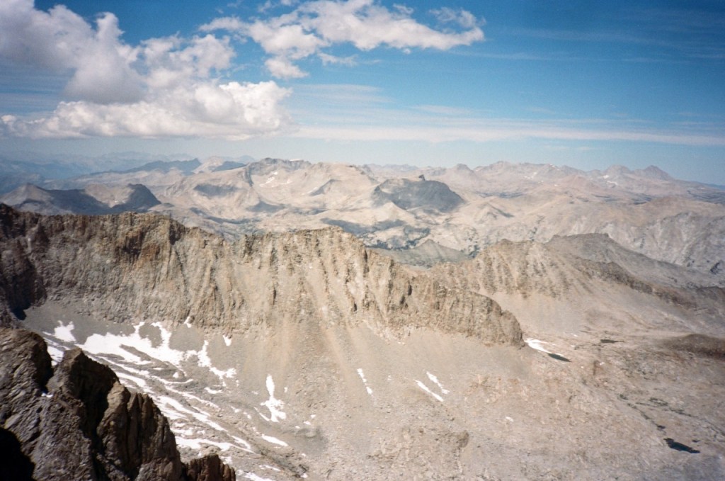
I reversed the route without much trouble. After getting back on class two terrain, I debated trying to forge my way over a saddle, or forfeiting even more vert and going around. The idea of going over the saddle was ultimately too tempting, and it won out. I saw a weakness in the rock and headed up for it. Midway up the saddle, a giant 20 pound foothold crumbled under my weight and landed on my other foot, cracking into four pieces. Sharp pain rang out through my foot, and I waited for the adrenaline to wear off to assess the damage.
Luckily, the saddle went. As I picked my way down the other side, my foot hurt, but the pain seemed manageable, so I continued up to Red Kaweah. Red Kaweah was a 2,000 foot or so scree slog. I was already pretty tired from Black Kaweah, and the other six peaks I had hiked thus far, so I made slow but steady progress up to the peak.
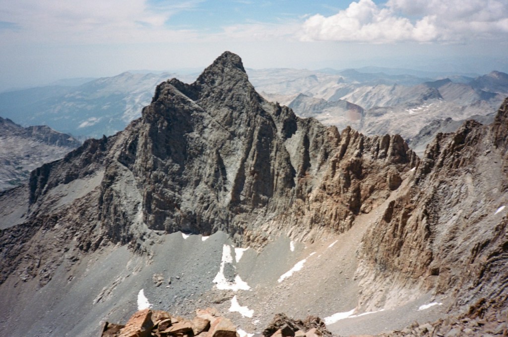
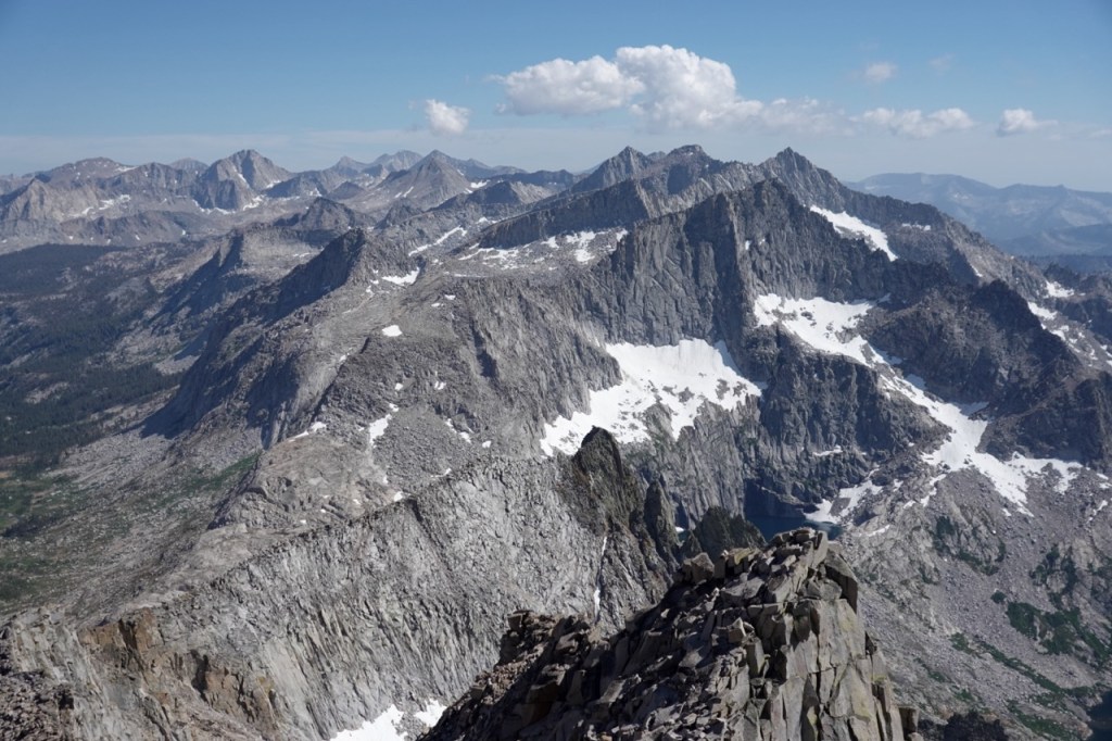
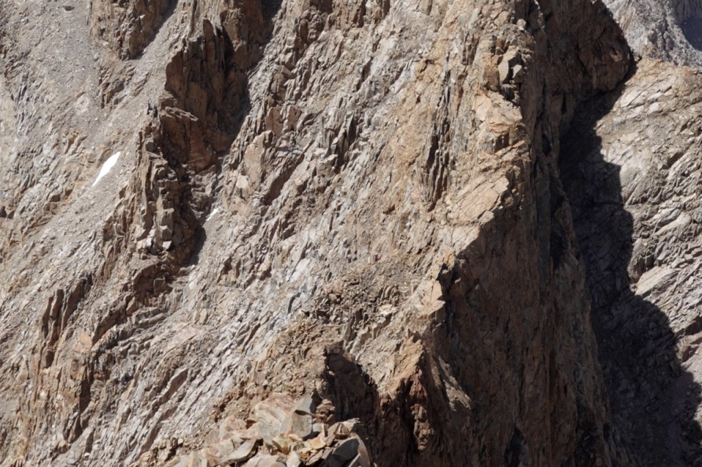
As I reached the summit, I heard a lot of rockfall in the direction of the ridge line with Black Kaweah. I heard a few loud screams. Had someone fallen and died? I hadn’t seen anyone all day, so I felt very uneasy. In all of the summit registers so far, I had been the first of the year, in this one, I was the second. Someone had summited 40 minutes before me. I peered out at the craggy impossible looking ridge line. Sure enough, there was a man wearing red — an ant on the massive saw like ridge, picking his way along the ridge. I would hear intermittent screams and rockfall. I would look over fearing the worst. The steps of initiating a SAR call ran through my head. Finally, I did not see the man any more, and I feared the worst. I checked the papers a few weeks later, and saw no reports, so the man seems to have survived.
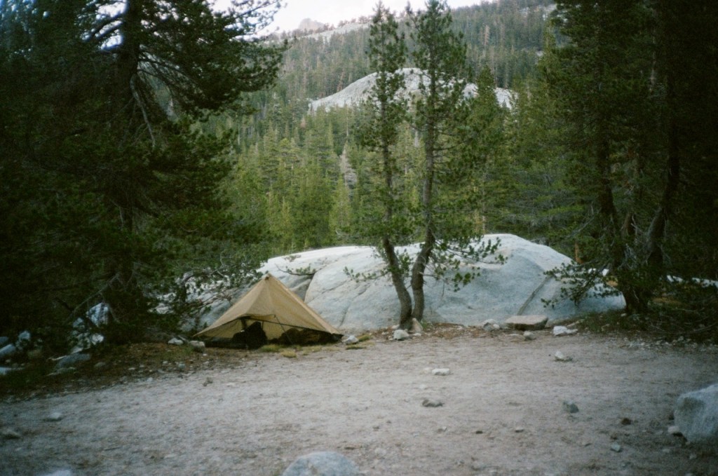
After a long 4,000 ft off trail descent, I made it back to camp. What a great feeling to have your tarp already set up after a long day. A cozy home in the vast wilderness. I slept soundly, lulled by the sound of the Big Arroyo.
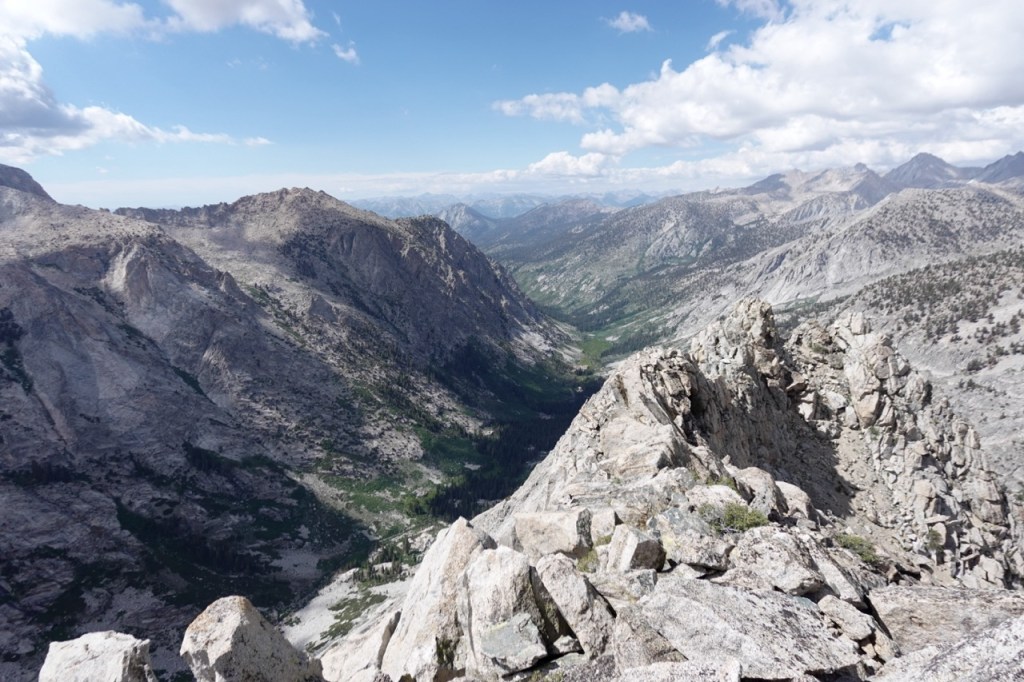
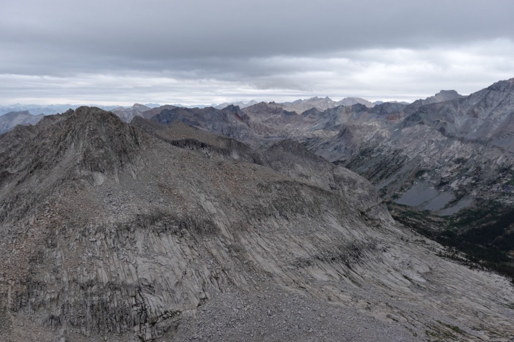
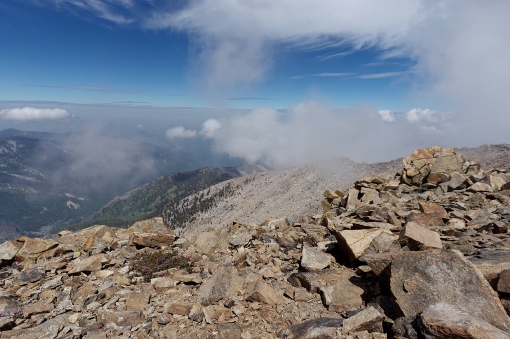
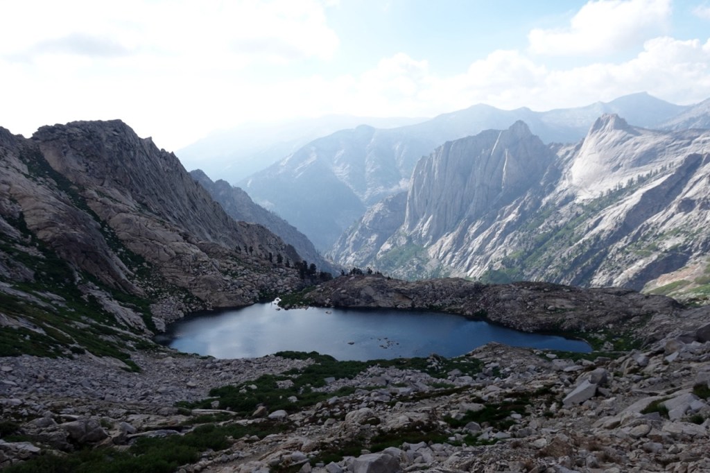
On the fifth day I woke up to a totally overcast sky, and light mist. Not a typical sight for a Sierra summer day. I increased my pace considerably going up the mountain, fearing a storm was coming in. I resigned myself to hiking only Lippincott, and perhaps trying for Eisen on day 6. On the summit of Lippincott, I got service, and got some updates from the forecaster. He too had been caught unaware by this storm on the other side of the range. Luckily, though, it was blowing off. The traverse to Eisen took about two hours. I wasn’t sure which of the twin summits was higher, so I climbed both. 10 peaks in five days. I was filled with elation. What a beautiful and unforgettable part of the range.
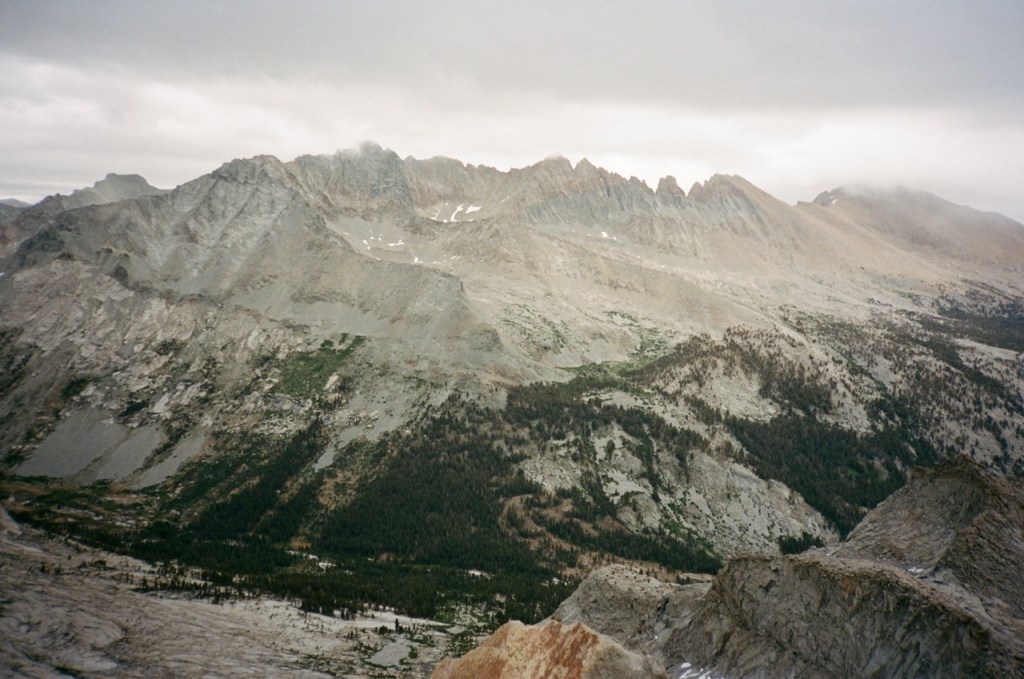
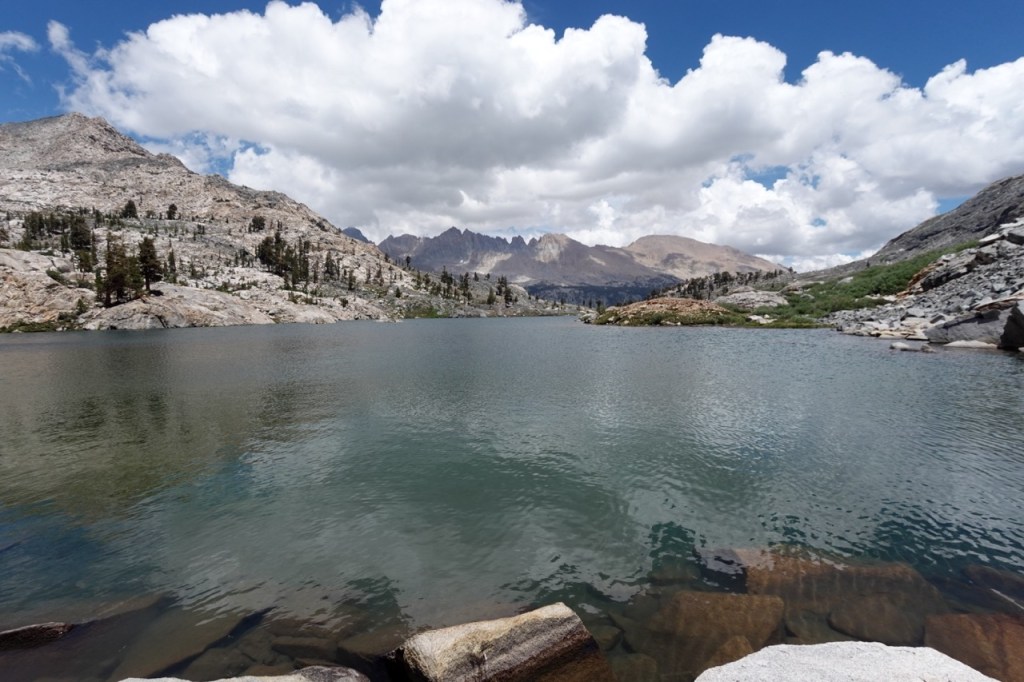
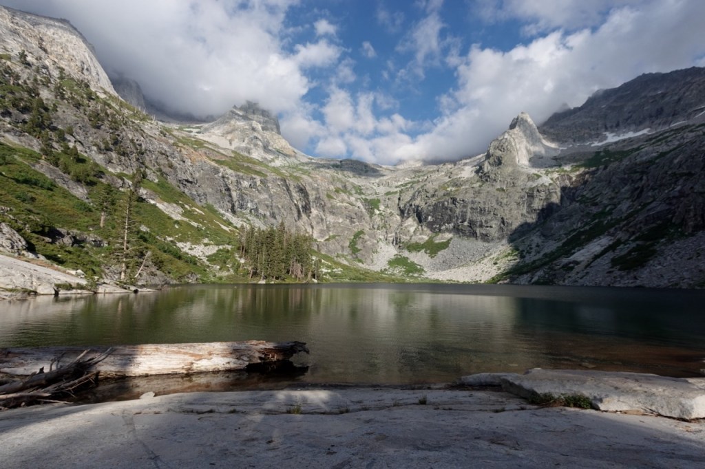
I had climbed all of the SPS peaks in the area, but I would surely be back someday just to take the area in some more. I descended a long while and swam in a lake to celebrate. Soon I was trotting down the trail back to my tarp. I could have camped here for the third night in a row, but decided to get some miles in on the way back, to shorten the sixth day.
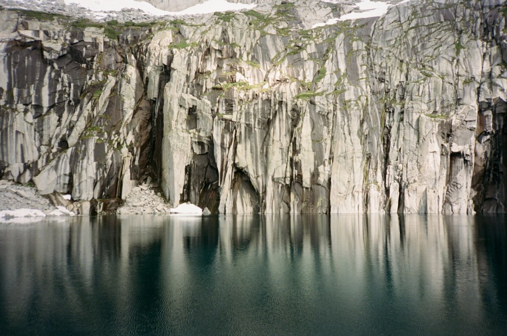
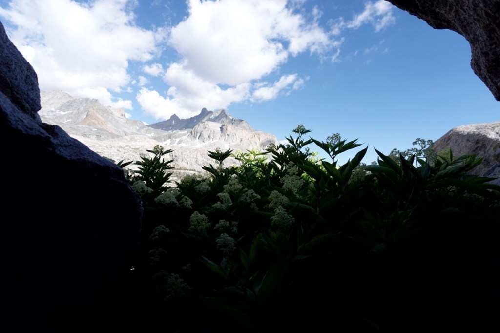
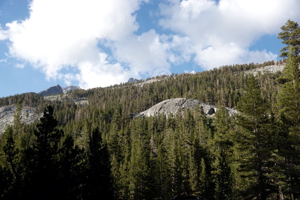
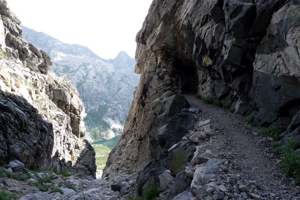
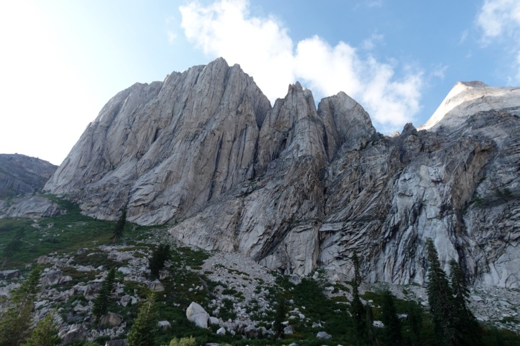
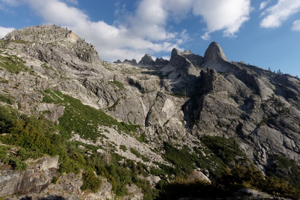
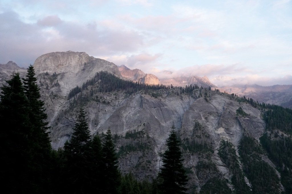
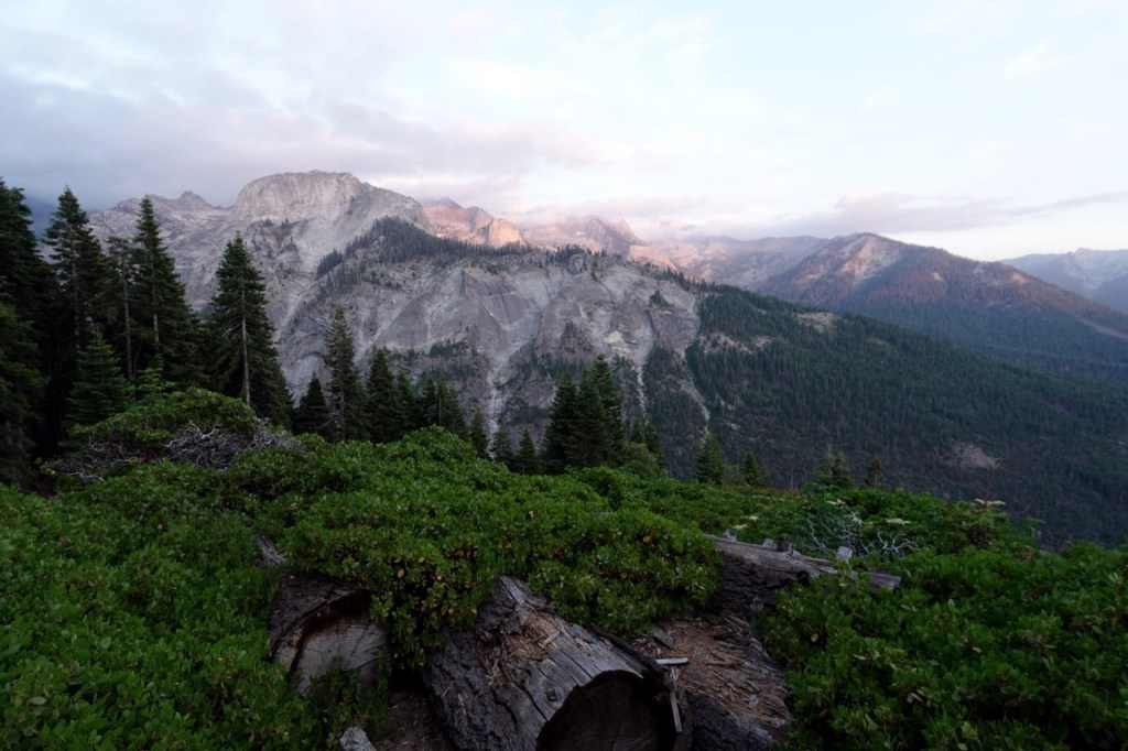
I was in no rush to beat a storm or to bag more peaks now. I took my time on the High Sierra Trail and took in all the sights. What a beautiful slice of the range. Rugged granite formations rise out of every mountain. The lingering clouds danced along the mountain tops. No one was on the trail, they were all in there tents, missing the soft evening light glimmering on the granite.
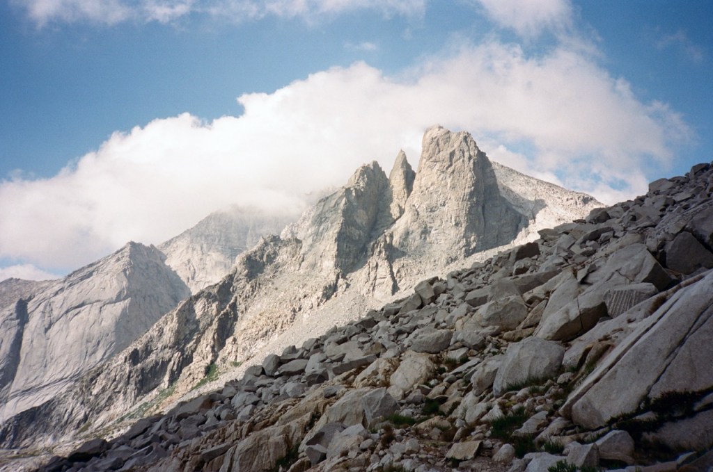
I was in the zone now, making good progress on the trail and filled with joy from the beautiful trip. I had dinner at Hamilton Lake, and went for one more swim.
Why camp here though with so many people, why not keep going? So I did. A few more miles down to Bearpaw. I watched a beautiful sunset on the Great Western Divide. At last light I found one of many spots in the campground and pitched my tarp.
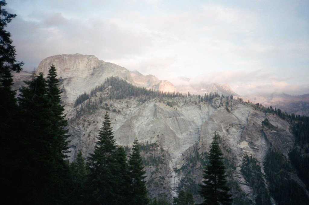
My night was anything but peaceful. Animals circled the tent all night, birds caused a huge ruckus and I barely slept. The high of the high country had worn off. I walked the last ten miles into the warming morning. I took two shuttles filled with tons of tourists back to my car. I bought some microwave food at the general store, and immediately wanted to get back into the high country. So I did.