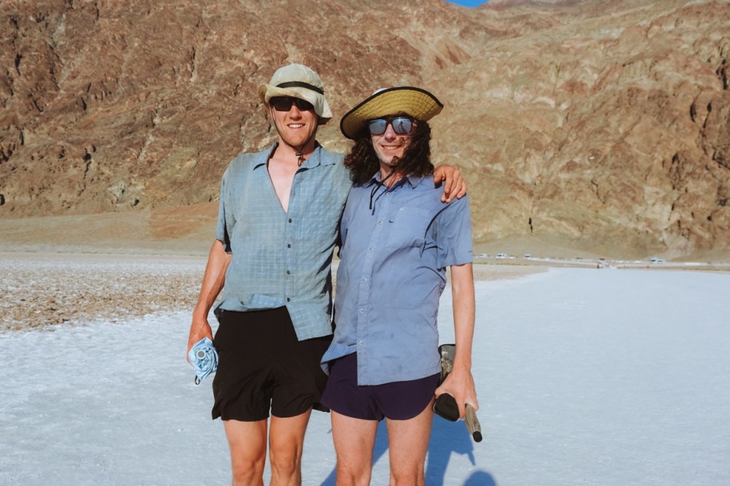
Matt and I took the afternoon to regroup after our Fall/Red Wall adventure. We went to the ranger station and let the sun dry out all of our soaked gear.
We were planning to attempt a full traverse of the Panamints, but the weather was forecasted to remain unstable for the next day, so we decided to start in the Owlsheads and hike north. We were not sure if there would be too much snow around Telescope Peak to do a full traverse, so we planned to bail at Panamint Pass and make it a loop if need be.

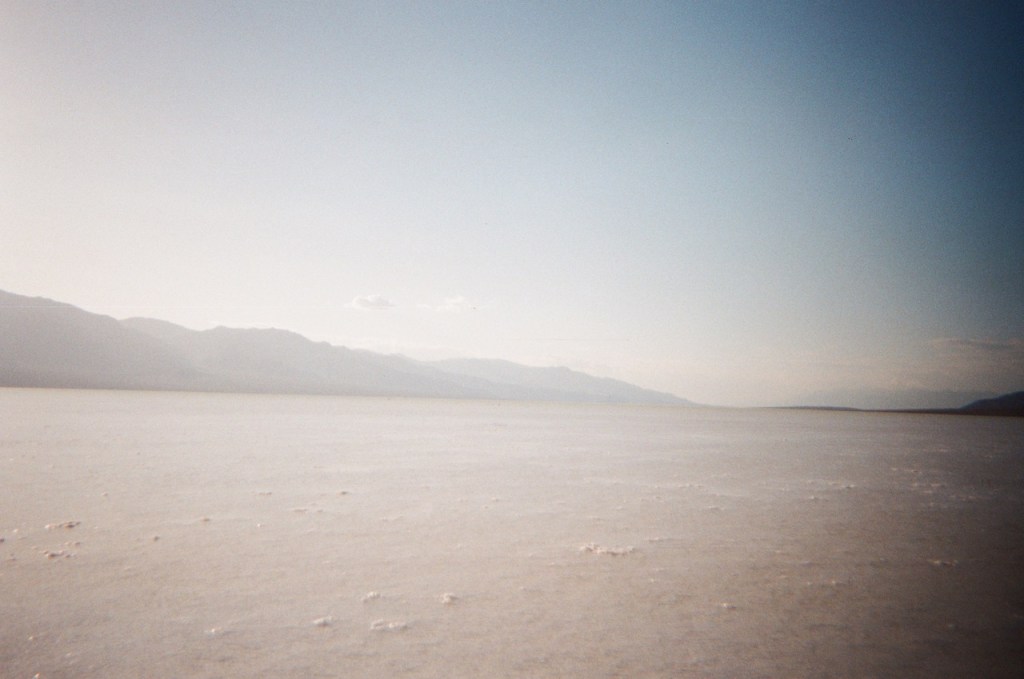
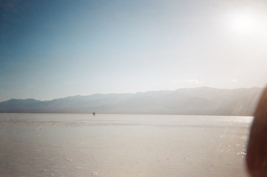
As we drove south through Death Valley, we noticed that there was still a bit of water due to the massive storms earlier in the winter. I have been to Badwater Basin ten times now, and this is the first time I have seen water there, it was a really magical experience to wade through the desert.


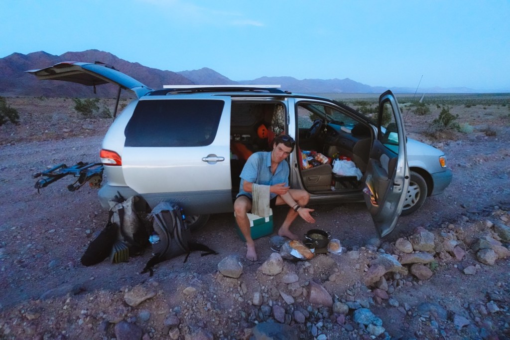
We finished the drive and camped out right in front of the Owlsheads. Matt made a delicious dinner and we were happy to be warm and dry.
We each packed 6l of water and headed off into the desert. The first rays of light hit the Owlsheads as we started to make our way up the alluvial fan.

Once we climbed through the canyon and into the owlsheads, the forecasted weather began to arrive. As with most spring time storms in Death Valley, it was nothing more then softly drizzling rain and strong wind. We saw lightning in the distance and both agreed that we were happy to be in the Owlsheads and not high up in the Panamints.


We spent most of the day crossing the upper reaches of Winggate Wash. This is a very remote part of the park, sandwiched between the Owlsheads, and the military base. Unsurprisingly, we didn’t see any other people.
It was hot despite the cloud cover. We were both grateful that we got to hike this section on a cooler day.

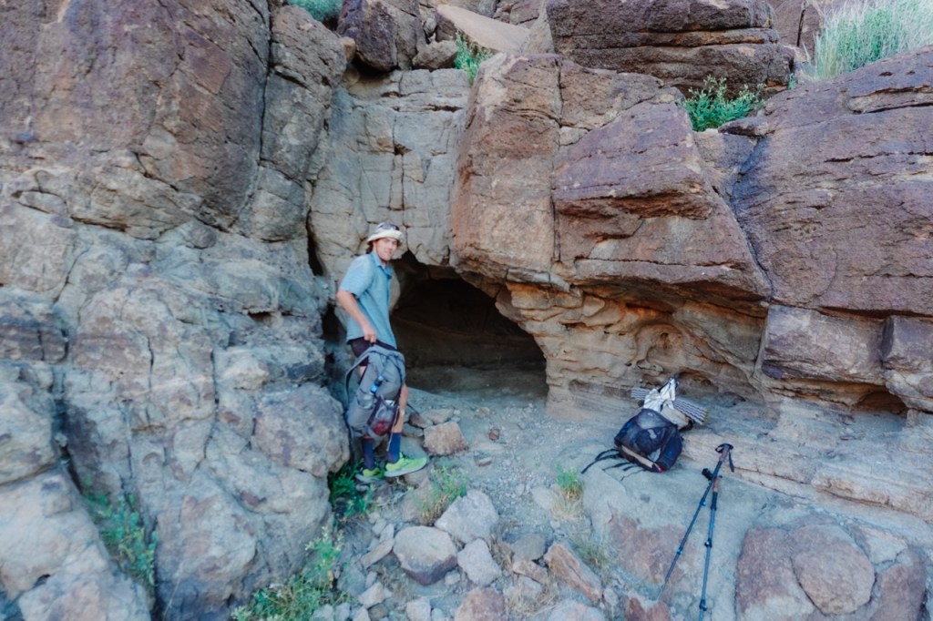
As night began to fall, it started to rain again. I joked that maybe we could find a cave, despite not seeing any all day. Luckily enough a cave soon appeared a few hundred feet up the cliffs on the right side of the wash and we camped there for the night.
The next day we passed Barker Ranch and the Geologists Cabin. Despite its isolation, this area of the park ifs full of history. The notorious Manson family was aprehended at Barker Ranch after hiding out there for a while. A family of german tourists died of head exhasution after attempting to take a shortcut over the Panamints, getting stuck near the Geologists Cabin and attempting to flee on foot into the hot summer heat. Their bones were not found for over a decade.


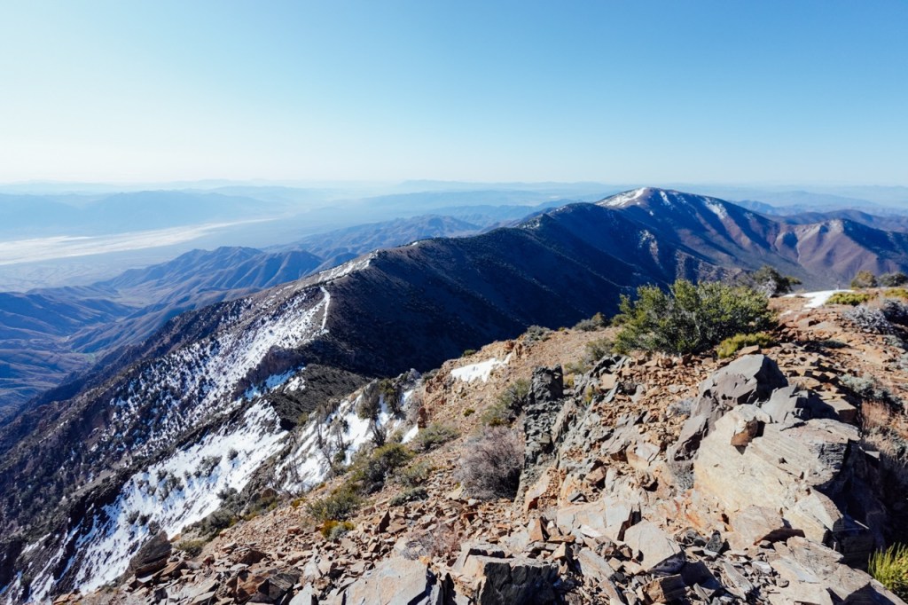
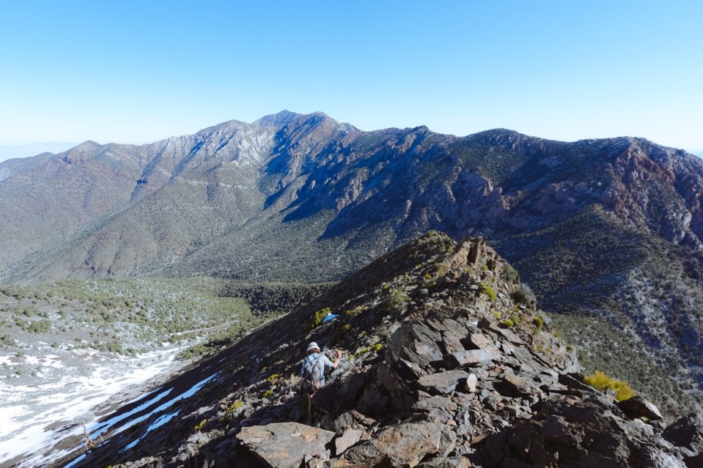
In the afternoon, after filling up water at Anvil Spring, we began our climb up the southern foot of the Panamints. We were treated to panoramic views of our whole hike thus far.


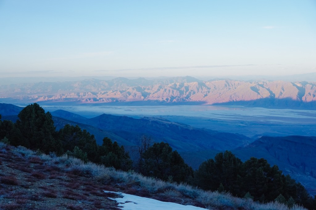
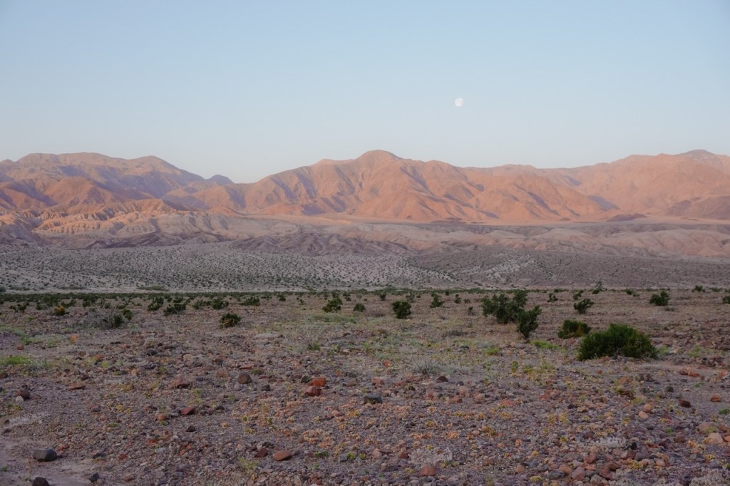
We camped that night high in the Panamints, just south of Sentinel Peak and were treated to clear weather and a majestic sunrise and sunset. The decision point was fast approaching. We waffled back and forth between bailing at Panamint Pass or attempting the full traverse. Matt had very little food left. We worried about the snow on the north side of Telescope Peak, so ultimately we decided to head down the fresh vegetable route to Hungry Bills Ranch. We both agreed to head back to the car, leave Death Valley and head for cooler temperatures in the Southern Sierra.
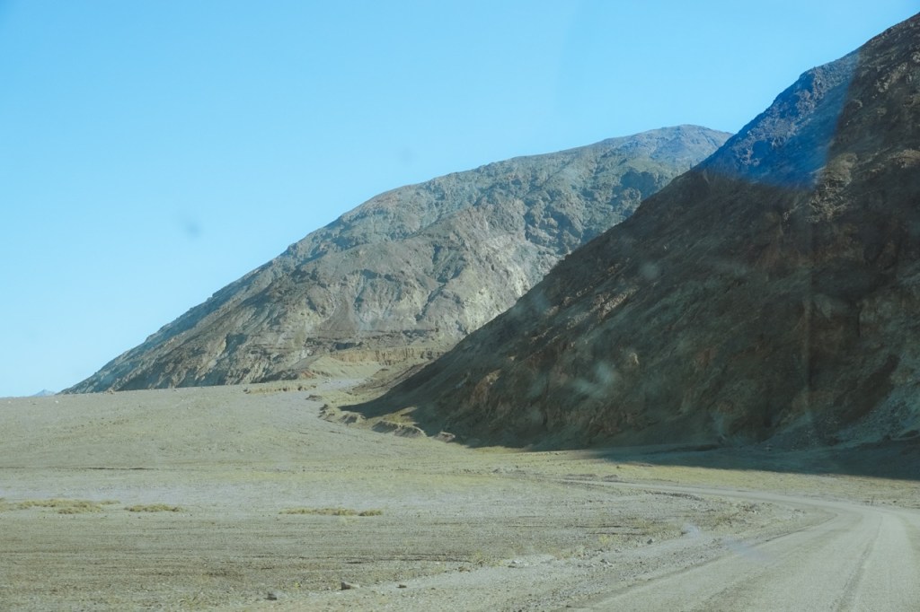
The fresh vegetable route had gotten harder to follow in the eight years since I had been there, but eventually we made it on down to the road. All of the difficult off trail was over, but we still had almost 30 miles to go along dirt roads. We could feel the heat radiating from Death Valley, it got hotter and hotter as we descended.
We took a break at the top of the alluvial fan in the last shade, and then set off into the hot evening as the shade from the Panamints overcame us.

We walked into the night, hanging a right on Westside road and heading south. A car passed us just after sunset, but did not stop for our outstretched thumbs, not even to ask if we were ok. We hiked late into the night and then finished the last ten miles the next morning at dawn, before temperatures got too hot.
Luckily, we were more then OK. We had just covered 85 miles over rough terrain in three days and a few hours. The rust had been shaken off, and I was starting to feel like I was in good hiking shape again. I had just gotten to visit one of the most remote parts of the park, an area that I had been wanting to explore since at least 2018. For all the talk of overcrowding, and overtourism, there are still many regions in National Parks where solitude is a given.
Matt’s TR: https://mattymorrison.com/pages/trips/routes/panamintTraverse.html
Matt’s film: