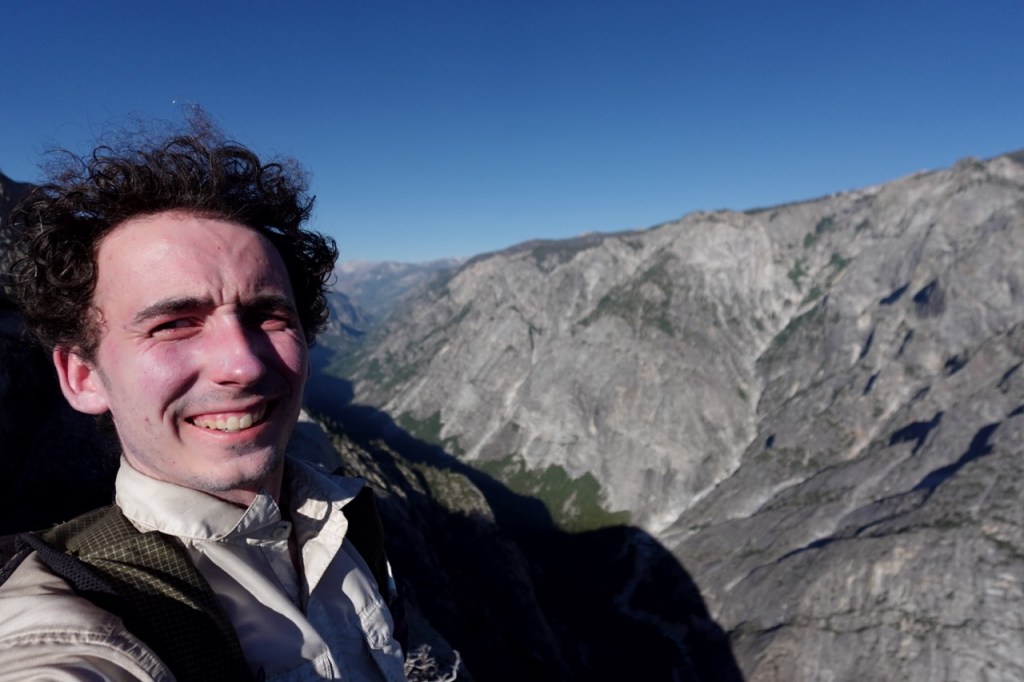
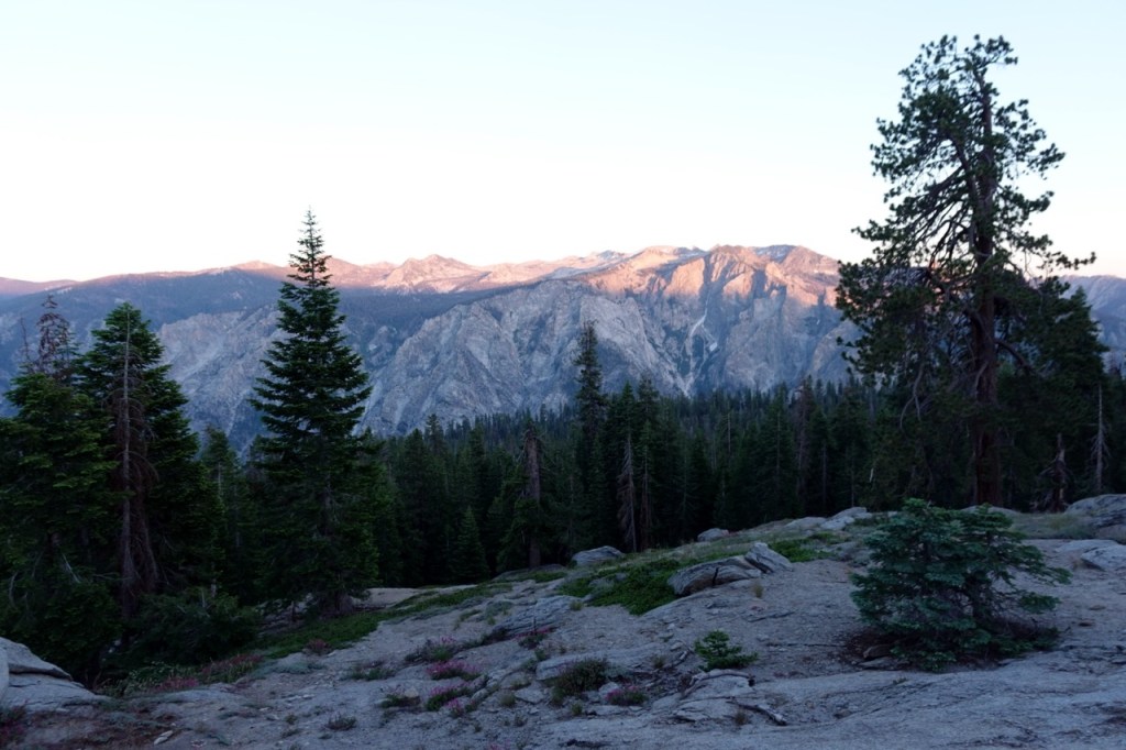
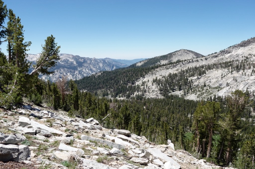
After wrapping up the Hooper Trip with Noé and Adam, I headed off on my own. I was excited to explore a new area of the westside. I drove past the beautiful Wishon reservoir and out to the Rancheria trailhead. I camped the night there and headed out the next morning. I realized that I had forgotten my hat back in Noé’s car. It is only a three day trip I thought, I will be fine. I hiked the whole PCT without a hat. I vowed to put on sunscreen every few hours.
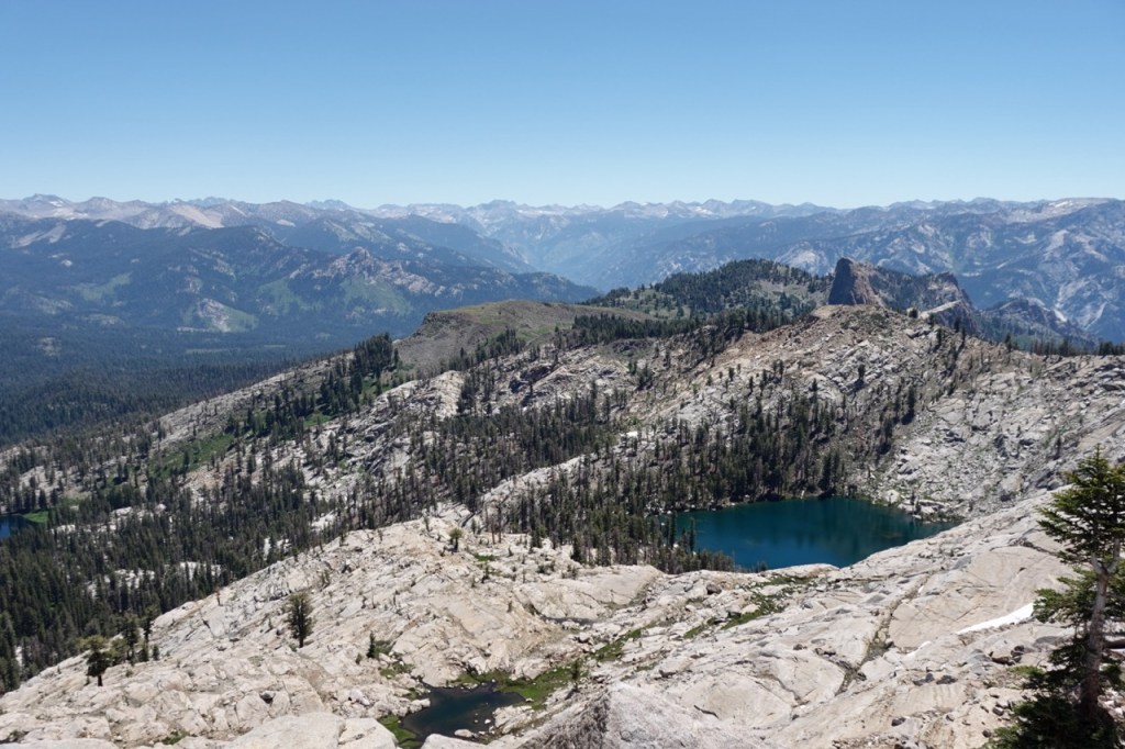
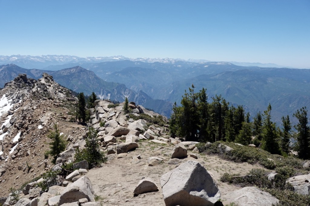
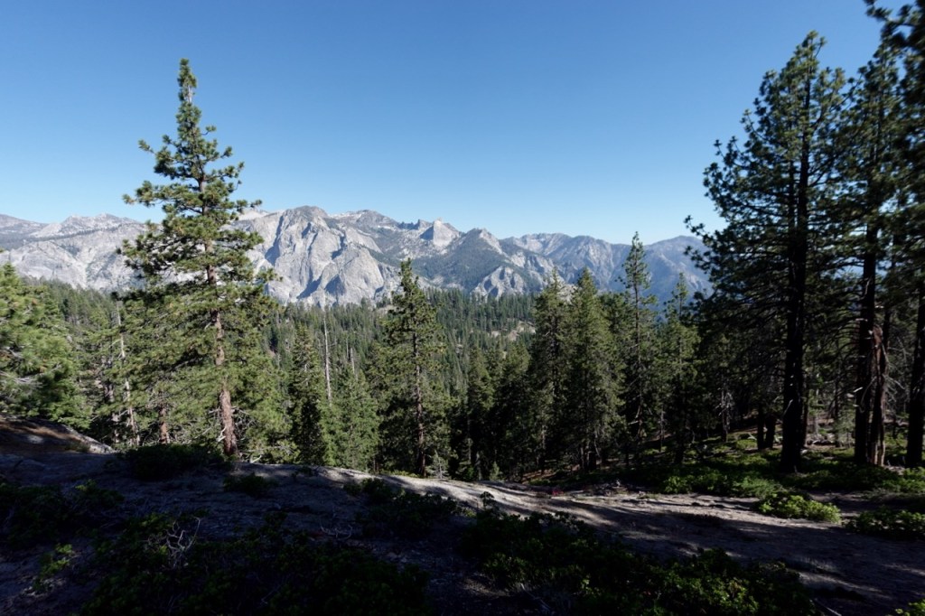
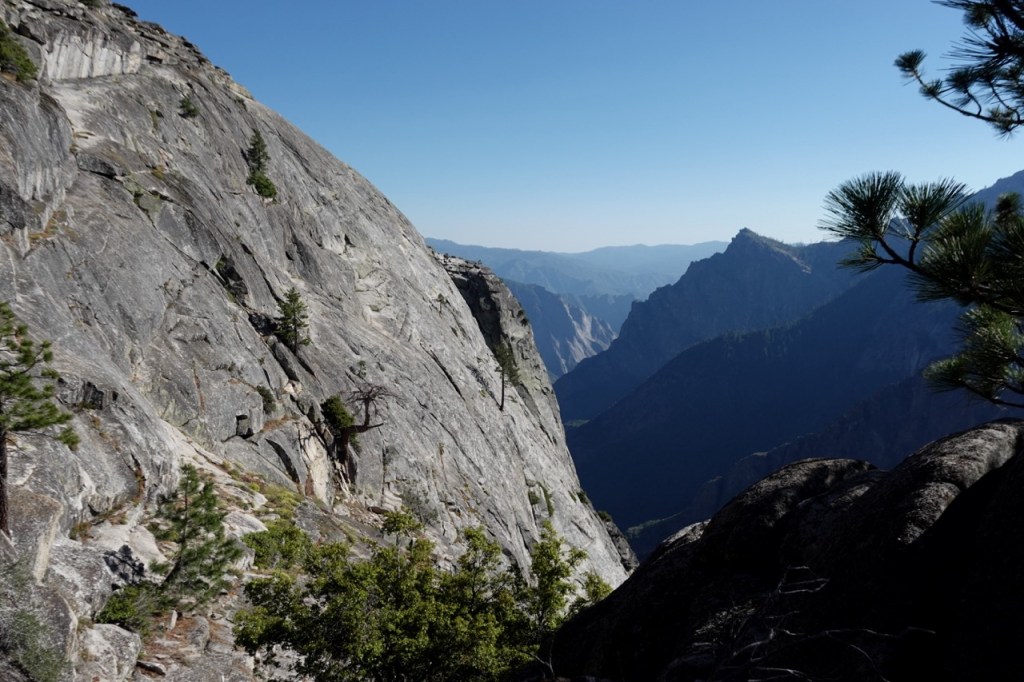
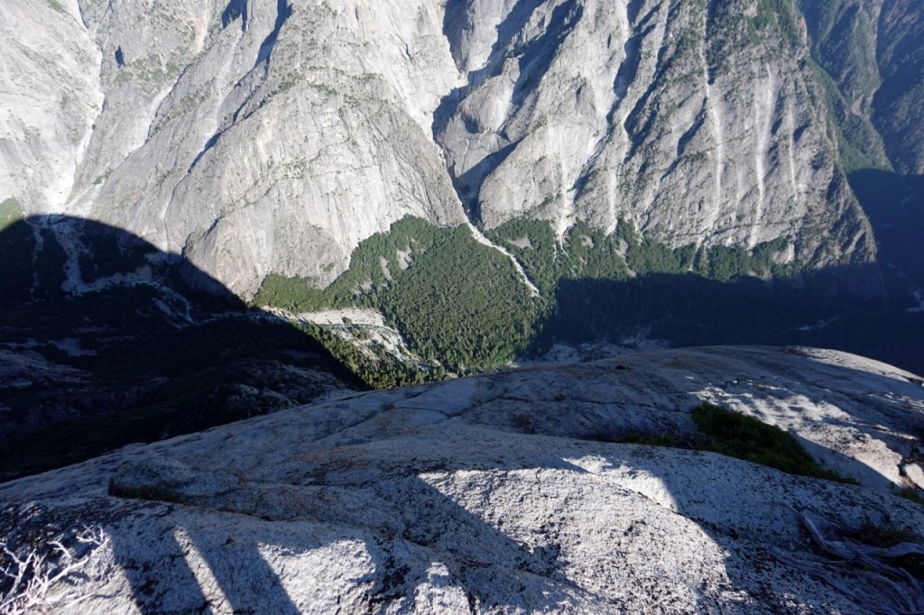
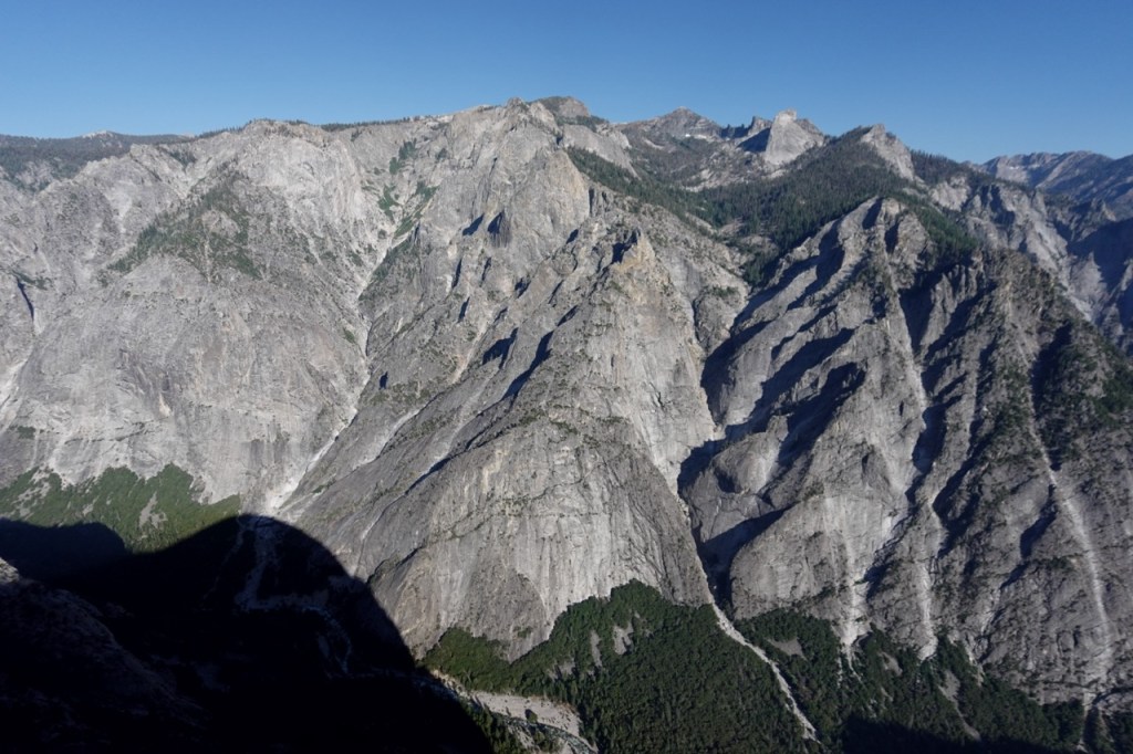
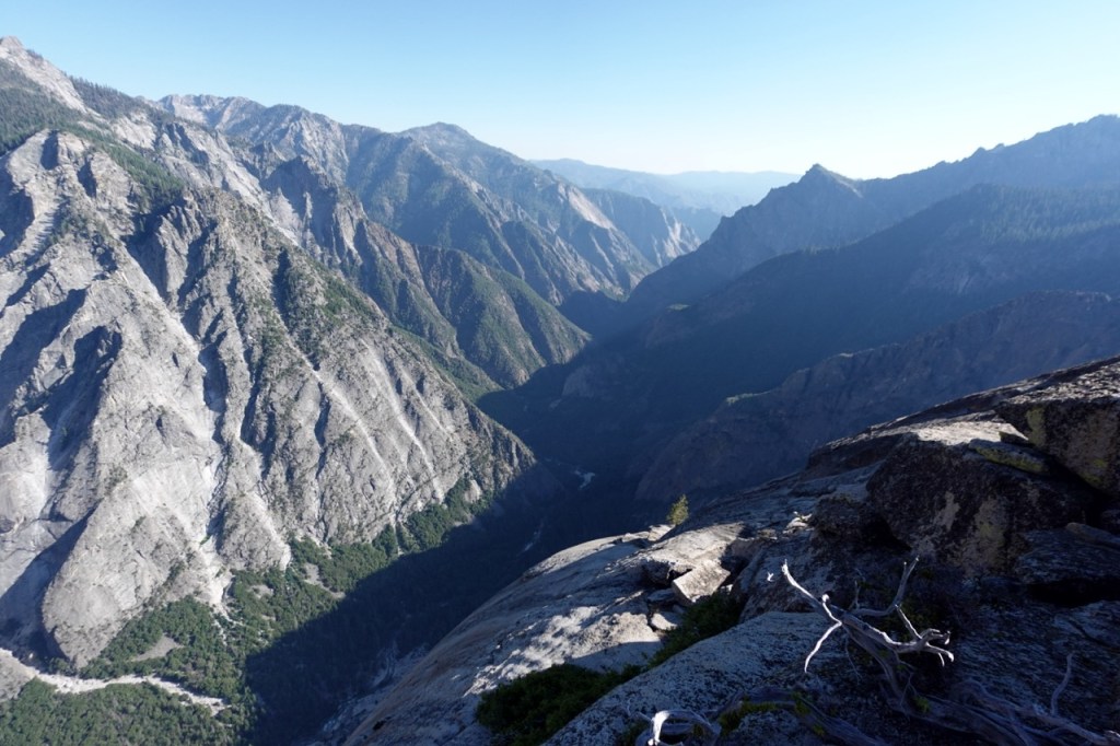
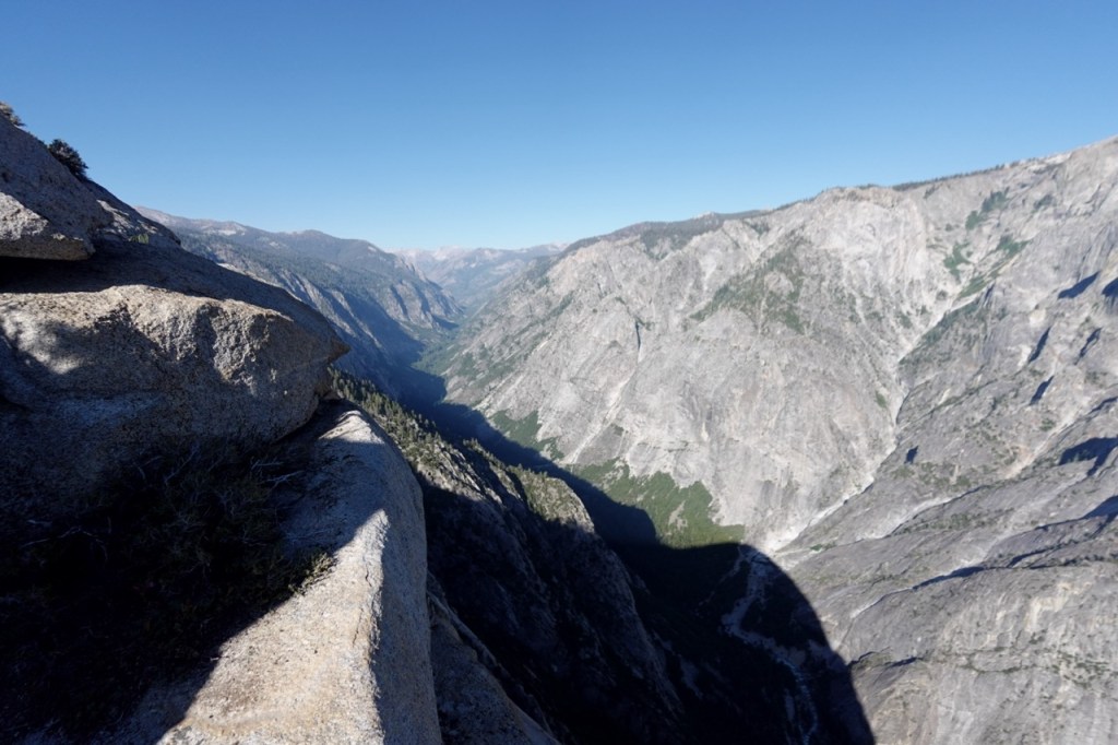
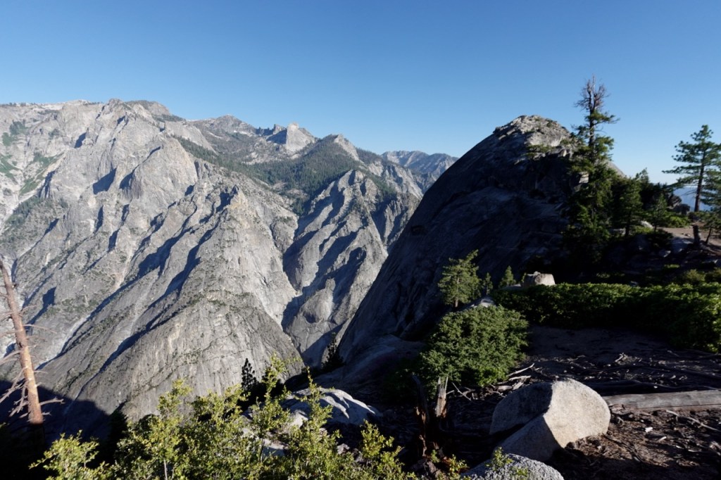
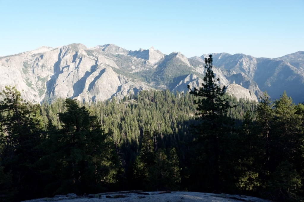
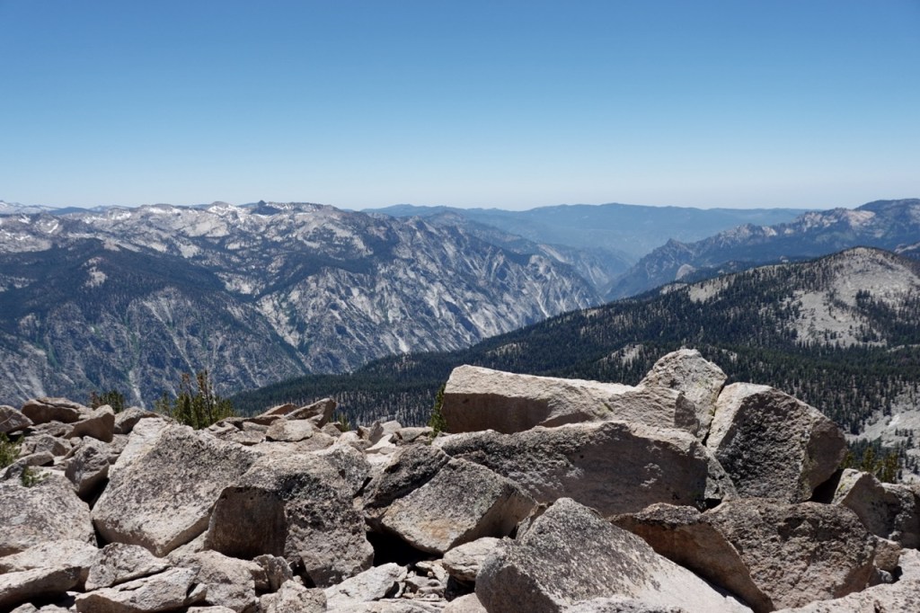
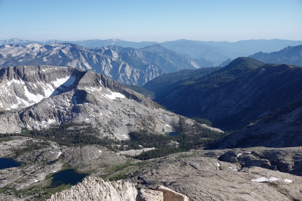
Not having a hat, and the remote nature of the trip gave the trip a much more intense flavor to it. I did not see anyone for the first two and a half days. The trip started out over semi maintained trail with a fair number of blowdowns. After the turnoff to Spanish Mountain, the trail completely disappeared. Nonetheless, I made quick progress on Spanish Mountain, and took in the beautiful views from the top. The Kings River creates a magnificently deep gorge akin to the Copper Canyons in Mexico.
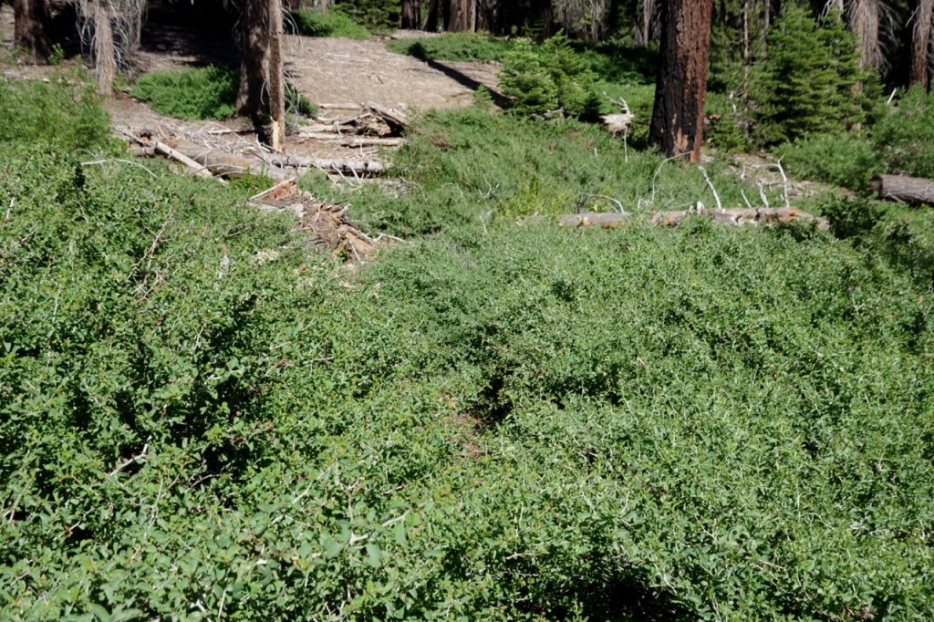
After some bushwhacking I made it back to the trail. The trail was good once again until after the turn off for Tehipite Valley. Thornbrush had completely overtaken the trail for long sections, and at times I was crawling through it, fighting for every step. The trail alternated between half decent, and nearly impassable for the next five miles. It was getting late as I neared the crest and prepared to turn off for Tehipite dome.
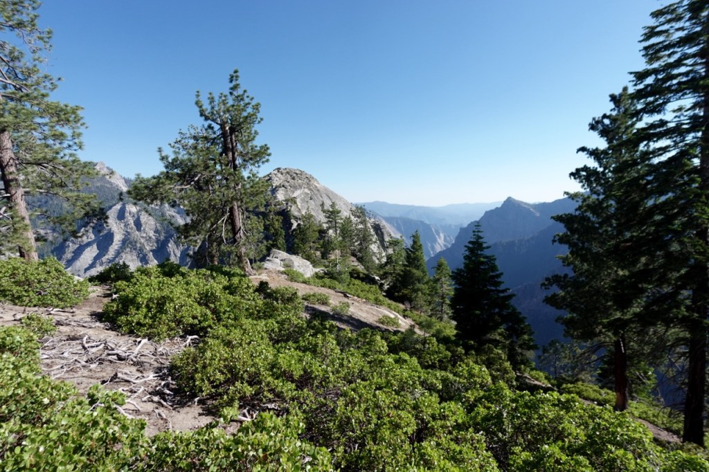
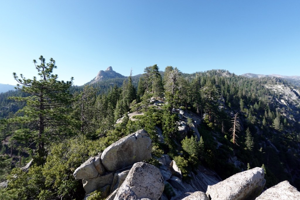
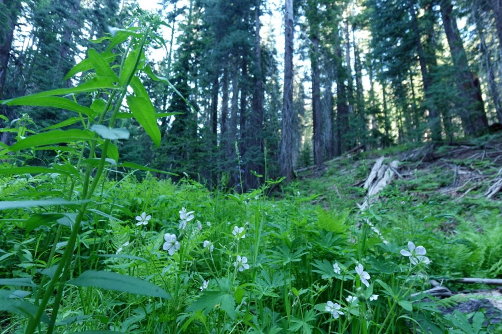
The last mile to Tehipite dome was storybook. A steep descent down a hillside. Crossing a babbling brook in a hidden moss filled forest. Contouring. Climbing a little bit, and then emerging on a narrow ridge. A shining path presented itself towards the great temple. A staircase into the sky, unfurled in front of me. The dome lay in the middle of a grand valley. The Gorge of Despair, looked so close you could almost touch. Reality though requires a 4,000 foot descent and an impossible crossing of the mighty Middle Fork of the Kings River.
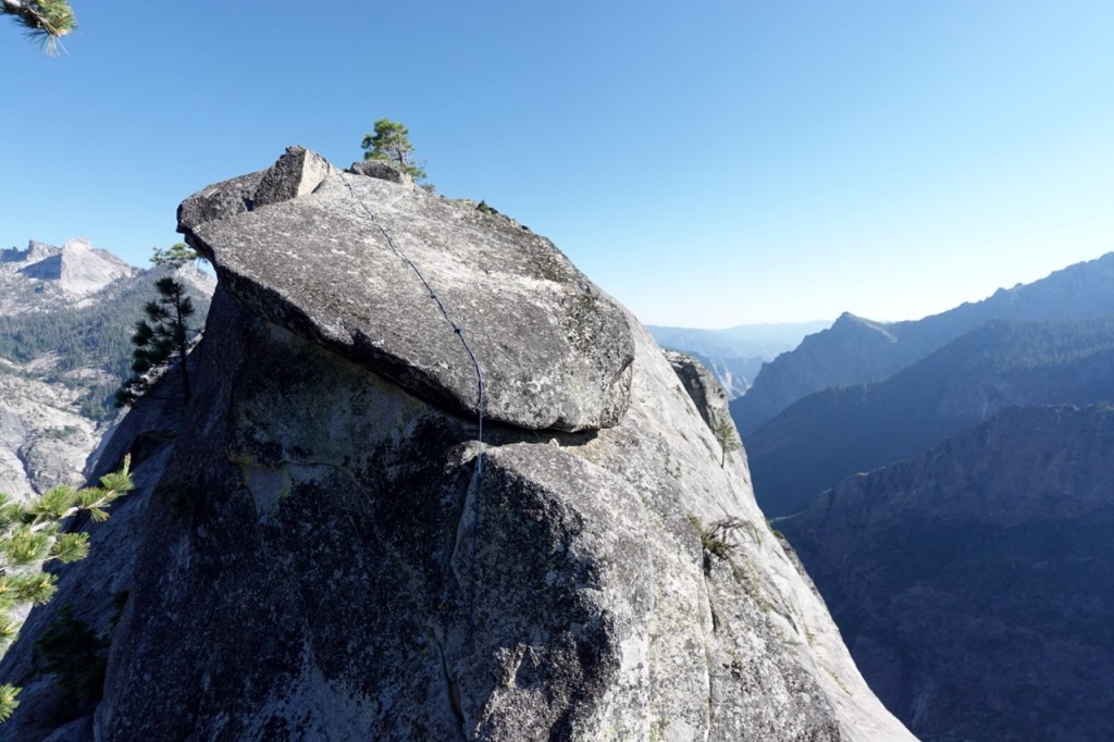
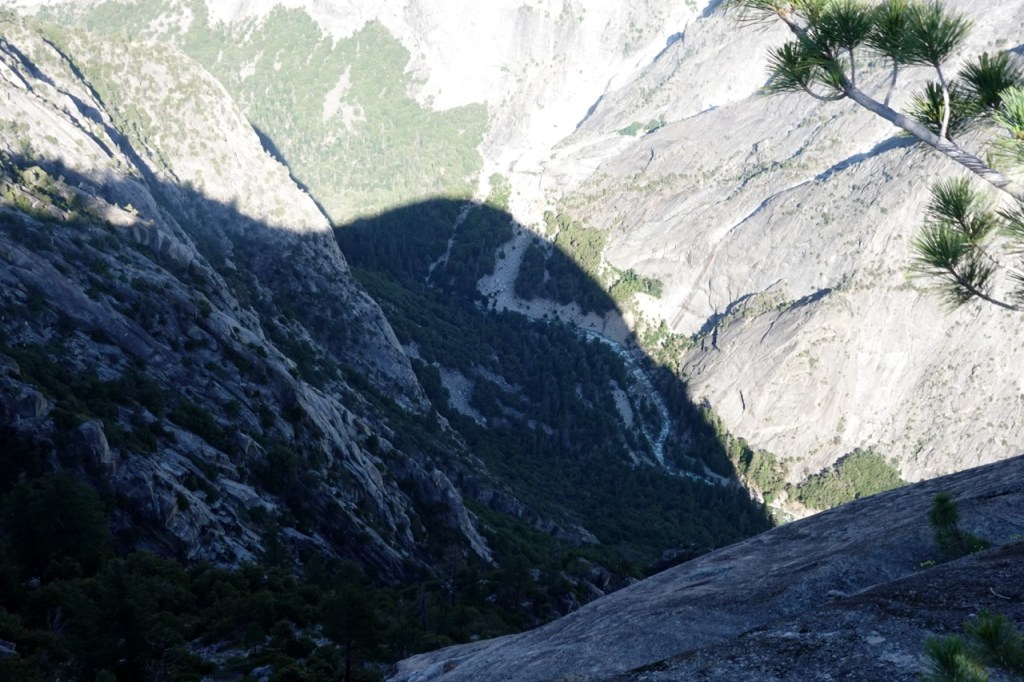
I made the committing third class move onto the beautiful dome. From there, it was easy class two to the summit. I took it all in. The remote location, the incredible views from my perch. I peered over the edge. Thousands of feet of cliffs, and then far below I saw the river rushing.
Finally, I had to head back. I reversed the third class move. I did not pull on the sling someone had left, but I was glad it was there. Through the fairytale forest. Up the steep climb, and back to my backpack.
I continued along the trail. Bushy at times, sometimes followable. I found a beautiful campsite perched high above it all.
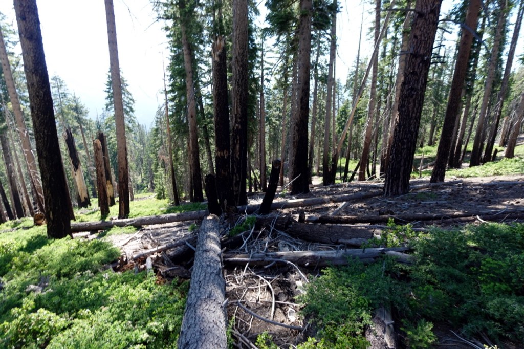
The next day, I almost immediately lost the trail. I headed down into Blue Canyon. The trail was pretty much non-existent through there. I would later read online that this trail used to be well maintained by horse packing companies. I saw no sign of that. Blowdowns everywhere. Thick bush. This place felt truly wild. The kind of place where I’d expect only a handful of people go a year. I pushed on.
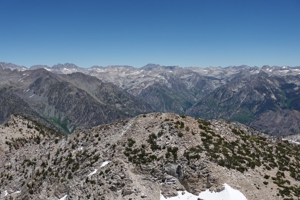
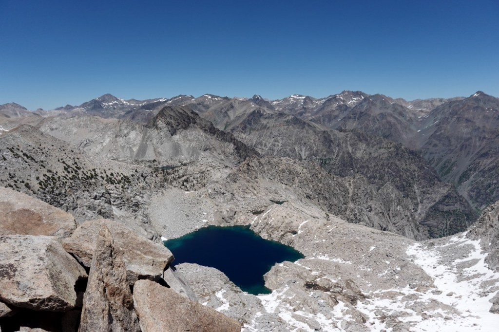
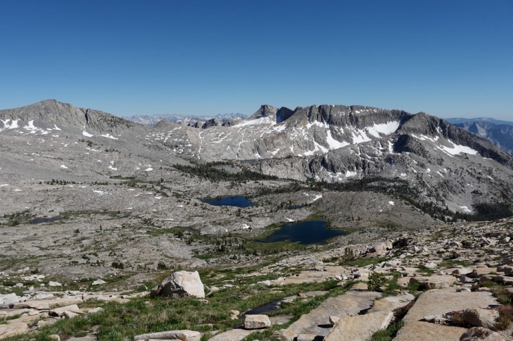
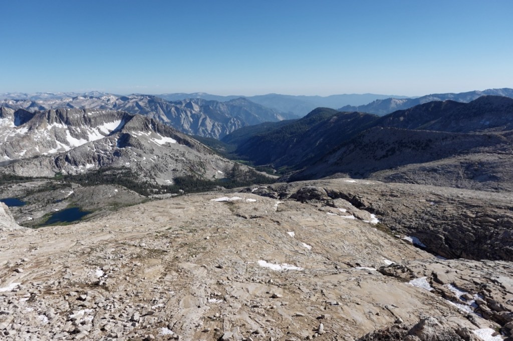
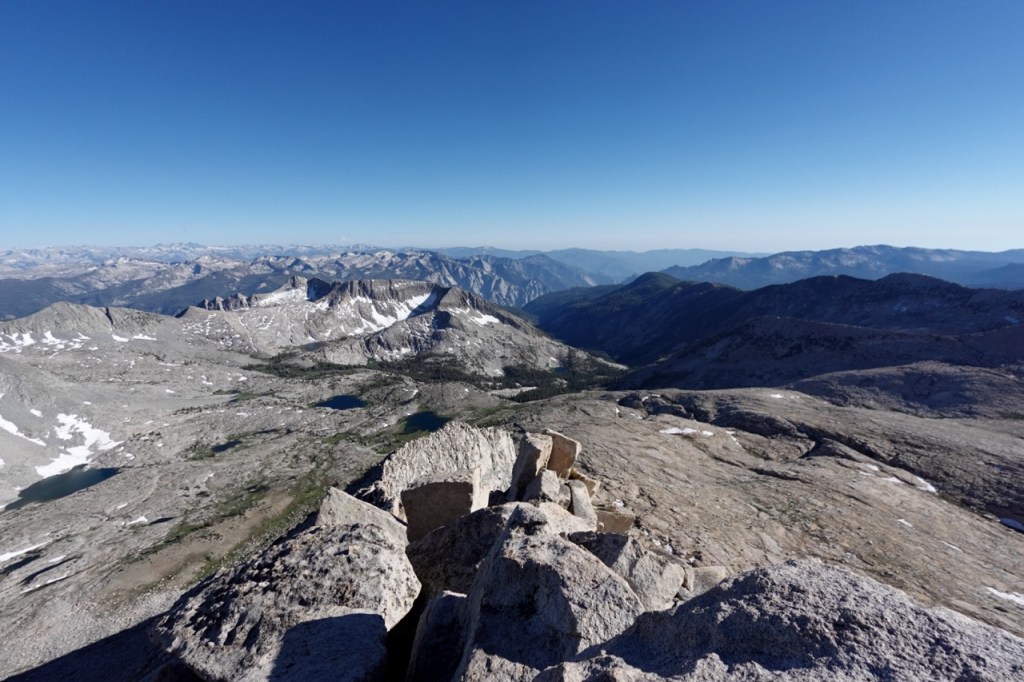
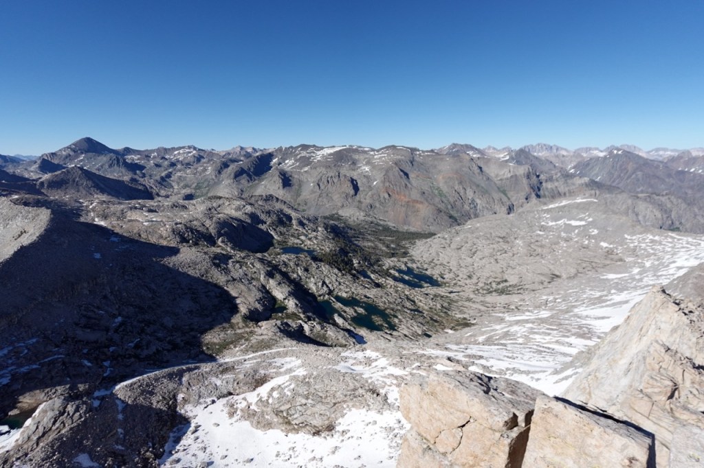
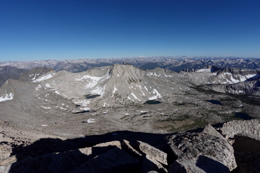
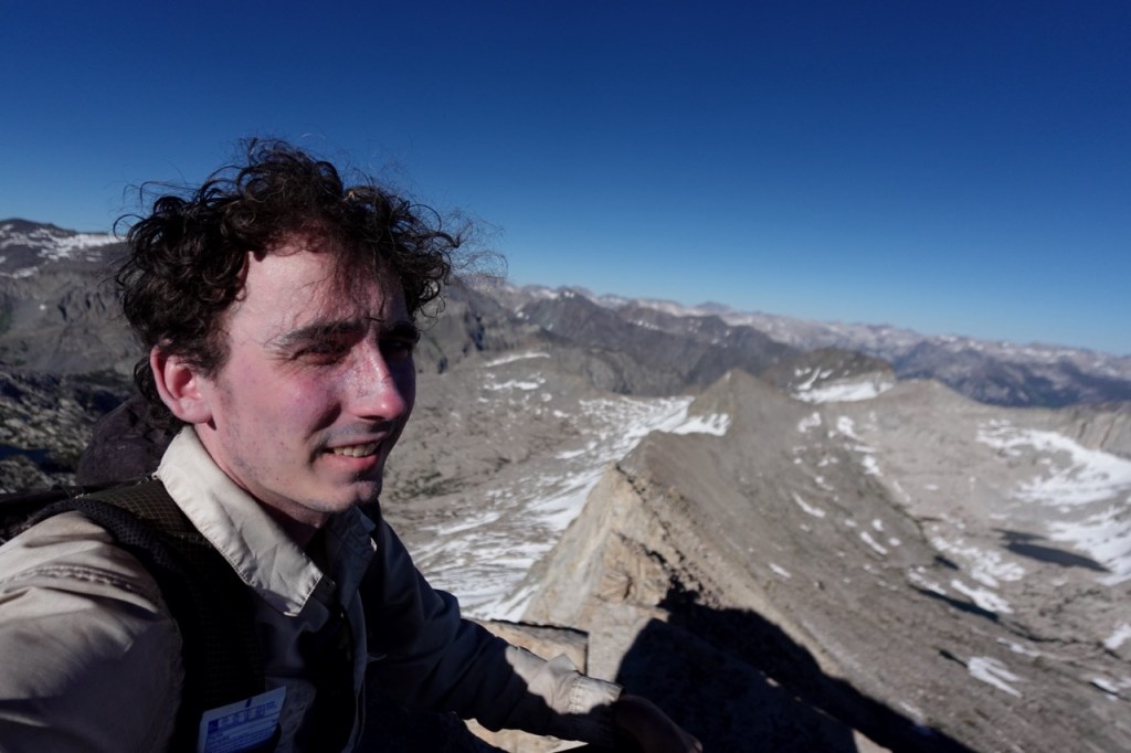
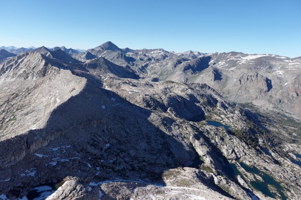
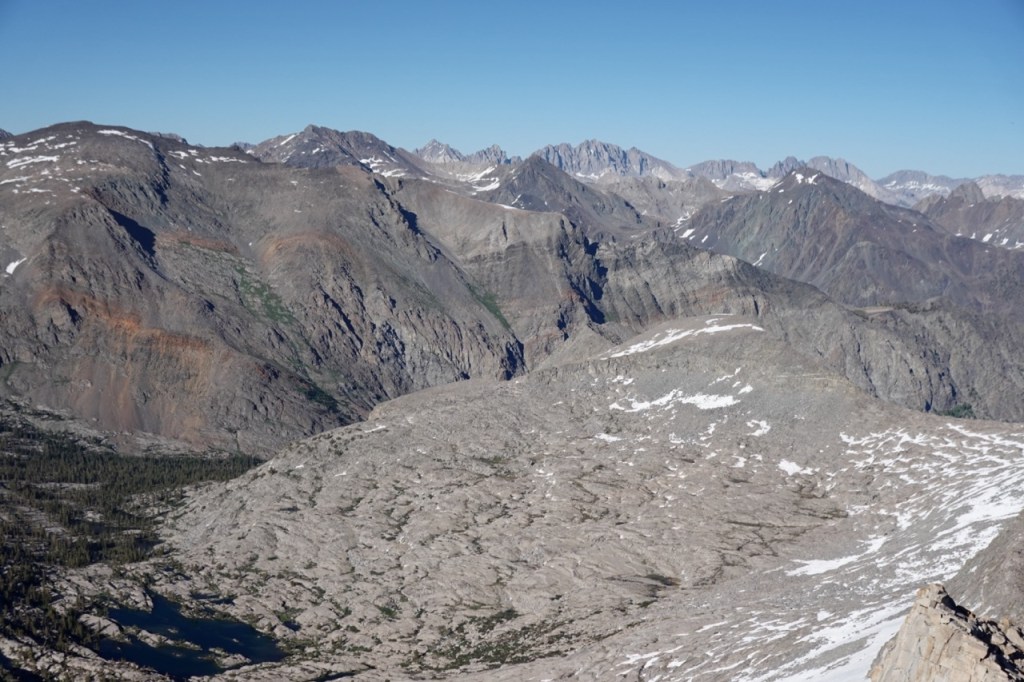
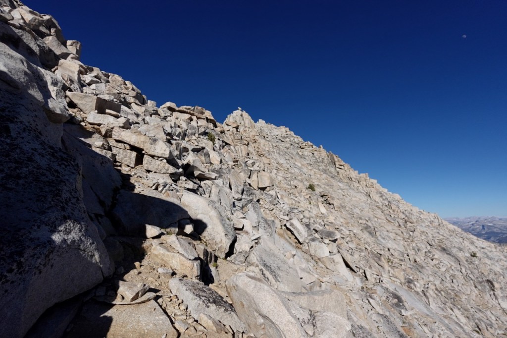
I turned out of the canyon and up a steep hillside towards Tunemah Peak. The sun began to beat down on me now, as it would for the rest of the trip. I wished I had my hat. Slowly but surely, I made my way to Tunemah peak. One of the most remote peaks on the whole SPS list. The views were beautiful in all directions. The Middle Fork of the Kings. The Palisades. Goddard Creek. The Enchanted Gorge.
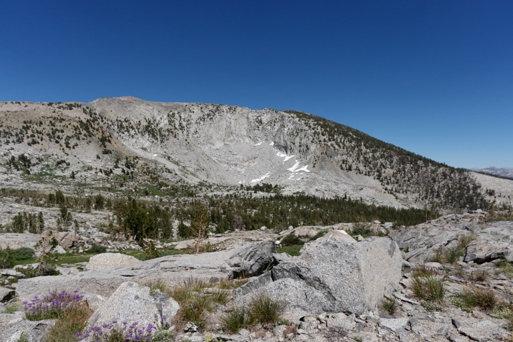
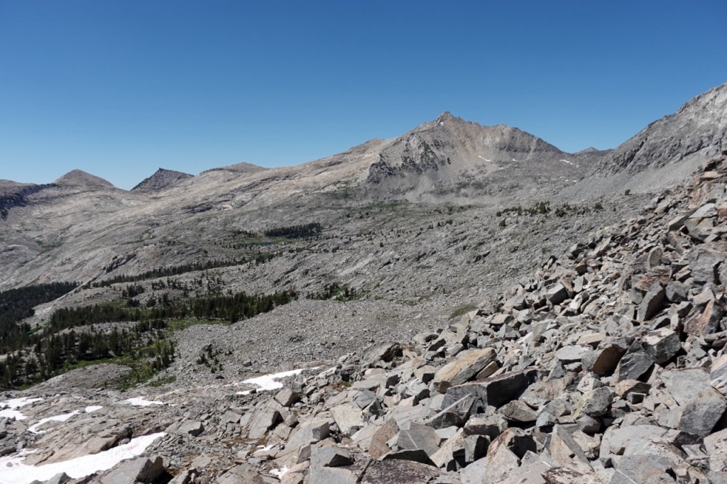
I still had a long ways to go. Up and over a pass towards Finger peak. Across two large open basins in the heat of the afternoon. I would walk for 30 min, and take refuge under a boulder for five minutes to cool off.
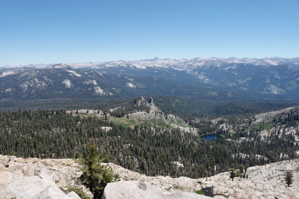
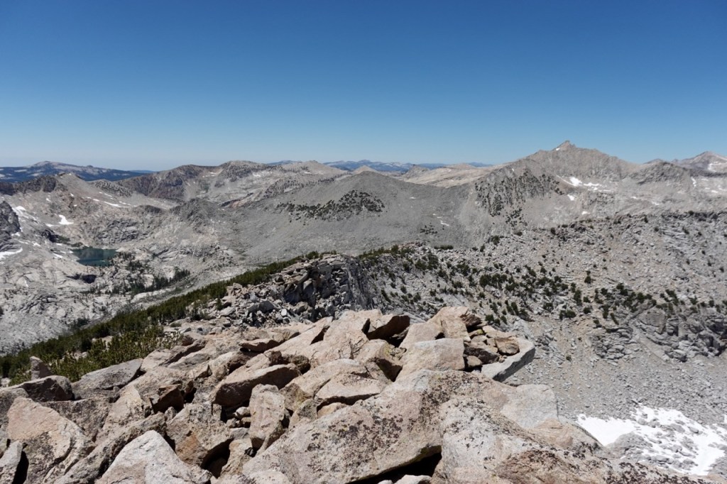
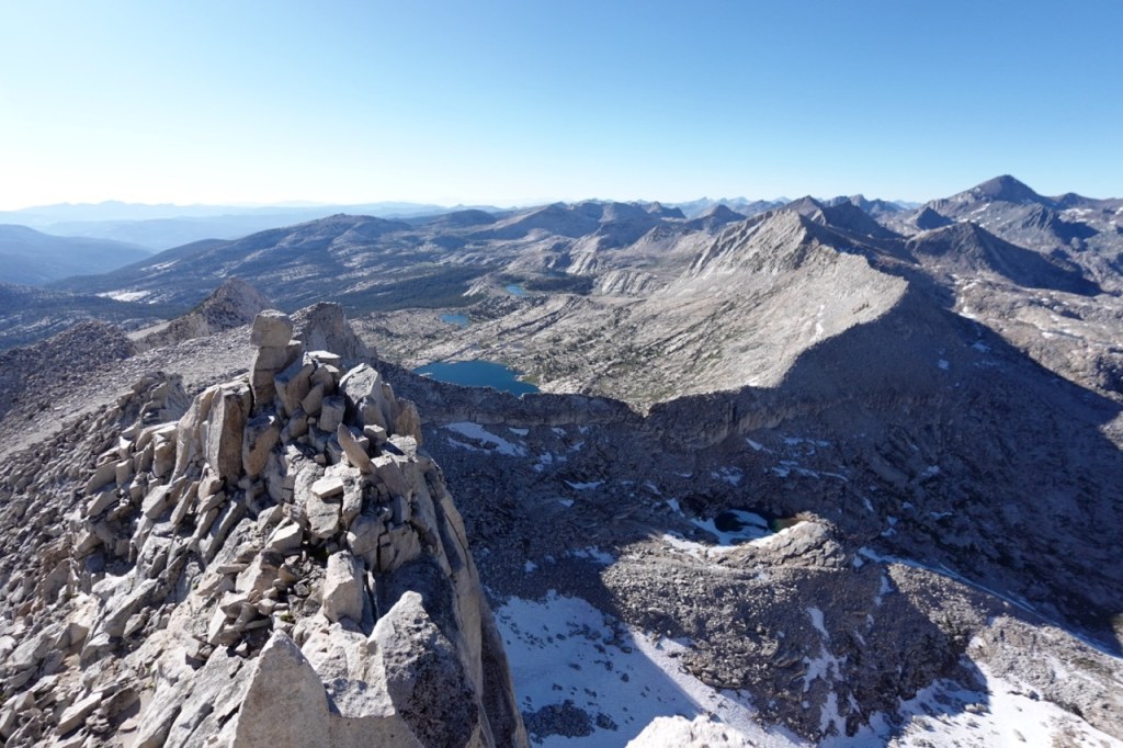
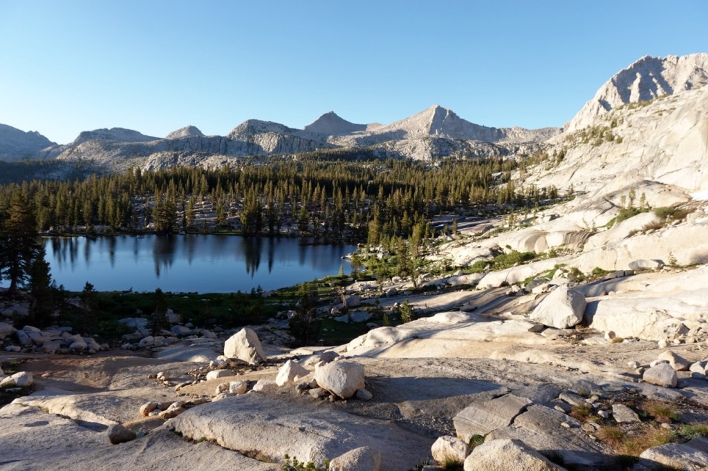
Finger peak was stunning as well. Panoramic views. The remoteness was palpable. As the sun set, descended down the far side and down towards the Solomon’s Trail. I found a campsite well down amongst the trees.
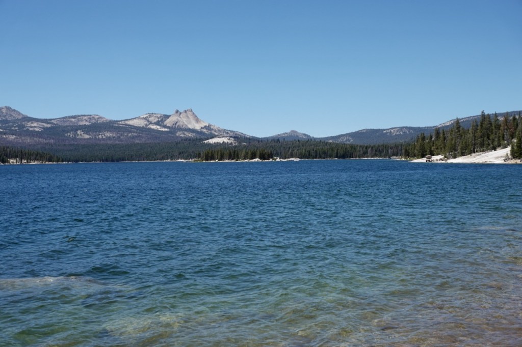
On the final day, I made my way along the Solomons Trail, surprised to see no one all morning. Finally, in those last few miles, I saw the first people of the trip. I took a swim in Courtwright, and hiked out to the road. I had considered hiking the long way around the lake to section hike a bit more of the Solomon’s trail, but I was nearly out of food and pretty wrecked from the trip.
I stuck my thumb out on the road which seemed to have no traffic. I walked for about an hour, and had fully resigned myself to walking the full 18 miles on the road, when a car stopped and picked me up. An ER doc down in Fresno took me to the junction. “I hope I don’t see you at the ER one day”, I told him as I left. Almost immediately a Mexican family, infants and all, picked me up and drove me down to Wishon. I walked off towards the Rancheria Trailhead. Finally, a lumberjack picked me up in his 60’s era jeep, and drove me nearly to my car.
I walked the last mile in awe of the solitude and majesty of this remote area. I vowed to return soon to explore Tehipite Valley some more.