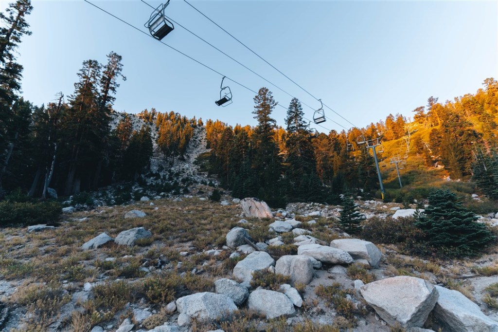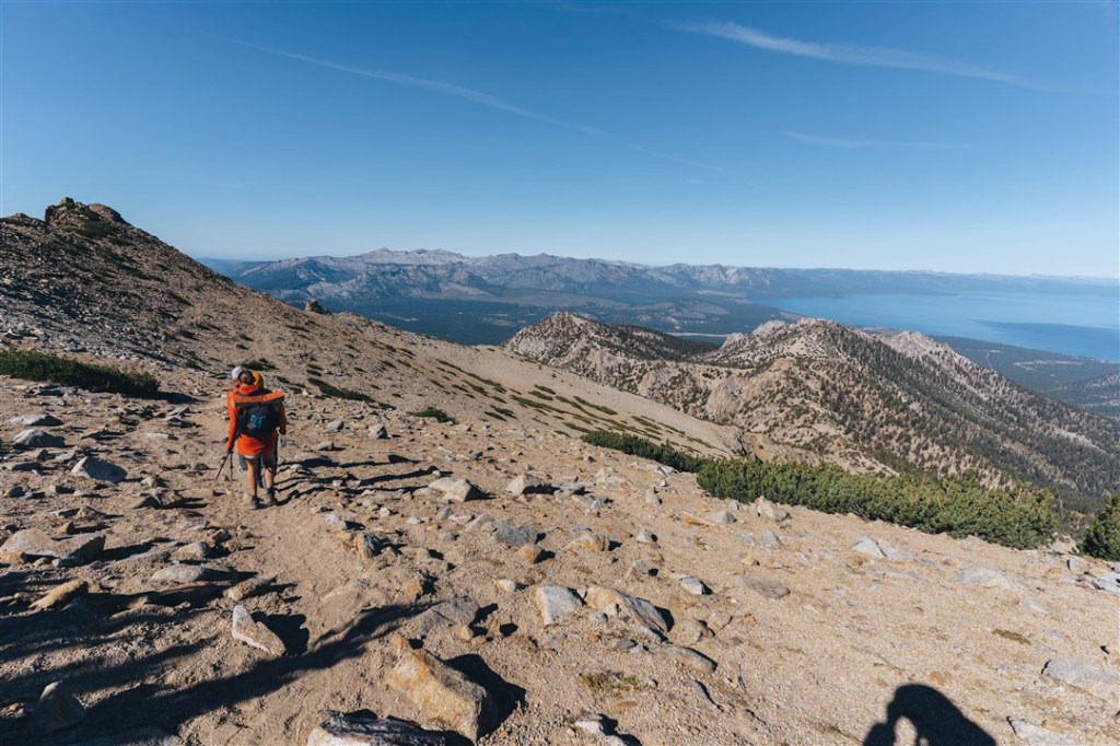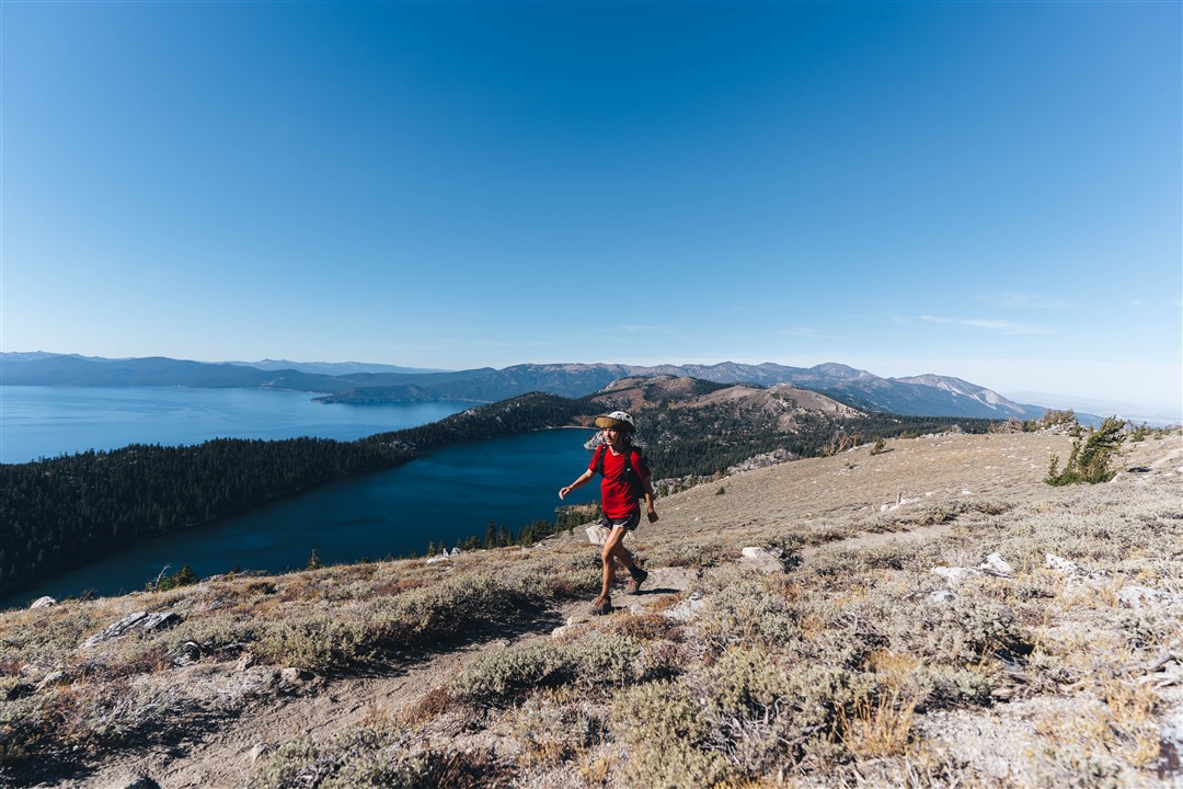
The Tahoe Rim Trail is a 170 mile or so trail that loops around Lake Tahoe. It offers beautiful views of the lake and the surrounding wilderness areas. I would highly recommend the trail for anyone looking for a short and logistically easy thru hike. The best way to get water info and trail info is on the Tahoe Rim Trail Association’s Website: https://tahoerimtrail.org/maps-trail-info/
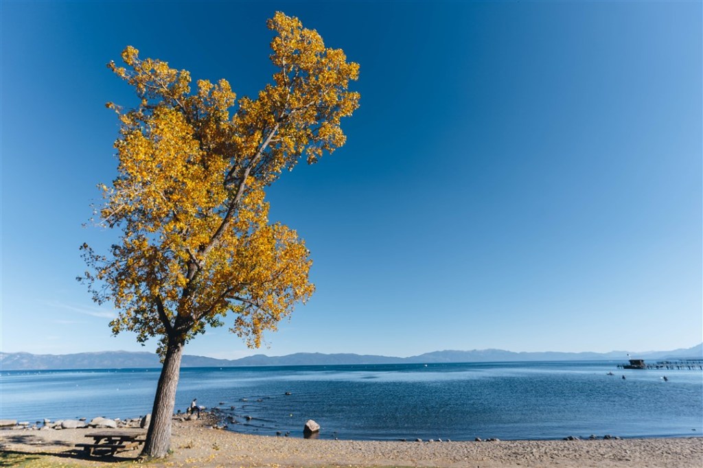
The trail goes directly through Tahoe City which has a large grocery store. If one takes the bus from South Lake Tahoe to Kingsbury Grade, one could do a complete thru hike with no hitchhiking and entirely on public transit. If you do stop in Tahoe city, I’d highly recommend stopping by the commons beach. Overall, the trail is very consistently signed, it felt like I was on a guided hike!

I completed the Tahoe Rim Trail over 3 visits to the Tahoe Basin. However, I would love to thru hike it one day!
- the PCT section while hiking the PCT
- Tahoe City to Mt. Rose Summit
- Various sections during a week staying at my friend John’s house