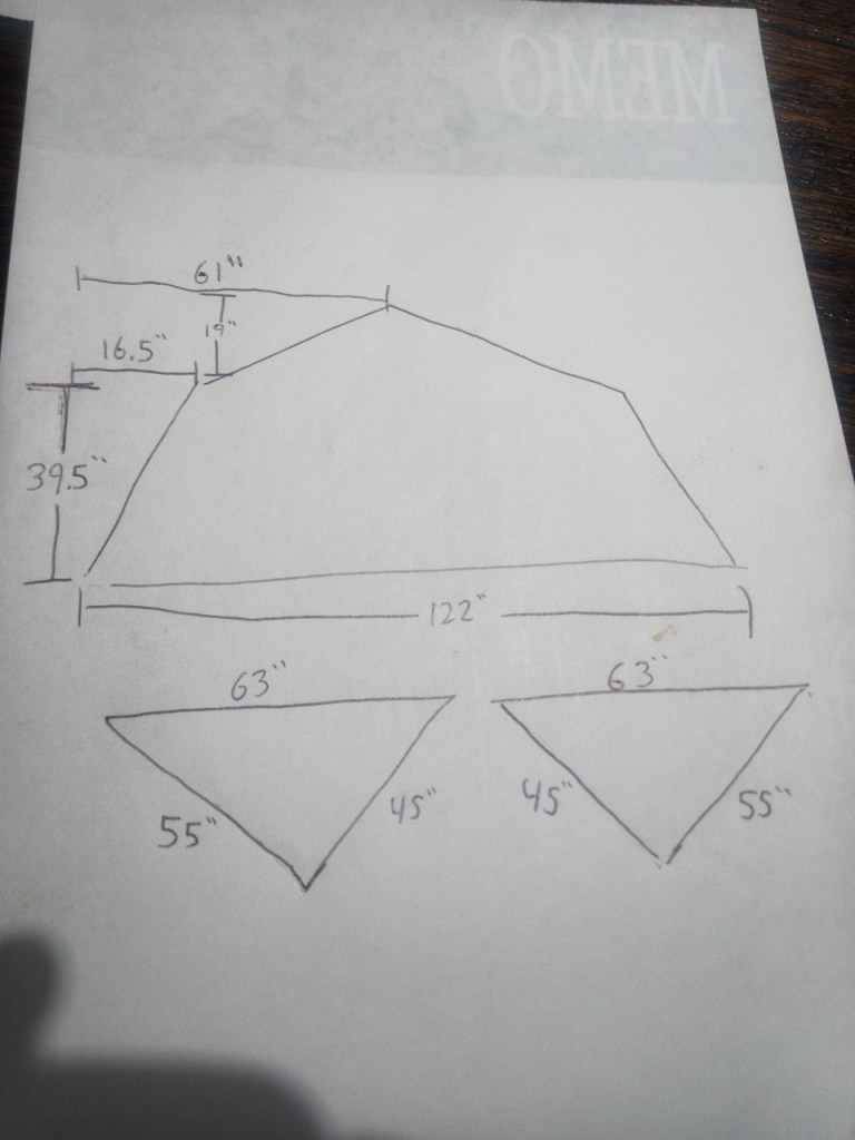
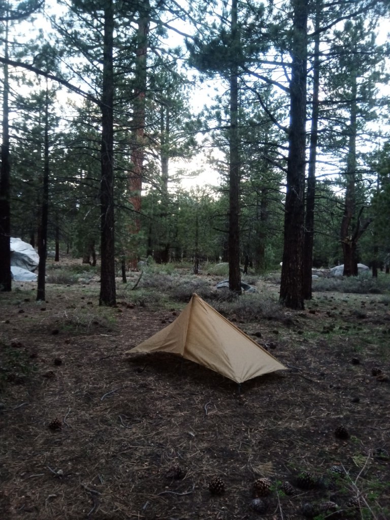
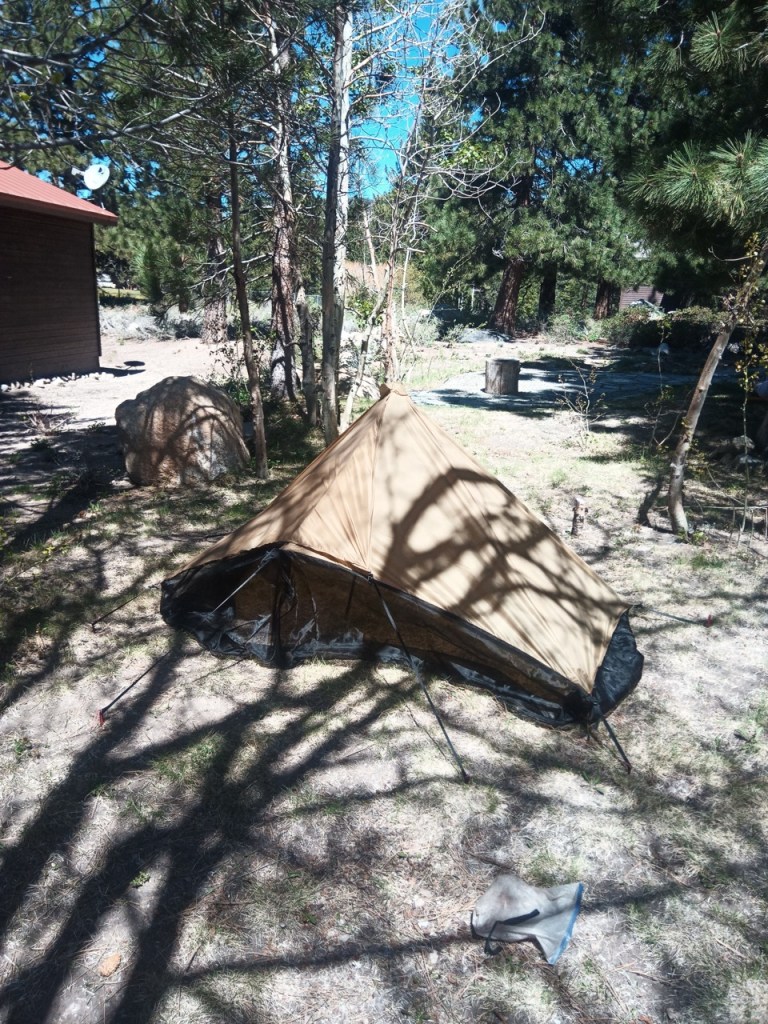
After making a quilt in 2024, and a backpack in 2025, I decided to go for a tarp/tent to complete the big three. My main plan was to recreate my trusty Deschutes, while adding some bug netting and making some changes. I took some approximate measurements of my deschutes, as always though it is hard to get exact measurements of an already finished product.
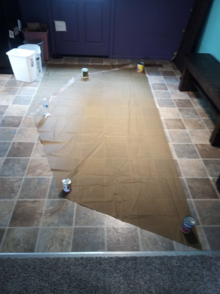
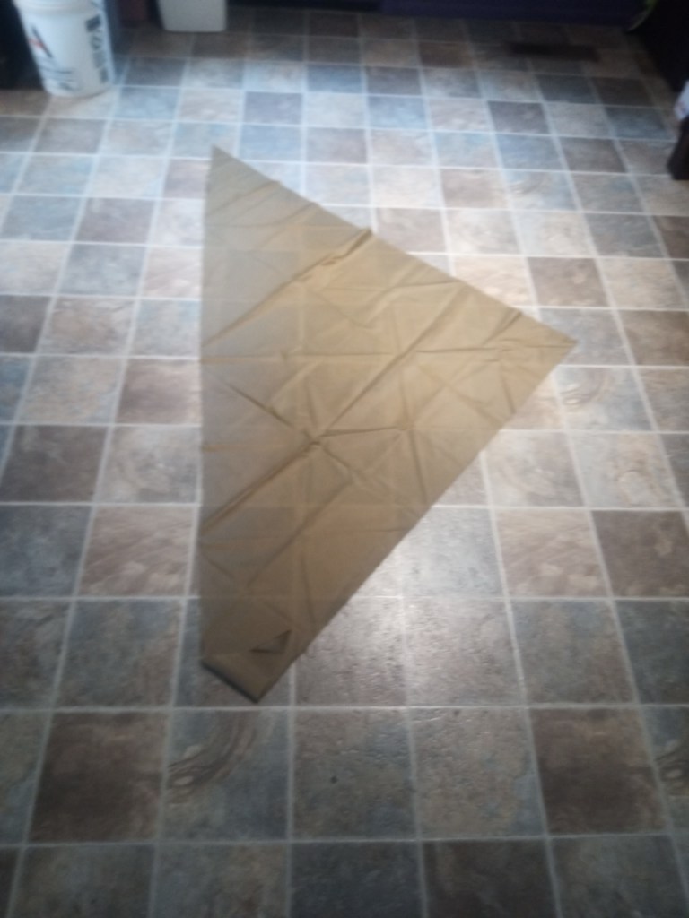
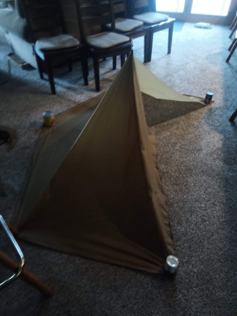
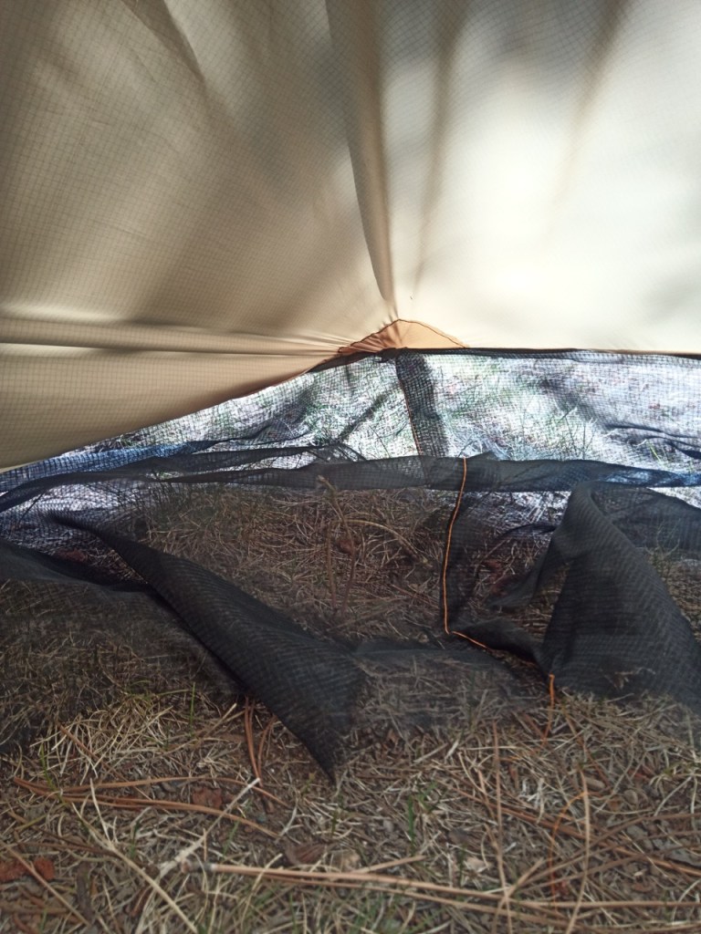
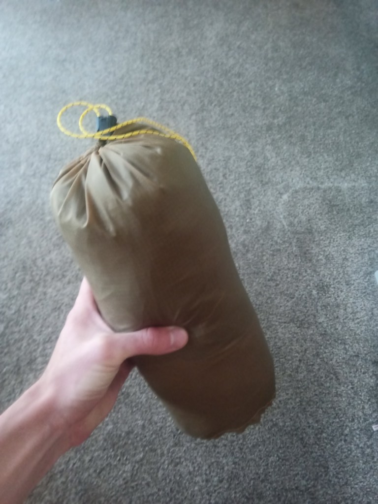
Approximate measurements of my main three pieces of my tarp.Laying out the material and making the initial cutsdoor piecefirst “pitch” in the living roomfirst outdoor pitchFirst pitch with bug net includedbug netting from the insideTarp complete and inside the stuff sack I made with some of the scrap.
Changes for next time:
make the tarp longer
Figure out a cleaner design for the door area. Maybe a zipper?
I parked my car at Towne Pass and set off into the windy desert. The wind howled relentlessly as I started up the ridge, but then mercifully died down a bit as I neared the top of Pinto Peak. My van shrunk in size to a mere speck as I climbed higher and higher.
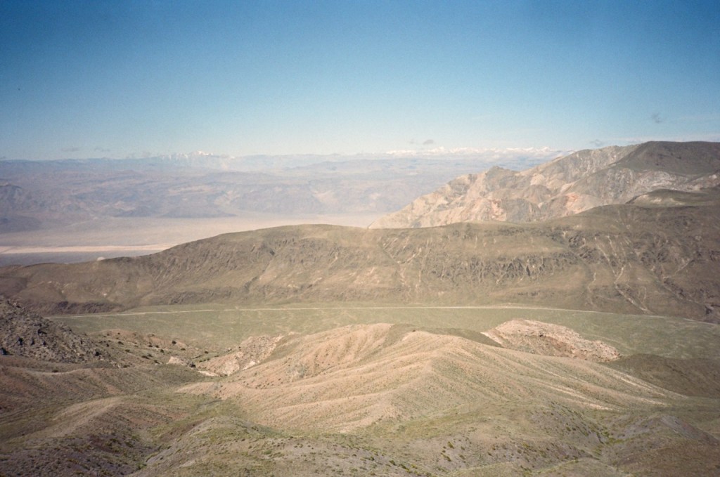
Pinto Peak provided beautiful views from its unique position in between the Cottonwoods and Panamints. Northern Death Valley unfurled below to the north, a great sea of sand. Complex canyons, looked like mere indentations in the great desert painting in front of me.
I continued along ridges towards the Harrisburg Flats area. Surprisingly, I found an old double track, which I followed most of the way. A little after midday, I got to the end of the off trail section and continued towards Aguereberry Point. I poked around Harrisburg a bit, and turned down Trail Canyon, beginning my long descent into Death Valley.
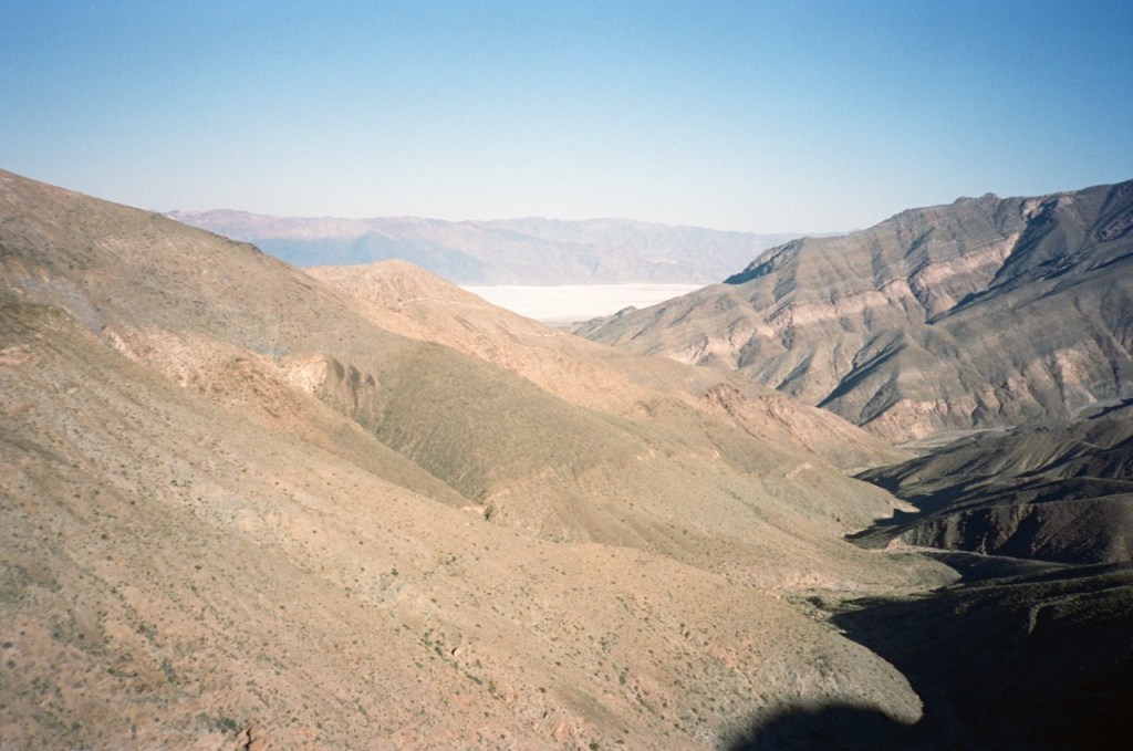
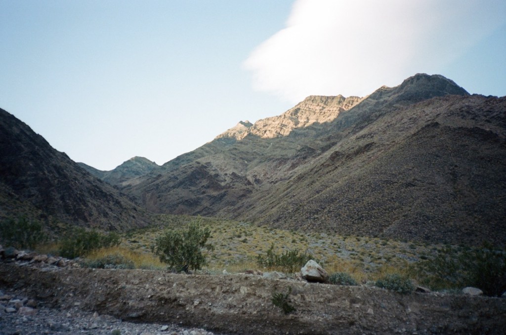
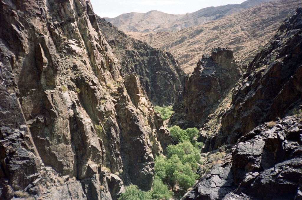
An old road wound its way steeply into the canyon, but a few washouts meant that this road has long been closed to vehicles. The sun was setting as I walked through the open wash, deeper into Trail Canyon.
It felt great to be back in Death Valley. There was nothing about this canyon in particular that had brought me back, I really just wanted to visit this beautiful park. Death Valley has given me so many great adventures, and it felt great to visit and reminisce.
I reached another road, which is technically open, but likely sees very little traffic due to the many obstructions. As the sun set, I found a flattish spot between two creosote bushes and settled in for the night.
Day 2
The wind made for a restless night of sleep, but I knew that I would be back in my van that nightj, so I didn’t worry too much. The day’s miles were all be flat or slightly downhill, and they went quickly. Soon, I was out of the canyon, and speeding down the alluvial fan. The wind picked back up, and I soaked in the expansive views of Death Valley.
The last few miles on Westside Road came and went, and I stuck out my thumb upon reaching the paved highway. I had landed in an awkward spot where most of the northbound tourists were likely on the alternate Artist’s Palette Drive instead, so I walked a little north towards the junction.
A few hundred meters before the junction, a ranger pulled over on the dirt shoulder in front of me. He offered me a deal. If I gave him my license and a clear background check came back, he would give me a lift to Furnace Creek. I agreed, and after a short wait, I was loading into the caged in backseat.
“So what exactly was the plan?” the ranger asked as if me hitchhiking on the side of the road could only be the result of some calamity. Not admitting that hitchhiking was the plan all along, I replied that I was tired from the wind and was heading back to my car. He told me that since most of the park’s visitors stuck to the paved roads, rangers were required to follow suit. I thanked the kind ranger as he dropped me off near the park’s main visitor center.
I sat in the shade for a bit and refilled my water. After the nice break, I stuck my thumb out again and immediately got a ride to Stovepipe. The two women who picked me up had hitchhiked quite a bit around Argentina and Chile, and were excited to pick up a fellow hitchhiker.
I bid them farewell, as they were heading to Mosaic Canyon. They offered to drive me to Towne, but I assured them I would get another ride soon. Sure enough, a young couple in a small van soon arrived to drive me to Emigrant. Once again, they offered to run me up to Towne, but I again assured them I would soon get another ride.
Even a little higher up, the temperature was already pleasantly cooler. The hitching sure is good in Death Valley, especially on the main roads. A few minutes later, four Guatemalans picked me up and drove me back to my car. We conversed in Spanish about their trip and life in Guatemala.
The trip was over far too quickly. I got the taste of Death Valley that I was looking for though, and began to head for the cooler temperatures of the Inyos and Sierra. I camped the next night in Panamint Valley.
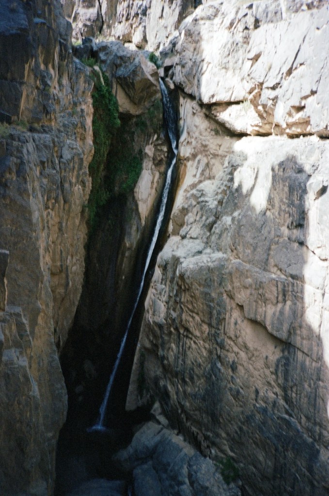
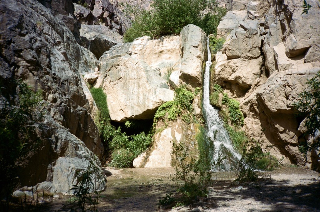
On each visit, I try to stop and see one or two of the more popular tourist hot spots, slowly ticking them off. On my way out, I stopped by Darwin Falls. The road having washed out, most of the tourists were scared off by the now 7 miles hike. I had the beautiful waterfalls to myself and was once again blown away by all of the hidden details in this beautiful park.
As soon as John and I were turned around on our Inyo Traverse attempt back in October, I contacted Matt, and we began to plan for revenge in the spring.
I had a day to spare between Thor and the Inyos, so I slowly drove north through the Owens Valley, topping up on water and supplies. I dropped off a few gallons of water on 168, and then drove up Big Pine-Death Valley Road to a camp spot Matt and I had picked out a few weeks prior.
I had the whole day to lounge around, eat and prepare for the trip. There is nothing like the peace of a seldom used pullout tucked away from the noise of cell service and civilization. Around sunset Matt arrived, and we made final plans for the next day.
Day 1
The first day, we began by walking down a lightly used dirt road. We passed a vanlife influencer sleeping in their RV parked off the pavement, with a huge hashtag tagged across their car. They would be the last person we would see for the next two days.
After crossing over the first initial ridge, we descended down to Sawabu flat. The flat dirt road walking passed quickly, and soon we found ourselves at the based of the mighty Wacuoba. The 3,000 ft climb straight up Wacuoba was slow going with 8L of water each in our packs. We made quick work of the climb though, finding an ideal route to avoid brush and snow.
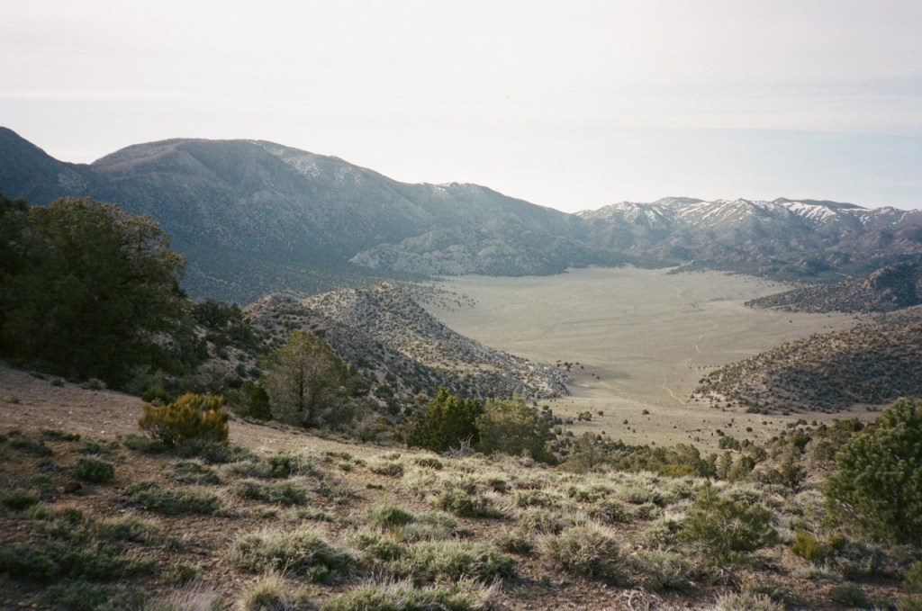
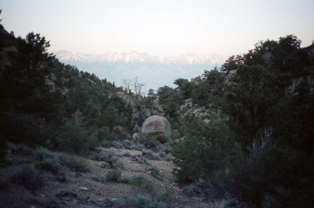
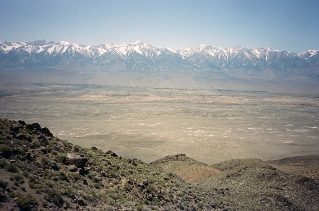
We took in the panoramic views on the summit and marveled at the view. Our whole route, the Sierra Nevada Mountains, and Saline Valley all unfurled across the horizon. From there, the going was very good for quite a while. We surfed along wide open ridge, unimpeded by brush. For a bit, we even followed an old 4by4 trail.
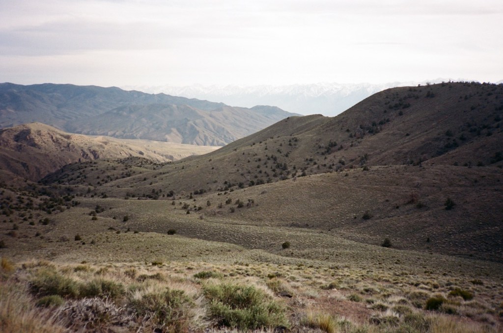
Even after leaving the 4by4 track, the going was quite good, much better than the rock fields I knew were coming. At about 3pm, we reached the turnoff for Seephole spring. This time, I did not go bushwhacking in the dark to look for the salty water. Instead, Matt and I continued on, and reversed my steps from last time. I knew a tough section was coming, but I was prepared.
The going started off good. Wide open drainages, with nothing but sagebrush to stand in our way. We began to huge descent, and were treated to sweeping views of the Inyos to our south. Finally, we reached the rocky hillside. From a distance the rocks beckoned like the sirens — passing through looked easy from a far. I took Matt through one to show him and remind myself how hard it was. As we got closer, the rocks got bigger and bigger. Gigantic 20 foot boulders strewn about, creating many dangerous crevices and crannies in between.
Luckily, we knew better than to contour in this mess like last time. We gladly gave up elevation, and traded it for much smoother travel. In a fraction of the time of last time, we were passed the whole mess, and making our way along the series of miraculous benches. We set up camp in one of these washes and braced for the cold night ahead.
Day 2
The day started off smoothly. We were energized by our tremendous progress on day one. Once we got back on the ridge though, things started to go south. We just weren’t quite finding as good of lines as John and I found. Everything was slightly bushier and slightly more tedious. This all compounded in a navigational snafu at the junction with the Pat Keyes. Somehow, we just couldn’t find the trail and wasted a good hour thwacking about. At last, we found the trail, and made mostly smooth work of it. The altitude ticked down, as the temperature crept up. Soon we found ourselves walking across the flat and straight ribbonlike roads in the Owens Valley.
Directly in front of Manzanar, we stuck our thumbs out, and after not too long, we got a ride all the way to Bishop. A weekend warrior was driving to meet his wife in Bishop, and graciously allowed us to come along for the ride. He dropped us off right on Main Street, and we treated ourselves to some Rolling Chef burritos.
We resupplied, and lazed about in the park. I enjoyed passing through the neighboring town on foot, without the confines and conveniences of a vehicle. Our friend Abraham drove us out into the valley near the Artesians, where we hung out for a bit before setting up camp.
Day 3
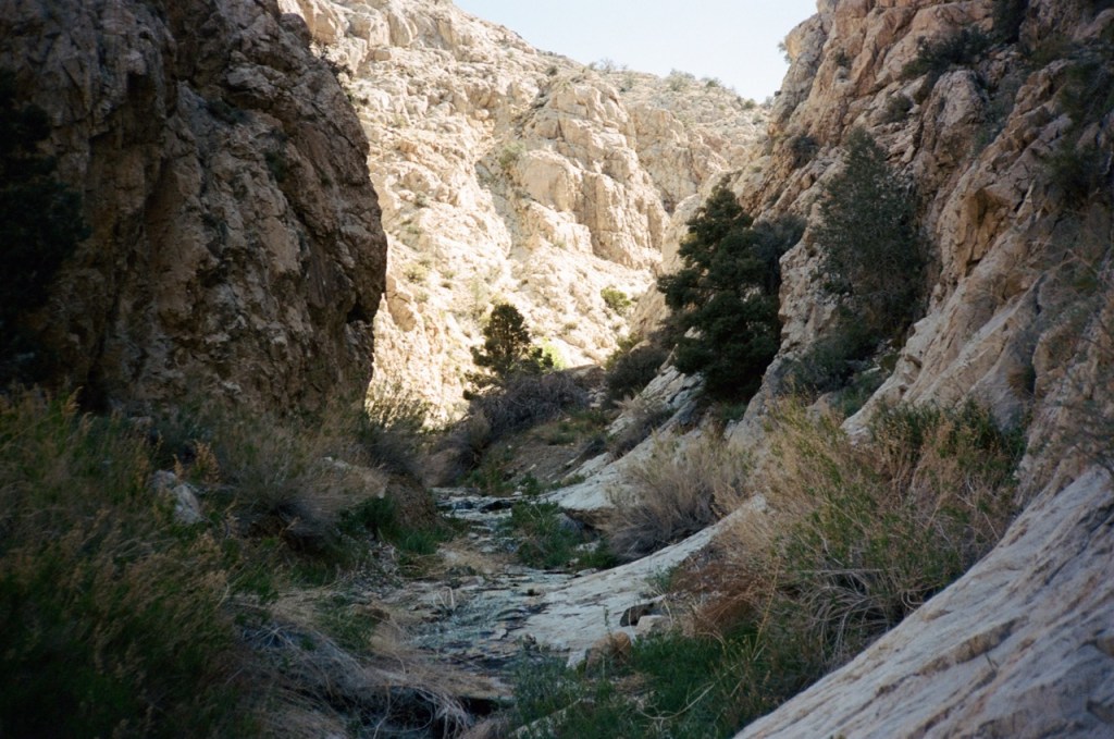
We both expected the second half of the trip to be mostly road walking, and much less interesting then the first half. We were treated to pleasant and unpleasant surprises. Everything went smoothly with our exit from the Owens Valley. We treaded across seldom used dirt roads, and up an alluvial fan. Upon turning off the dirt road, we were surprised to find water in the canyon. This quickly turned from oh, a pleasant surprise, to uh oh, an imminent concern.
Anytime there is water in the desert, thick brush inevitably grows in around the source. The canyon quickly became almost impassable. At times we trundled through the brush at a few feet a minute. Sometimes we climbed high on the canyon walls, but turned back once the going got too sketchy and loose. A few hours later, we finally made it passed the culprit spring, and back into dry wash.
The going was good from there. Dirt roads, our water cache, more dirt roads. Finally, the pleasant surprise, the dirt roads gave way to lightly used single track. We were up high in the Inyos, walking single-track, without a single motorized vehicle in sight. The views were expansive. Deep Springs Valley was far below us to our left, and The Sierra dominated the horizon to our right. As the sun was setting, we reminisced on all of the trips we had done together. We counted them up, and arrived at a staggering 50 trips over the past decade. It was bittersweet that this would likely be our last backpacking trip for a few years, but we took solace in the fact that we would hopefully keep it going into old age.
Day 4
We had only nine miles left, and they were all on dirt roads. Before long, we were back at our cars, having come full circle. The Inyos never fail to disappoint with solitude, rugged terrain, and remote mountains. I have now connected my footsteps through the range from Bishop to Lone Pine, but I will surely find a reason to return soon.