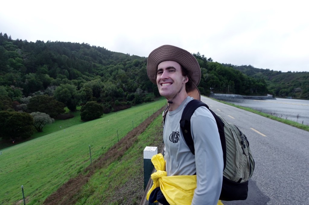
Categories
Uncategorized

Ultralight Tarp/Tent

After making a quilt in 2024, and a backpack in 2025, I decided to go for a tarp/tent to complete the big three. My main plan was to recreate my trusty Deschutes, while adding some bug netting and making some changes. I took some approximate measurements of my deschutes, as always though it is hard to get exact measurements of an already finished product.

For this project, I used the following materials:

5yds of 1.1 oz Silpoly

4yds of 0.7 oz MONOLITE™ Ripstop Nylon Mesh

Gutermann MARA 70 Thread

Dragon Tension Locks

Some extra webbing I had from previous projects

1 trekking pole

7 tent stakes

Approximate measurements of my main three pieces of my tarp.
Laying out the material and making the initial cuts
door piece
first “pitch” in the living room
first outdoor pitch
bug netting from the inside
Tarp complete and inside the stuff sack I made with some of the scrap.

Changes for next time:

  1. make the tarp longer
  2. Figure out a cleaner design for the door area. Maybe a zipper?
Categories
Uncategorized

Towne Pass to Death Valley

Day 1

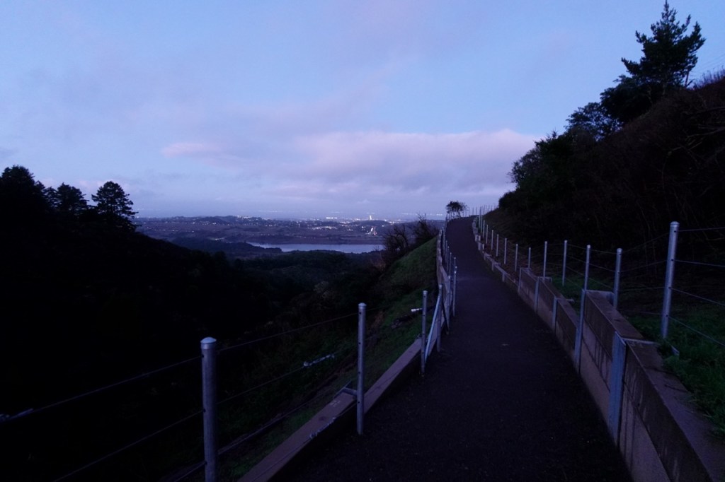
I parked my car at Towne Pass and set off into the windy desert. The wind howled relentlessly as I started up the ridge, but then mercifully died down a bit as I neared the top of Pinto Peak. My van shrunk in size to a mere speck as I climbed higher and higher.

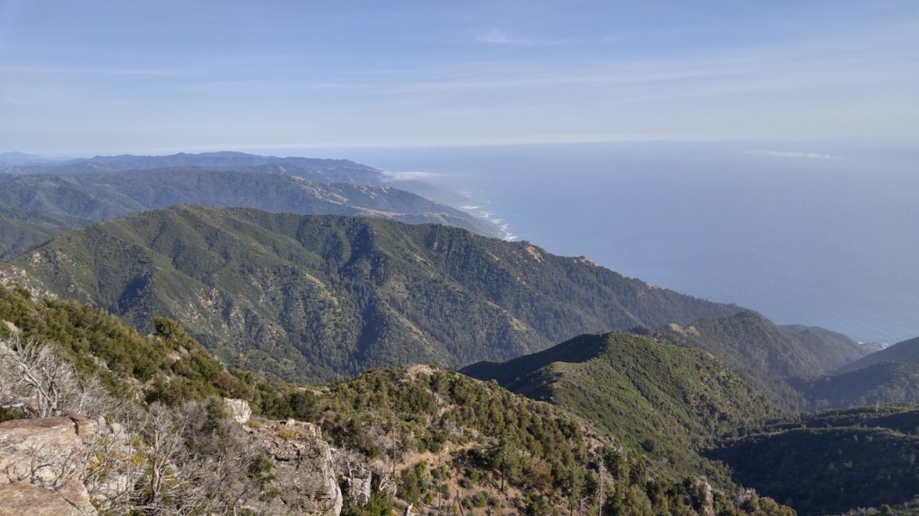
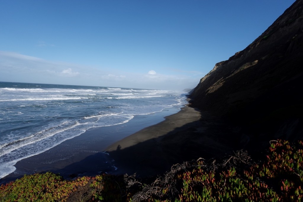
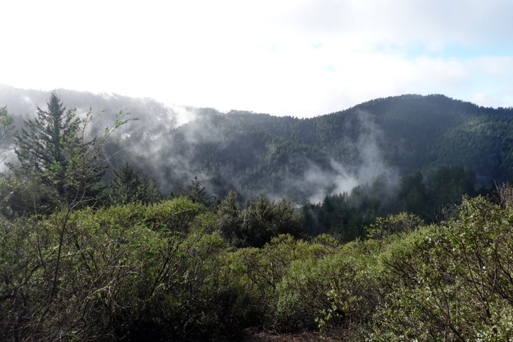
Pinto Peak provided beautiful views from its unique position in between the Cottonwoods and Panamints. Northern Death Valley unfurled below to the north, a great sea of sand. Complex canyons, looked like mere indentations in the great desert painting in front of me.

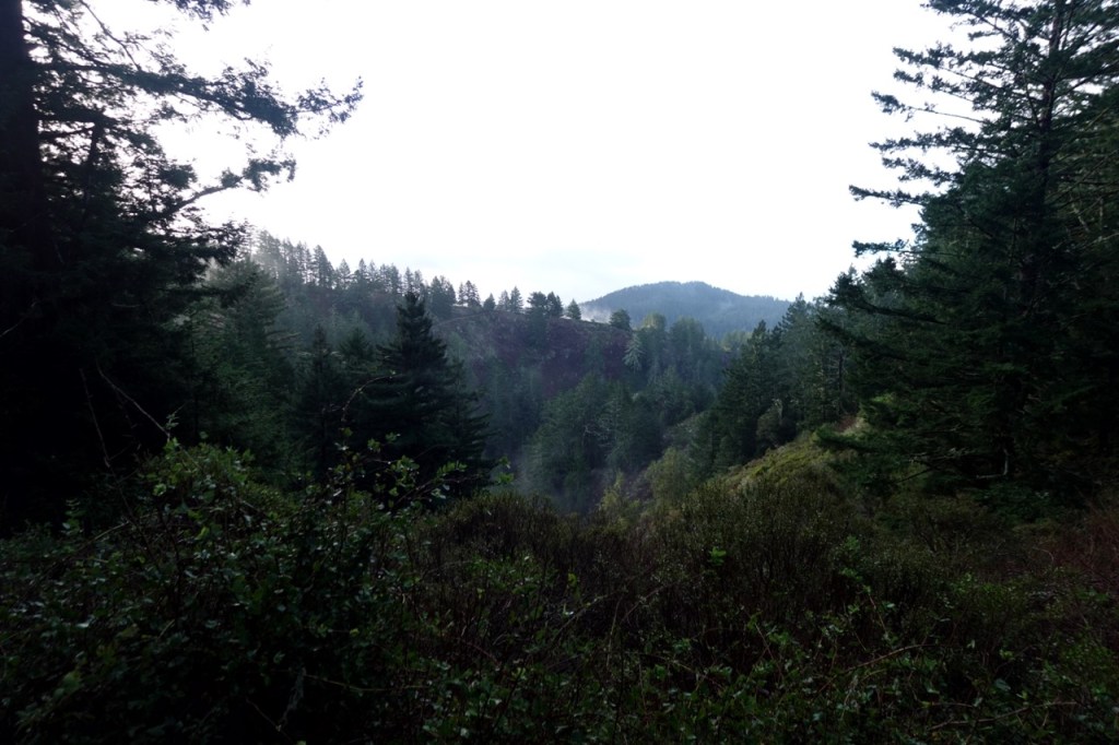
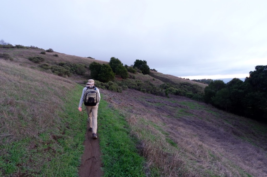
I continued along ridges towards the Harrisburg Flats area. Surprisingly, I found an old double track, which I followed most of the way. A little after midday, I got to the end of the off trail section and continued towards Aguereberry Point. I poked around Harrisburg a bit, and turned down Trail Canyon, beginning my long descent into Death Valley.

An old road wound its way steeply into the canyon, but a few washouts meant that this road has long been closed to vehicles. The sun was setting as I walked through the open wash, deeper into Trail Canyon.

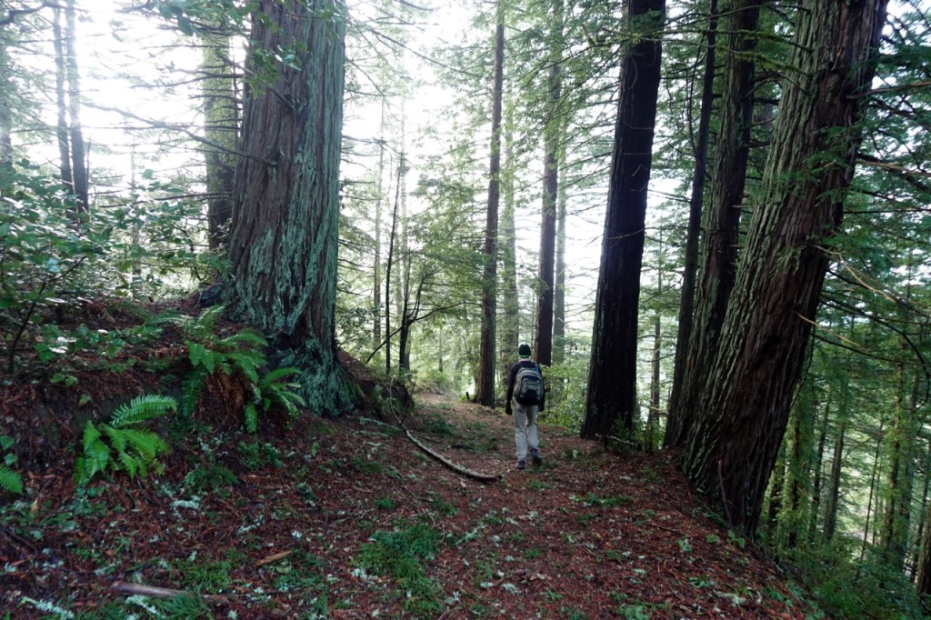
It felt great to be back in Death Valley. There was nothing about this canyon in particular that had brought me back, I really just wanted to visit this beautiful park. Death Valley has given me so many great adventures, and it felt great to visit and reminisce.

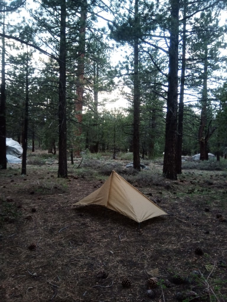
I reached another road, which is technically open, but likely sees very little traffic due to the many obstructions. As the sun set, I found a flattish spot between two creosote bushes and settled in for the night.

Day 2

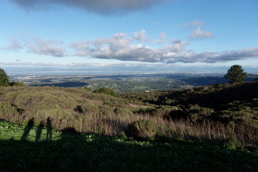
The wind made for a restless night of sleep, but I knew that I would be back in my van that nightj, so I didn’t worry too much. The day’s miles were all be flat or slightly downhill, and they went quickly. Soon, I was out of the canyon, and speeding down the alluvial fan. The wind picked back up, and I soaked in the expansive views of Death Valley.

The last few miles on Westside Road came and went, and I stuck out my thumb upon reaching the paved highway. I had landed in an awkward spot where most of the northbound tourists were likely on the alternate Artist’s Palette Drive instead, so I walked a little north towards the junction.

A few hundred meters before the junction, a ranger pulled over on the dirt shoulder in front of me. He offered me a deal. If I gave him my license and a clear background check came back, he would give me a lift to Furnace Creek. I agreed, and after a short wait, I was loading into the caged in backseat.

“So what exactly was the plan?” the ranger asked as if me hitchhiking on the side of the road could only be the result of some calamity. Not admitting that hitchhiking was the plan all along, I replied that I was tired from the wind and was heading back to my car. He told me that since most of the park’s visitors stuck to the paved roads, rangers were required to follow suit. I thanked the kind ranger as he dropped me off near the park’s main visitor center.

I sat in the shade for a bit and refilled my water. After the nice break, I stuck my thumb out again and immediately got a ride to Stovepipe. The two women who picked me up had hitchhiked quite a bit around Argentina and Chile, and were excited to pick up a fellow hitchhiker.

I bid them farewell, as they were heading to Mosaic Canyon. They offered to drive me to Towne, but I assured them I would get another ride soon. Sure enough, a young couple in a small van soon arrived to drive me to Emigrant. Once again, they offered to run me up to Towne, but I again assured them I would soon get another ride.

Even a little higher up, the temperature was already pleasantly cooler. The hitching sure is good in Death Valley, especially on the main roads. A few minutes later, four Guatemalans picked me up and drove me back to my car. We conversed in Spanish about their trip and life in Guatemala.

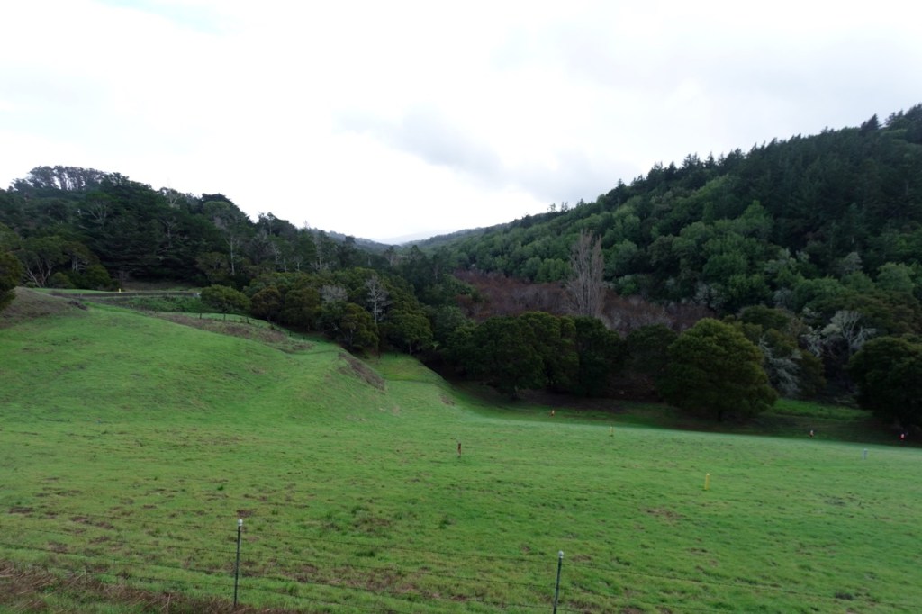
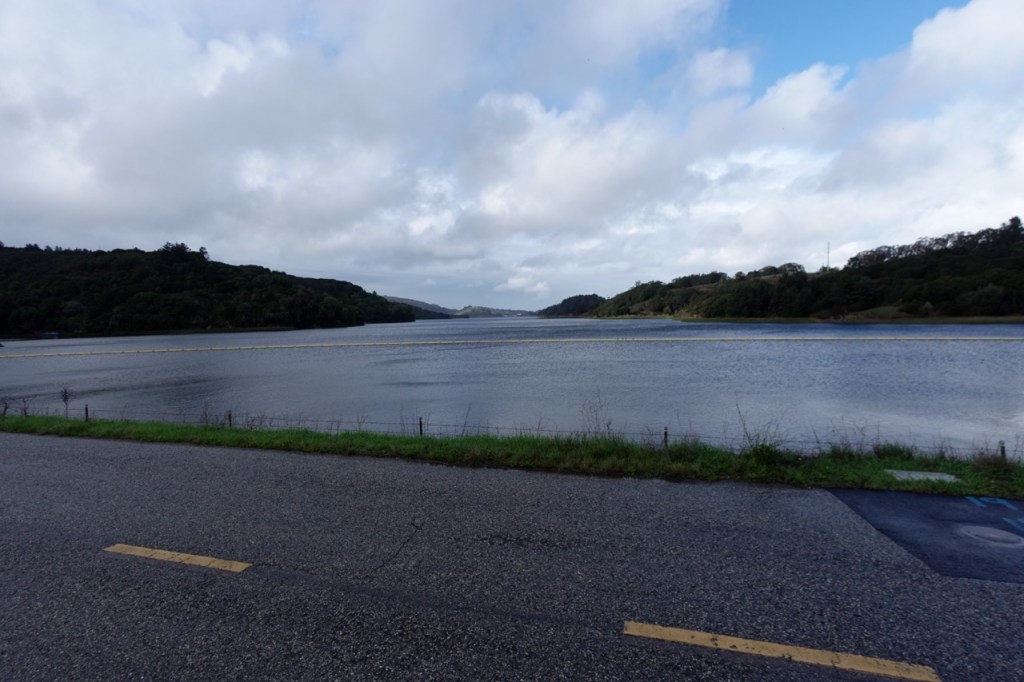
The trip was over far too quickly. I got the taste of Death Valley that I was looking for though, and began to head for the cooler temperatures of the Inyos and Sierra. I camped the next night in Panamint Valley.

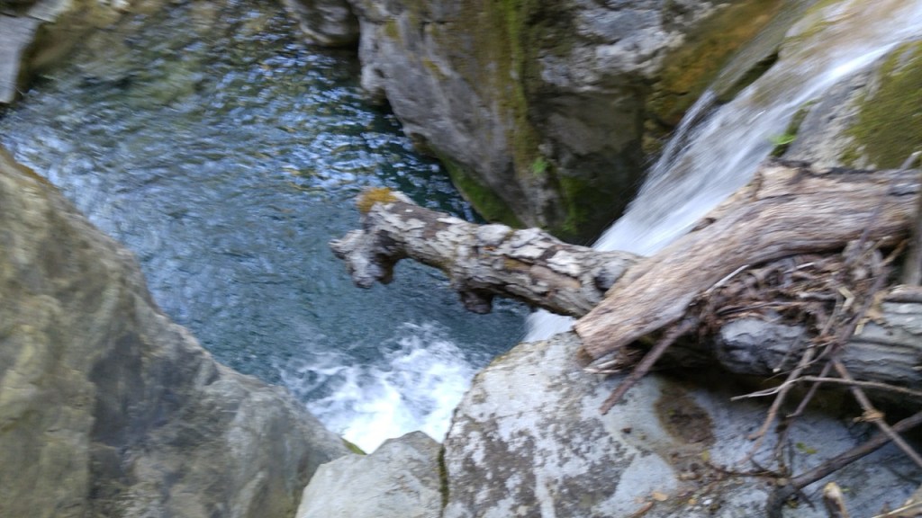
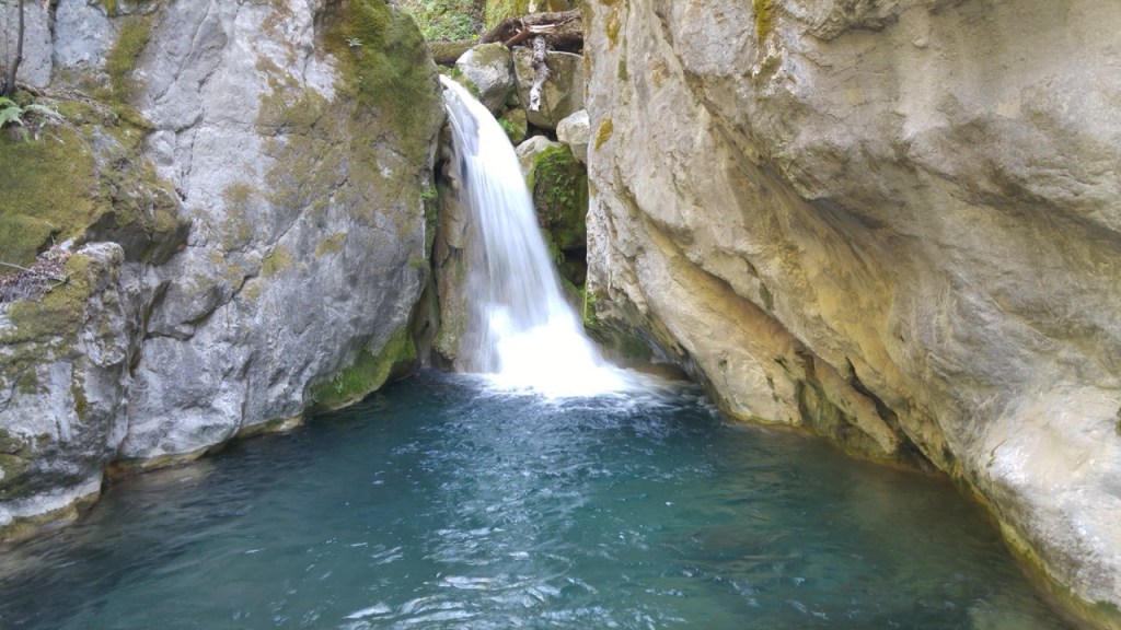
On each visit, I try to stop and see one or two of the more popular tourist hot spots, slowly ticking them off. On my way out, I stopped by Darwin Falls. The road having washed out, most of the tourists were scared off by the now 7 miles hike. I had the beautiful waterfalls to myself and was once again blown away by all of the hidden details in this beautiful park.
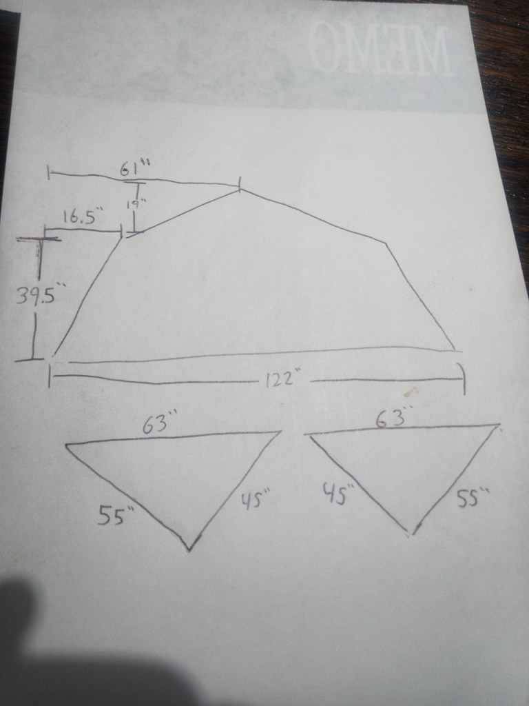
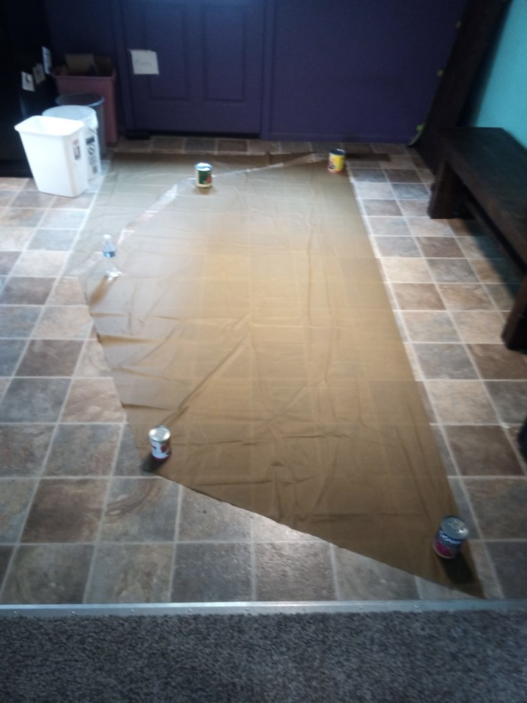
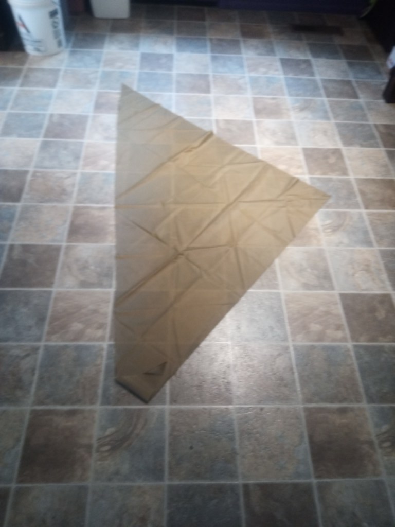
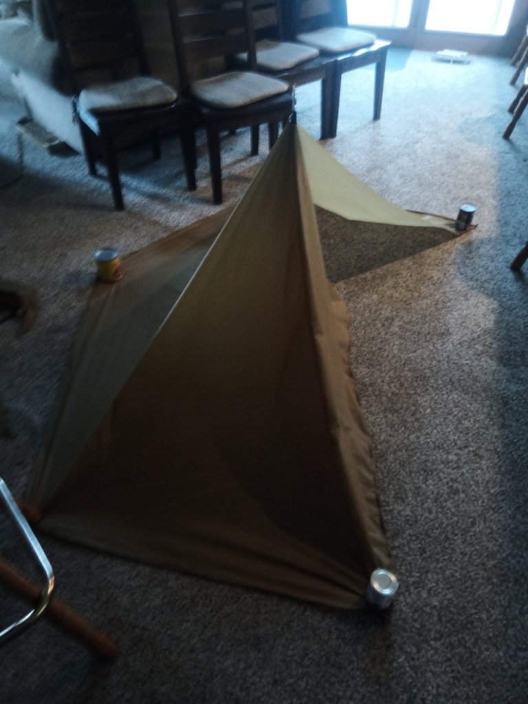
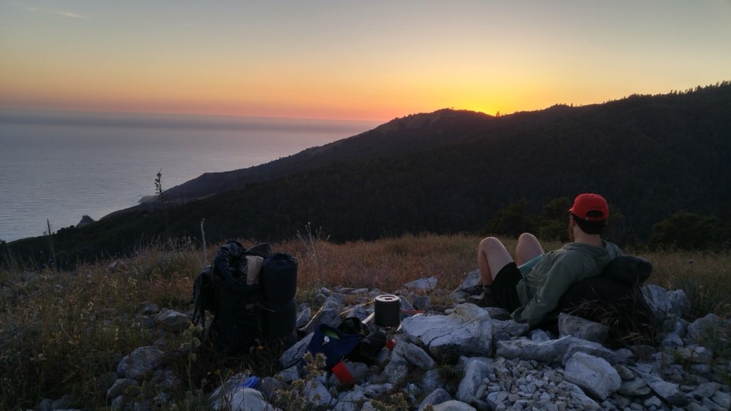
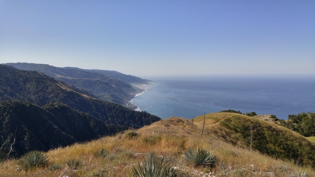
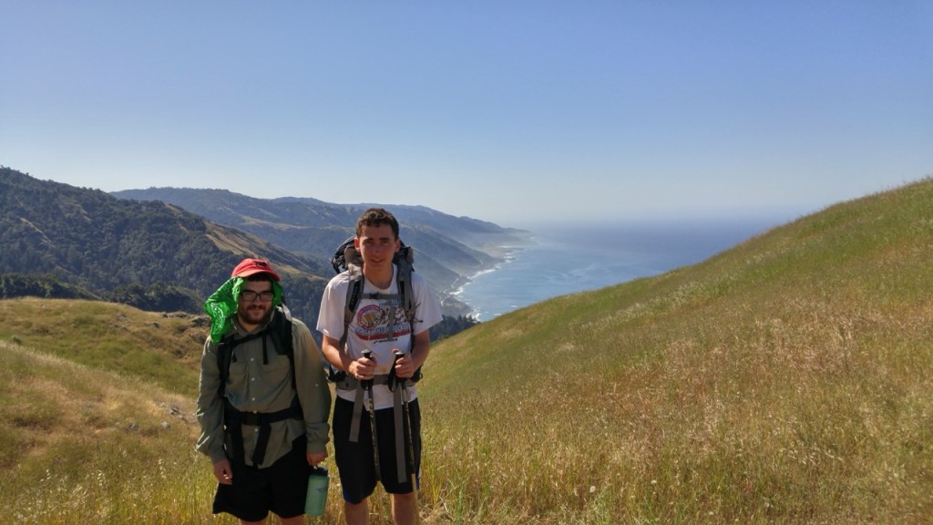
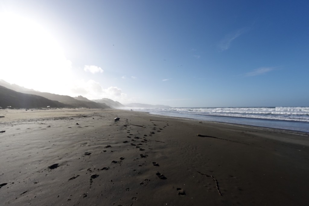
pictures to come

Categories
Uncategorized

Inyo Traverse

As soon as John and I were turned around on our Inyo Traverse attempt back in October, I contacted Matt, and we began to plan for revenge in the spring.

I had a day to spare between Thor and the Inyos, so I slowly drove north through the Owens Valley, topping up on water and supplies. I dropped off a few gallons on 168, and then drove up Big Pine-Death Valley Road to a camp spot Matt and I had picked out a few weeks prior.

I had the whole day to lounge around, eat and prepare for the trip. There is nothing like the peace of a seldom used pullout tucked away from the noise of cell service and civilization. Around sunset Matt arrived, and we made final plans for the next day.

Day 1

The first day, we began by walking down a lightly used dirt road. We passed a vanlife influencer sleeping in their RV parked off the pavement, with a huge hashtag tagged across their car. They would be the last person we would see for the next two days.

After crossing over the first initial ridge, we descended down to Sawabu flat. The flat dirt road walking passed quickly, and soon we found ourselves at the based of the mighty Wacuoba. The 3,000 ft climb straight up Wacuoba was slow going with 8L of water each in our packs. We made quick work of the climb though, finding an ideal route to avoid brush and snow.

We took in the panoramic views on the summit and marveled at the view. Our whole route, the Sierra Nevada Mountains, and Saline Valley all unfurled across the horizon. From there, the going was very good for quite a while. We surfed along wide open ridge, unimpeded by brush. For a bit, we even followed an old 4by4 trail.

Even after leaving the 4by4 track,

Day 2

Day 3

Day 4

Categories
Uncategorized

Cone Peak Loop

Back in 2016, my friend Ira and hiked a loop near Cone Peak in Big Sur. We had a long weekend from school so we drove down highway 1 to Nacimiento Ferguson Road. On the first day we headed north, climbing Cone Peak and descending to Ojito Camp on the South Fork of Devil’s Canyon.

On day two, we had an ambitious plan to attempt a loop of both forks of Devils Canyon. The fact that we even thought this would be possible at this stage in our hiking careers is laughable in hindsight. Progress was very slow. We trudged through the creek and climbed through poison oak to bypass the waterfalls. At times we had to swim through the water. Unfortunately Ira took a swim with his phone, and it stopped working. Eventually as we neared the confluence with the middle fork, we decided to turn back. Although we did not finish the loop, we enjoyed our time in this beautiful and pristine area.

We got back to camp, and hiked a few miles up the trail to continue our loop.

On the third day, we continued up the Stone Ridge Trail to complete the loop. An incredible trip in an incredible place. My second trip with Ira, a launching pad for many to come.

Categories
Uncategorized

SF Zoo to Palo Alto Skyline

The Peninsula Section of the Ridge Trail had been near the top of my list for a long time. San Mateo County was a conspicuous gap on my California hiking map. Finally in December 2025, right after Christmas, I set out to hike this section.

I took BART to Muni to the SF Zoo. I headed south, along the beach initially and then through neighborhoods. I met up with my friend Jack, and we headed south towards the SFPUC watershed lands. The actual ridge trail is almost impossible to get permits for, so we took an alternate along bike paths. The rain seemed to keep most of the bikers away, and we had a peaceful afternoon despite our pr0ximity to freeways and neighborhoods.

The race was on to get past the roadwalk before dark. Highway 92 with its narrow shoulders was unpleasant. Luckily after two hair raising miles, we arrived to Highway 35, which was much more peaceful. We continued on a few more miles before setting up camp. Directly east of the highway lay a brand new trail. 16 million for a few miles of over engineered trail. The trail looked complete, but we did not dare set foot on the heavily guarded SFPUC land.

After a long winter night, we set off again in the morning. Somehow, despite days of rain we had run out of water the night prior. Luckily, early the next morning, we found a creek. We sat by the creek for an hour, a luxurious indulgence on a daylight starved December day. Soon after we realized that we would have no more time for breaks all day.

We climbed out of the beautiful redwood choked Purisima Creek, and continued south on the Skyline trail. The day went on, alternating sides of Hwy 35, with the occasional road walk mixed in. Compared to yesterday, it felt remote and pristine. Soon we were in Sky Londa, and soon after hiking with Jack’s friend Sophie who graciously agreed to take us back to BART.

The last light arrived just as we were finishing our hike. We connected our footsteps with our hike three years prior. Clouds rolled in, and we both agreed we were grateful to not be spending another long night out here. We roared back down the hill towards the millions of light below, back towards artificial day and legal places to sleep.

The Bay Area Ridge Trail never fails to provide an adventure. Lack of Sierra-like solitude is more than made up for by constant change. A beach walk, a road walk, a short legally dubious section, a reservoir, water district land. The trail always keeps me on my toes. Jack and I have both spent both of our lives in the Bay, but we both agree we were blown away by some of the places we got to see. As I near the end of my ten year section hike of this trail, I can’t help but wish I had a little of the trail left to savor.