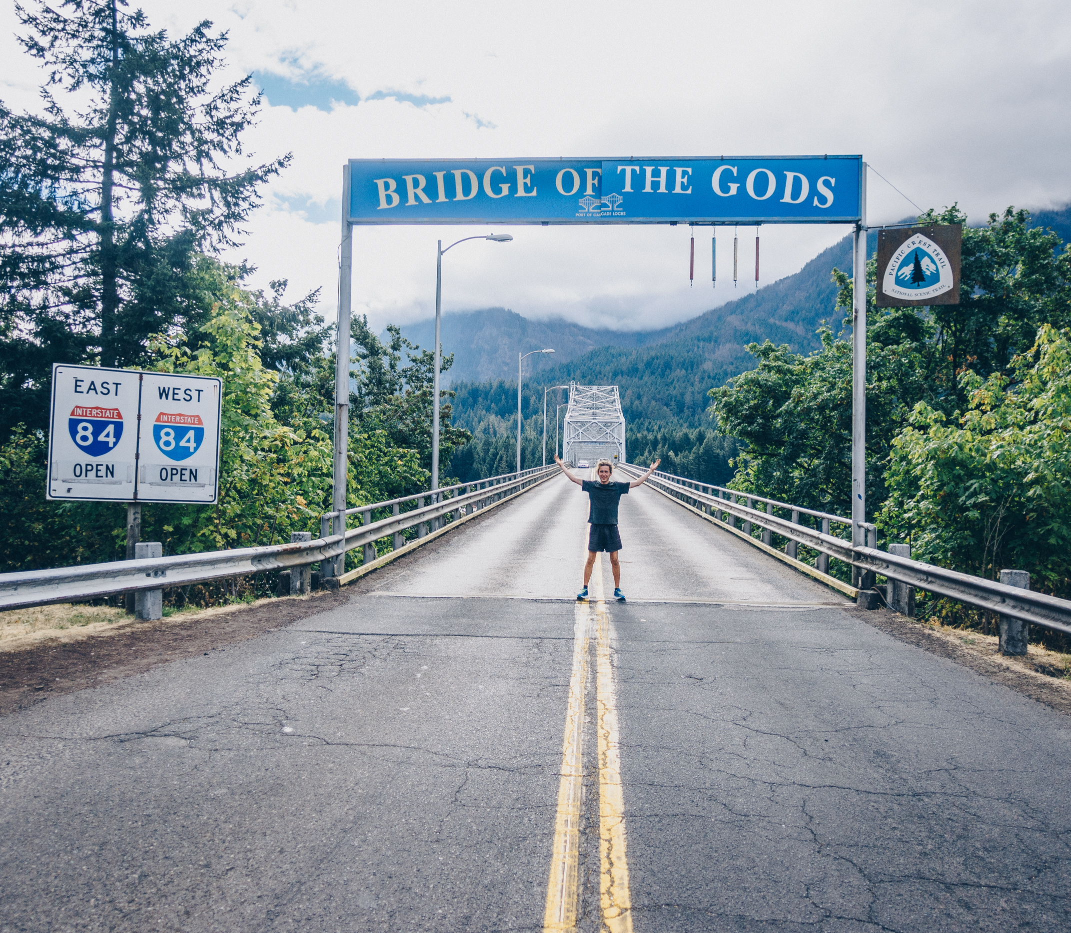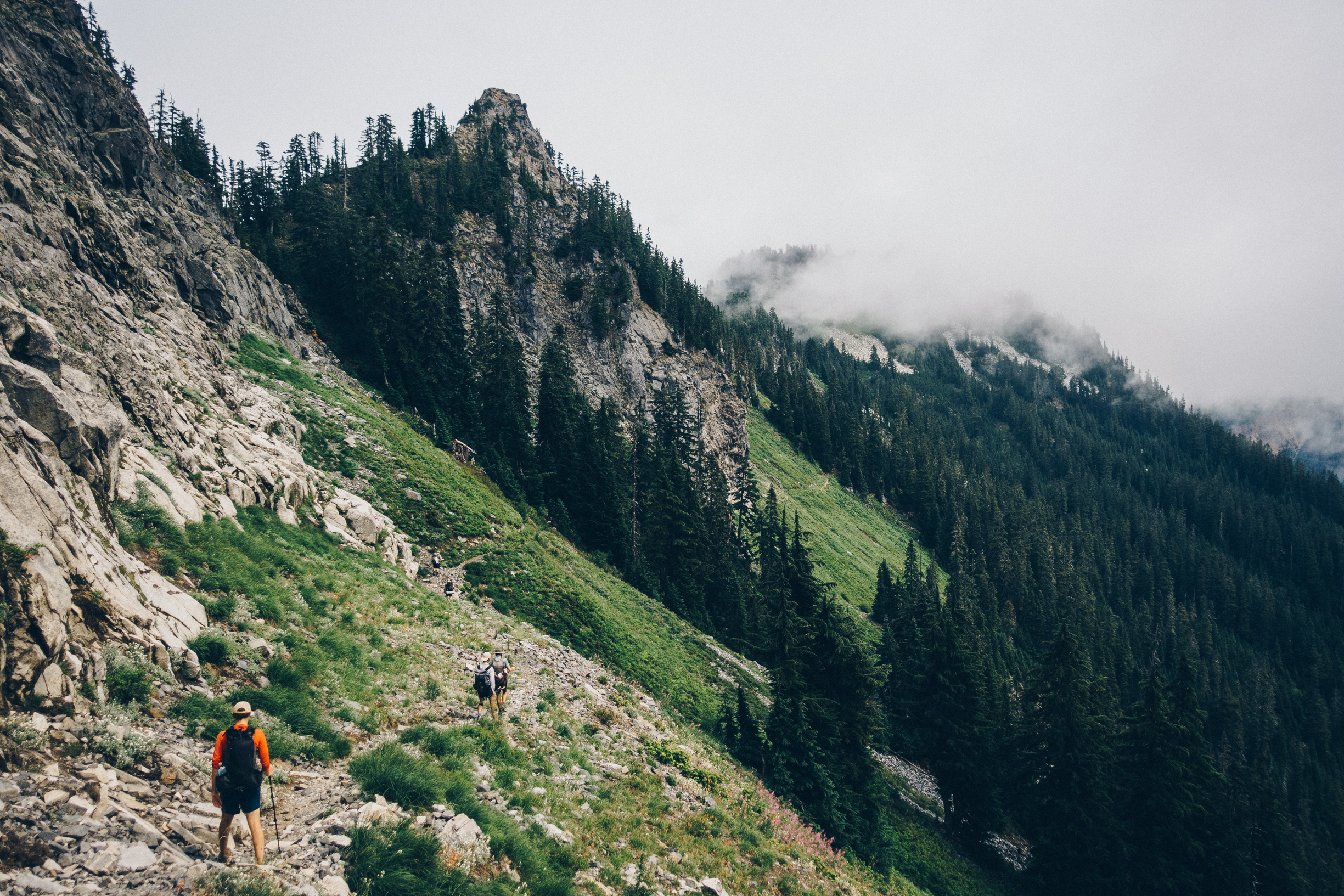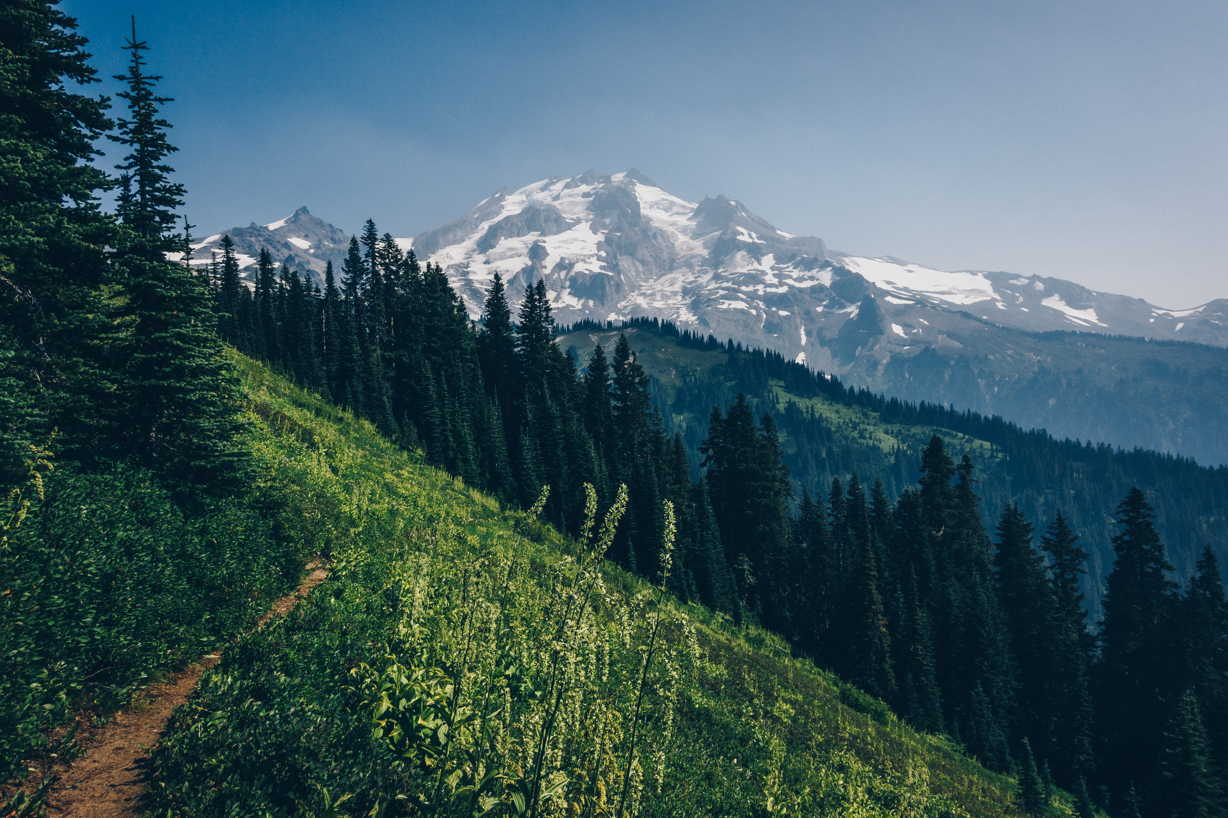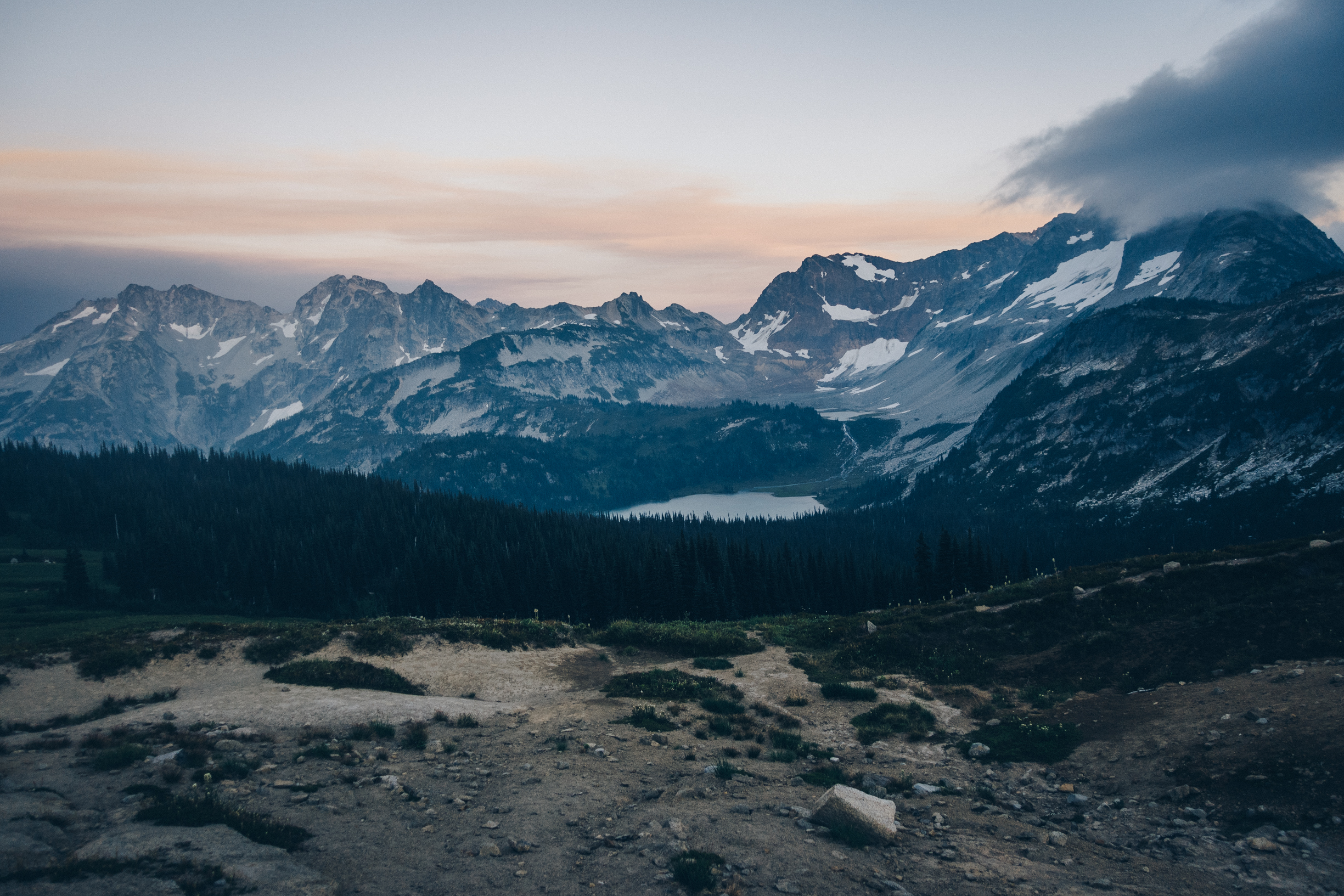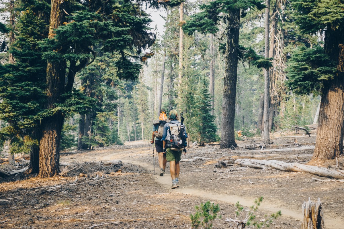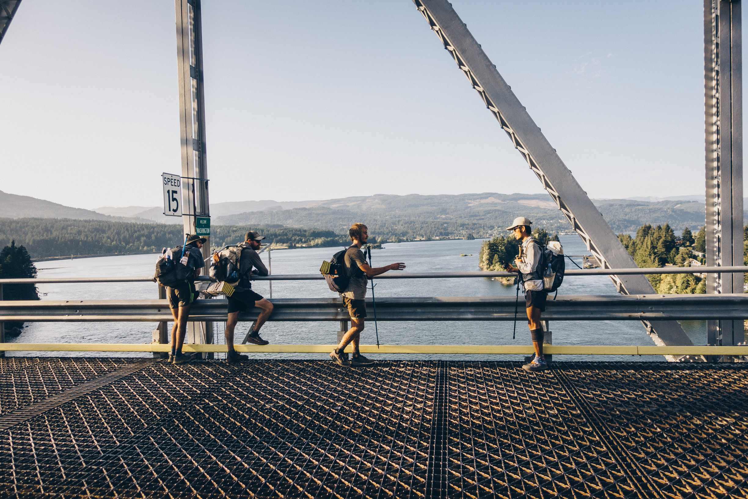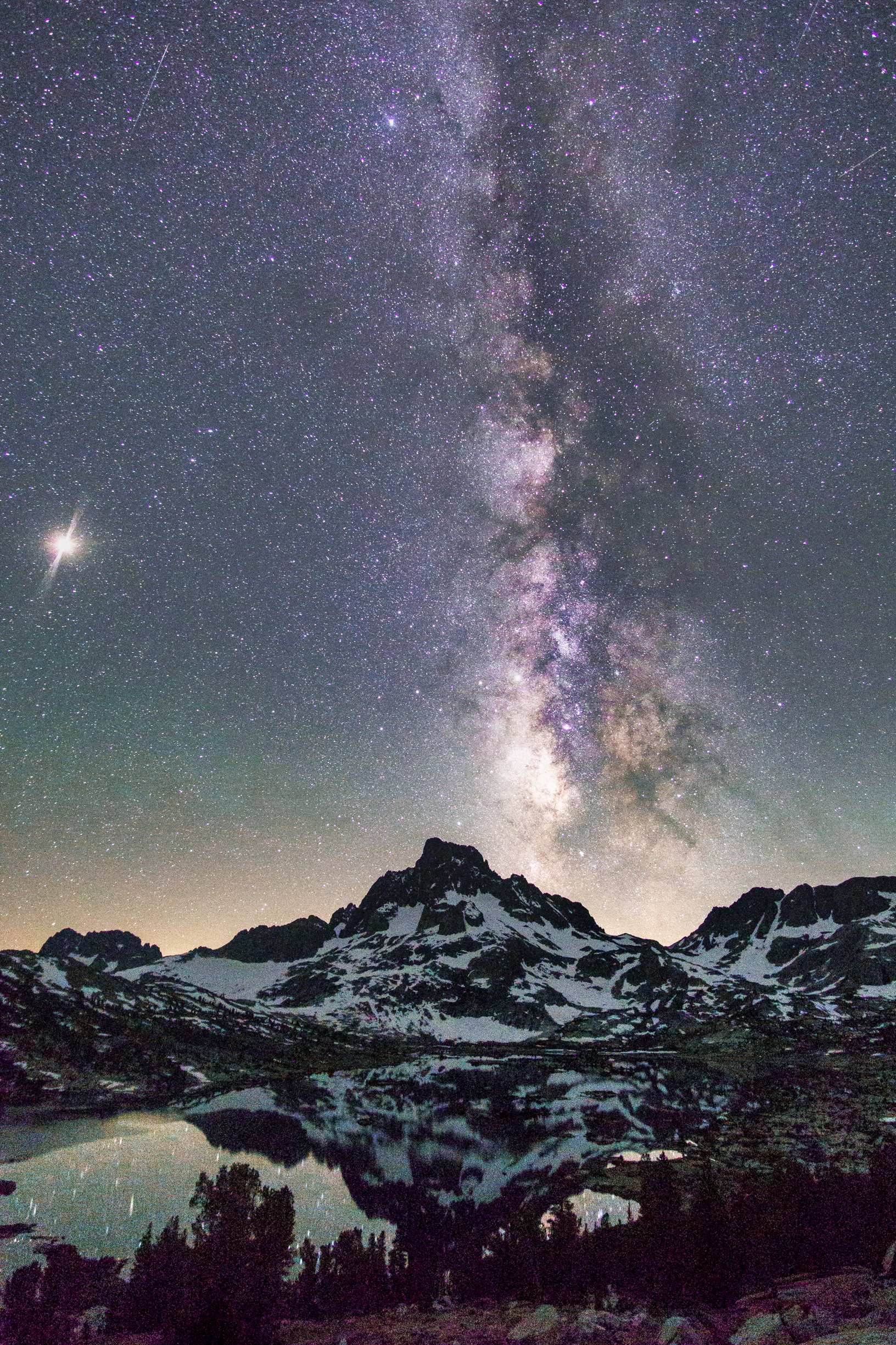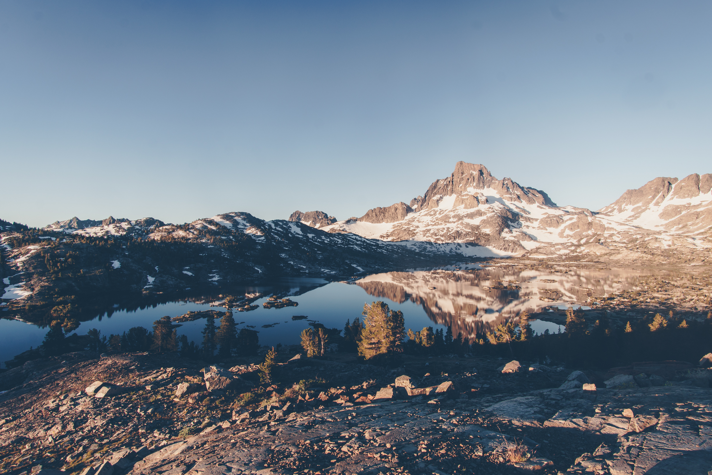
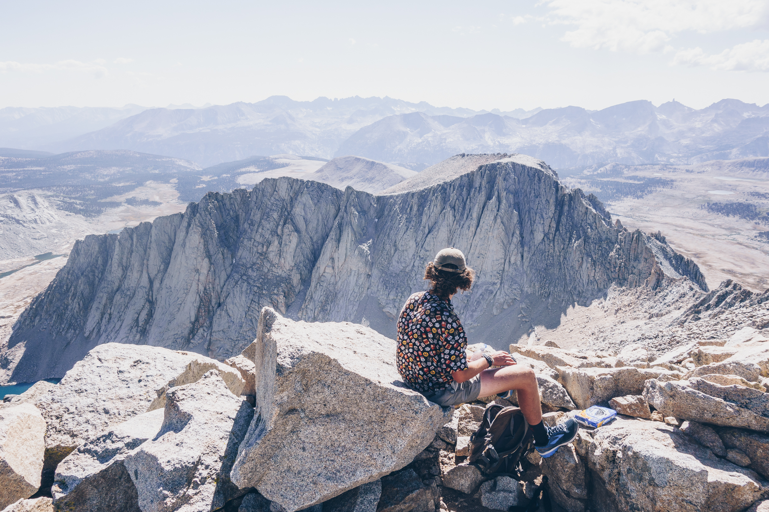
Over Labor Day weekend in 2018, Matt, Noe, Anthony and I set out to try to climb some more California 14ers. I only had climbed four at the time (Muir, Whitney, Split and Shasta). We could not get any overnight permits as it was Labor Day weekend. Instead we decided to attempt these climbs as day hikes. Our first objective was Mt. Langley, which we planned to do on Saturday to acclimatize. For many this would be a tough day hike but since I had just gotten off of the PCT I did not see it as such. At around 12,000 feet I began to feel the effects of altitude, but after a short break I was able to shake it off and we hiked to the top, passing some runners who had run by us on the flat section.


We drove down into independence and prepared ourselves for the next day. We knew it would be a long one, 30+ miles, 12,000 ft of elevation gain, 12,000 ft of drop and two class three 14,000+ ft mountains. We decided to start early at 3am and try to climb the on trail Sheperd’s pass mostly in the night while it was cooler. Noe and Anthony had some apprehensions about this plan and planned to maybe just climb one of the peaks.
Matt and I awoke at three am the next morning to learn the plan had changed. Noe and Anthony had contacted our friend Jared who would drive us home as they did not want to attempt this hike. We said our goodbyes and placed all of our belongings into Jared’s car. After the slight delay we left the parking lot at 3:15 AM and began to cruise up Sheperd’s Pass. Around four hours later we made it to the top of Sheperd’s Pass. I had set a fast pace and somehow Matt had no problem keeping it and we took no breaks. We climbed to the small saddle just south of Sheperd’s Pass and took a short break to look at the map and compare it to the upcoming off trail section.

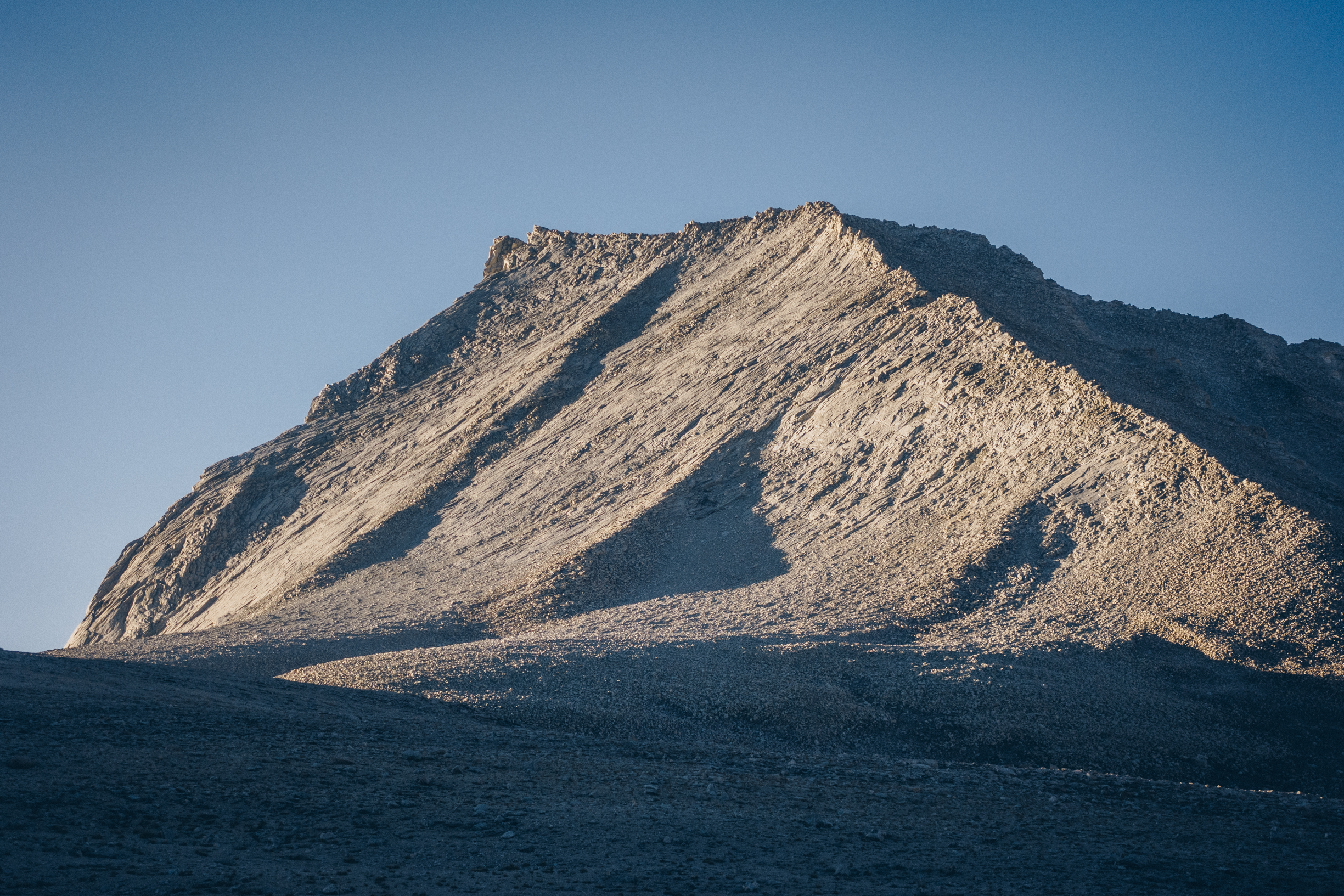
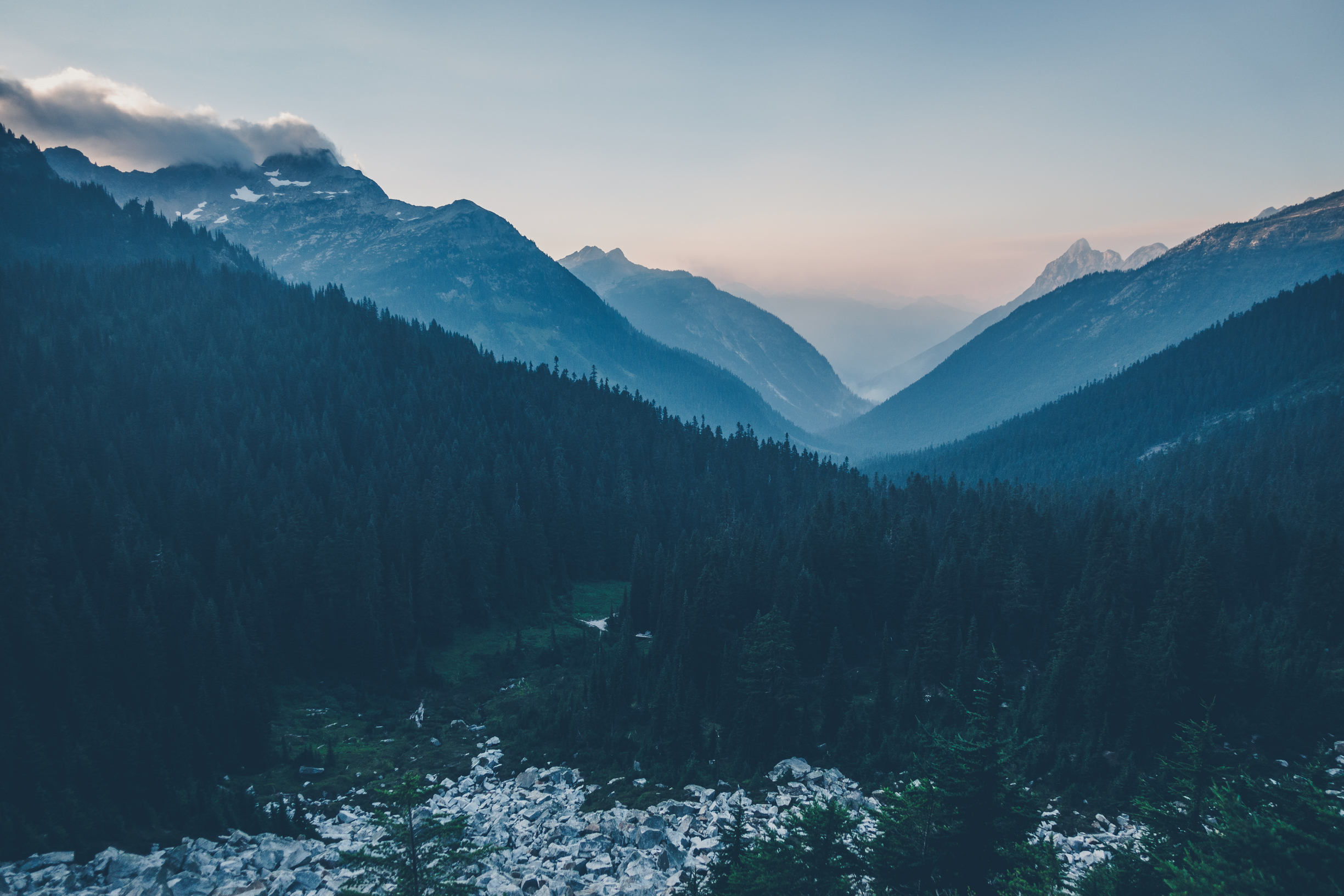
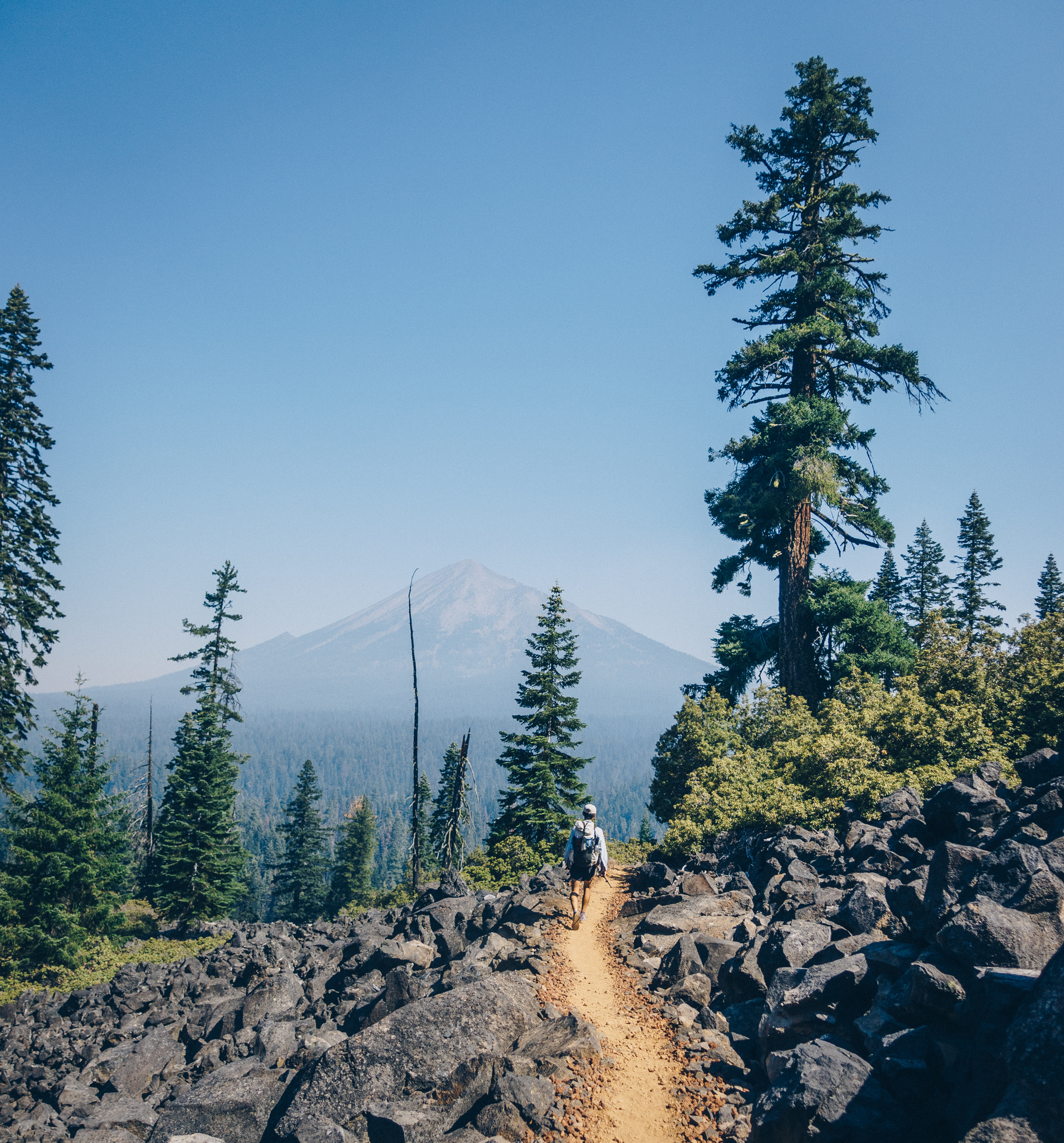
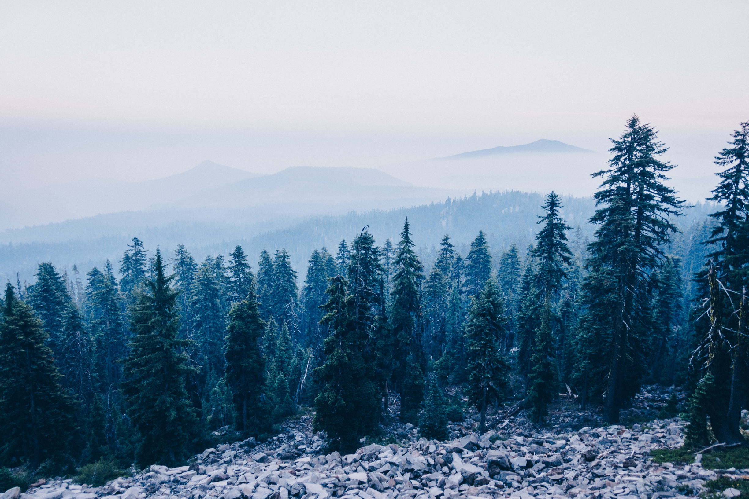
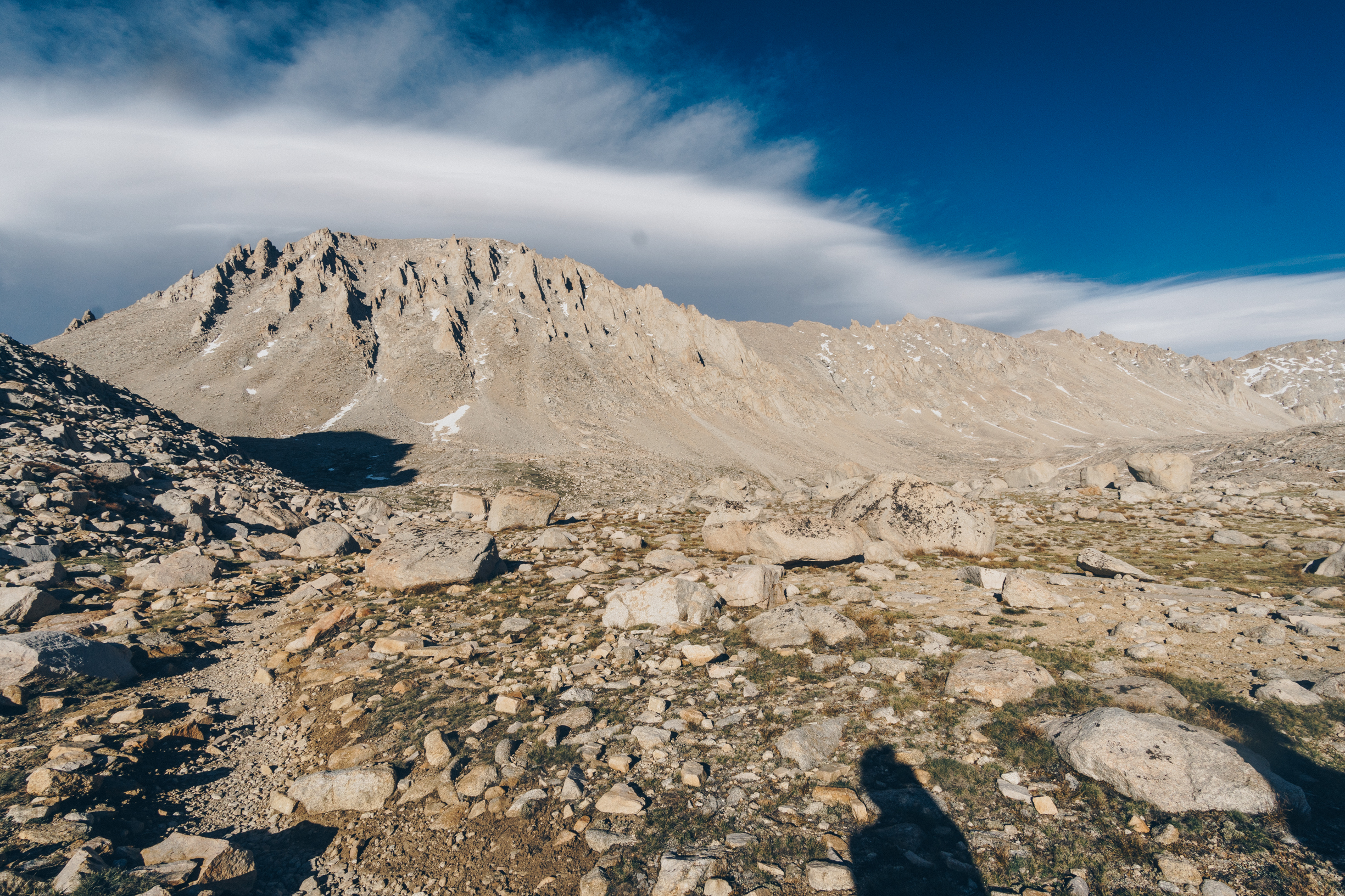
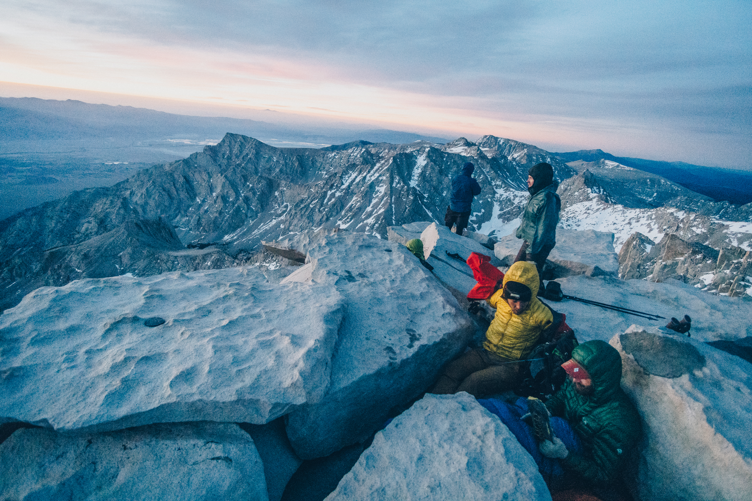
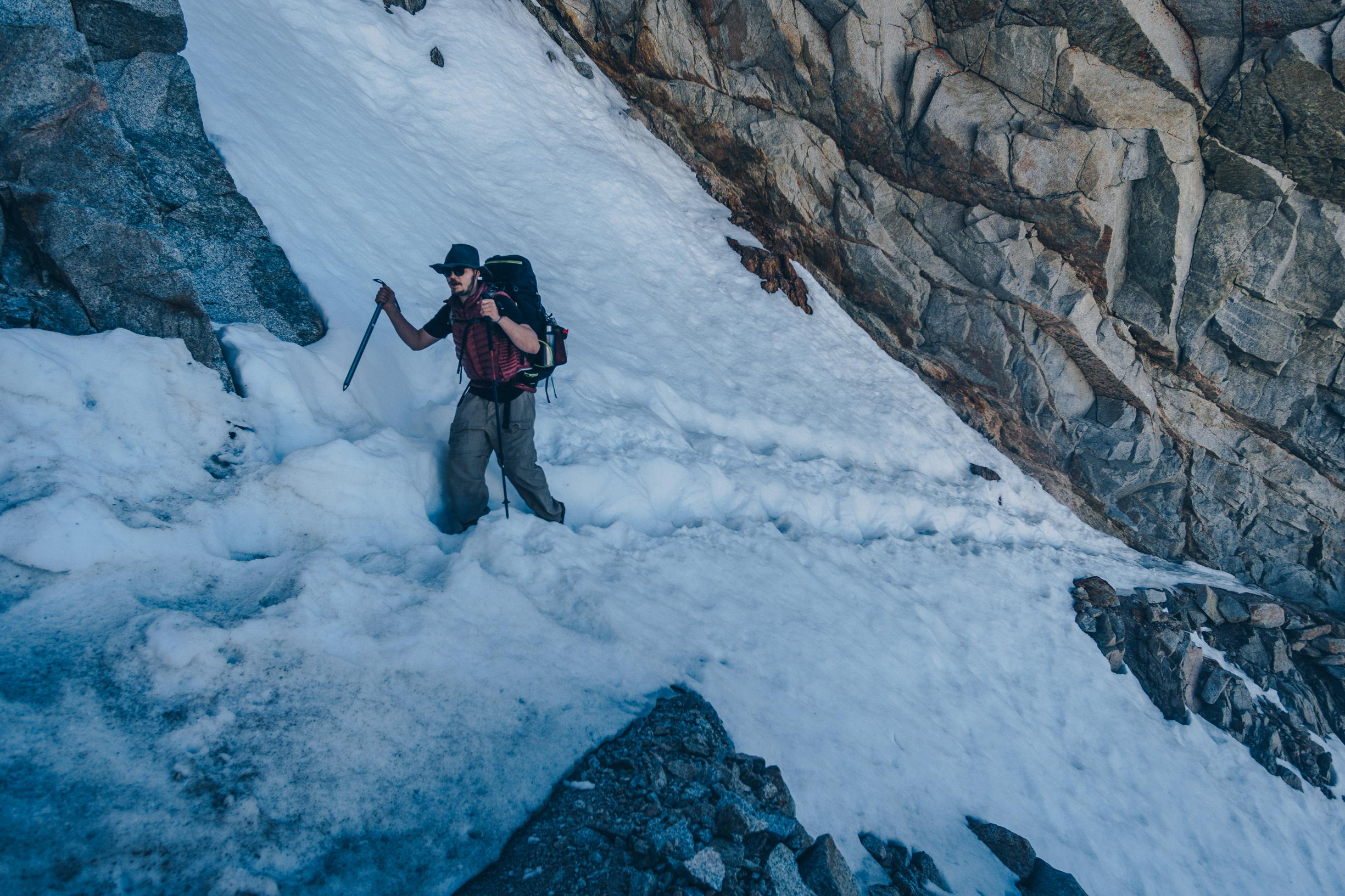
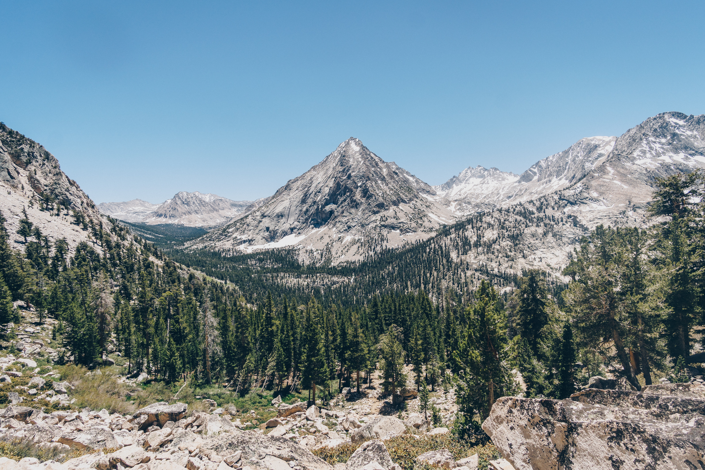
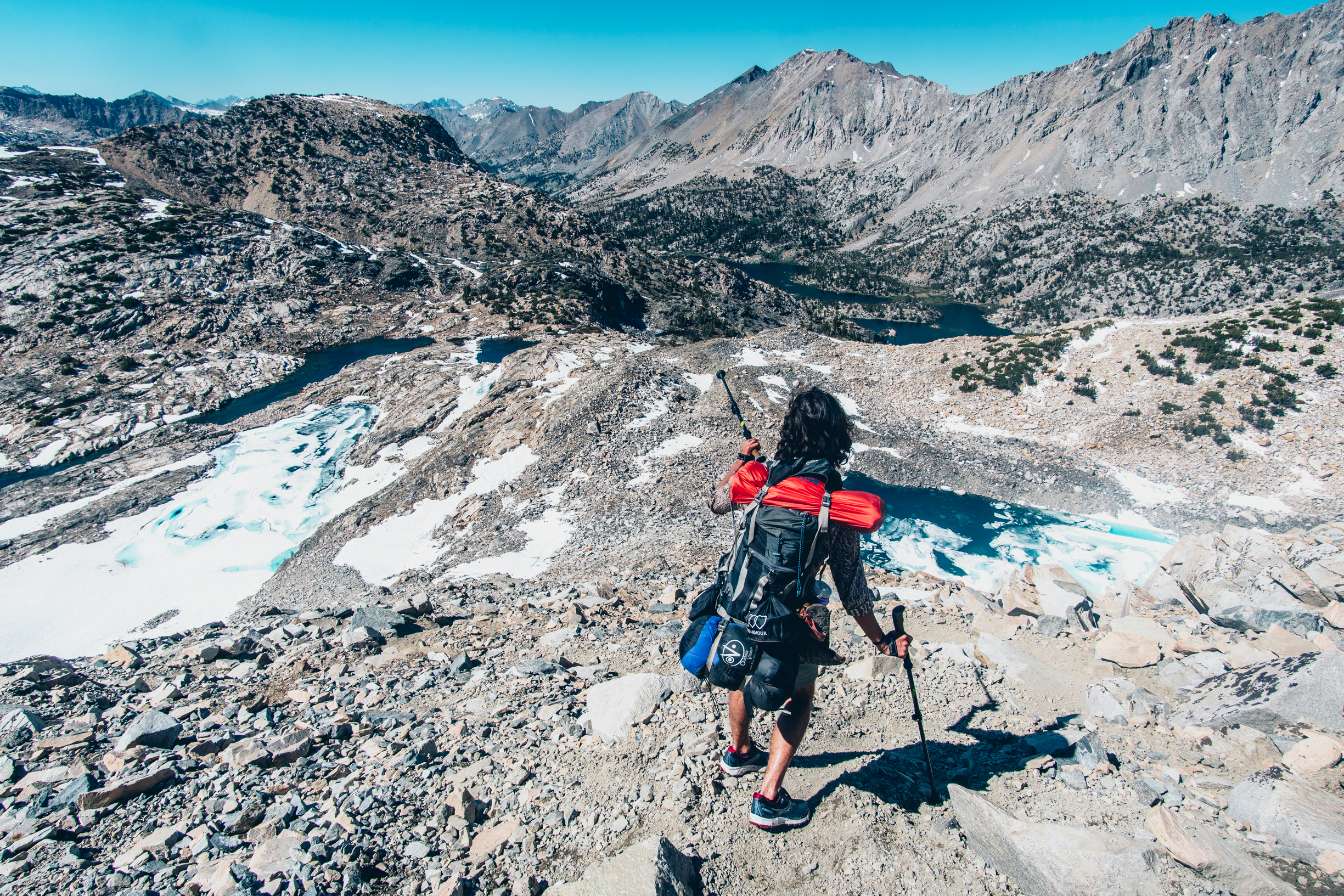
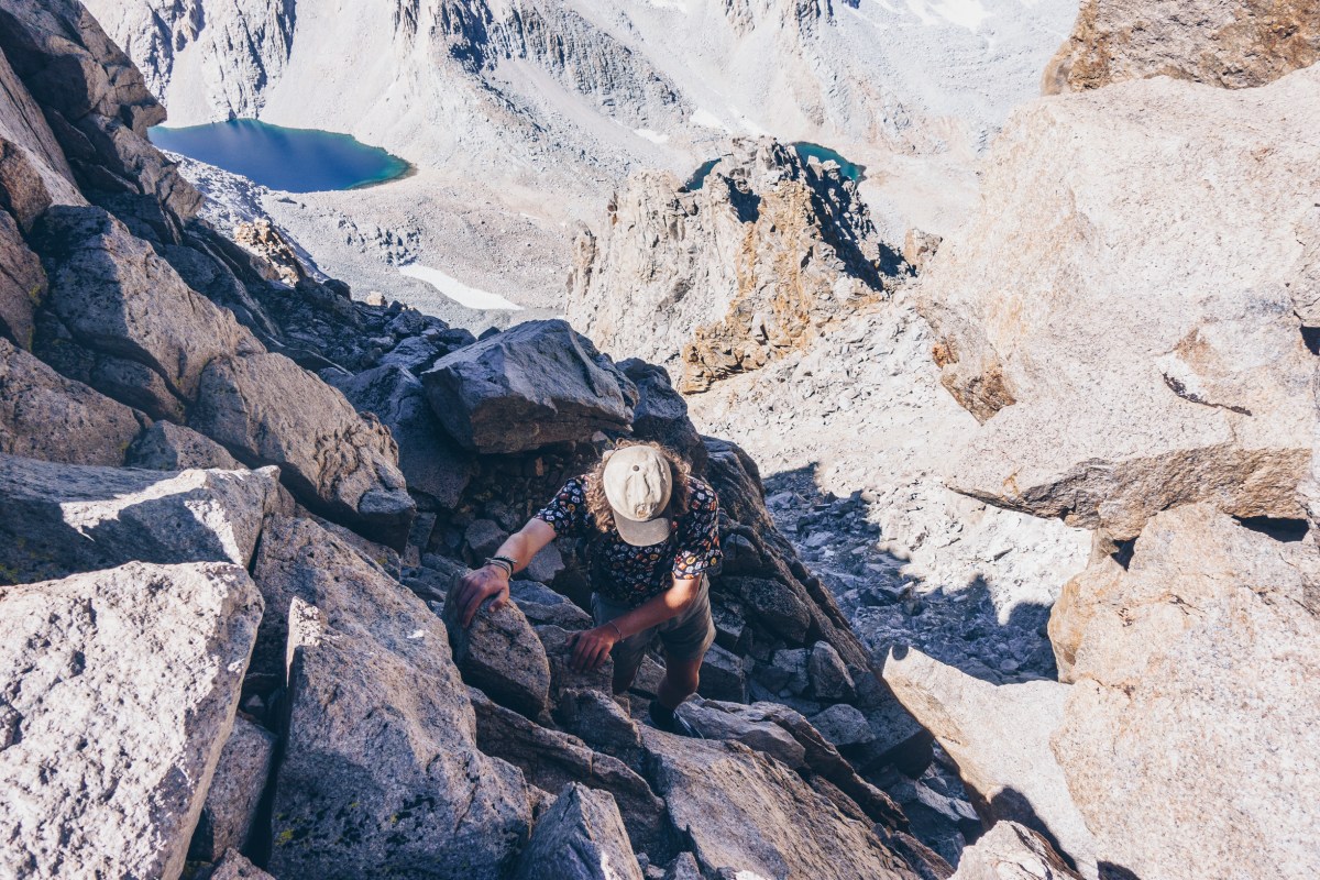
After our brief brake, we began to make our way across the Williamson Bowl as we planned to hit Mt. Williamson first. The bowl was a mess of large boulders and was slow going, we began to feel the altitude much more which made us lose our appetites. Eventually we got to the other side and began climbing up the chute. This was also very slow going but we were well ahead of schedule so it did not really matter.
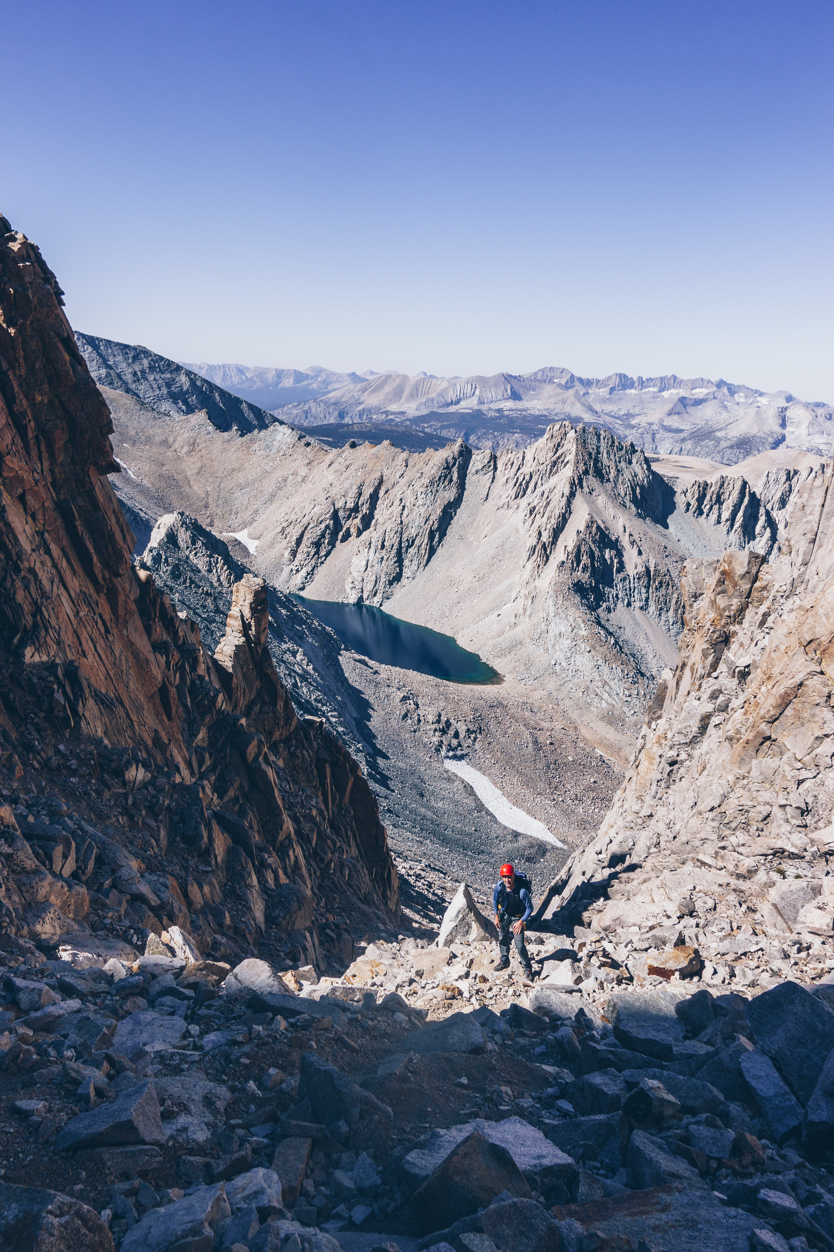


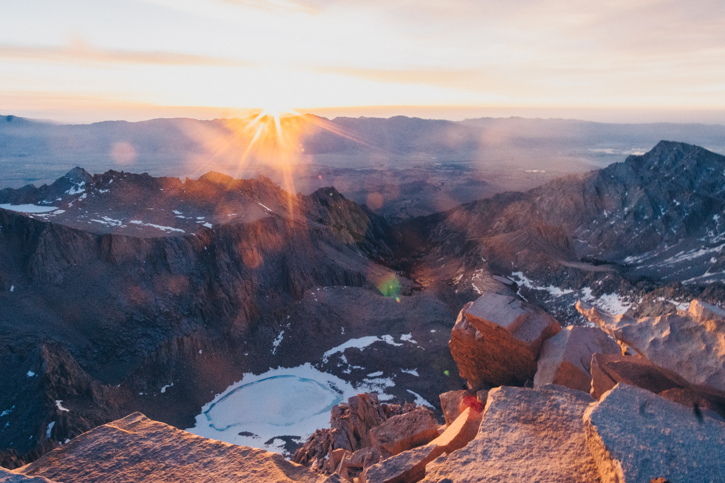
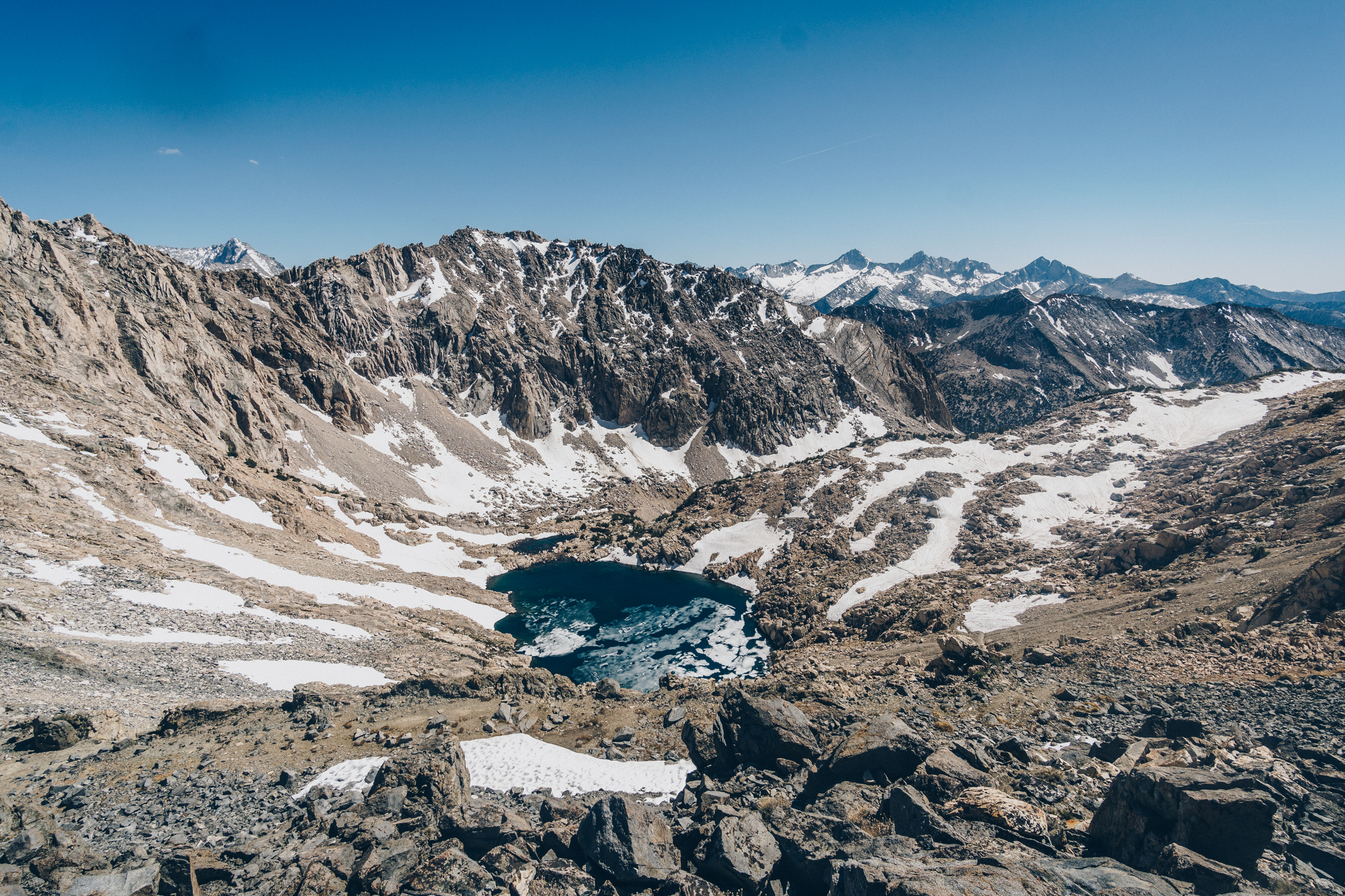
We reached the base of Mt. Tyndall at around 2pm, 11 hours after we started. I was exhausted and wanted to take a nap. Matt talked me out of it and we started to make our way up Tyndall. Tyndall was easier because the rib was made of hard rock, not the crumbly scree that slowed us down up Williamson.

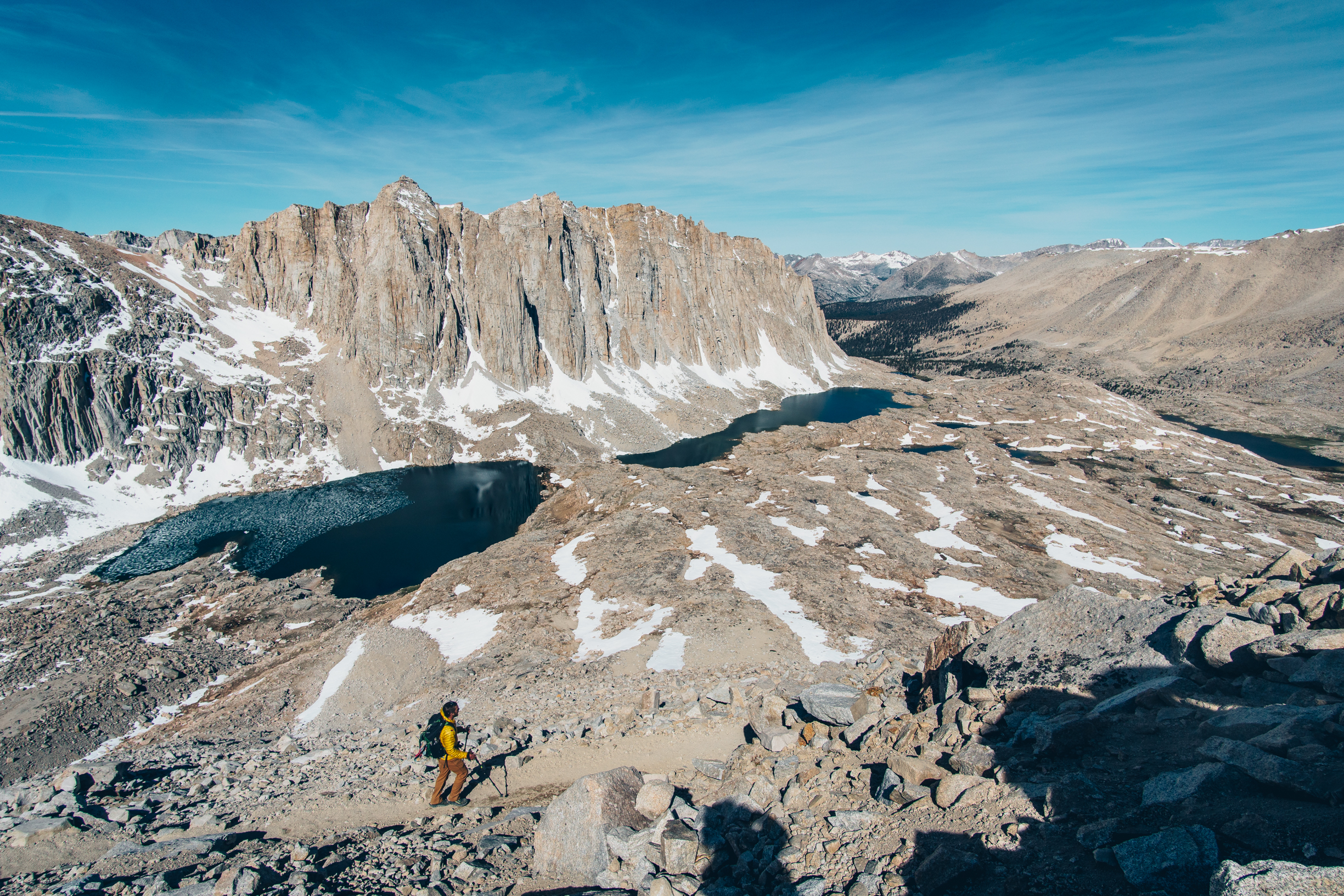
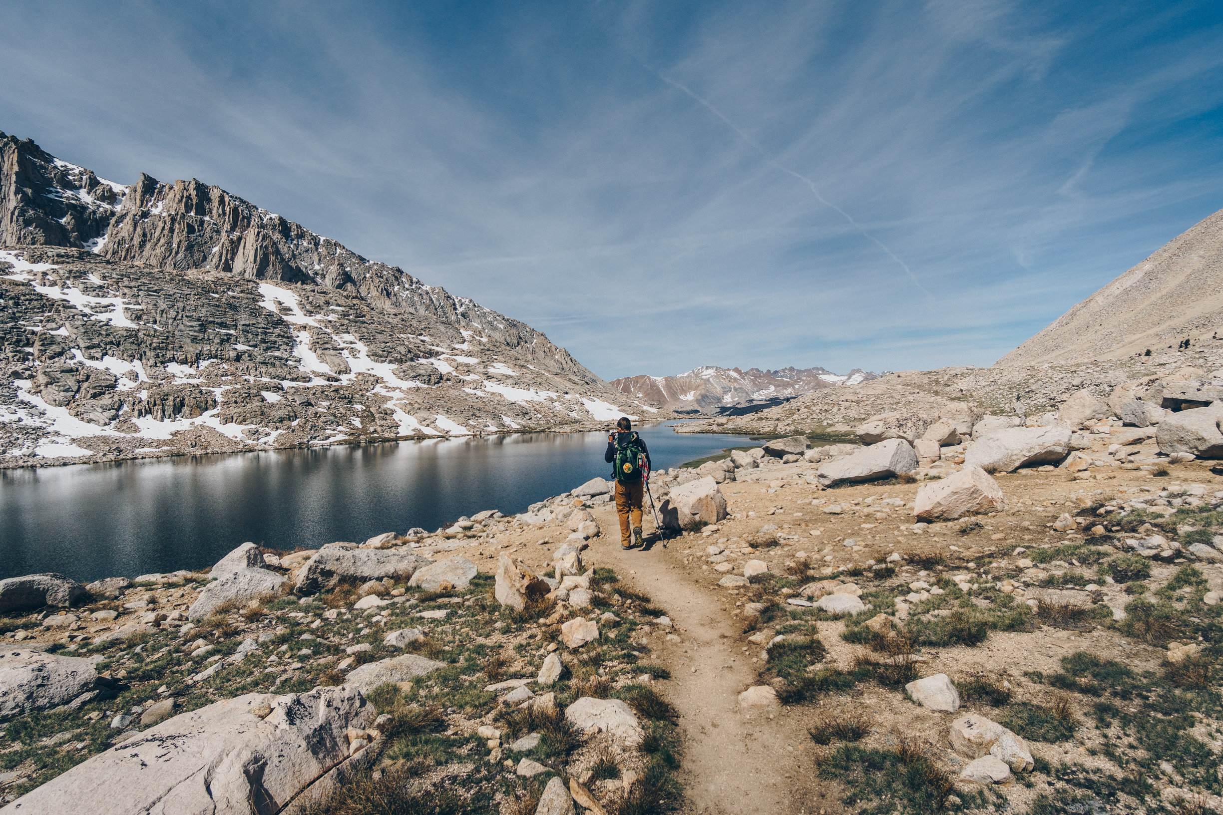
The hike down went quickly. We ran into one of Matt’s GSI (like a TA) from school and we followed his blistering pace down the mountain and down Sheperd’s Pass. At 8:16 am 17 hours and one minute after we started, we reached the parking lot and reunited with Jared.
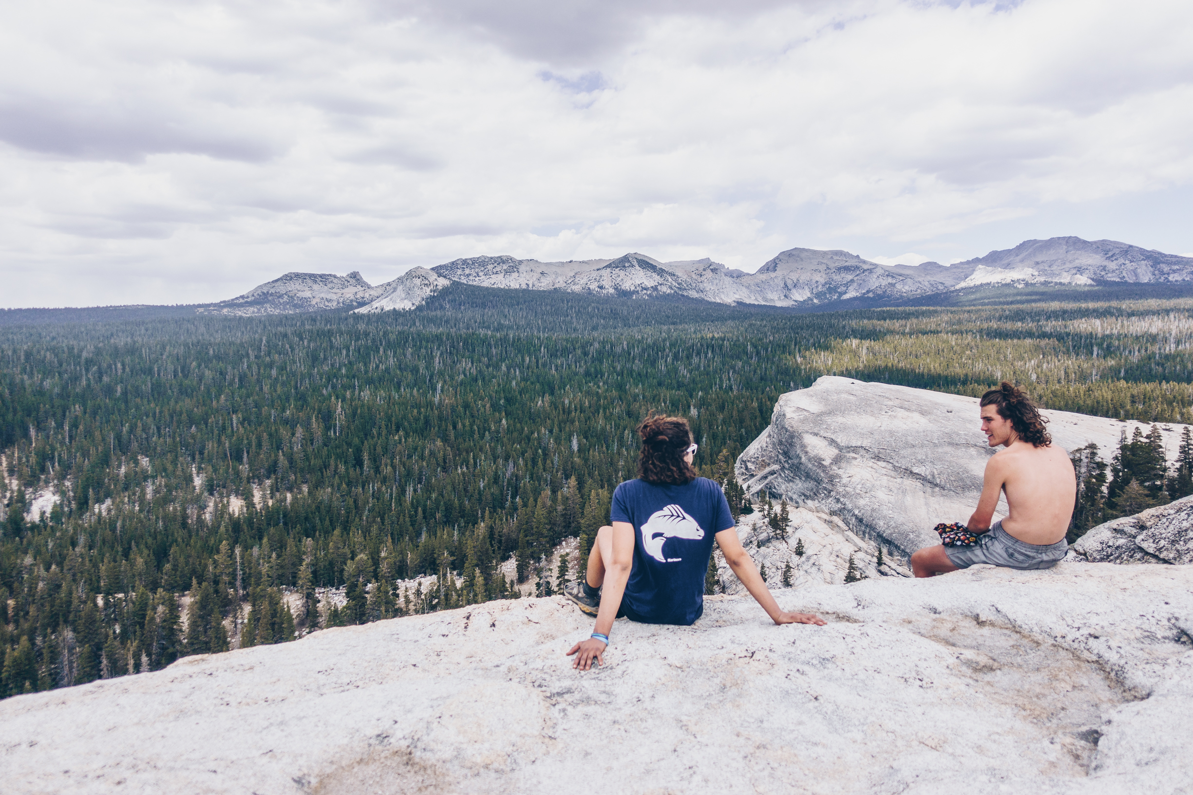
On the last day of the weekend we took our time driving home and stopped at some hot springs, bishop and Tuolomne Meadows. What a crazy trip.
Matt’s trip report: https://www.mattymorrison.com/tyndall-williamson