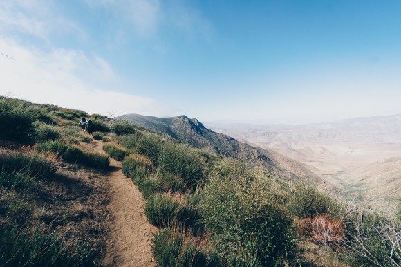
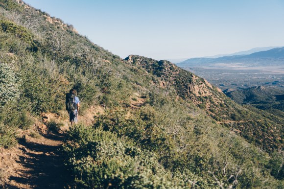
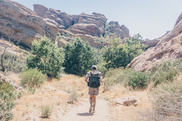
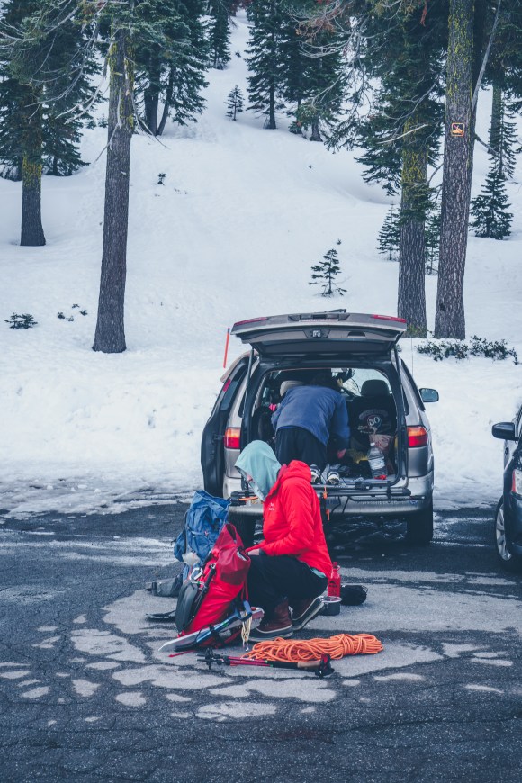
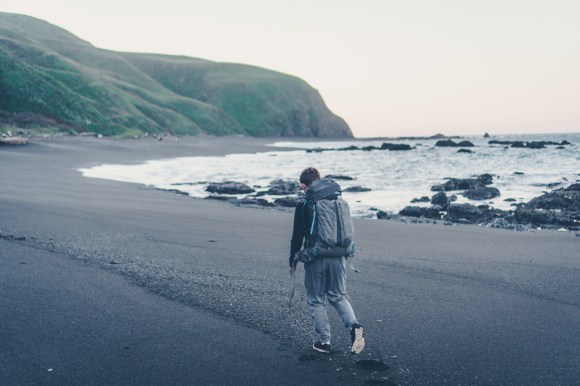
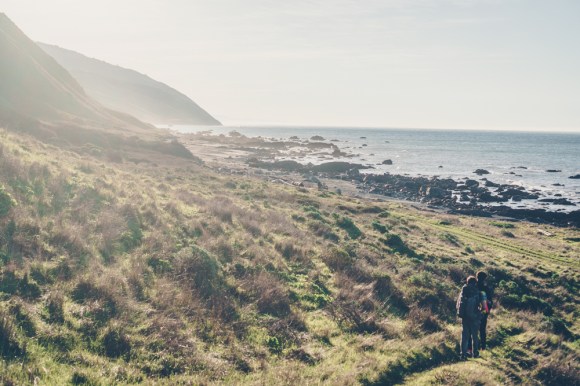
Categories
Uncategorized

PCT Preparation

Part 1: Gear

For a while I have been working on lightening my gear and I see the PCT as a culmination of a long effort. I have always thought of lightening your base weight as a spiral, the lighter your pack is, the quicker you hike. Hiking quicker necessitates less food as you can cover more ground each day, thus your pack becomes lighter and the cycle continues.

I started the trail with slightly more things then I ended it with. The PCT is a great place to learn about ultralight backpacking as there are so many people to learn from. I will share my gearlist from the end of the trail, however most of the changes from the beginning are quite minor, getting rid of a stuff sack or a bandanna for example. There were however two major changes I made: getting rid of my stove and lightening my camera.

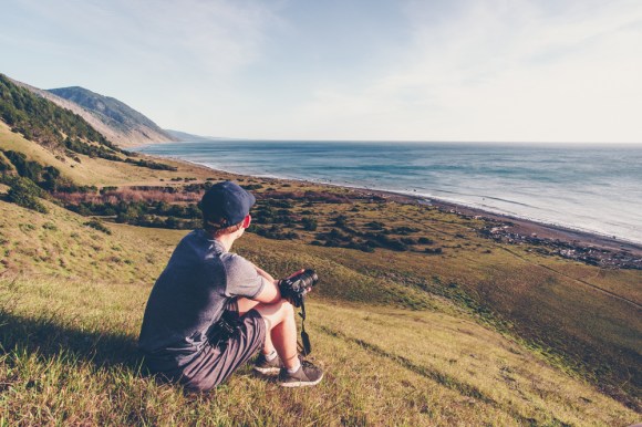
Both of these changes stemmed from broken gear. I wasn’t using my stove much but after a year of use it finally gave out on me in my first week on trail. So, I decided to go stove less and in doing so saved weight but more importantly time. It is very nice to end a long day of hiking without having to cook anything. Unfortunately my Sony a6300 camera stopped working around Mt. Shasta. Thus I send it home and bought an rx100. I was curious to try this lighter camera and it performed quite well, but of course it cannot hold a candle to the lowlight performance on a bigger sensor.

Below is my lighterpack:

https://lighterpack.com/e/1jq9a8
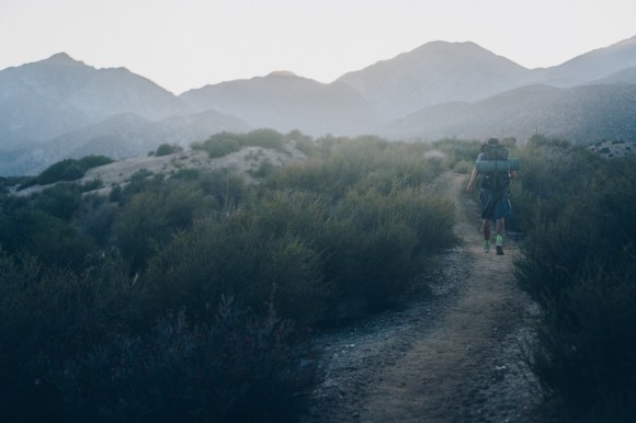
Part 2: Planning

As a full time student I did not have much time for planning. Some people plan extensively and pack boxes but I would not recommend this especially on a first thru-hike. It is impossible to know how many calories you will be eating daily and what kind of food you will enjoy. Many people who sent boxes became so sick of their food they eventually just hiker boxed most of it. I completed the trail only sending myself food twice. In Cascade Locks Oregon I mailed myself food to White Pass and to Steven’s Pass. I could have gone the whole trail without mailing food but I mailed these two boxes to save time.

In general since I had not done much research on the trail I mostly looked 2-300 miles ahead on Guthooks to plan out where I was going to resupply and also talked to other hikers. My parents sent me my bear can to Kennedy Meadows South as well which was incredibly helpful.

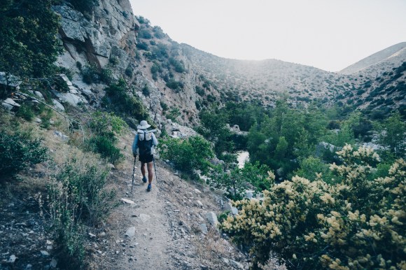
Part 3: physical and mental preparation

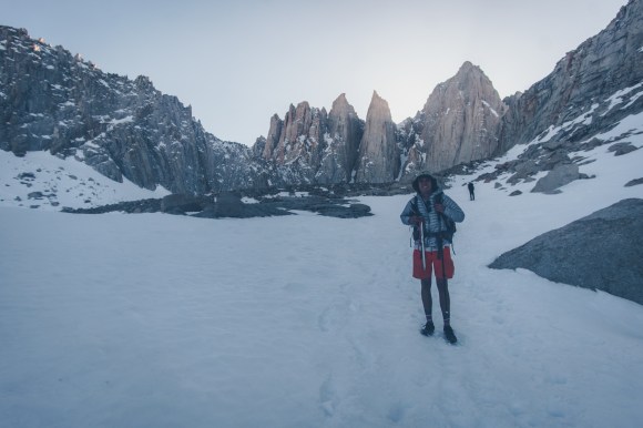
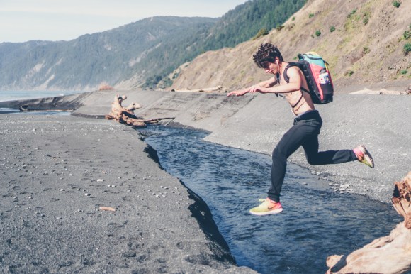
In addition to all of the backpacking trips mentioned on my blog I also ran Cross-country and Track in high-school which helped load a good “base” of miles onto my legs. Mentally having been on multi-week trips before such as the Sierra High Route or my trip hitchhiking to Alaska helped immensely.

Categories
Uncategorized

Mt Whitney via the Mountaineer’s Route

The weather was good and Matt, John and I planned to head up Mt Whitney’s Mountaineers route. We drove 7 hours through the night and slept one mile down road of the portal because the road was closed. This trip was pretty rushed to do in a weekend from the Bay Area, but it was well worth it.

Matt’s trip report can be found here.

DSC03660
At Whitney portal
DSC03691
A long day of ascending later we finally got to the base of Mt Whitney
DSC03798
Matt Climbing up the Mountaineer’s Chute the next morning
DSC03810
yeeeeeew
Categories
Uncategorized

Two attempts and two failures on Mt Shasta’s Cassaval Ridge

After not even attempting Mt. Hood due to weather Matt, John and I had about a 4-5 day window of time during the middle of spring break to attempt Mt. Shasta via Cassaval Ridge. Cassaval Ridge is a more technical and more aesthetic line up the Mountain then Avalanche Gulch which we had all completed before. Unfortunately both attempts were thwarted due to weather. The first one due to deep unconsolidated snow, and the second due to high winds. We will certainly return to attempt this route as it is only four hours north of Berkeley.

Matt’s trip report can be found here.

DSC03392DSC03416DSC03427DSC03454DSC03445DSC03448

Categories
Uncategorized

Northern Lost Coast Mattole Beach to Shelter Cove

The northern Lost Coast is a truly idyllic place to go backpacking. The secret has gotten out and now permits are required, but it is still not terribly crowded, especially during the winter months. We only saw a few other people the whole weekend. I got about 10 people from my school together to do a key swapping trip, and we did the Northern Section in one weekend.

As the area is so pretty and since the trip went so smoothly, I will mostly let the pictures speak for themselves.

DSC00742.jpg
we had to start early to get around the sections impassable during high tide

DSC00752.jpg

DSC00764
Anthony(different Anthony not me) crossing a freezing cold creek early in the morning

DSC00765.jpg

DSC00771.jpgDSC00780.jpg

DSC00782.jpg
the lighthouse
DSC00795.jpg
another small creek

DSC00808.jpg

DSC00816.jpg
we got to camp around noon so there was plenty of time to lounge around
DSC00826.jpg
we climbed a large hill above our camp, and the view was amazing

DSC00840.jpgDSC00838.jpg

DSC00899.jpg
spun some steel wool that night on the beach near the water, very far away from any grasses

DSC00946.jpgDSC00960.jpg

DSC01018.jpg
Anthony did not like getting his feet wet
DSC00966.jpg
there were many waterfalls like this all up and down the beach
DSC00977.jpg
the reason bear canisters are required
DSC01082.jpg
looking back up the coast from Black Sands Beach


Categories
Uncategorized

Mexico: Climbing Citlaltepetl and Iztaccihuatal

Matt, Adam, Anthony and I set out to Mexico to attempt to the climb the 18,491′ Citlaltepetl (Pico de Orizaba). This volcano is the highest point in Mexico and the third highest point in North America. This was my first time going outside of the United States or Canada in a long long time and I am really glad that I did. Furthermore we got to see a part of Mexico that many American tourists never get to see.

I got in early and on the first day we took the bus from TAPO to Ciudad Serdan, from there we took a combi(a small very cheap van that fits about 10 people and serves routes less crowded then bus routes) to Tlachichuca

DSC00305.jpg
Matt looking out the bus window
DSC00316.jpg
Orizaba as seen from Tlachichuca

In Tlachichuca we talked to the local guide about a potential ride up to the base of the mountain. However it was very expensive, 1000 pesos each(about 50 dollars). He told us that it was a thirty mile walk but in reality it was only about 10-15. We decided that since we needed to acclimatize anyways it would be best to just do the walk up 7000 feet to the end of the road. Luckily we were able to hitch a ride for about half of it. If you take this strategy be sure to carry lots of water! We found a spring at the hut but apparently it is not always running.

DSC00319.jpg

After that we began to walk up the roads. There are many different intersecting roads and there is no good map. So, we just headed up steep hillsides and eventually got to the hut at the end of the road well after dark. We were now at 14,500 feet and were really feeling the altitude,

DSC00322.jpg
sunset over Mexico
DSC00333.jpg
Orizaba from about halfway up our improvised route
DSC00338.jpg
the hut

We talked to a few tourguides that came up that day and they said that the conditions were very bad on the mountain. The Jamapa glacier was very wind scoured as it had not snowed in a long time. A few people had died on the mountain last month. We were talking with the guides in spanish, their clients were from the United States. Not knowing that we spoke english, the clients said “these idiots are going up there without a guide and without ice screws”. The guides started to translate, ‘Ustedes van sin guia?”, but when we answered in english and the clients were quite embarrased. TWe decided that we could not safely complete this route and decided that we would try the route from the other side of the mountain. We paid one of the tour guides some money for a ride back down to Tlachichuca and then took a combi back to Ciudad Serdan.

DSC00347.jpg
driving back down the road we hiked up

We took a taxi and then paid some people to get us a few miles from the hut on the other side of the mountain. Our packs were very heavy with lots of water, and we climbed to over 15,000 feet to spend the night at the hut. For the second night in a row we had a large hut to ourselves. The next morning we set off for the summit.

DSC00350.jpg
there are a lot of crosses everywhere on the mountain, many even use them as reference points to navigate
DSC00464.jpg
Anthony climbing up the steep scree
DSC00467.jpg
Matt at around 18,000 feet
DSC00470.jpg
looking across the crater at the top
DSC00477.jpg
Matt celebrating at the top
DSC00494.jpg
group picture at the top
DSC00473.jpg
The top of Mexico

Matt and I arrived at the top 45 minutes before Adam and Anthony and spent some time relaxing and taking in the view. By the time they got there they were feeling sick so we descended almost immediately. Anthony was starting to display symptoms of HACE so Matt and I had to guide him down as quickly as possible. It may be tempting to not acclimatize on this climb as the summit is only 4-5 hours from the hut, but do not be tempted by it. Even after spending a few days at above 14,000 feet Anthony still got sick.

DSC00501.jpg
descending

When we got back to the hut we immediately sent Adam and Anthony back down the road to get to a lower elevation. Unfortunately this meant we had to carry both of their packs down as well in addition to 7L of water each. We placed one pack on our front and one on our back and began to descend.

DSC00507.jpg
looking back on Orizaba

We made it down to another hut and stayed the night there. The next morning we walked most of the way down to town and then hitched a ride the rest of the way.

DSC00509.jpg
above the clouds
DSC00511.jpg
Matt and all the backpacks

We then all took a bus back to Mexico City. On a whim Matt and I decided to climb Iztaccihuatal as we were already acclimatized and it was near Mexico City. We took a bus for only a dollar fifty to Amecameca, and a cheap taxi to the park headquarters. By this point night had fallen. After paying the park entrance fee we found a ride with a nice man from Mexico City the last four miles to the trailhead. We camped the night there and departed very early the next morning.

DSC00526.jpg
nearing the top
DSC00561.jpg
Matt descending, Popocateptl an active volcano can be seen in the distance.

After ten hours of hiking we got back to the trailhead at around 4pm, stoked but tired. Luckily a very nice couple from Mexico City gave us a ride all the way to downtown Mexico where we stayed at a hostel. They even bought us dinner despite our insistence to buy their dinner. My karmic debt continues to grow. They said that it was on the condition that we tell Americans the Trump is wrong about Mexicans and that they are good people.

The next day(our 6th in Mexico) after walking for hours through the incredible markets in Mexico City, I took the train to the airport and flew home.

Matt’s trip report: https://www.mattymorrison.com/orizaba