Categories
Uncategorized

North Palisade and Mt. Russell

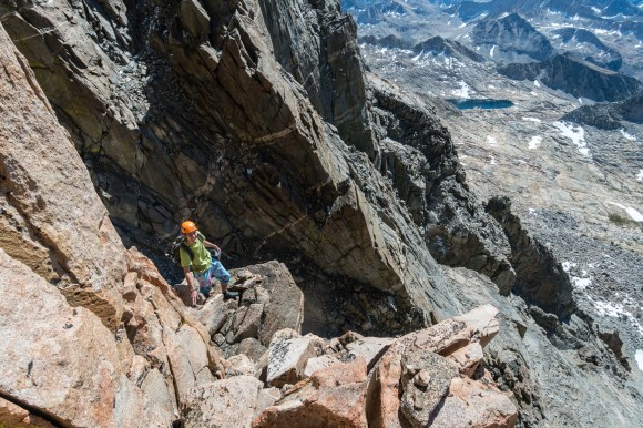
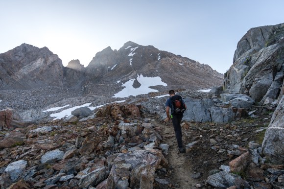
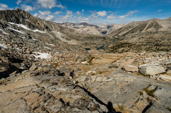
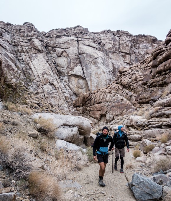
I climbed North Palisade and Mt Russell as back to back dayhikes, #12 and #13 of the California 14ers for me. North Palisade took 13.5 hrs and Mt Russell + Carrillon took 10 hours. Both were beautiful hikes.

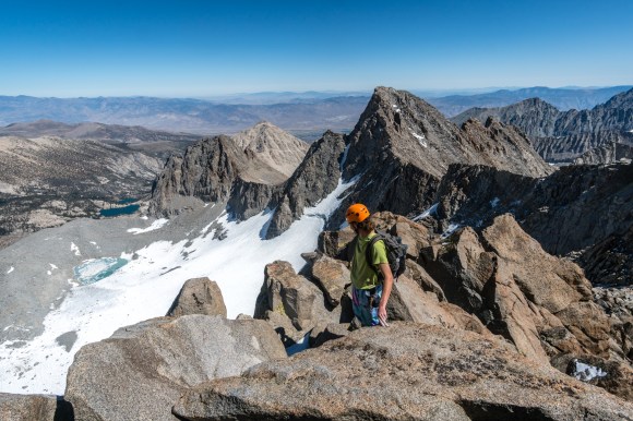
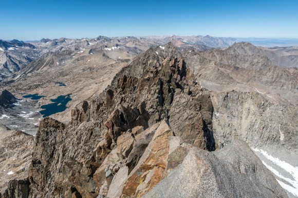
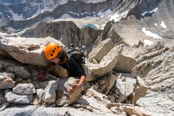
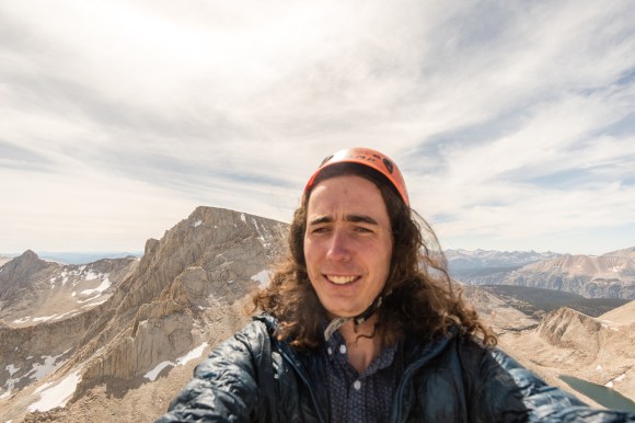
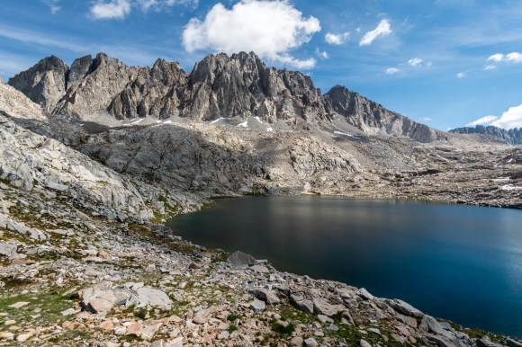
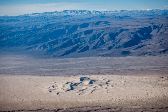
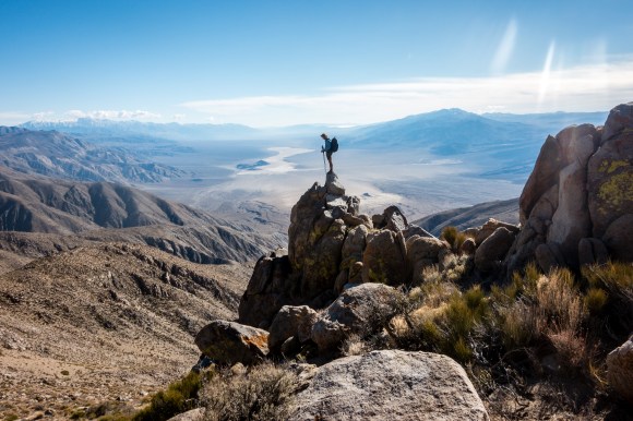
Ever since I hiked the Sierra High Route in 2017 I have been thinking of North Palisade. There are two clusters of 14,000+ foot peaks in California’s Sierra Nevada, and North Palisade looms over the rest other six 14ers in the palisades. Every time I stood at the base of this magnificent peak it looked impossible to climb, however there is a fairly straightforward class 3/4 route to the top. Last Saturday after doing lots of research on the route, Matt and I had the pleasure of climbing this beautiful peak. At the top we were greeted with panoramic views of the Sierra including the other peaks in the palisades, the high route, the PCT, Leconte canyon and much more.

DSC01250.jpg
The view from Thunderbolt Pass
DSC01267.jpg
The Leconte Ledges
DSC01271.jpg
Looking south from just before the summit
DSC01289.jpg
North Palisade
DSC01304.jpg
Looking North at Starlight Peak

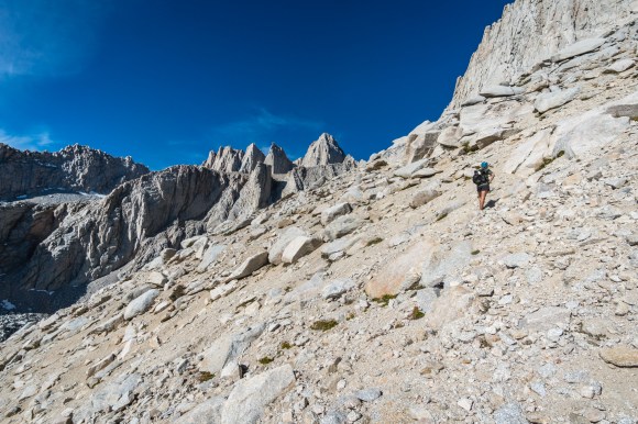
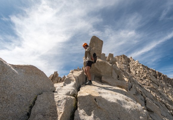
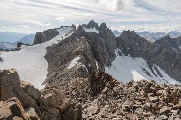
Mt. Russell has similarly been on my mind during all five climbs of Mt. Whitney, it was a joy to finally climb it and I felt it was harder then North Palisade technically. The ridge was spectacularly exposed, but had good hand holds.

DSC01319.jpg
Ari climbing up Mt. Russell
DSC01330.jpg
Mt. Russell and Mt. Whitney from Carrillon
DSC01350.jpg
Matt Climbing up Mt. Russell
DSC01373.jpg
Matt’s turn around point
DSC01363.jpg
Summit of Mt. Russell my 13th of 15 14ers
Categories
Uncategorized

Sill + Polemonium

In early September my friends Adam Noe and I drove to Bishop to attempt to climb Mt. Sill and Polemonium. To approach we took Bishop Pass and then instead of going over Thunderbolt pass, we took the more circuitous Knapsack Pass. From Knapsack we cut across the Palisade Basin to Potluck pass and began climbing. We mistakenly started climbing Sill Peak instead of Mt. Sill. At this point Noe was not feeling well enough to continue, and Adam graciously agreed to walk him down. I descended and then climbed an easy class 2-3 chute to Mt. Sill which had a beautiful summit. At this point I was quite tired, but the views drove me along the ridge line to Polemonium peak. The ridge was good class 2-3 scrambling but the last 100 feet of the peak were very exposed class four. I considered turning around but instead put on my climbing shoes and climbed up to the top. It was a long descent down, but the views from the top of both peaks made the whole trip well worth it. 11/15 CA 14ers.

DSC01159
Adam climbing Bishop Pass, Mt. Agassiz in the background
DSC01172
Looking North from Knapsack Pass
DSC01186
North Palisade 
DSC01202
Noe’s turn around point
DSC01215
Polemonium Peak from the summit of Mt. Sill
DSC01217
Looking back on Mt. Sill
DSC01222
Polemonium Peak, with North Palisade and Starlight in the background
Categories
Uncategorized

Mt. Hood

A quick two day trip to summit Mt. Hood in the middle of a school week, when the weather is right the weather is right. The sunset was well worth all of the driving.

Matt’s trip report: https://www.mattymorrison.com/mthood

DSC00235.jpgDSC00252.jpg

DSC00281.jpg

DSC00320.jpg

Categories
Uncategorized

Channel Islands National Park

I visited the Channel Islands National Park with my friend Clax from the PCT. We only had a weekend so we chose to explore as much of Santa Cruz Island as we could by crossing it on foot. We took the boat to Scorpion’s Anchorage on Saturday Morning and returned on Sunday afternoon. I mainly visited the Channel Islands due to their status as a National Park, however I was blown away by the scenery and biological diversity. I have now been to 34/61 national parks in the United States.DSC00006DSC00016DSC00025DSC00046DSC00051DSC00061DSC00084DSC00090DSC00116DSC00128DSC00158

Categories
Uncategorized

Death Valley 9

My dad and I were skiing in Mammoth, so I decided to hitchhike down to Death Valley and go backpacking there. In Death Valley I met up with John Zahorian, Pepperflake and Chance, four hikers with over 10,000 miles of experience, and we planned a 4-5 day trip.

The plan was to follow the crest of the northern Panamints until eventually arriving at grapevine canyon and then heading north from there, trying to follow ridge lines whenever possible.

DSC02117.jpg
climbing up from Towne Pass

The first day went smoothly except for a little bit of snow, luckily the weather cleared and we found a perfect campsite on the ridge.DSC02127.jpg

DSC02173.jpg

DSC02181.jpg

DSC02183.jpg

The next day had great weather and we continued along the ridge with jaw dropping views and eventually camped at the mouth of grapevine canyon.DSC02191.jpg

DSC02219.jpg

DSC02228.jpg

DSC02249.jpg

The next day we refilled on water and then headed up little dodd canyon to cut over to the racetrack. Just south of the racetrack we began to traverse the Ubehebe ridgeline. All was going well until it started to snow and the snow started to accumulate.DSC02291.jpg

DSC02298.jpg

DSC02329.jpgDSC02339.jpg

Luckily we descended down to the Racetrack safely, and it was still covered in snow. We camped by the Ubehebe leadmine that night.

DSC02356.jpg

DSC02367.jpg
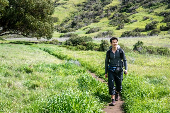
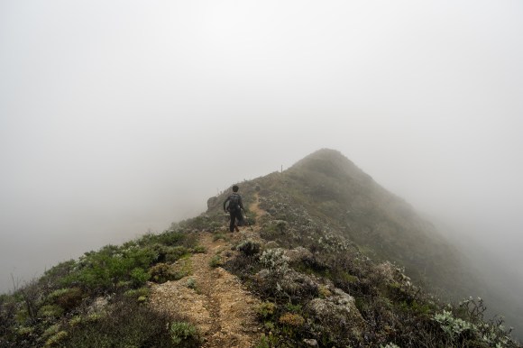
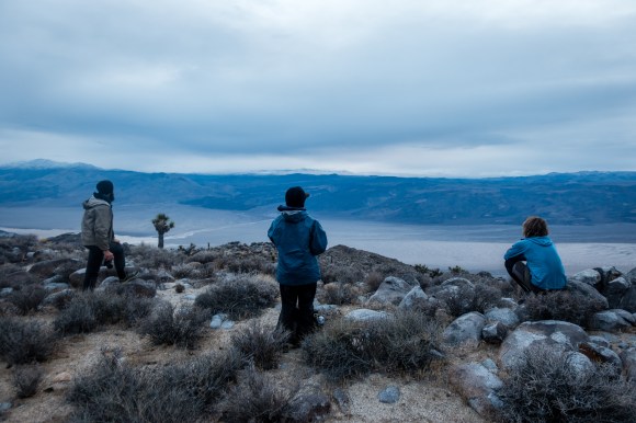
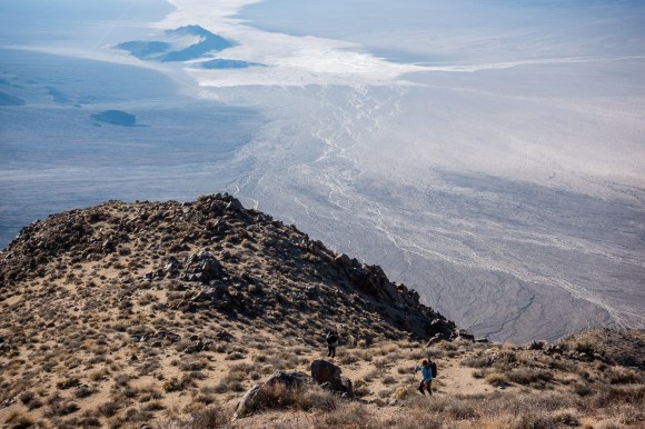
The next morning we faced a decision, continue on into Corridor Canyon or abandon the route and walk out the road. Pepperflake descended into Corridor Canyon well John and I walked out the road. Only a few miles down the road a kind gentleman picked us up and drove us back to our cars.